Bridgeton Wood

Downs, Moorland in Aberdeenshire

Scotland

Bridgeton Wood

Disused buildings at Muir of Fowlis The buildings are in the north angle created at the crossroads at Muir of Fowlis. The name Ladymill appears on OS maps but seems to refer to property across a minor road from these seen here. The 'oast house' like turret is certainly unusual. Wooden buildings associated with these have been removed in recent years: see <a title="https://www.geograph.org.uk/photo/1019382" href="https://www.geograph.org.uk/photo/1019382">Link</a>
(Note: the horizontal grid line at the north side of NJ5611 cuts through the buildings but the nearer part is certainly shown to be in that grid square.)
Disused buildings at Muir of Fowlis Credit: Trevor Littlewood

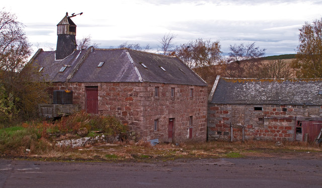
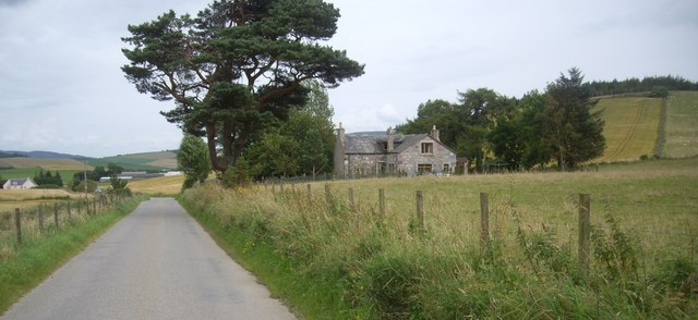
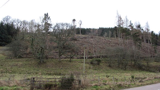
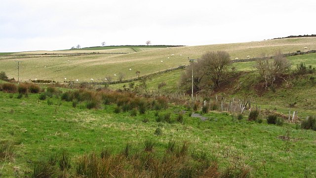
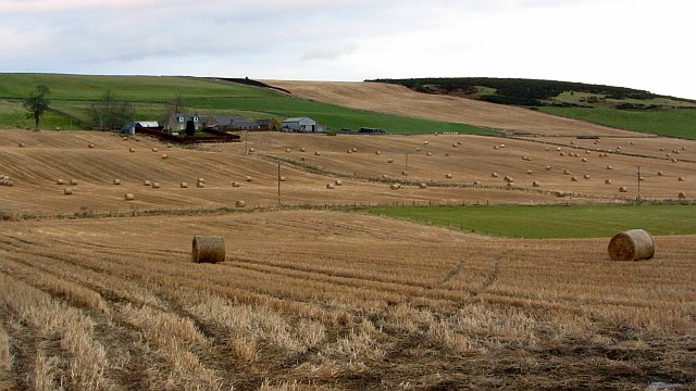
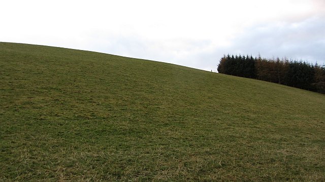
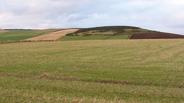
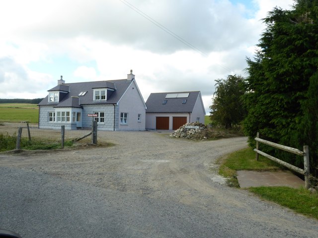
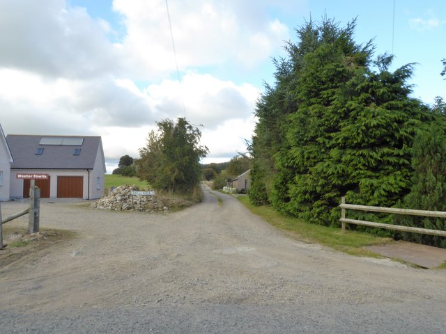
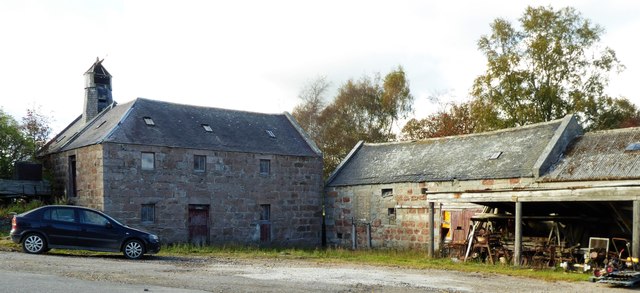
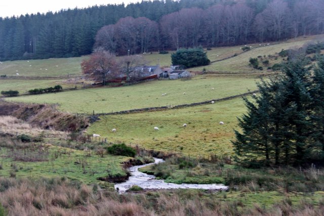
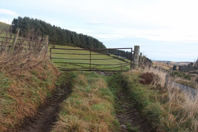
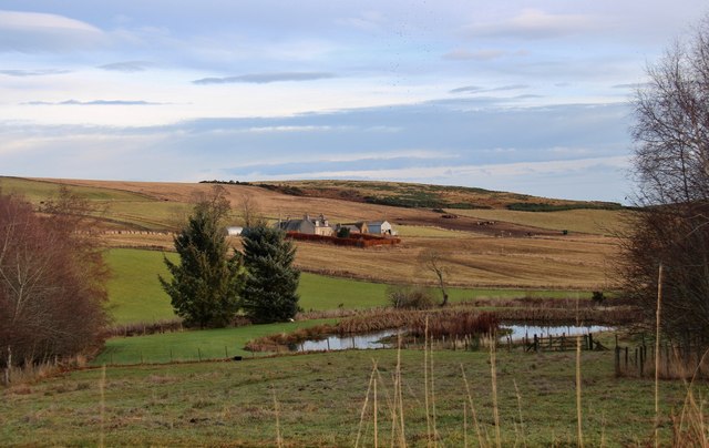
Bridgeton Wood, located in Aberdeenshire, Scotland, is a picturesque woodland area that spans across the downs and moorland. Covering an estimated area of several hectares, the woodland is nestled amidst rolling green hills and offers visitors a tranquil and serene escape from the hustle and bustle of daily life.

The wood is characterized by a diverse range of trees, including oak, birch, and Scots pine, which create a vibrant and colorful canopy throughout the changing seasons. These trees provide a habitat for a variety of wildlife, such as red squirrels, roe deer, and a wide array of bird species, making it a popular spot for nature enthusiasts and birdwatchers.

Traversing through Bridgeton Wood, visitors can explore a network of well-marked trails, allowing them to discover the area's natural beauty at their own pace. The paths wind their way through the wood, offering scenic views of the surrounding countryside and opportunities to spot different plant species, including bluebells and wild orchids.

In addition to its natural charm, Bridgeton Wood also holds historical significance. The wood is believed to have ancient roots, with evidence of human activity dating back thousands of years. Archaeological remains, such as ancient burial mounds and standing stones, can be found scattered throughout the area, adding to its mystique and allure.

Overall, Bridgeton Wood in Aberdeenshire offers visitors a chance to immerse themselves in the beauty of nature, explore its rich biodiversity, and connect with the region's history. Whether it is for a leisurely stroll or a more in-depth exploration, this woodland is a must-visit destination for those seeking a peaceful and enchanting experience.

If you have any feedback on the listing, please let us know in the comments section below.

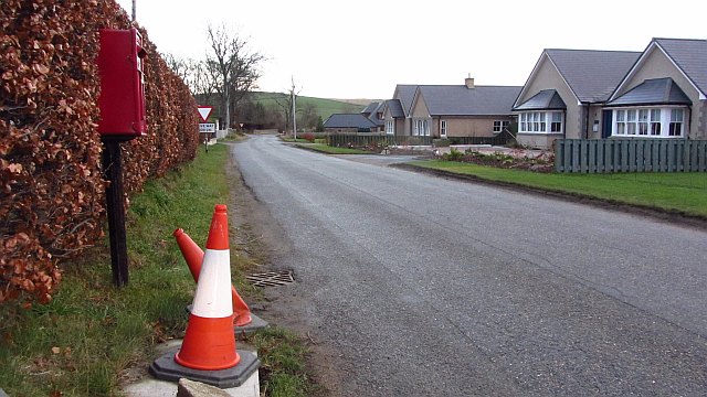
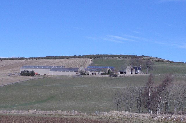
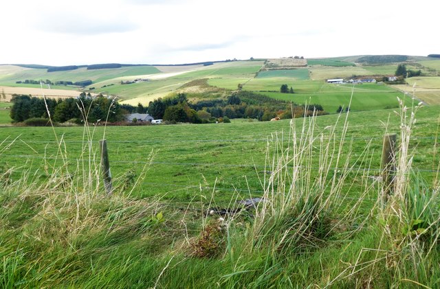
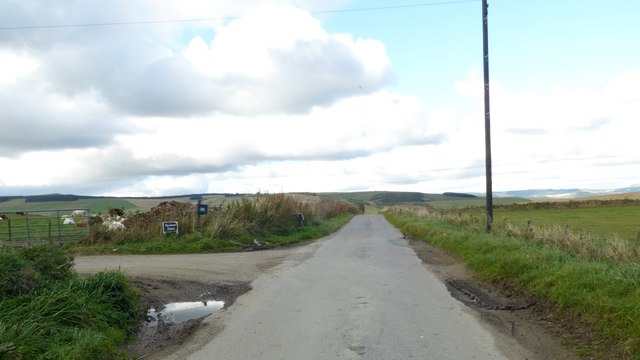
Bridgeton Wood Images

Images are sourced within 2km of 57.203436/-2.7474206 or Grid Reference NJ5412. Thanks to Geograph Open Source API. All images are credited.

Disused buildings at Muir of Fowlis The buildings are in the north angle created at the crossroads at Muir of Fowlis. The name Ladymill appears on OS maps but seems to refer to property across a minor road from these seen here. The 'oast house' like turret is certainly unusual. Wooden buildings associated with these have been removed in recent years: see <a title="https://www.geograph.org.uk/photo/1019382" href="https://www.geograph.org.uk/photo/1019382">Link</a>
(Note: the horizontal grid line at the north side of NJ5611 cuts through the buildings but the nearer part is certainly shown to be in that grid square.)
Disused buildings at Muir of Fowlis
The buildings are in the north angle created at the crossroads at Muir of Fowlis. The name Ladymill appears on OS maps but seems to refer to property across a minor road from these seen here. The 'oast house' like turret is certainly unusual. Wooden buildings associated with these have been removed in recent years: see Link (Note: the horizontal grid line at the north side of NJ5611 cuts through the buildings but the nearer part is certainly shown to be in that grid square.)
Aberdeenshire crossroads Straight on for Alford!
Aberdeenshire crossroads
Straight on for Alford!
Approach to Bogend From Leochel-Cushnie.
Approach to Bogend
From Leochel-Cushnie.
Kirk Wood A recently felled block of forestry.
Kirk Wood
A recently felled block of forestry.
Cushnie Burn
Cushnie Burn
East Eninteer
East Eninteer
Steep grass, Mill of Foulis The conifers are part of a very small, narrow wood.
Steep grass, Mill of Foulis
The conifers are part of a very small, narrow wood.
Stubble, Woodend
Stubble, Woodend
Muir of Foulis New houses in Muir of Foulis.
Muir of Foulis
New houses in Muir of Foulis.
Carnaveron Farm Seen from the minor road near Muggertough.
Carnaveron Farm
Seen from the minor road near Muggertough.
View downhill to Craigmill (on left) With West Eninteer farmstead at far right.
View downhill to Craigmill (on left)
With West Eninteer farmstead at far right.
Access to Newbraes House From the public road.
Access to Newbraes House
From the public road.
A new dwelling at the access junction for Wester Fowlis farm As yet unnamed on maps; presumably the 'Cairnlarrack' sign is for the older house to the right of this junction.
A new dwelling at the access junction for Wester Fowlis farm
As yet unnamed on maps; presumably the 'Cairnlarrack' sign is for the older house to the right of this junction.
Lane to Wester Fowlis farm From the public road between Muir of Fowlis and Bogend.
Lane to Wester Fowlis farm
From the public road between Muir of Fowlis and Bogend.
Ladymill, Muir of Fowlis <span class="nowrap"><a title="http://www.buildingsatrisk.org.uk/details/893812" rel="nofollow ugc noopener" href="http://www.buildingsatrisk.org.uk/details/893812">Link</a><img style="margin-left:2px;" alt="External link" title="External link - shift click to open in new window" src="https://s1.geograph.org.uk/img/external.png" width="10" height="10"/></span> gives current status of this Grade B listed building.
Ladymill, Muir of Fowlis
LinkExternal link gives current status of this Grade B listed building.
Cushnie Burn below Waterside
Field access on the north slopes above Cushnie Burn
Pond at Eninteer
Pond at Eninteer
Show me another place!

Bridgeton Wood is located at Grid Ref: NJ5412 (Lat: 57.203436, Lng: -2.7474206)

Unitary Authority: Aberdeenshire

Police Authority: North East

What 3 Words

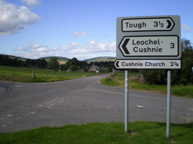
///scrolled.irrigate.meaty. Near Alford, Aberdeenshire

Nearby Locations

Bridgeton Wood

Related Wikis

Asloun Castle

Asloun Castle is a castle, formerly Z-plan, dating from the 16th century, 2 miles (3.2 km) south-west of Alford, in Aberdeenshire, Scotland, of which only...

Marr, Scotland

Marr (Scottish Gaelic: Màrr) is one of six committee areas in Aberdeenshire, Scotland. It has a population of 34,038 (2001 Census). Someone from Marr...

Cushnie Castle

Cushnie Castle was a 16th-century tower house, about 6 miles (9.7 km) south west of Alford, Aberdeenshire, Scotland, near Cushnie Burn, in the Glen of...

Bridge of Alford

Bridge of Alford is a village in Aberdeenshire, Scotland. Bridge of Alford is situated near Alford beside the bridge over the River Don. It is on the...

Nearby Amenities

Located within 500m of 57.203436,-2.7474206
Power: pole
Lat/Long: 57.2008342/-2.7541462
Power: pole
Lat/Long: 57.1990863/-2.7458234
Power: pole
Lat/Long: 57.1995865/-2.7465058
Power: pole
Lat/Long: 57.2004069/-2.7417927
Power: pole
Lat/Long: 57.2001994/-2.74299
Power: pole
Lat/Long: 57.1999891/-2.7442126
Power: pole
Lat/Long: 57.1997858/-2.7453846
Power: pole
Lat/Long: 57.1993749/-2.747731
Power: pole
Lat/Long: 57.1991701/-2.7489004
The data included in this document is from www.openstreetmap.org. The data is made available under ODbL.

Have you been to Bridgeton Wood?

Leave your review of Bridgeton Wood below (or comments, questions and feedback).