Caynham Woods
Downs, Moorland in Shropshire
England
Caynham Woods

Caynham Woods is a picturesque woodland area located in the county of Shropshire, England. Nestled in the heart of the countryside, the woods cover an expansive area of approximately 300 hectares. With a diverse range of habitats, including downs and moorland, it is a haven for wildlife and a popular destination for nature enthusiasts.
The woods are home to an abundance of plant and animal species, offering visitors a unique opportunity to explore and connect with nature. Ancient oak and beech trees dominate the landscape, providing a stunning backdrop for leisurely walks and peaceful picnics. The dense foliage and towering canopies create a sense of tranquility and seclusion, making it the perfect escape from the hustle and bustle of everyday life.
Wildlife thrives within Caynham Woods, with sightings of deer, foxes, badgers, and a variety of bird species being common. The woods are particularly renowned for their birdlife, attracting enthusiasts who come to observe and photograph the numerous species that call this area home.
Walking trails and footpaths crisscross the woods, offering visitors the opportunity to explore its many hidden gems. These trails vary in difficulty, catering to all levels of fitness and providing a chance to discover the woods' diverse flora and fauna.
Caynham Woods also boasts historical significance, with remnants of ancient settlements and structures scattered throughout. These archaeological features provide a glimpse into the area's rich past and add an extra layer of intrigue to any visit.
With its natural beauty, abundant wildlife, and historical significance, Caynham Woods is a true gem of Shropshire, attracting both locals and tourists alike. Whether visitors seek a quiet retreat or an adventure in the great outdoors, Caynham Woods offers an unforgettable experience for all who venture into its enchanting embrace.
If you have any feedback on the listing, please let us know in the comments section below.
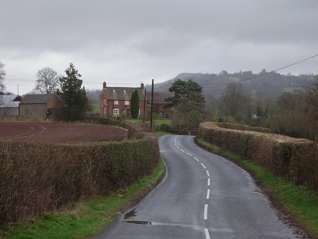
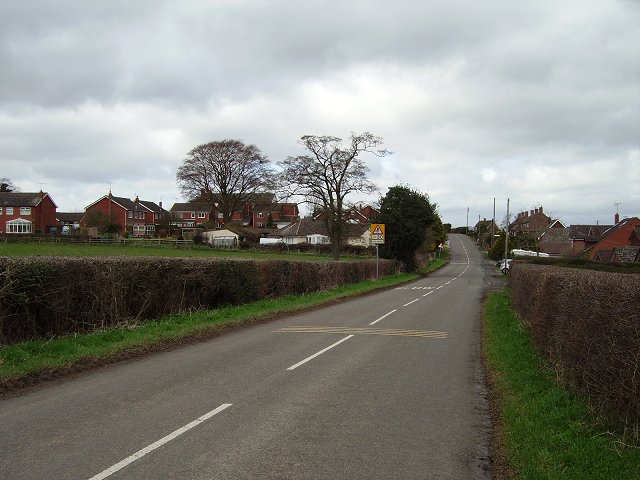
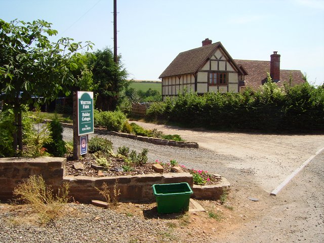
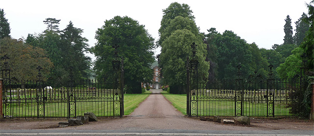
Caynham Woods Images
Images are sourced within 2km of 52.353139/-2.6629649 or Grid Reference SO5472. Thanks to Geograph Open Source API. All images are credited.


Caynham Woods is located at Grid Ref: SO5472 (Lat: 52.353139, Lng: -2.6629649)
Unitary Authority: Shropshire
Police Authority: West Mercia
What 3 Words
///doubts.narrating.hovered. Near Ludlow, Shropshire
Nearby Locations
Related Wikis
Caynham
Caynham is a village and civil parish in south Shropshire, England. The parish lies on the River Teme. It can be accessed via the A4117 or the A49 roads...

Ledwyche Brook
Ledwyche Brook is a minor river in south Shropshire, England. It is sometimes referred to as the River Ledwyche and spelled variously, including "Ledwich...
Sheet, Shropshire
Sheet (or "The Sheet") is a small modern village in the parish of Ludford about 1 mile (1.6 km) from the town centre of Ludlow, Shropshire. It was mentioned...
Whitton, Shropshire
Whitton is a hamlet and civil parish in Shropshire, England. It is situated east of Caynham and the market town of Ludlow is 5.2 miles (8.4 km) away. There...

Knowbury
Knowbury is a small village near Ludlow in Shropshire, England. It is located in the civil parish of Caynham. It is near to Clee Hill Village and had a...
Henley Hall, Shropshire
Henley Hall is a building of historical significance and is listed on the English Heritage Register. It was built in about 1610 by the Powys family and...

Greete
Greete is a hamlet and civil parish in Shropshire, England. It is situated between the villages of Caynham and Burford, about 5.2 miles (8.4 km) southeast...

Ashford Carbonell
Ashford Carbonell (or Ashford Carbonel) is a village and civil parish in south Shropshire, England, near the county border with Herefordshire. The village...
Nearby Amenities
Located within 500m of 52.353139,-2.6629649Have you been to Caynham Woods?
Leave your review of Caynham Woods below (or comments, questions and feedback).