Mosshouses Moor

Downs, Moorland in Roxburghshire

Scotland

Mosshouses Moor

Farm buildings at Over Langshaw With Over Langshaw Farm ice cream dispenser, between the rightmost red doors.
Farm buildings at Over Langshaw Credit: M J Richardson

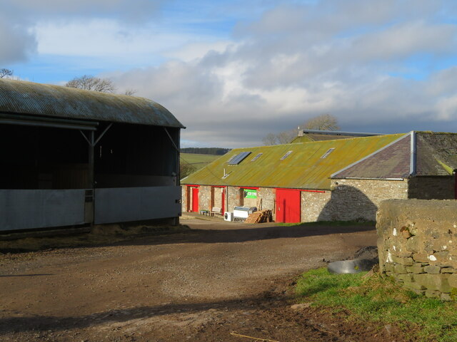
Mosshouses Moor is a sprawling expanse of downs and moorland located in Roxburghshire, Scotland. Covering an area of approximately several square kilometers, this unique natural landscape offers a diverse range of features and habitats.

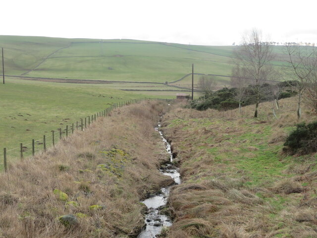
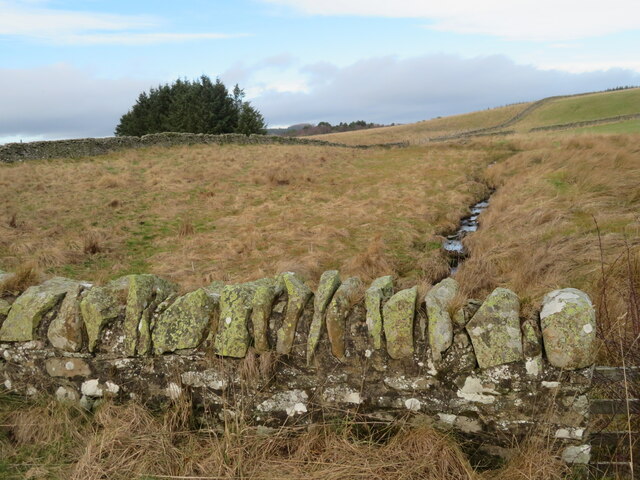
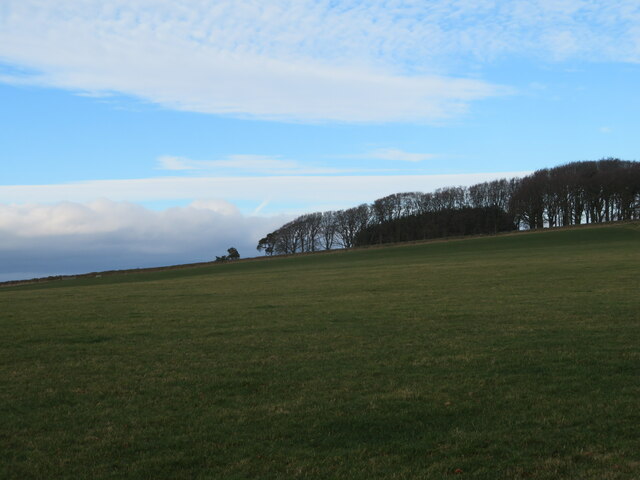
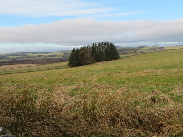
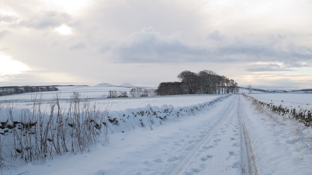
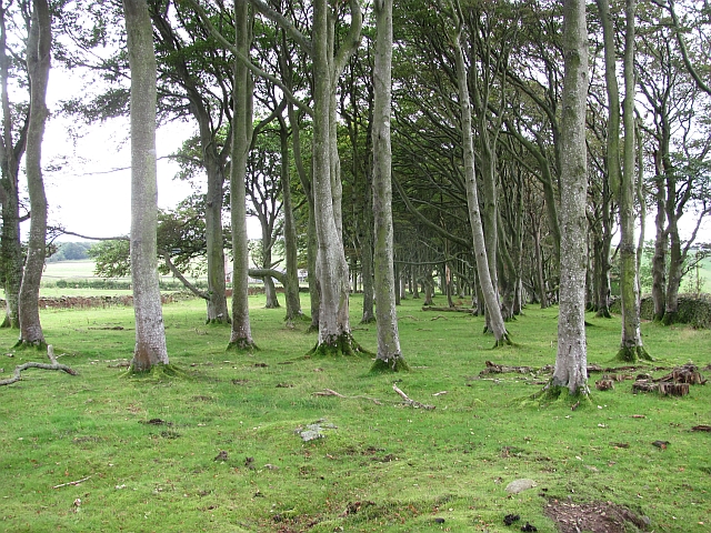
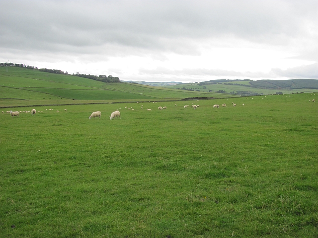
The moorland itself is characterized by its open, treeless terrain, dominated by low-growing vegetation such as heather, grasses, and mosses. This creates a picturesque and serene atmosphere, with rolling hills and vast expanses of purple and green hues, particularly during the blooming season of the heather.

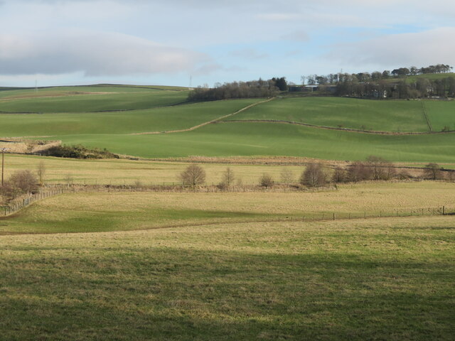
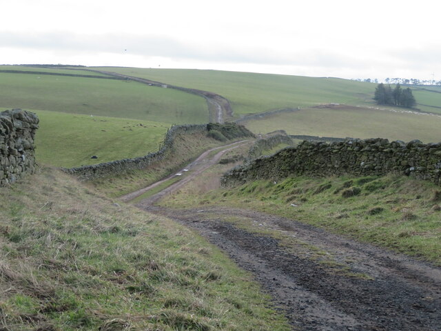
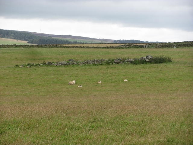
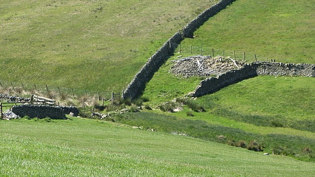
The downs, on the other hand, are slightly elevated areas with gentle slopes, covered in short grasses and occasional shrubs. These downs provide breathtaking panoramic views of the surrounding countryside, including the nearby Cheviot Hills and the River Teviot.

Mosshouses Moor is home to a variety of wildlife, including several species of birds such as red grouse, skylarks, and curlews, which thrive in the moorland habitat. The area also supports a population of small mammals like rabbits and hares, as well as occasional sightings of deer.

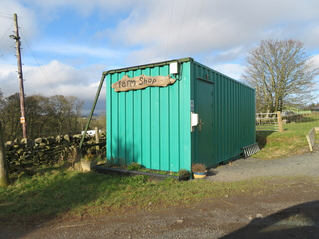
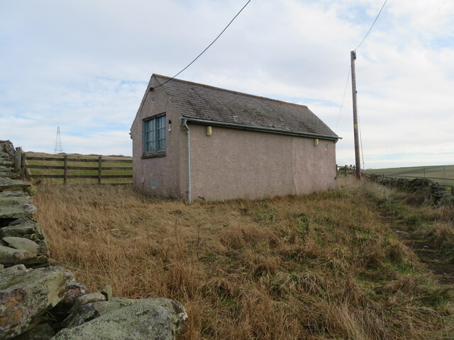
The moorland is a popular destination for nature enthusiasts, hikers, and birdwatchers, who are drawn to its tranquility and natural beauty. There are several walking trails and paths that allow visitors to explore the area, offering opportunities for wildlife spotting and birdwatching.

Overall, Mosshouses Moor in Roxburghshire is a captivating natural landscape, showcasing the unique beauty of downs and moorland. Its rich biodiversity and stunning vistas make it an ideal location for those seeking to immerse themselves in the wonders of Scotland's countryside.

If you have any feedback on the listing, please let us know in the comments section below.

Mosshouses Moor Images

Images are sourced within 2km of 55.655947/-2.7440221 or Grid Reference NT5340. Thanks to Geograph Open Source API. All images are credited.

Farm buildings at Over Langshaw With Over Langshaw Farm ice cream dispenser, between the rightmost red doors.
Farm buildings at Over Langshaw
With Over Langshaw Farm ice cream dispenser, between the rightmost red doors.
Over Langshaw Farm Shop A novel use for a container.
Over Langshaw Farm Shop
A novel use for a container.
Telephone Exchange near Langshaw In what might be described as 'the middle of nowhere'.
Telephone Exchange near Langshaw
In what might be described as 'the middle of nowhere'.
Rough grassland near Bluecairn With a small plantation and electricity transmission line.
Rough grassland near Bluecairn
With a small plantation and electricity transmission line.
The Moss Burn A tributary of the Allan Water, near Langshaw. The small building will be connected with the hydraulic ram on the burn, marked on the map.
The Moss Burn
A tributary of the Allan Water, near Langshaw. The small building will be connected with the hydraulic ram on the burn, marked on the map.
The Moss Burn Looking north from the bridge over. A tributary of the Allan Water.
The Moss Burn
Looking north from the bridge over. A tributary of the Allan Water.
The valley of the Allan Water Looking east across the valley to Over Langshaw.
The valley of the Allan Water
Looking east across the valley to Over Langshaw.
The Southern Upland Way at Bluecairn Looking south over a landscape of pastures and drystone walls.
The Southern Upland Way at Bluecairn
Looking south over a landscape of pastures and drystone walls.
Landscape at Bluecairn Looking southwest from Bluecairn over an expanse of grassy farmland. The forestry in the distance is on Ladhope Moor.
Landscape at Bluecairn
Looking southwest from Bluecairn over an expanse of grassy farmland. The forestry in the distance is on Ladhope Moor.
Southern Upland Way signpost By a shelter belt at a crossroads near Bluecairn.
Southern Upland Way signpost
By a shelter belt at a crossroads near Bluecairn.
Pasture at Jeaniefield Looking over the pasture to a hill top plantation.
Pasture at Jeaniefield
Looking over the pasture to a hill top plantation.
Rough grassland and a small plantation Near Jeaniefield and Bluecairn.
Rough grassland and a small plantation
Near Jeaniefield and Bluecairn.
Early snow at Bluecairns Farm near Blainslie. The farm lies on the route of the Southern Upland Way path. The Eildon Hills are in the distance.
Early snow at Bluecairns Farm near Blainslie.
The farm lies on the route of the Southern Upland Way path. The Eildon Hills are in the distance.
Southern Upland Way near Jeaniefield Bluecairn Farm is just visible behind the copse ahead and the Eildon Hills are a distinctive landmark on the horizon.
Southern Upland Way near Jeaniefield
Bluecairn Farm is just visible behind the copse ahead and the Eildon Hills are a distinctive landmark on the horizon.
Stripwood, Bluecairn Grass floored woodland, obviously grazed.
Stripwood, Bluecairn
Grass floored woodland, obviously grazed.
A clearance cairn Pile of stones left from when the land was improved and won from moorland.
A clearance cairn
Pile of stones left from when the land was improved and won from moorland.
Grassland, Bluecairn Top of the ridge between the Gala Water and Lauderdale.
Grassland, Bluecairn
Top of the ridge between the Gala Water and Lauderdale.
Kedslie Burn A meeting of dykes beside the burn.
Kedslie Burn
A meeting of dykes beside the burn.
Show me another place!

Mosshouses Moor is located at Grid Ref: NT5340 (Lat: 55.655947, Lng: -2.7440221)

Unitary Authority: The Scottish Borders

Police Authority: The Lothians and Scottish Borders

What 3 Words

///underway.decisions.scooters. Near Earlston, Scottish Borders

Related Wikis

Carolside, Scottish Borders

Carolside is an estate by the Leader Water, in the Scottish Borders. It is located one mile (1.6 km) north of Earlston, in the former county of Berwickshire...

Birkenside, Scottish Borders

Birkenside is a village in the Scottish Borders, Scotland.

Allanshaws

Allanshaws is a place and farm off the B6362, in Lauderdale, by the Allan Water, in the parish of Melrose in the Scottish Borders area of Scotland, formerly...

A6105 road

The A6105 road is an A road in the Scottish Borders, Scotland and Northumberland, England. It runs from the village of Earlston to Berwick on Tweed going...

Nearby Amenities

Located within 500m of 55.655947,-2.7440221
Kedslie Hill
Ele: 284
Natural: peak
Lat/Long: 55.656664/-2.7383354
The data included in this document is from www.openstreetmap.org. The data is made available under ODbL.

Have you been to Mosshouses Moor?

Leave your review of Mosshouses Moor below (or comments, questions and feedback).