Hall Moss
Downs, Moorland in Westmorland Eden
England
Hall Moss

Hall Moss is a picturesque area located in the district of Westmorland in the northwest region of England. It is renowned for its stunning natural beauty and diverse landscape, consisting of both downs and moorland.
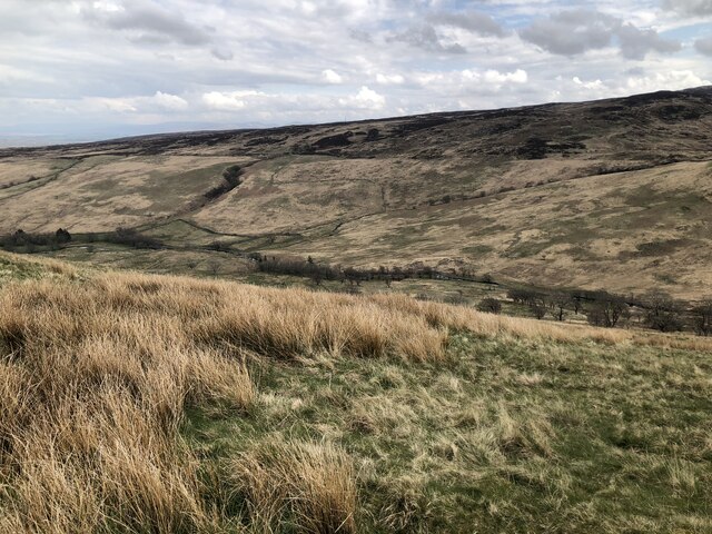
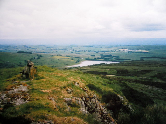
The downs in Hall Moss offer breathtaking views of rolling hills covered in lush green grass and scattered with vibrant wildflowers during the spring and summer months. These open, expansive spaces provide ample opportunities for hiking, picnicking, and enjoying the peaceful surroundings. The downs also attract a wide range of local wildlife, including various bird species, rabbits, and deer, making it a popular spot for nature enthusiasts and birdwatchers.
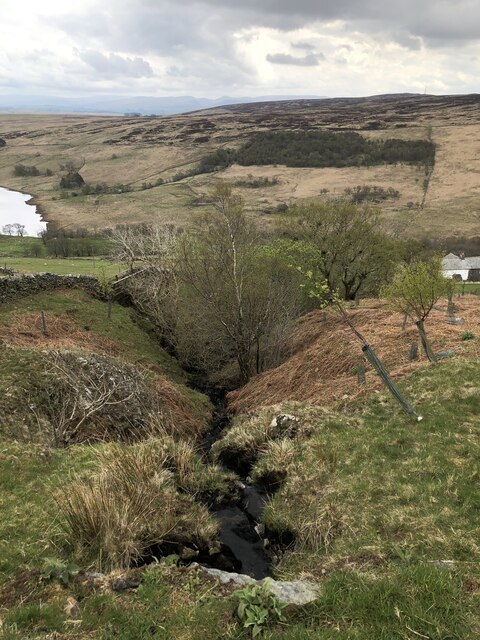
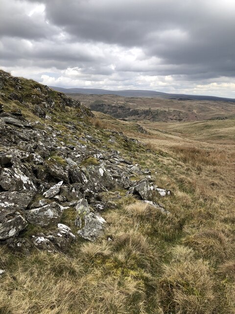
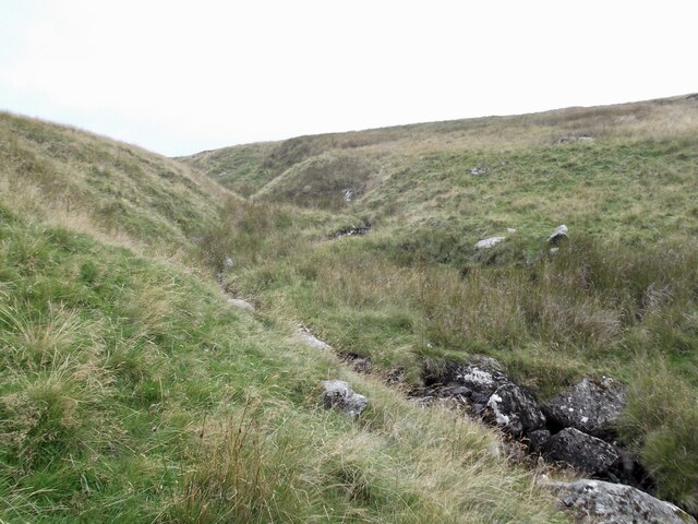
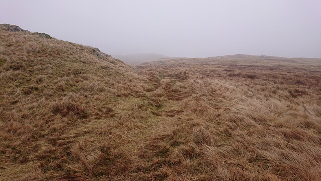
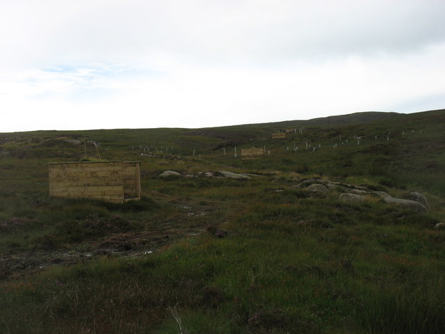
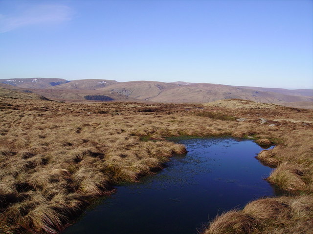
On the other hand, the moorland in Hall Moss provides a completely different experience. With its rugged terrain, heather-covered hills, and scattered rocky outcrops, the moorland offers a more rugged and dramatic landscape. This area is perfect for those seeking a challenging hike or a peaceful stroll amidst the solitude of nature. The moorland also boasts several small streams and ponds, adding to its charm and providing a habitat for various aquatic species.
Visitors to Hall Moss can enjoy the tranquility and serenity that these natural landscapes offer, as well as the opportunity to explore the nearby villages and towns, each with their own unique charm and history. With its combination of downs and moorland, Hall Moss truly offers a diverse and captivating experience for nature lovers and outdoor enthusiasts alike.
If you have any feedback on the listing, please let us know in the comments section below.
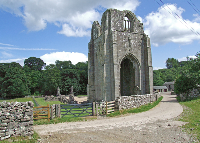
Hall Moss Images
Images are sourced within 2km of 54.493757/-2.7234191 or Grid Reference NY5311. Thanks to Geograph Open Source API. All images are credited.


Hall Moss is located at Grid Ref: NY5311 (Lat: 54.493757, Lng: -2.7234191)
Administrative County: Cumbria
District: Eden
Police Authority: Cumbria
What 3 Words
///example.collected.special. Near Shap, Cumbria
Nearby Locations
Related Wikis
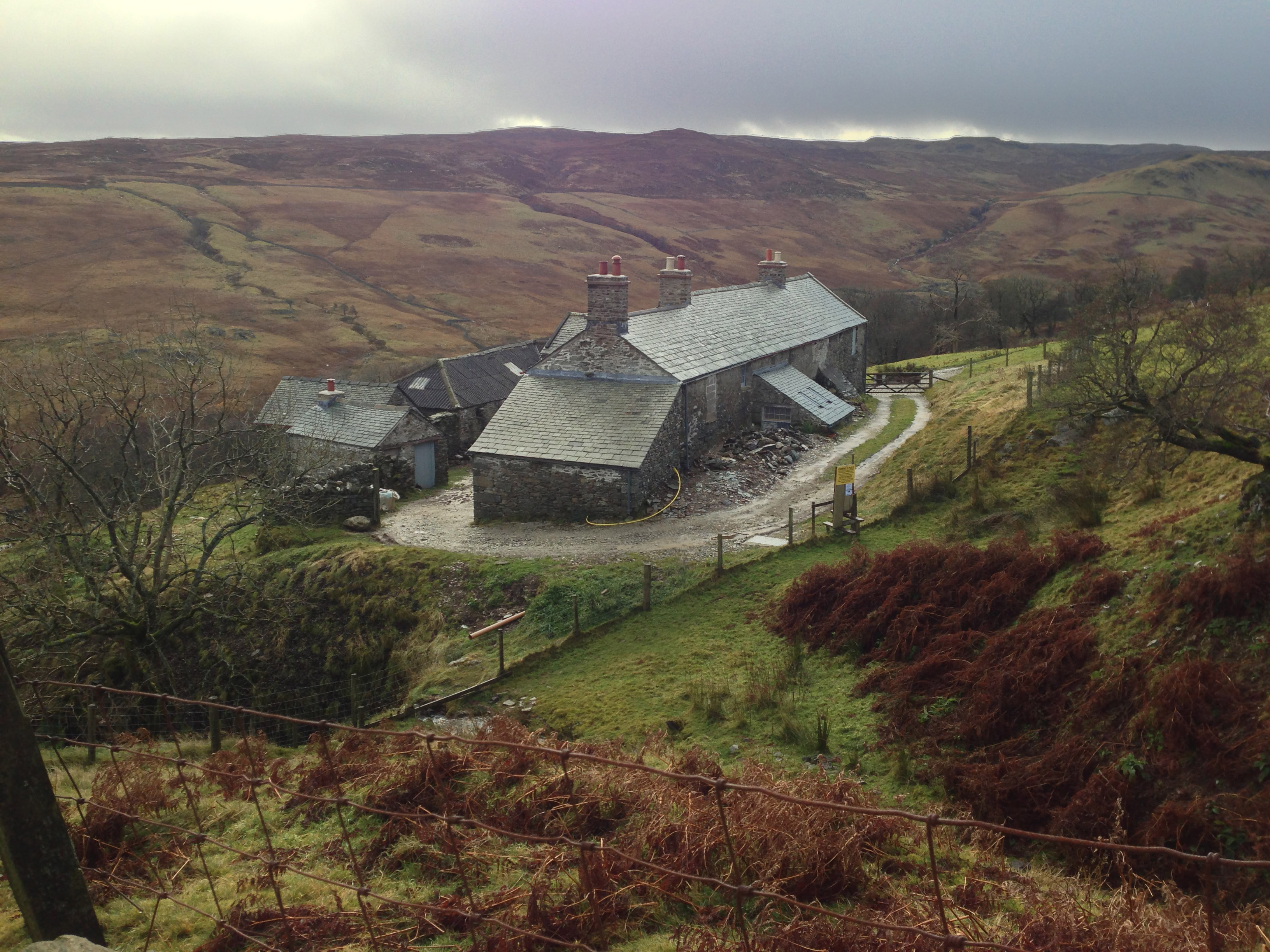
Sleddale Hall
Sleddale Hall is a farmhouse on the north side of the Wet Sleddale valley near Shap in Cumbria, England. It featured as "Crow Crag", Uncle Monty's Lake...
Shap Rural
Shap Rural is a very large, but sparsely populated, civil parish in the Eden district of Cumbria in England, covering part of the Lake District National...

Seat Robert
Seat Robert is a hill in the east of the English Lake District, south west of Shap, Cumbria. It is the subject of a chapter of Wainwright's book The Outlying...

Wet Sleddale Reservoir
Wet Sleddale Reservoir is an artificial reservoir set amongst the Shap Fells 4 kilometres (2 mi) south of the village of Shap in Cumbria, England, and...
Wet Sleddale Horseshoe
The Wet Sleddale Horseshoe is an upland area in the English Lake District, around the Wet Sleddale Reservoir, Cumbria. It is the subject of a chapter of...

Swindale Beck
Swindale Beck is a stream in Cumbria, England. It is formed at Swindale Head where Mosedale Beck, from the slopes of Tarn Crag, joins Hobgrumble Beck from...

Mosedale Beck (Swindale)
Mosedale Beck is a stream in Cumbria, England, which runs between Tarn Crag and Branstree, flowing north to join Swindale Beck at Swindale Head; Swindale...

Wasdale Horseshoe
The Wasdale Horseshoe is a group of hills on the eastern fringe of the English Lake District, to the west of the A6, south of Shap, Cumbria. They surround...
Nearby Amenities
Located within 500m of 54.493757,-2.7234191Have you been to Hall Moss?
Leave your review of Hall Moss below (or comments, questions and feedback).