Michael Moss
Downs, Moorland in Westmorland Eden
England
Michael Moss

Michael Moss, Westmorland is a picturesque area located in the county of Cumbria, England. Situated in the northwestern part of the country, this region is renowned for its stunning natural beauty and rich cultural heritage. The district is composed of three main areas: Downs, Moorland, and the town of Westmorland.
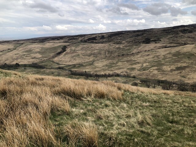
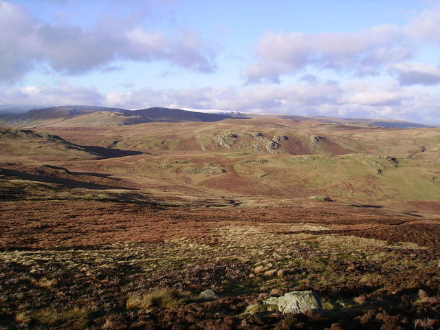
The Downs area of Michael Moss is characterized by rolling hills and lush green meadows, providing a serene and idyllic countryside setting. It is a favorite spot for hikers, walkers, and nature enthusiasts who can explore the numerous trails and paths that wind through the landscape. The Downs also offer breathtaking panoramic views of the surrounding areas.
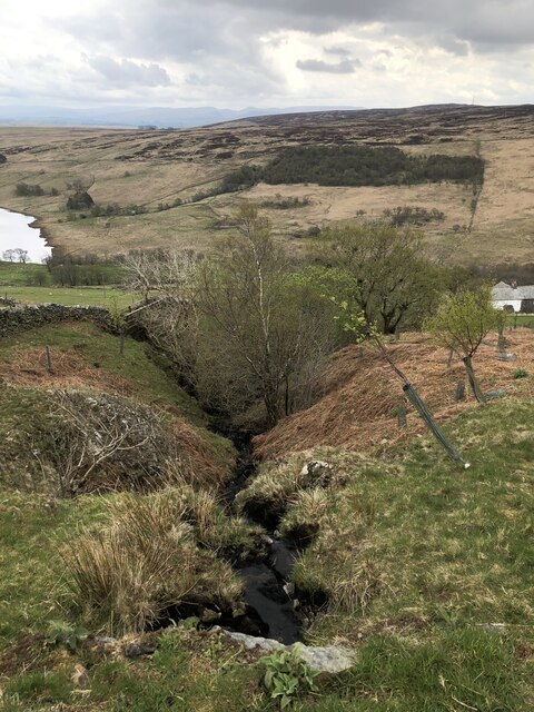
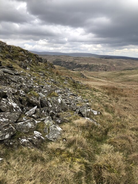
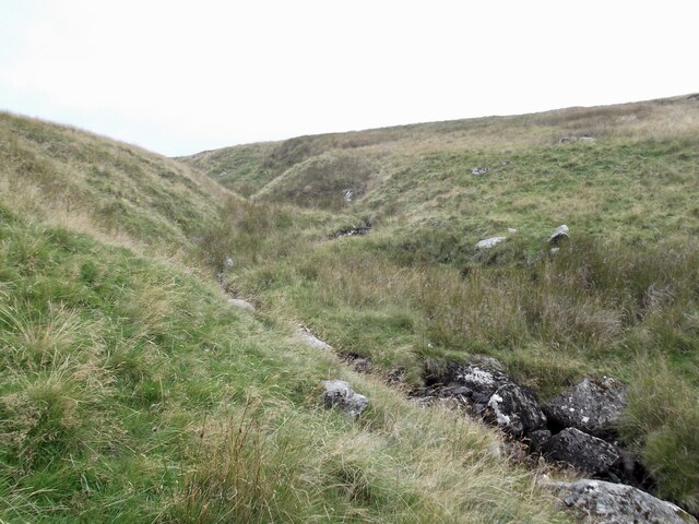
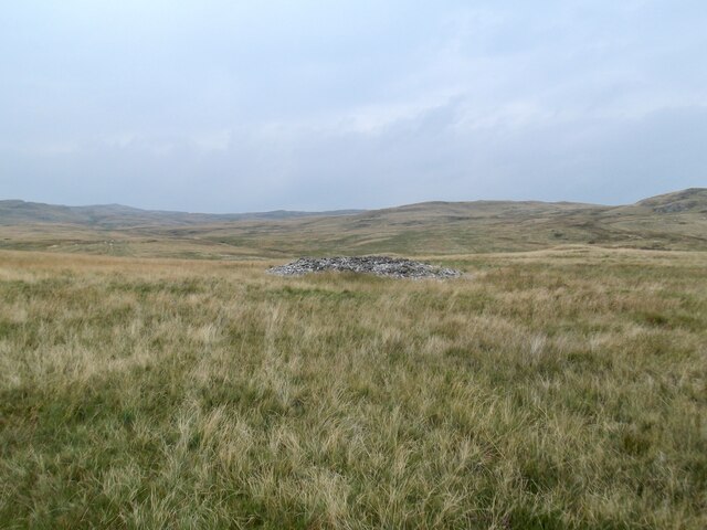
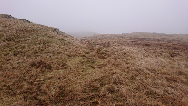
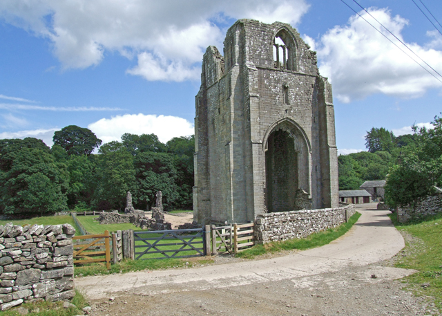
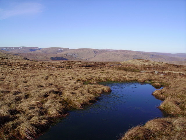
Moorland, on the other hand, is characterized by its vast expanses of open land covered in heather, moss, and grass. This rugged terrain provides a unique habitat for a variety of flora and fauna, including birds, small mammals, and wildflowers. The moorland is also home to several archaeological sites, including ancient stone circles and burial mounds, adding to the historical significance of the area.
The town of Westmorland serves as the administrative center of the district and is known for its charming streets lined with traditional stone buildings. It offers a range of amenities, including shops, restaurants, and pubs, where visitors can experience the warm hospitality and local cuisine.
Overall, Michael Moss, Westmorland is a destination that offers a perfect blend of natural beauty, tranquility, and historical charm, making it a must-visit location for those seeking a peaceful retreat in the heart of England's countryside.
If you have any feedback on the listing, please let us know in the comments section below.
Michael Moss Images
Images are sourced within 2km of 54.498027/-2.7171485 or Grid Reference NY5311. Thanks to Geograph Open Source API. All images are credited.


Michael Moss is located at Grid Ref: NY5311 (Lat: 54.498027, Lng: -2.7171485)
Administrative County: Cumbria
District: Eden
Police Authority: Cumbria
What 3 Words
///obstruction.newsreel.stags. Near Shap, Cumbria
Nearby Locations
Related Wikis
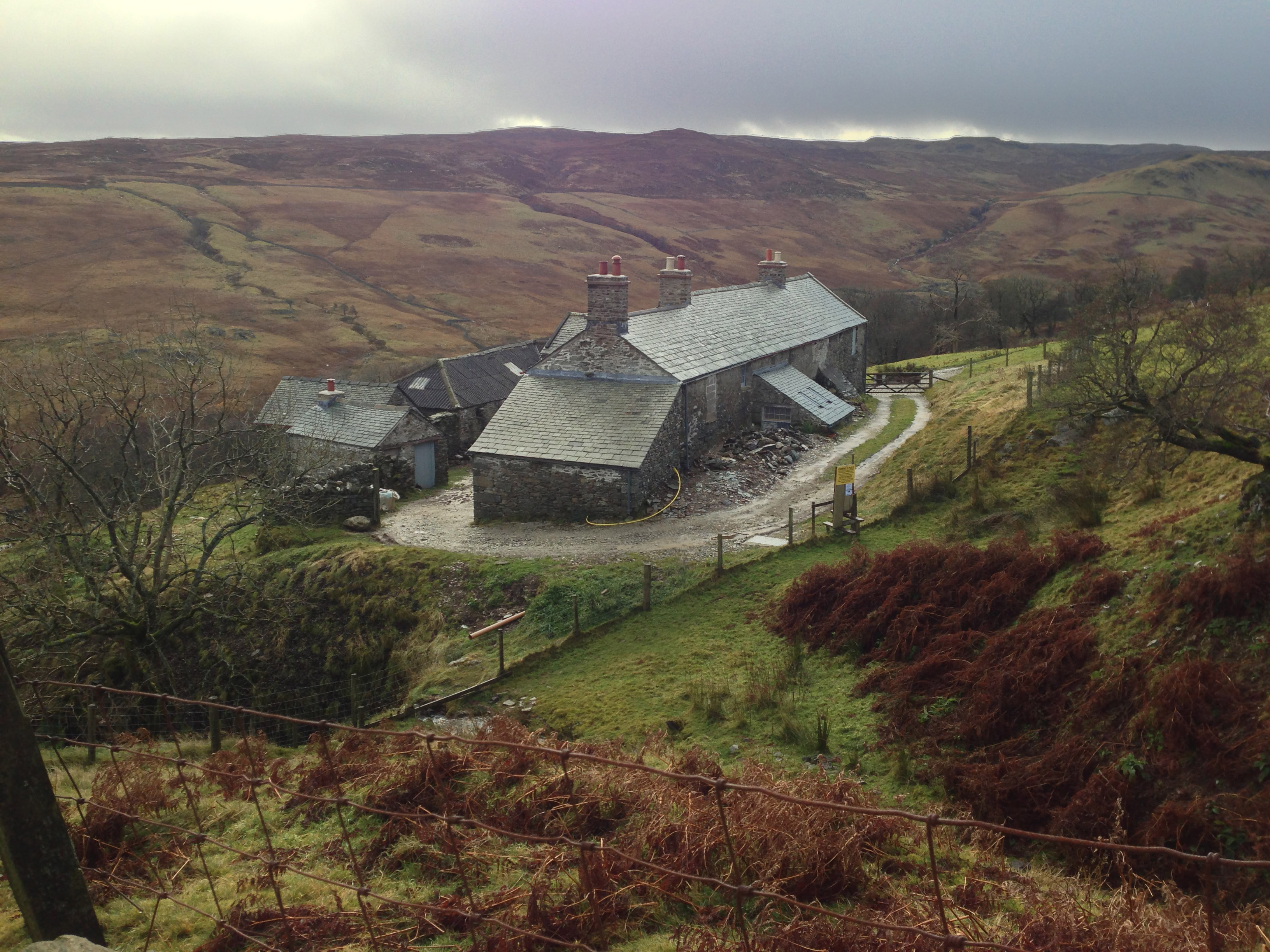
Sleddale Hall
Sleddale Hall is a farmhouse on the north side of the Wet Sleddale valley near Shap in Cumbria, England. It featured as "Crow Crag", Uncle Monty's Lake...
Shap Rural
Shap Rural is a very large, but sparsely populated, civil parish in the Eden district of Cumbria in England, covering part of the Lake District National...

Seat Robert
Seat Robert is a hill in the east of the English Lake District, south west of Shap, Cumbria. It is the subject of a chapter of Wainwright's book The Outlying...

Wet Sleddale Reservoir
Wet Sleddale Reservoir is an artificial reservoir set amongst the Shap Fells 4 kilometres (2 mi) south of the village of Shap in Cumbria, England, and...
Wet Sleddale Horseshoe
The Wet Sleddale Horseshoe is an upland area in the English Lake District, around the Wet Sleddale Reservoir, Cumbria. It is the subject of a chapter of...

Swindale Beck
Swindale Beck is a stream in Cumbria, England. It is formed at Swindale Head where Mosedale Beck, from the slopes of Tarn Crag, joins Hobgrumble Beck from...

Mosedale Beck (Swindale)
Mosedale Beck is a stream in Cumbria, England, which runs between Tarn Crag and Branstree, flowing north to join Swindale Beck at Swindale Head; Swindale...

Keld, Cumbria
Keld (or Keilde) is a hamlet in the English county of Cumbria. It lies within the civil parish of Shap. On the banks of the River Lowther it is a mile...
Nearby Amenities
Located within 500m of 54.498027,-2.7171485Have you been to Michael Moss?
Leave your review of Michael Moss below (or comments, questions and feedback).