Bowden Moor
Downs, Moorland in Roxburghshire
Scotland
Bowden Moor

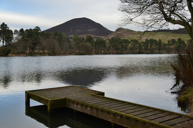
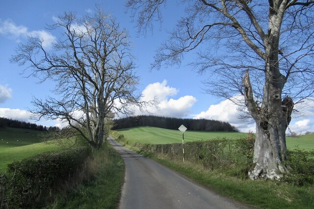
Bowden Moor is a picturesque area located in Roxburghshire, a historic county in the Scottish Borders region of Scotland. Spanning over vast stretches of downs and moorland, Bowden Moor showcases the captivating beauty of the Scottish countryside.
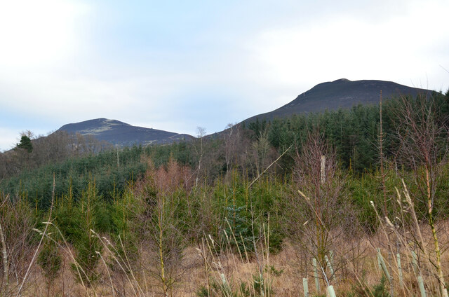
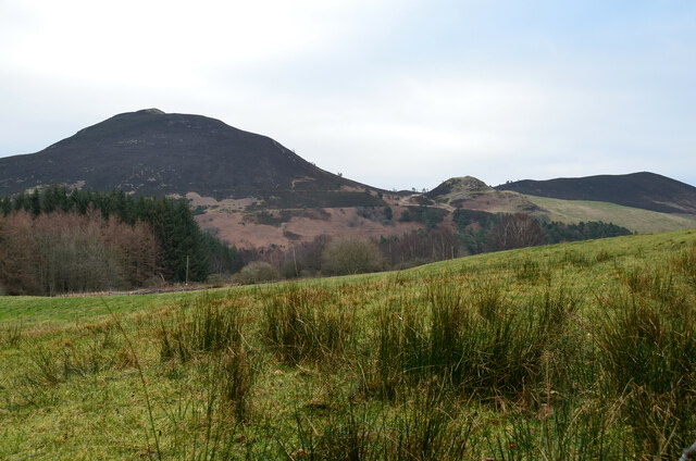
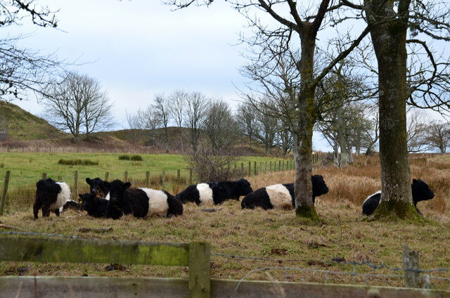
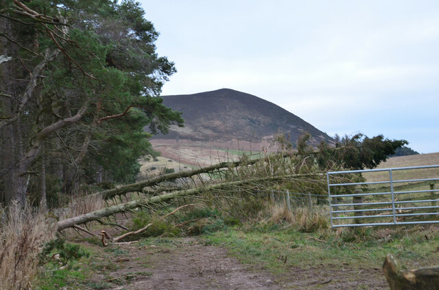
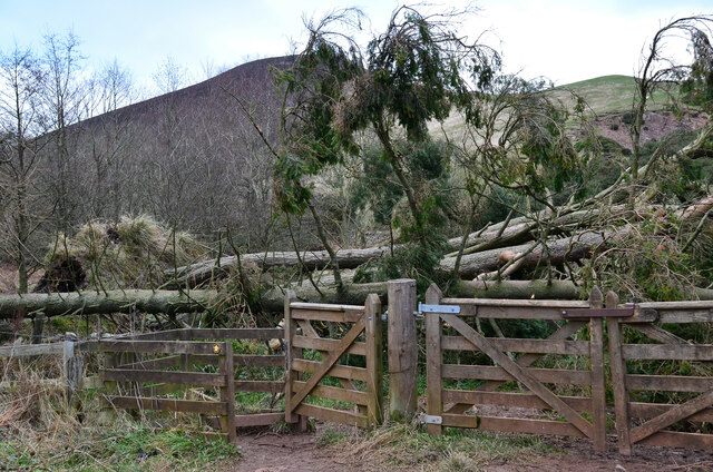
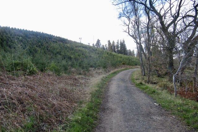
The moorland landscape of Bowden Moor is characterized by rolling hills covered in heather and grasses, creating a patchwork of colors that change with the seasons. The area is known for its rich biodiversity, with a variety of plant and animal species thriving in this unique ecosystem. Visitors to Bowden Moor can often spot native wildlife such as red grouse, curlews, and black grouse, along with occasional sightings of roe deer and mountain hares.
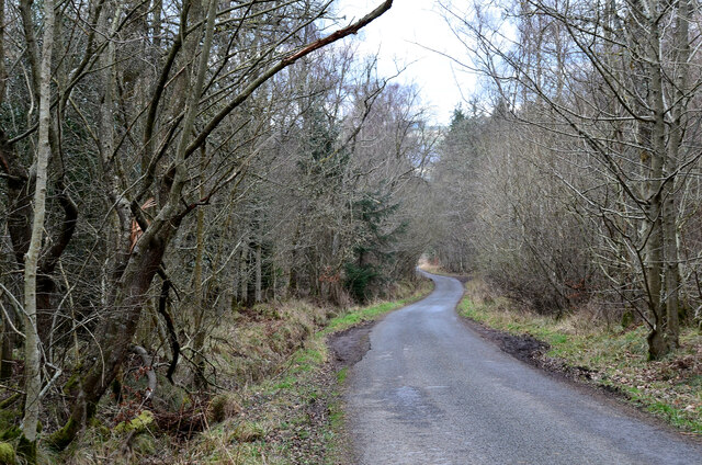
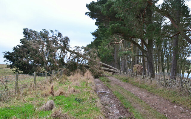
The moorland provides an excellent opportunity for outdoor enthusiasts to explore the region's natural beauty. There are several walking trails and paths that offer stunning views of the surrounding landscape. The rugged terrain also makes it an ideal location for activities like hillwalking and birdwatching.
Bowden Moor holds historical significance as well, with evidence of ancient settlements and archaeological sites dotting the landscape. These remnants from the past add an intriguing layer of history to the area, making it a fascinating destination for those interested in Scotland's heritage.
Overall, Bowden Moor in Roxburghshire is a captivating and diverse landscape, showcasing the beauty of the Scottish downs and moorland. Whether it's for a leisurely walk, wildlife spotting, or a journey into history, this area offers visitors a memorable and enriching experience.
If you have any feedback on the listing, please let us know in the comments section below.
Bowden Moor Images
Images are sourced within 2km of 55.577024/-2.7549002 or Grid Reference NT5231. Thanks to Geograph Open Source API. All images are credited.


Bowden Moor is located at Grid Ref: NT5231 (Lat: 55.577024, Lng: -2.7549002)
Unitary Authority: The Scottish Borders
Police Authority: The Lothians and Scottish Borders
What 3 Words
///melon.guidebook.intricate. Near Tweedbank, Scottish Borders
Nearby Locations
Related Wikis

Castle Holydean
Holydean Castle (pronounced "hollydeen") was a castle sited near Melrose in Bowden, 1.25 miles SW of the village, in the Scottish Borders region of Scotland...

Borders General Hospital
Borders General Hospital (BGH) is a district general hospital on the outskirts of Melrose, Scotland. It is managed by NHS Borders. == History == The hospital...
Dingleton Hospital
Dingleton Hospital was a mental health facility in Melrose, Scotland. The former boiler house is a Category B listed building. == History == The hospital...

Eildon Hill
Eildon Hill lies just south of Melrose, Scotland in the Scottish Borders, overlooking the town. The name is usually pluralised into "the Eildons" or "Eildon...

Darnick
Darnick is a village near Melrose in the Scottish Borders area of Scotland, in the former Roxburghshire. The name was first recorded in 1124, and has changed...

Melrose, Scottish Borders
Melrose (Scottish Gaelic: Maolros, "bald moor") is a town and civil parish in the Scottish Borders, historically in Roxburghshire. It lies within the Eildon...
St. Mary's School, Melrose
St. Mary's School is a private, co-educational, day and boarding prep school in Melrose, Scotland. As of 2015 there are 190 pupils; 97 boys and 93 girls...

Tweedbank
Tweedbank is a large village south-east of Galashiels in the Scottish Borders, Scotland. It is part of the county of Roxburghshire. It is an outer suburb...
Nearby Amenities
Located within 500m of 55.577024,-2.7549002Have you been to Bowden Moor?
Leave your review of Bowden Moor below (or comments, questions and feedback).