Cowran Cutting
Downs, Moorland in Cumberland Carlisle
England
Cowran Cutting
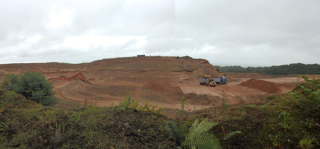
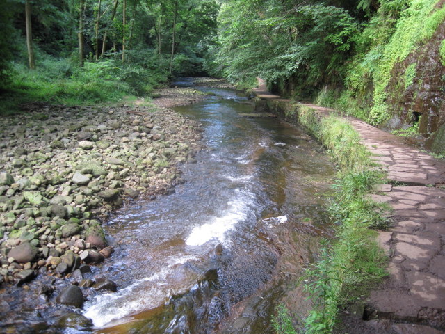
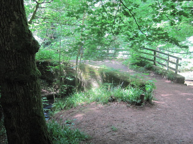
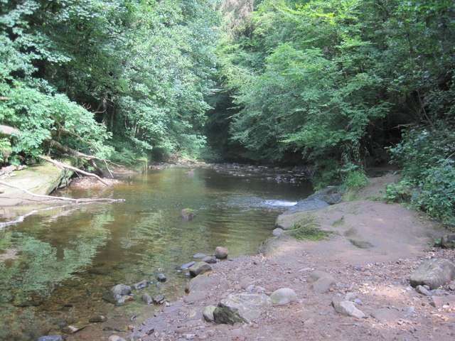
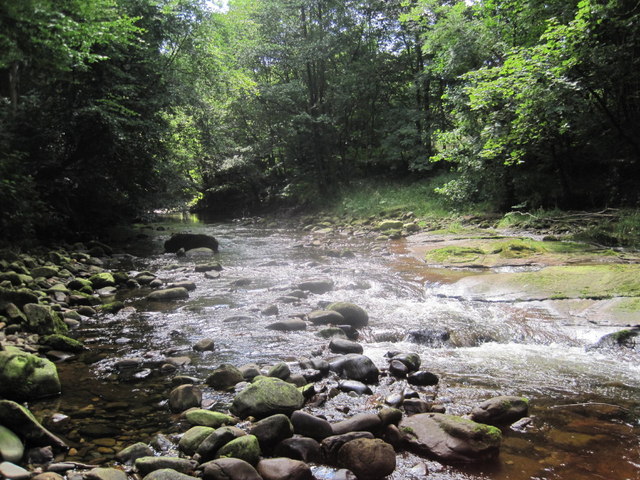
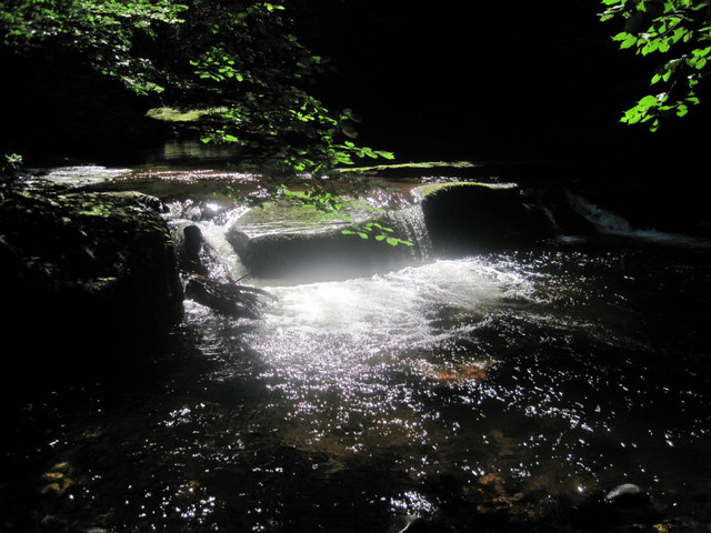
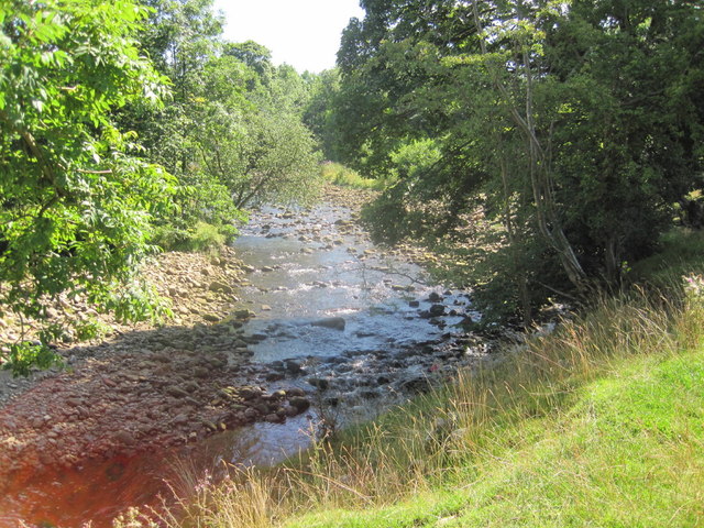
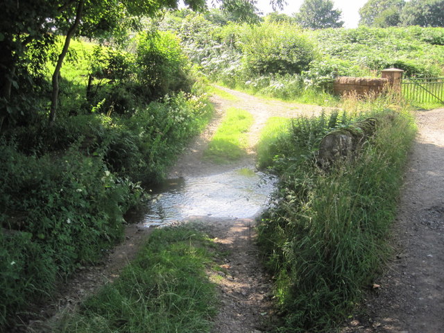
Cowran Cutting is a geological feature located in the county of Cumberland, England. Situated in the region known as the Downs, Cowran Cutting is nestled within the picturesque moorland landscape. This natural formation is characterized by a deep, narrow crevice that cuts through the rolling countryside, creating a distinct and captivating sight.
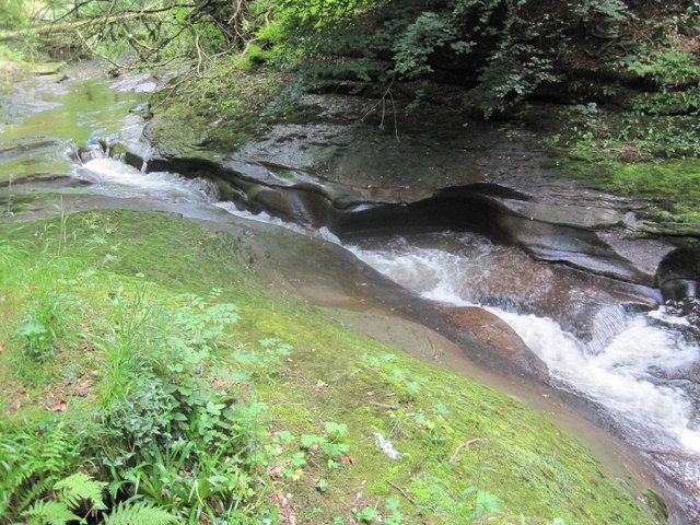
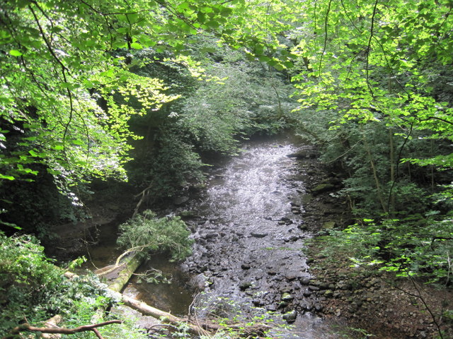
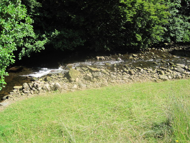
The cutting itself is thought to have been formed through the erosive forces of water over millions of years. It is believed to have been created by a combination of glacial activity and the constant flow of water from a nearby stream. The result is a striking landscape feature that showcases the power of nature.
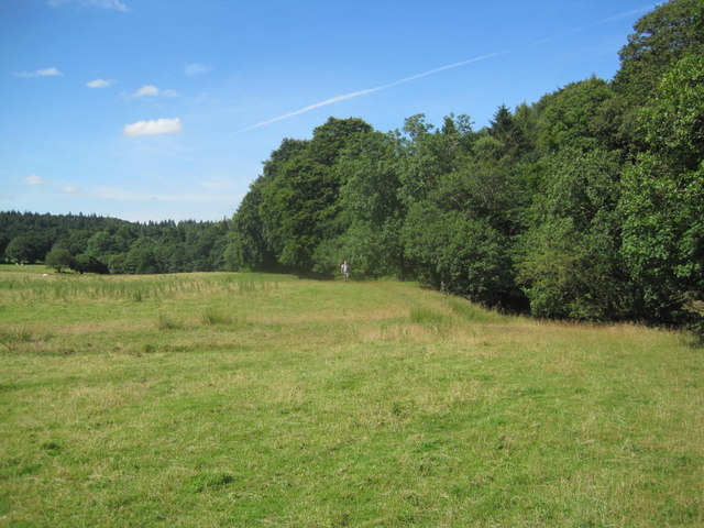
The sides of the cutting are steep and rugged, displaying layers of rock and sediment that have been exposed by erosion. The unique geological composition of the area is of great interest to geologists and nature enthusiasts alike. The rugged terrain provides a habitat for a diverse range of plant and animal species, adding to the natural beauty and appeal of the area.
Cowran Cutting is a popular destination for hikers and nature lovers who are drawn to its stunning scenery and tranquil atmosphere. The surrounding moorland offers ample opportunities for exploration and discovery, with numerous walking trails and viewpoints that provide stunning vistas of the cutting and its surroundings.
Overall, Cowran Cutting is a fascinating geological feature that showcases the power and beauty of nature. Its unique landscape, rich biodiversity, and accessibility make it a must-visit location for those seeking to immerse themselves in the natural wonders of Cumberland's Downs and Moorland region.
If you have any feedback on the listing, please let us know in the comments section below.
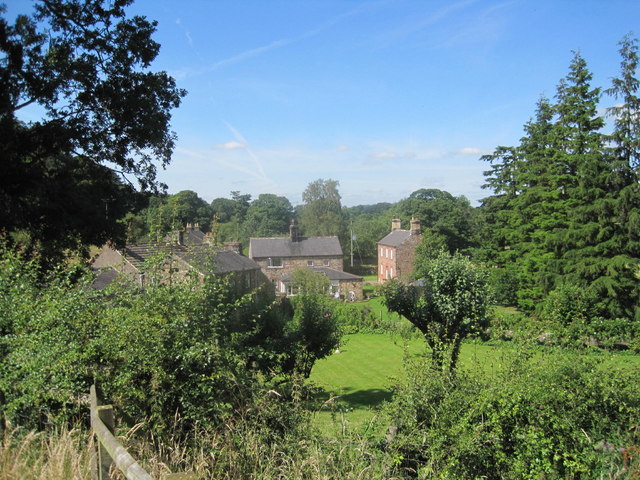
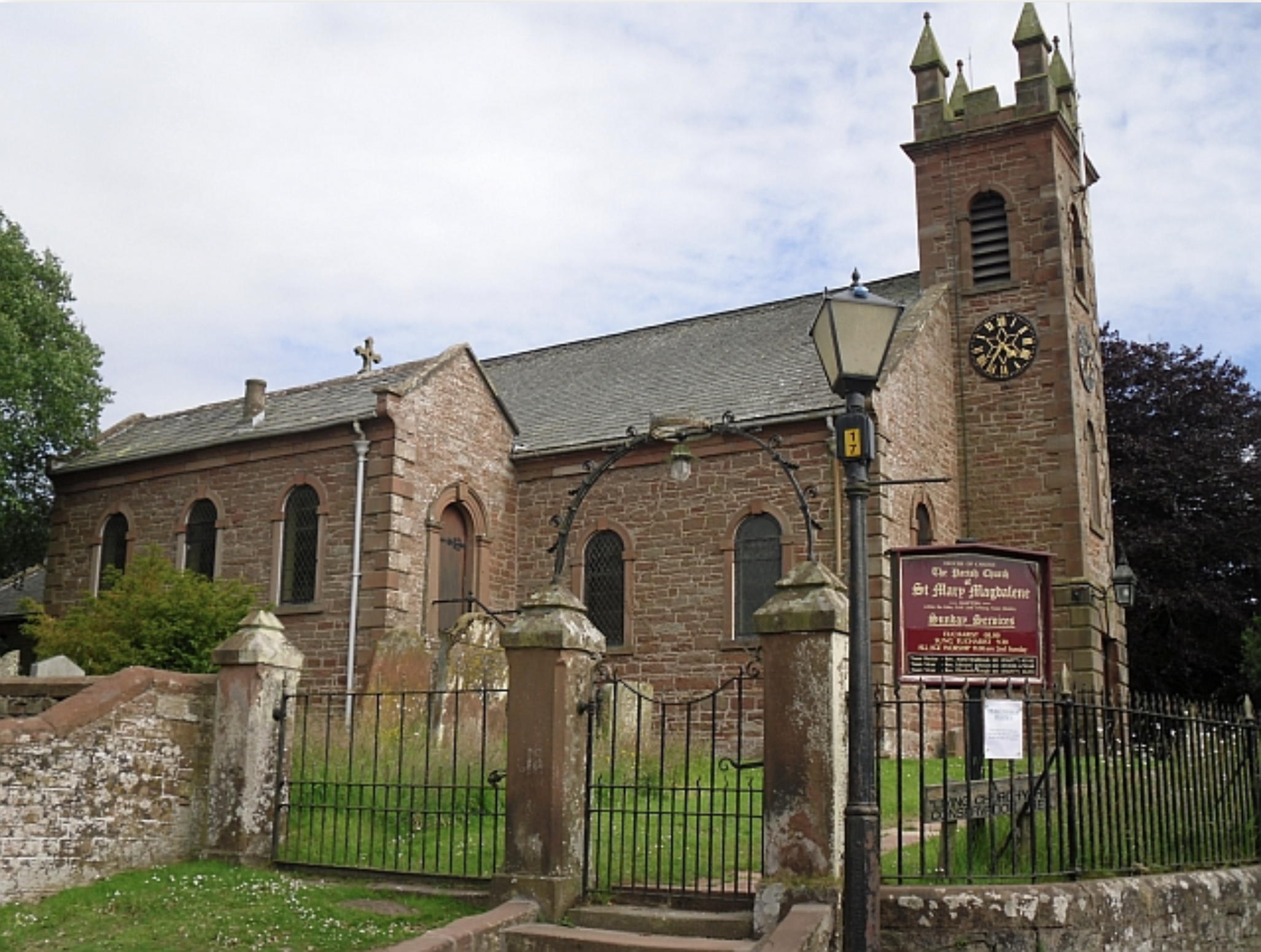
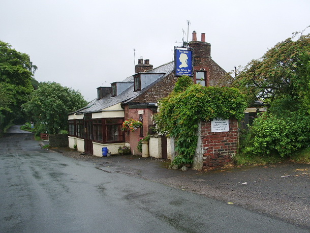
Cowran Cutting Images
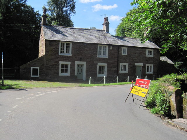
Images are sourced within 2km of 54.904944/-2.7422069 or Grid Reference NY5256. Thanks to Geograph Open Source API. All images are credited.
Cowran Cutting is located at Grid Ref: NY5256 (Lat: 54.904944, Lng: -2.7422069)
Administrative County: Cumbria
District: Carlisle
Police Authority: Cumbria
What 3 Words
///strongman.sheepish.title. Near Brampton, Cumbria
Nearby Locations
Related Wikis

Gelt Bridge
The Gelt Bridge or Gelt Viaduct (also known as Middle Gelt Bridge) is a skew arch railway viaduct in the parish of Hayton, east of Carlisle in Cumbria...

How Mill railway station
How Mill was a railway station which served the village of The How, near Brampton in Cumbria. The station was closed in 1959, four years before the Beeching...
Hayton, Carlisle
Hayton is a small village and civil parish in Cumbria, England, roughly 8 miles (13 km) east of Carlisle, and 10 miles (16 km) from the England/Scotland...
How, Cumbria
How is a hamlet in the English county of Cumbria. How is located eight miles due east of the city of Carlisle, to the south of Hayton. There are many hotels...
Nearby Amenities
Located within 500m of 54.904944,-2.7422069Have you been to Cowran Cutting?
Leave your review of Cowran Cutting below (or comments, questions and feedback).