Bowden Hill

Hill, Mountain in Roxburghshire

Scotland

Bowden Hill

Track crossing the Wood Burn Today was the last muddy day for many months.
Track crossing the Wood Burn Credit: Richard Webb

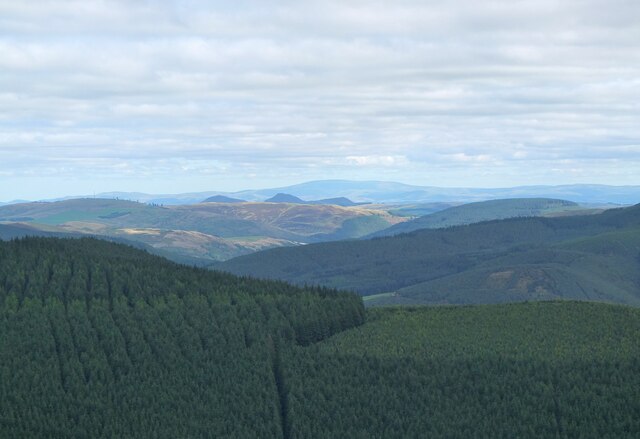
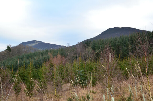
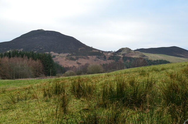
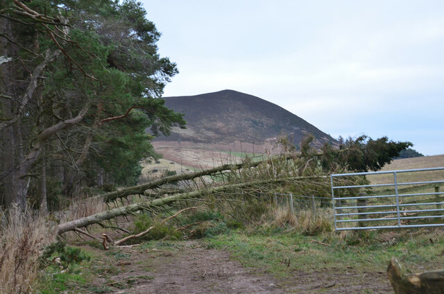
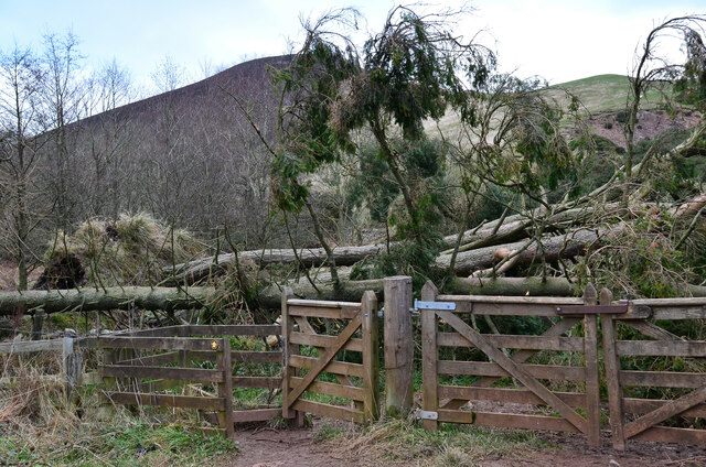
Bowden Hill is a prominent hill located in the region of Roxburghshire, Scotland. It is situated about 5 miles southeast of the town of Hawick and stands at an elevation of 279 meters (915 feet) above sea level. The hill is part of the stunning landscape of the Scottish Borders, renowned for its rolling hills and picturesque countryside.

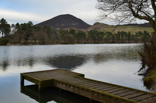
Bowden Hill offers breathtaking panoramic views of the surrounding area, including the Teviot Valley and the Cheviot Hills to the south. Its summit is crowned by a cluster of ancient archaeological sites, adding to its historical significance. These include the remains of an Iron Age hillfort, known as Burnfoot Camp, which is a Scheduled Ancient Monument.

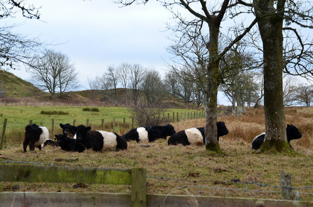
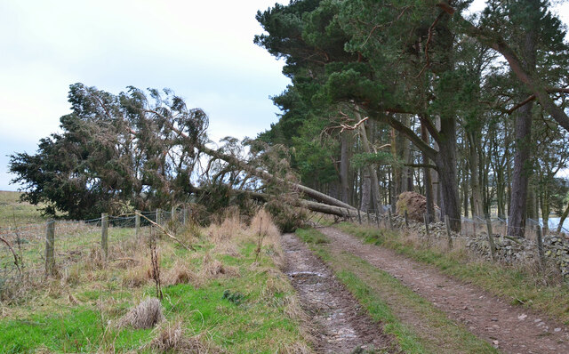
The hill is adorned with a rich variety of flora and fauna, making it an ideal spot for nature enthusiasts. It is home to a diverse range of bird species, such as buzzards, kestrels, and pheasants, which can often be seen soaring through the skies. The surrounding woodlands are filled with a plethora of wildflowers, including bluebells and primroses, creating a vibrant and colorful display during the spring months.

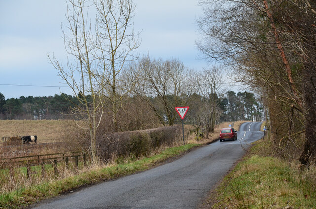
Bowden Hill is a popular destination for outdoor activities, including hiking and hillwalking. There are several trails that lead to the summit, providing opportunities for visitors to explore the area's natural beauty. The hill's close proximity to Hawick also makes it easily accessible for locals and tourists alike, who can enjoy a peaceful retreat in the heart of the Scottish countryside.

If you have any feedback on the listing, please let us know in the comments section below.
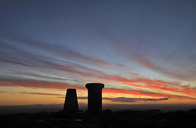
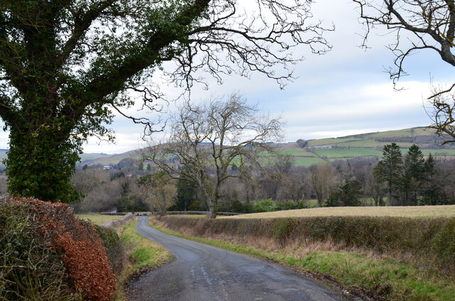
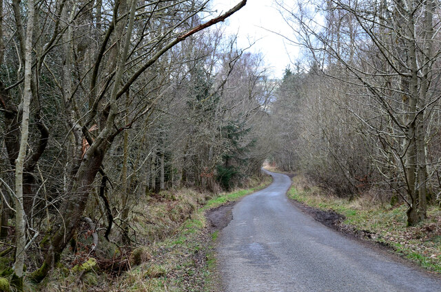
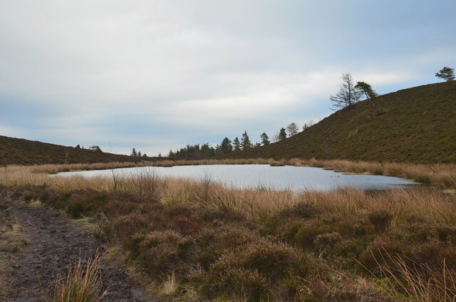
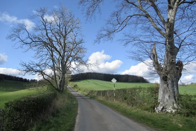
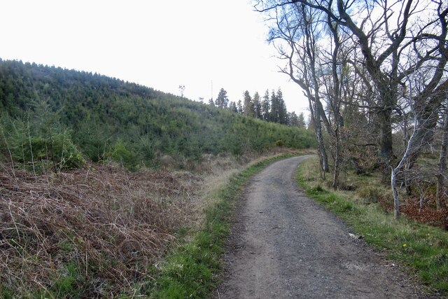
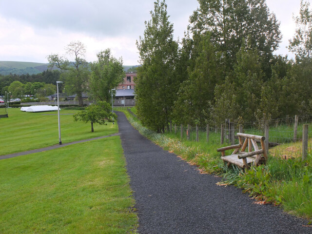
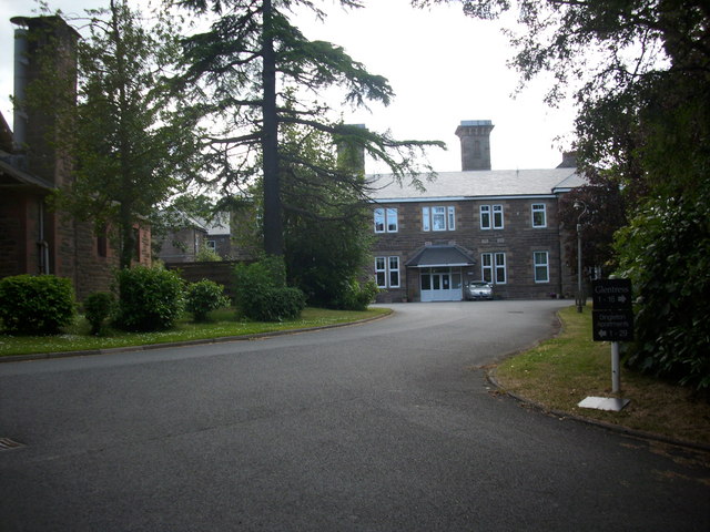
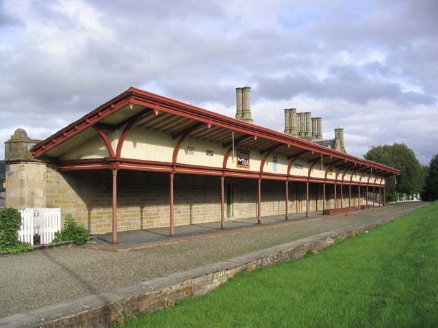
Bowden Hill Images

Images are sourced within 2km of 55.577907/-2.7486994 or Grid Reference NT5231. Thanks to Geograph Open Source API. All images are credited.

Track crossing the Wood Burn Today was the last muddy day for many months.
Track crossing the Wood Burn
Today was the last muddy day for many months.
The Eildon Hills from Lee Pen The triple summits above Melrose with The Cheviot in the distance, about 60km away.
The Eildon Hills from Lee Pen
The triple summits above Melrose with The Cheviot in the distance, about 60km away.
Dawn at the summit of Eildon Mid Hill The trig point and toposcope are silhouetted against a colourful sky about 15 minutes before sunrise.
Dawn at the summit of Eildon Mid Hill
The trig point and toposcope are silhouetted against a colourful sky about 15 minutes before sunrise.
Minor road near Dingleton A single-track road through farmland and plantations west of Dingleton.
Minor road near Dingleton
A single-track road through farmland and plantations west of Dingleton.
Minor road through plantations, Dingleton A single-track road west of Dingleton.
Minor road through plantations, Dingleton
A single-track road west of Dingleton.
Eildon Hills from plantations near Dingleton Eildon Hill North (L) and Eildon Mid Hill seen from a minor road west of Dingleton.
Eildon Hills from plantations near Dingleton
Eildon Hill North (L) and Eildon Mid Hill seen from a minor road west of Dingleton.
Eildon Hills from the west Eildon Mid Hill (L), Little Hill (centre) and Wester Hill (R) seen from the single-track road west of Dingleton.
Eildon Hills from the west
Eildon Mid Hill (L), Little Hill (centre) and Wester Hill (R) seen from the single-track road west of Dingleton.
Road junction near Bowdenmoor Reservoir The single-track road meets the B6359 road from Dingleton.
Road junction near Bowdenmoor Reservoir
The single-track road meets the B6359 road from Dingleton.
Belted Galloway cattle, Bowdenmoor Distinctive black and white cattle by the B6359.
Belted Galloway cattle, Bowdenmoor
Distinctive black and white cattle by the B6359.
Bowden Loch This former reservoir is a fishery and it had attracted a number of anglers and walkers on this Sunday afternoon. Eildon Mid Hill dominates the skyline with Little Hill to the right.
Bowden Loch
This former reservoir is a fishery and it had attracted a number of anglers and walkers on this Sunday afternoon. Eildon Mid Hill dominates the skyline with Little Hill to the right.
Fallen trees at Bowden Loch Two Scots pines across the track, aftermath of Storm Arwen's northerly gales in November last year.
Fallen trees at Bowden Loch
Two Scots pines across the track, aftermath of Storm Arwen's northerly gales in November last year.
More fallen trees at Bowden Loch Two more Scots pines near the loch shore, brought down in Storm Arwen in November last year.
More fallen trees at Bowden Loch
Two more Scots pines near the loch shore, brought down in Storm Arwen in November last year.
Fallen trees at east end of Bowden Loch More Scots pines brought down here in Storm Arwen last November. Fortunately there was enough room to squeeze past to the right to gain the open hillside.
Fallen trees at east end of Bowden Loch
More Scots pines brought down here in Storm Arwen last November. Fortunately there was enough room to squeeze past to the right to gain the open hillside.
Lochan below Eildon Mid Hill A lochan on the col between Mid Hill and Wester Hill, not shown on the 1:25,000 map. The path skirts its northern edge.
Lochan below Eildon Mid Hill
A lochan on the col between Mid Hill and Wester Hill, not shown on the 1:25,000 map. The path skirts its northern edge.
Road to Cauldshiels Loch
Road, Cauldshiels Towards the loch past young trees.
Road, Cauldshiels
Towards the loch past young trees.
Path by Melrose cricket ground The cricket ground is next to the Borders General Hospital.
Path by Melrose cricket ground
The cricket ground is next to the Borders General Hospital.
Faughhill Farm sign
Faughhill Farm sign
Show me another place!

Bowden Hill is located at Grid Ref: NT5231 (Lat: 55.577907, Lng: -2.7486994)

Unitary Authority: The Scottish Borders

Police Authority: The Lothians and Scottish Borders

What 3 Words

///months.eats.searched. Near Melrose, Scottish Borders

Nearby Locations

Bowden Moor Bowden Hill

Related Wikis

Nearby Amenities

Located within 500m of 55.577907,-2.7486994
Natural: peak
Lat/Long: 55.5787223/-2.7491956
Power: tower
Lat/Long: 55.5806413/-2.7429396
Power: tower
Lat/Long: 55.5789192/-2.7417188
Power: pole
Lat/Long: 55.5797722/-2.7415336
Power: pole
Lat/Long: 55.5804786/-2.7421974
The data included in this document is from www.openstreetmap.org. The data is made available under ODbL.

Have you been to Bowden Hill?

Leave your review of Bowden Hill below (or comments, questions and feedback).