Burton Moss
Downs, Moorland in Westmorland South Lakeland
England
Burton Moss
Burton Moss, located in Westmorland, is a picturesque area encompassing both downs and moorland landscapes. Situated in the county of Cumbria, England, it is renowned for its stunning natural beauty and diverse ecological features. The moss is spread over a considerable area, offering visitors an opportunity to explore and immerse themselves in its enchanting surroundings.
The downs of Burton Moss are characterized by gently rolling hills covered in lush green grasses, providing a tranquil and serene atmosphere. The undulating terrain offers panoramic views of the surrounding countryside and is a haven for hikers, walkers, and nature enthusiasts. The open expanses of the downs are also home to a variety of wildlife, including rabbits, hares, and various bird species.
In contrast, the moorland areas of Burton Moss showcase a more rugged and wild landscape. Here, visitors can witness heather-covered hillsides, interspersed with rocky outcrops and peat bogs. The moorlands are a unique habitat, supporting a range of plant species, such as cotton grass and bilberry, as well as numerous bird species, including skylarks and curlews.
The moss is not only a haven for nature lovers but also serves as an important water catchment area, contributing to the overall ecological balance of the region. Its role in maintaining the local ecosystem and providing a habitat for a diverse range of flora and fauna cannot be understated.
Overall, Burton Moss in Westmorland is a captivating destination for those seeking to immerse themselves in the beauty of the English countryside. With its downs and moorlands, it offers a unique blend of landscapes, making it a must-visit location for nature enthusiasts and outdoor adventurers alike.
If you have any feedback on the listing, please let us know in the comments section below.
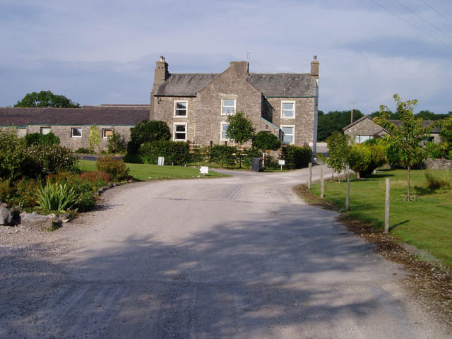
Burton Moss Images
Images are sourced within 2km of 54.187811/-2.742324 or Grid Reference SD5177. Thanks to Geograph Open Source API. All images are credited.


Burton Moss is located at Grid Ref: SD5177 (Lat: 54.187811, Lng: -2.742324)
Administrative County: Cumbria
District: South Lakeland
Police Authority: Cumbria
What 3 Words
///trample.mailboxes.lectures. Near Warton, Lancashire
Nearby Locations
Related Wikis
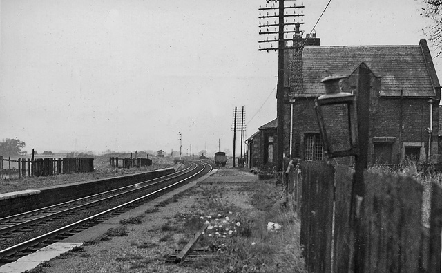
Burton and Holme railway station
Burton and Holme railway station served the village of Burton-in-Kendal, Westmorland, England, from 1846 to 1966 on the Lancaster and Carlisle Railway...

Lakeland Wildlife Oasis
The Lakeland Wildlife Oasis is a small zoological collection near the town of Milnthorpe, Cumbria, England, with a science and evolution theme. Since April...

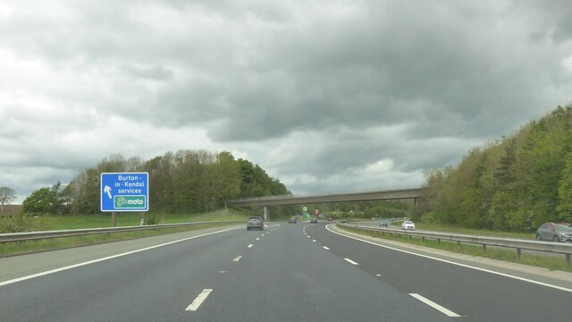
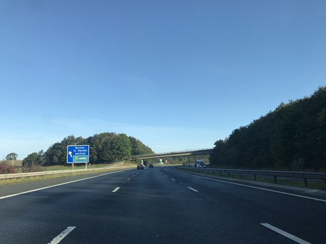
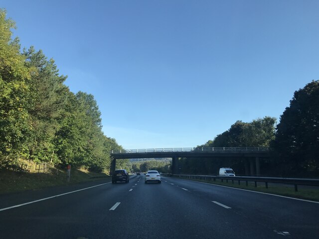
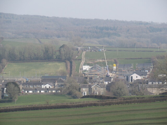
Burton-in-Kendal Services
Burton-in-Kendal services is a motorway service station on the M6 motorway in Cumbria, England, adjacent to the border with Lancashire. It is located about...
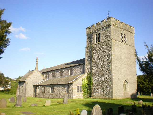
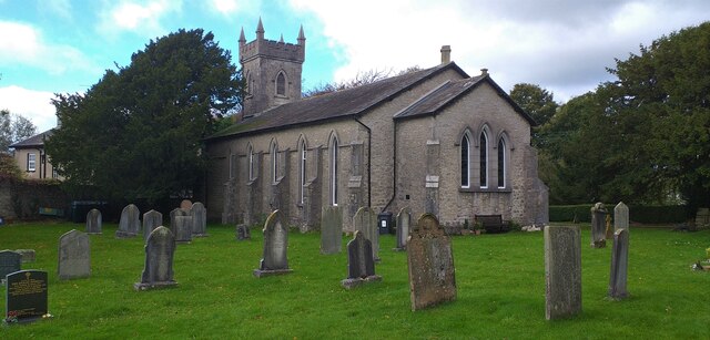
St James' Church, Burton-in-Kendal
St James' Church is in the village of Burton-in-Kendal, Cumbria, England. It is an active Anglican parish church in the deanery of Kendal, the archdeaconry...

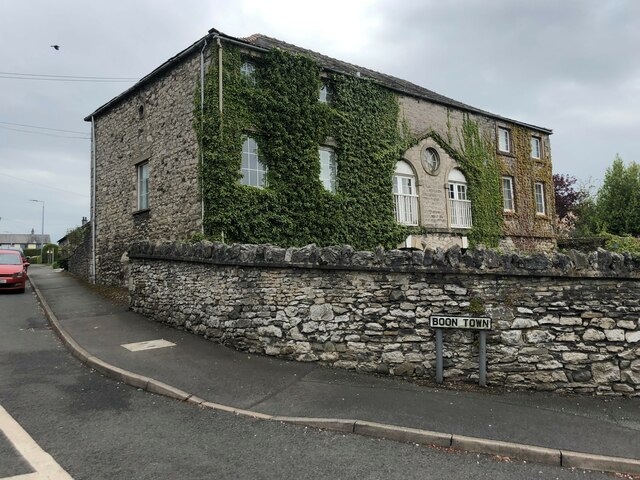
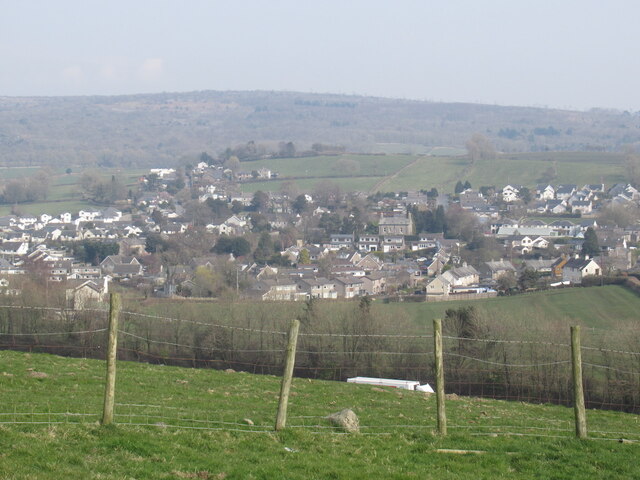
Burton-in-Kendal
Burton-in-Kendal is a village and civil parish on the extreme southern edge of Cumbria, England. The parish contains around 660 houses and in the 2001...
Clawthorpe
Clawthorpe is a hamlet in the South Lakeland district, in the county of Cumbria, England. It is near the village of Burton-in-Kendal and the town of Kendal...

Hale, Cumbria
Hale is a hamlet near Beetham in the south of Cumbria, England. It lies on the A6 road, between Carnforth to the south and Milnthorpe to the north. It...

Holme, Cumbria
Holme is a village and civil parish in the South Lakeland district of Cumbria, England, about 2 miles (3.2 km) north of Burton-in-Kendal and 3 miles (4...
Nearby Amenities
Located within 500m of 54.187811,-2.742324Have you been to Burton Moss?
Leave your review of Burton Moss below (or comments, questions and feedback).