Brimfield Common
Downs, Moorland in Herefordshire
England
Brimfield Common
Brimfield Common, located in Herefordshire, England, is a picturesque area characterized by its rolling downs and expansive moorland. Covering an approximate area of [X] square miles, the common is a haven for nature enthusiasts and those seeking tranquility amidst the stunning countryside.
The downs of Brimfield Common are renowned for their gently sloping hills, covered in lush green grasses and scattered with wildflowers during the summer months. The uninterrupted views from the downs provide visitors with a breathtaking panorama of the surrounding landscape, including the nearby Malvern Hills and the picturesque Herefordshire countryside.
In contrast, the moorland of Brimfield Common offers a rugged and wild experience. Blanketed in heather, gorse, and bracken, the moors are home to a diverse range of wildlife, including various bird species, small mammals, and reptiles. Exploring the moorland allows visitors to immerse themselves in the untamed beauty of the area.
The common is crisscrossed by a network of footpaths and trails, offering ample opportunities for walking, hiking, and horse riding. These paths meander through the downs and moorland, allowing visitors to explore the area at their own pace and discover hidden gems along the way.
Brimfield Common also hosts a number of events throughout the year, including guided nature walks, birdwatching tours, and educational programs for both children and adults. These activities provide an insight into the unique flora and fauna found in the area, enriching the visitor's experience.
Overall, Brimfield Common in Herefordshire is a captivating destination that showcases the natural beauty of the English countryside. With its rolling downs, rugged moorland, and diverse wildlife, it offers visitors a chance to connect with nature and enjoy the tranquility of this idyllic location.
If you have any feedback on the listing, please let us know in the comments section below.
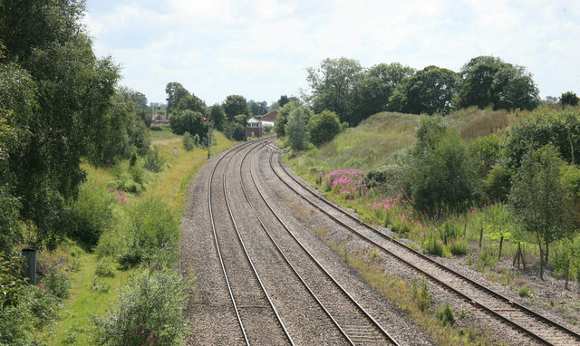
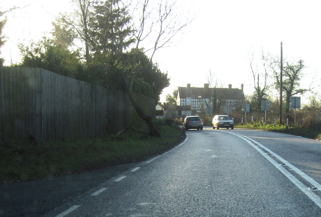
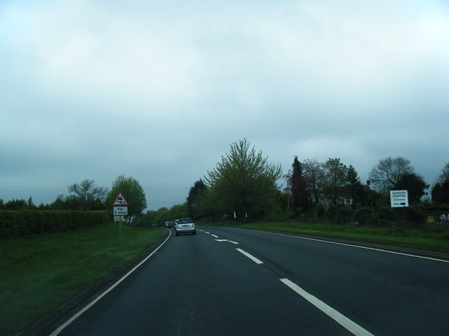
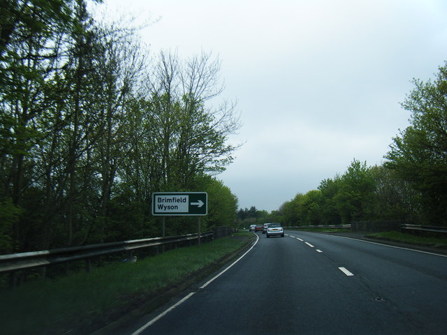
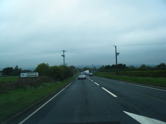
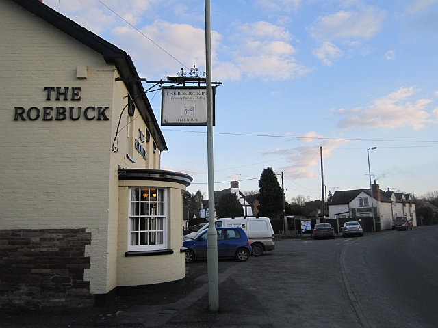
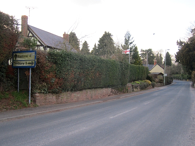
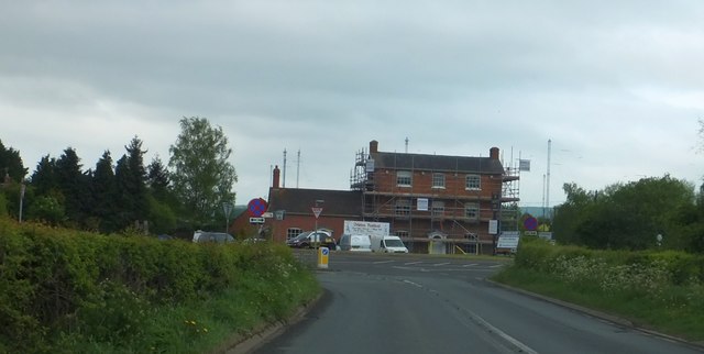
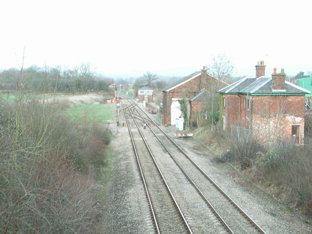
Brimfield Common Images
Images are sourced within 2km of 52.298341/-2.7097307 or Grid Reference SO5166. Thanks to Geograph Open Source API. All images are credited.


Brimfield Common is located at Grid Ref: SO5166 (Lat: 52.298341, Lng: -2.7097307)
Unitary Authority: County of Herefordshire
Police Authority: West Mercia
What 3 Words
///importers.uniforms.asleep. Near Orleton, Herefordshire
Nearby Locations
Related Wikis

Wyson
Wyson is a hamlet in north Herefordshire, England, situated west of the A49 road and the adjacent village of Brimfield. It lies in the civil parish of...

Brimfield, Herefordshire
Brimfield is a village and civil parish in north Herefordshire, England. The village lies on the A49 road at the border with Shropshire. To the south,...
Woofferton railway station
Woofferton railway station was a station and railway junction near Woofferton, Shropshire, England, where the Tenbury Railway joined the Shrewsbury and...

Woofferton
Woofferton is a village to the south of Ludlow, in Shropshire, England. It is one of Shropshire's most southerly villages and lies on the border with Herefordshire...
Nearby Amenities
Located within 500m of 52.298341,-2.7097307Have you been to Brimfield Common?
Leave your review of Brimfield Common below (or comments, questions and feedback).