Henry's Wood
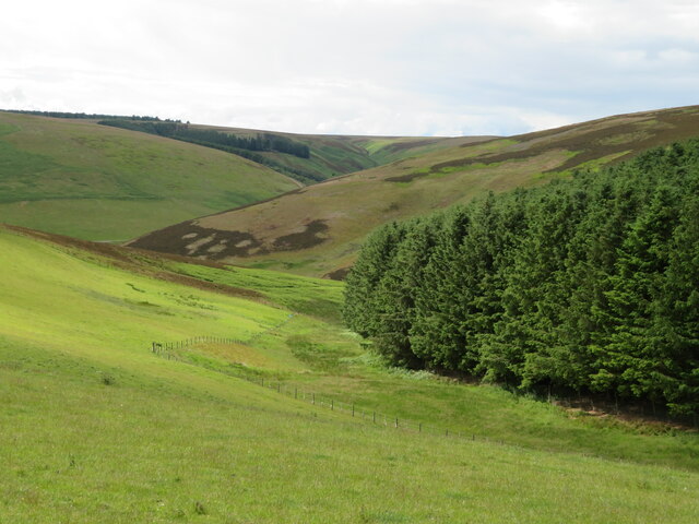
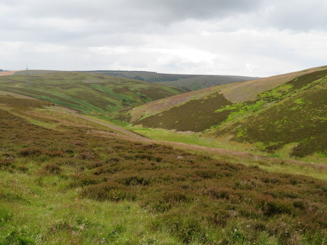
Downs, Moorland in Berwickshire
Scotland
Henry's Wood
The requested URL returned error: 429 Too Many Requests
If you have any feedback on the listing, please let us know in the comments section below.
Henry's Wood Images
Images are sourced within 2km of 55.823692/-2.789136 or Grid Reference NT5059. Thanks to Geograph Open Source API. All images are credited.
![Hog Sike, Kelphope Forming a gully between Hog Hill and Tollis Hill; for a view of the sike from above see <a href="https://www.geograph.org.uk/photo/7212842">NT5158 : Hog Sike, Kelphope</a>. The trees across the Kelphope Burn are the northernmost of a row of eighteen trees [plus three gaps] that follow the burn in a straight line southwest for 380 m.](https://s2.geograph.org.uk/geophotos/07/21/27/7212742_e081fea7.jpg)
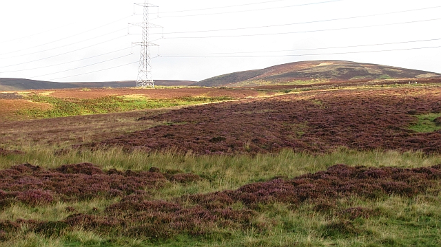
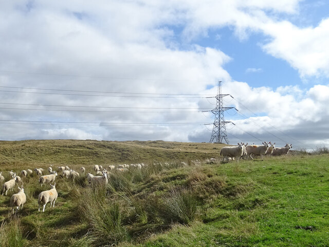
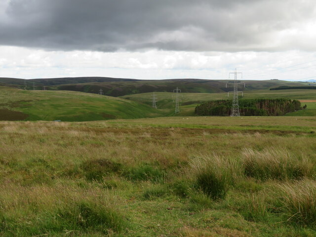
![Pylon on Windy Law Part of a long-distance cross-country line from Torness Power Station [on the East Coast <a href="https://www.geograph.org.uk/photo/3446167">NT7475 : Torness Power Station</a>, <a href="https://www.geograph.org.uk/photo/1338166">NT7373 : Emergence of one of the Torness powerlines</a>, to the left] to the west [Edinburgh and East Lothian, to the right].](https://s2.geograph.org.uk/geophotos/07/21/28/7212810_767b62b7.jpg)
Henry's Wood is located at Grid Ref: NT5059 (Lat: 55.823692, Lng: -2.789136)
Unitary Authority: The Scottish Borders
Police Authority: The Lothians and Scottish Borders
What 3 Words
///lifters.questions.approvals. Near Pencaitland, East Lothian
Nearby Locations
Related Wikis

Lammermuir Hills
The Lammermuirs are a range of hills in southern Scotland, forming a natural boundary between East Lothian and the Borders. The name "Lammermuir" comes...

Carfrae Bastle
Carfrae Bastle is a small ruined tower house about 5 miles (8.0 km) north of Lauder, Scottish Borders, Scotland, near Hillhouse == History == Carfrae Bastle...

Hopes Reservoir
Hopes Reservoir is a small reservoir in East Lothian, Scotland, in the Lammermuir Hills. It is located in the parish of Yester, 6 km (3.7 mi) south of...

Channelkirk
Channelkirk is a parish and community council area in the north-west corner of the historic county of Berwickshire in the Scottish Borders area of Scotland...
Nearby Amenities
Located within 500m of 55.823692,-2.789136Have you been to Henry's Wood?
Leave your review of Henry's Wood below (or comments, questions and feedback).