Peaked Land
Downs, Moorland in Monmouthshire
Wales
Peaked Land

The requested URL returned error: 429 Too Many Requests
If you have any feedback on the listing, please let us know in the comments section below.
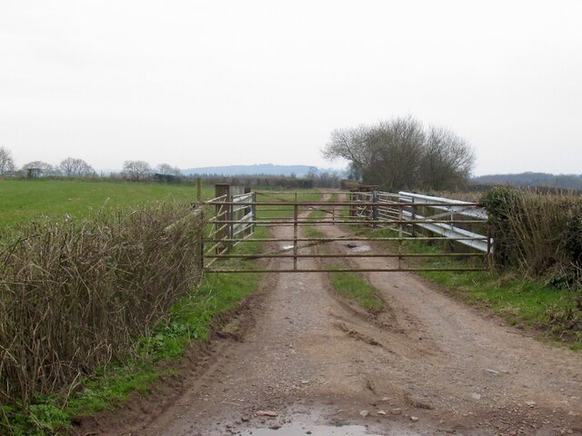
Peaked Land Images
Images are sourced within 2km of 51.751569/-2.7162775 or Grid Reference SO5006. Thanks to Geograph Open Source API. All images are credited.


Peaked Land is located at Grid Ref: SO5006 (Lat: 51.751569, Lng: -2.7162775)
Unitary Authority: Monmouthshire
Police Authority: Gwent
What 3 Words
///satin.tones.upsetting. Near Mitchel Troy, Monmouthshire
Nearby Locations
Related Wikis
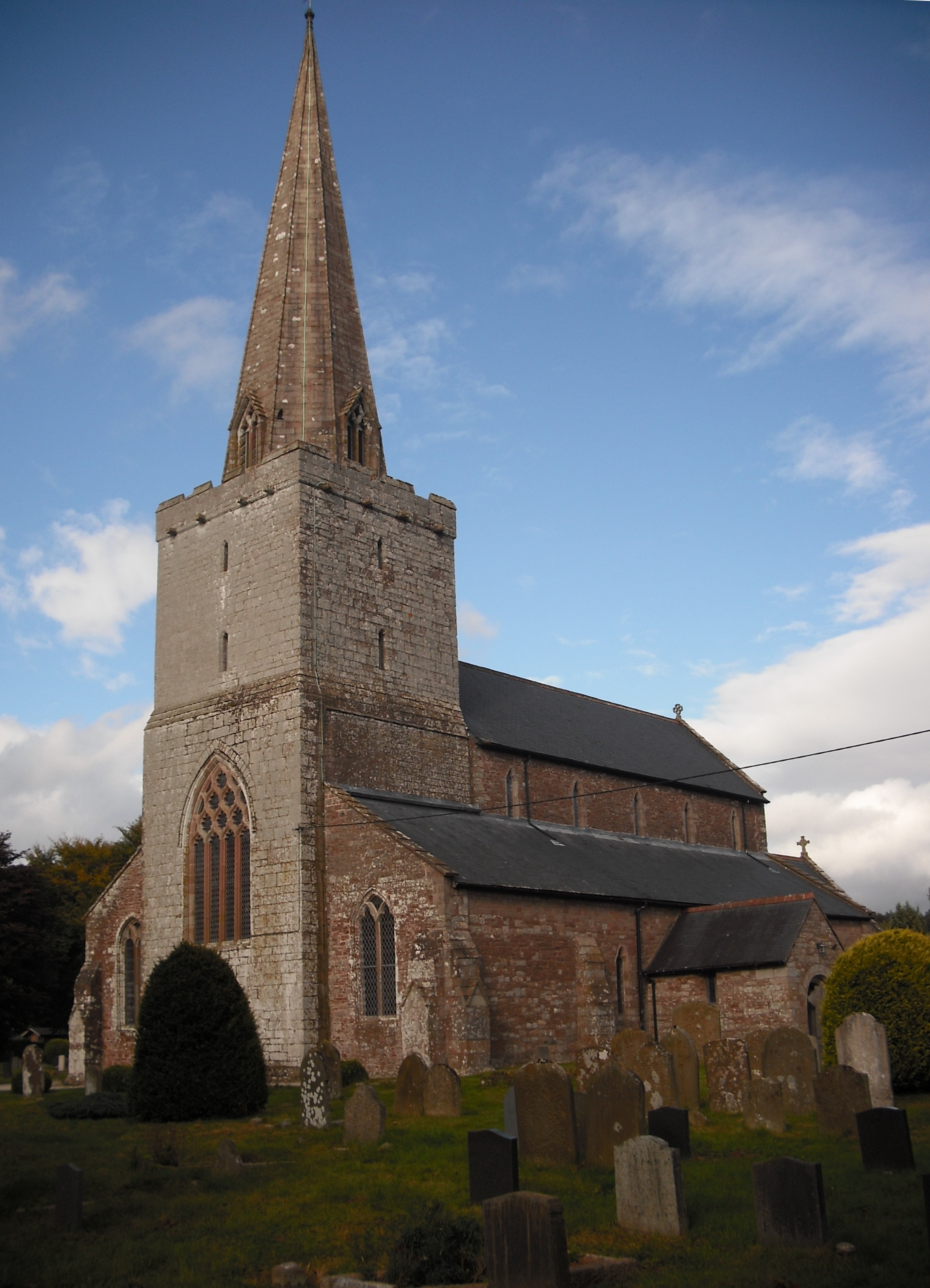
Church of St Nicholas, Trellech
The Church of St Nicholas, Trellech, Monmouthshire is a parish church with its origins in the 14th century. The historical and architectural evidence suggests...
Beacon Hill, Monmouthshire
Beacon Hill is the highest hill in eastern Monmouthshire, South Wales. It is located 0.6 miles (0.97 km) due east of the village of Trellech, and 1 mile...

Trellech
Trellech (occasionally spelt Trelech, Treleck or Trelleck; Welsh: Tryleg) is a village and parish in Monmouthshire, south-east Wales. Located 5 miles...

Maryland, Monmouthshire
Maryland is a small village in Monmouthshire, south east Wales, United Kingdom. == Location == Maryland is located six miles south east of Monmouth....
Related Videos
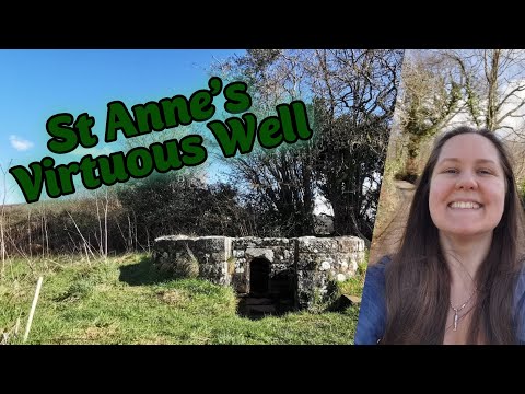
Visiting a Wishing Well for good fortune - St Anne's Virtuous Well Trellech
A little trip on the Wye Valley Walk through Cleddon, Cleddon Shoots, Cleddon Hall to Trellech and the St Anne's Wishing Well.

Taking a pew in Trelleck
Back in the glorious Monmouthshire countryside, Charlotte and I headed to Trelleck, for a walk with lots of history and interesting ...


Ninewells Wood Walkabout
Making the most of life whilst in Tier 2.
Nearby Amenities
Located within 500m of 51.751569,-2.7162775Have you been to Peaked Land?
Leave your review of Peaked Land below (or comments, questions and feedback).