Allen Grove
Downs, Moorland in Cumberland Carlisle
England
Allen Grove
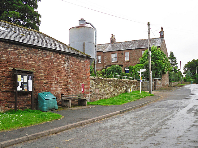
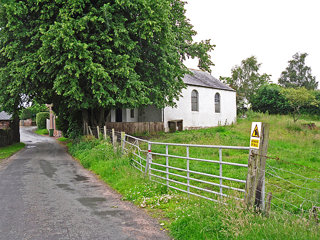
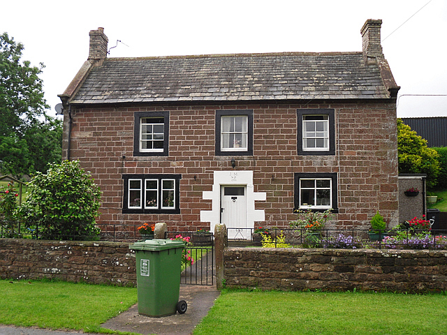
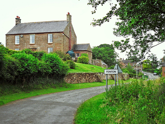
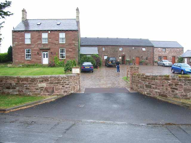
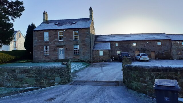
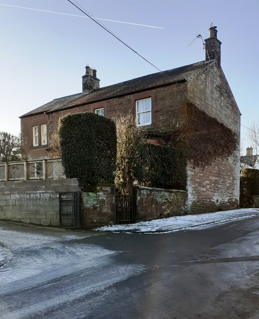
Allen Grove, located in Cumberland County, is a charming residential neighborhood in the Downs area of Moorland. This community is known for its peaceful atmosphere, beautiful landscapes, and close-knit community spirit.
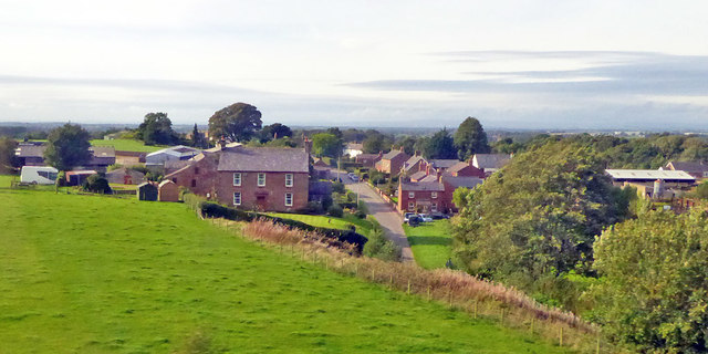
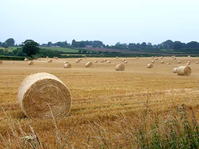
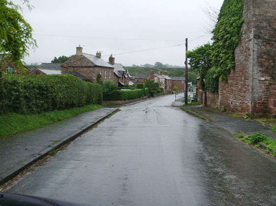
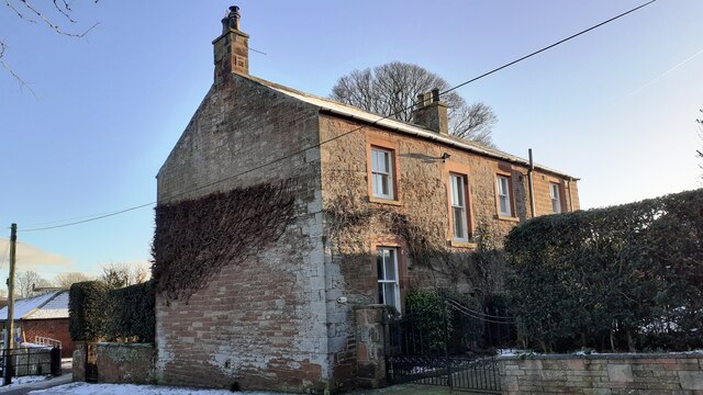
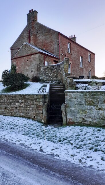
The neighborhood is nestled amidst rolling hills and lush greenery, providing residents with stunning views and a serene environment. Tall trees line the streets, adding to the overall picturesque setting of Allen Grove. The area boasts well-maintained lawns and gardens, creating an inviting and pleasant ambiance.
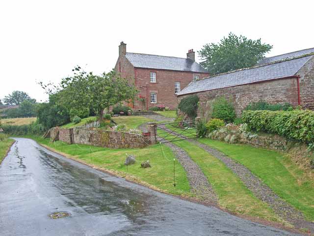
Homes in Allen Grove vary in architectural style, including traditional single-family houses, charming cottages, and modern townhouses. Many properties feature spacious yards, perfect for outdoor activities or gardening. The neighborhood's well-designed streets and sidewalks promote walkability and encourage residents to explore their surroundings.
Allen Grove benefits from its proximity to various amenities and recreational opportunities. Several parks and nature reserves are scattered nearby, offering residents opportunities for outdoor activities such as hiking, biking, and picnicking. The neighborhood is also within easy reach of shopping centers, restaurants, and entertainment venues, providing convenience to its residents.
The community of Allen Grove takes pride in its strong sense of community. Regular neighborhood events and gatherings foster a friendly and welcoming atmosphere, making it easy for residents to connect with one another. Additionally, the area is served by reputable schools, ensuring quality education for families with children.
Overall, Allen Grove in Cumberland County is a peaceful and picturesque neighborhood, offering a high quality of life and a strong sense of community.
If you have any feedback on the listing, please let us know in the comments section below.
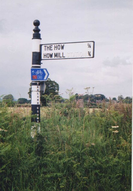
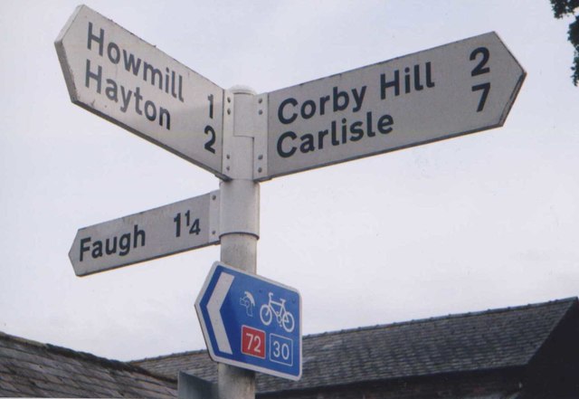
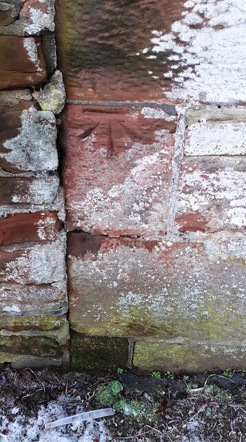
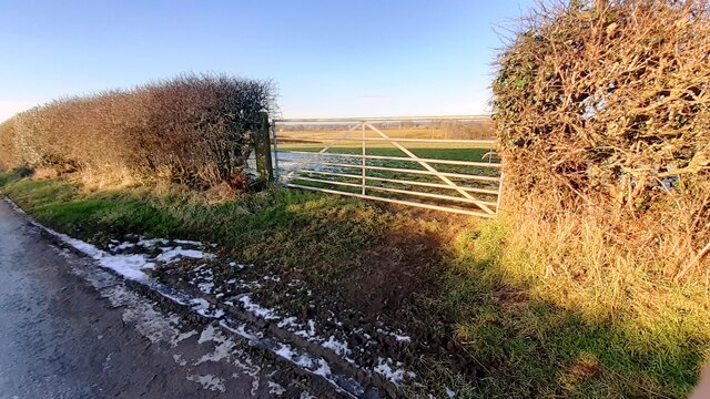
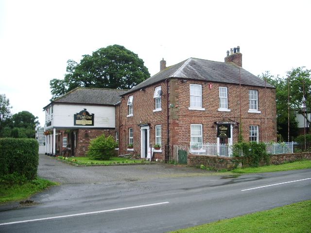
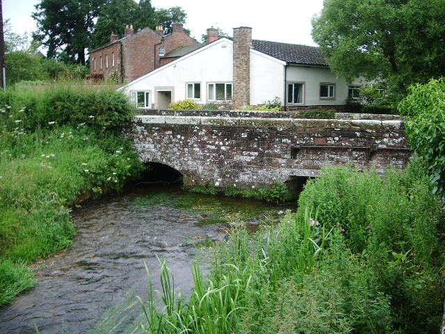
Allen Grove Images
Images are sourced within 2km of 54.90055/-2.8055942 or Grid Reference NY4856. Thanks to Geograph Open Source API. All images are credited.
Allen Grove is located at Grid Ref: NY4856 (Lat: 54.90055, Lng: -2.8055942)
Administrative County: Cumbria
District: Carlisle
Police Authority: Cumbria
What 3 Words
///pylon.narrowest.wasps. Near Wetheral, Cumbria
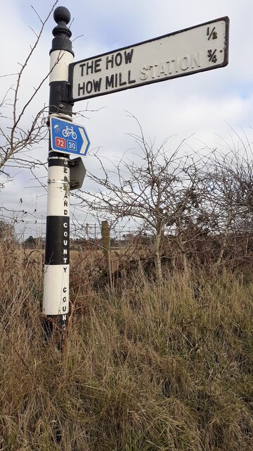
Nearby Locations
Related Wikis
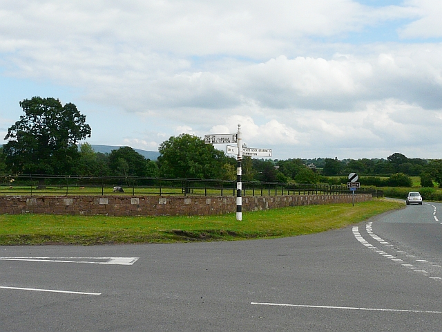
Corby Hill
Corby Hill is a village in Cumbria, England. It is located 5.4 miles (8.7 km) by road east of the city centre of Carlisle. The Trout Beck stream passes...
Warwick Bridge
Warwick Bridge is a village in the Cumberland area of the county of Cumbria, England. It forms part of a small urban area which includes the villages of...
Allenwood, Cumbria
Allenwood is a hamlet in the City of Carlisle district, in the county of Cumbria, England. == Nearby settlements == Nearby settlements include the villages...
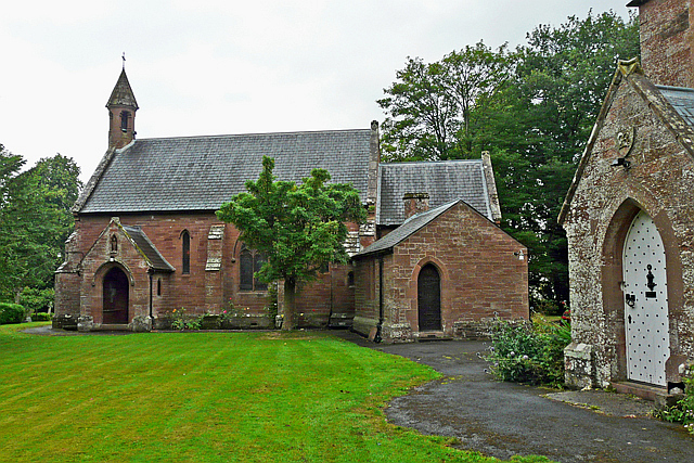
Our Lady and St Wilfrid's Church, Warwick Bridge
Our Lady and St Wilfrid's Church is a Roman Catholic church designed by Augustus Welby Northmore Pugin, completed in 1841. The church was designed for...

Little Corby
Little Corby is a village in the county of Cumbria in the north of England. It is east of the city of Carlisle, alongside the River Eden and near to the...

Burnrigg
Burnrigg is a hamlet in Cumbria, England. It is located to the east of Carlisle. In 1887, The British Architect said "on a site particularly high and open...
Broadwath
Broadwath is a hamlet in the City of Carlisle district, in the English county of Cumbria. Broadwath is on Cairn Beck. Nearby settlements include the villages...

Holme Eden Abbey
Holme Eden Abbey was an abbey in Cumbria, England. The current building (built 1833–37) is a Grade II* listed building. == History == It was designed in...
Nearby Amenities
Located within 500m of 54.90055,-2.8055942Have you been to Allen Grove?
Leave your review of Allen Grove below (or comments, questions and feedback).