East Moor
Downs, Moorland in Somerset South Somerset
England
East Moor
East Moor is a picturesque region located in Somerset, England. Situated amidst the stunning Somerset Downs and Moorland, this area is known for its breathtaking natural beauty and diverse landscapes. The region covers a vast expanse of land, offering visitors an array of scenic vistas to explore.
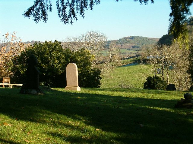
The Somerset Downs in East Moor are characterized by rolling hills and lush green fields, creating a serene and idyllic countryside setting. These downs provide a perfect backdrop for leisurely walks and hikes, allowing visitors to immerse themselves in the tranquility of nature. The area is also home to an abundance of wildlife, including various bird species and mammals such as deer and rabbits.
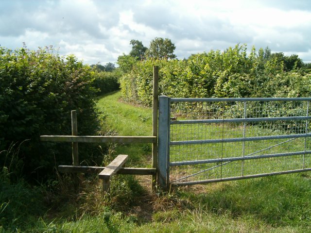
Adjacent to the downs, the Moorland in East Moor presents a striking contrast with its rugged terrain and open expanses. This area is rich in heather and gorse, creating a vibrant and colorful landscape. The moorland is crisscrossed by footpaths, making it a popular destination for outdoor enthusiasts and nature lovers.
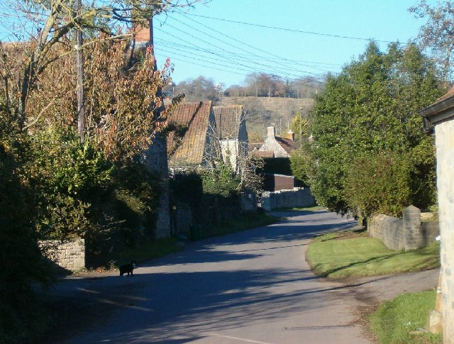
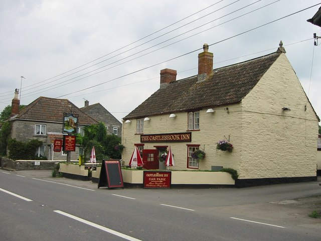
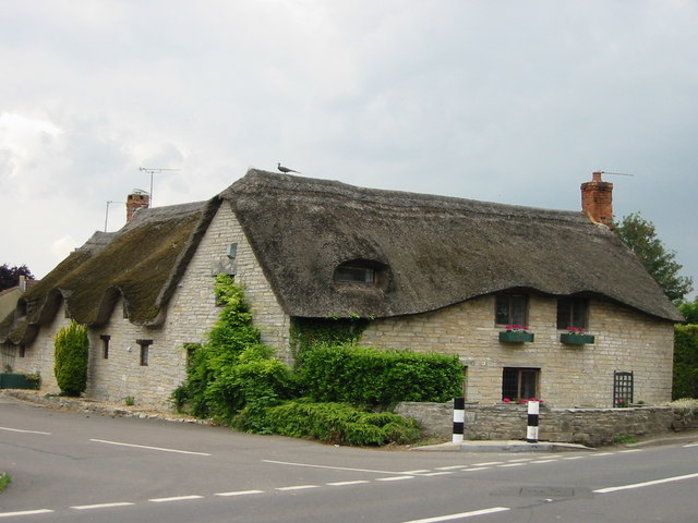
East Moor is also home to several charming villages and hamlets, offering a glimpse into the traditional rural life of Somerset. The communities here are known for their warm hospitality and old-world charm, with quaint cottages and historic buildings dotting the landscape.
Overall, East Moor, Somerset is a captivating region that showcases the natural beauty of the Somerset Downs and Moorland. With its picturesque countryside, diverse landscapes, and charming villages, it is a must-visit destination for those seeking a peaceful retreat in the heart of England.
If you have any feedback on the listing, please let us know in the comments section below.
East Moor Images
Images are sourced within 2km of 51.076123/-2.7372415 or Grid Reference ST4831. Thanks to Geograph Open Source API. All images are credited.


East Moor is located at Grid Ref: ST4831 (Lat: 51.076123, Lng: -2.7372415)
Administrative County: Somerset
District: South Somerset
Police Authority: Avon and Somerset
What 3 Words
///tolerable.lecturers.reflector. Near Street, Somerset
Nearby Locations
Related Wikis

Wessex (ward)
Wessex is an electoral ward of South Somerset District Council in Somerset, England. It is one of the wards that makes up the parliamentary constituency...
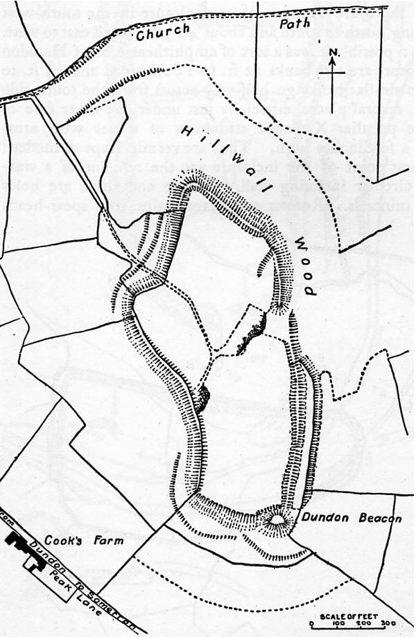
Dundon Hill Hillfort
Dundon Hill Hillfort is an Iron Age hillfort in Compton Dundon, Somerset, England. It has been designated as a Scheduled Ancient Monument. South east of...

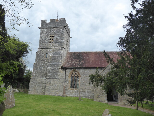
Church of St Andrew, Compton Dundon
The Anglican Church of St Andrew Compton Dundon, Somerset, England was built in the 14th century. It is a Grade II* listed building. == History == The...

Compton Dundon
Compton Dundon is a village and civil parish in Somerset, England, lying beside King's Sedgemoor and the Polden Hills, 5 miles (8 km) south of Glastonbury...
East Polden Grasslands
East Polden Grasslands (grid reference ST474325) is a 124 hectare biological Site of Special Scientific Interest on the Polden Hills in Somerset, notified...

Great Breach and Copley Woods
Great Breach and Copley Woods (grid reference ST500320) is a 64.8 hectare (160 acre) biological Site of Special Scientific Interest 1 km south of Compton...

Somerton Viaduct
The Somerton Viaduct is a historic railway viaduct in the town of Somerton in Somerset, England. It is situated on the Langport and Castle Cary Railway...

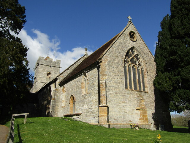
Church of St Michael and All Angels, Somerton
The Church of St Michael and All Angels in Somerton, Somerset, England dates from the 13th century and has been designated as a Grade I listed building...
Nearby Amenities
Located within 500m of 51.076123,-2.7372415Have you been to East Moor?
Leave your review of East Moor below (or comments, questions and feedback).