Aikbank Common

Downs, Moorland in Cumberland Eden

England

Aikbank Common

Cumberland County Council finger signpost at T-junction south of Low Plains The signpost has Milestone Society National ID:  CU_NY5040
Cumberland County Council finger signpost at T-junction south of Low Plains Credit: Roger Templeman

Aikbank Common is a sprawling heathland located in the county of Cumberland, England. It encompasses three distinct areas known as Downs, Moorland, and Cumberland. Covering an expansive area, Aikbank Common is a popular destination for nature enthusiasts and outdoor enthusiasts alike.

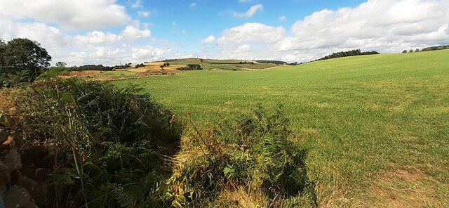
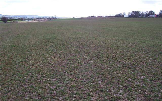
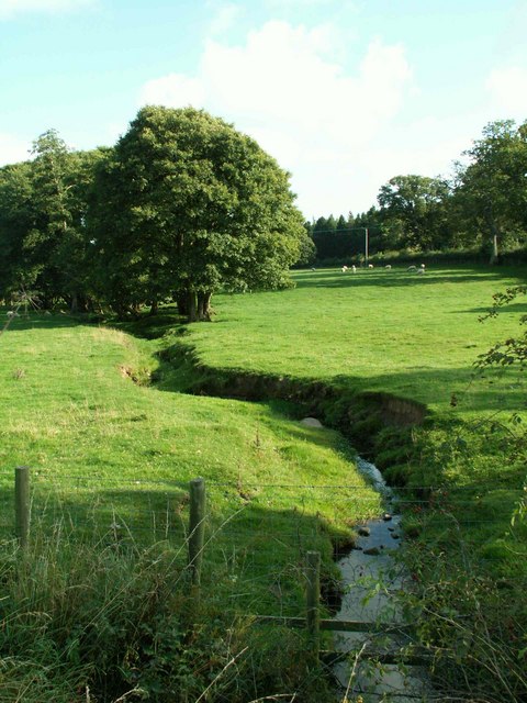
The Downs section of Aikbank Common boasts undulating hills and open grasslands, offering stunning panoramic views of the surrounding countryside. It is home to a diverse range of plant and animal species, including wildflowers, birds, and small mammals. The area is crisscrossed by a network of well-maintained footpaths and trails, making it an ideal location for walking, hiking, and picnicking.

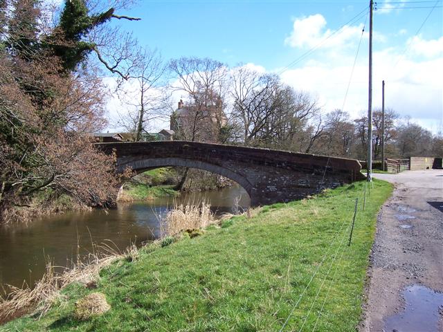
Moorland, as the name suggests, is characterized by vast stretches of open moorland interspersed with patches of woodland. This section of Aikbank Common is renowned for its rugged beauty and tranquility. Visitors can explore the moorland on foot or by bike, taking in the breathtaking vistas and observing the rich array of wildlife that inhabits the area. Moorland is also home to several rare bird species, making it a popular spot for birdwatching enthusiasts.

The Cumberland section of Aikbank Common is a mix of woodland, grassland, and wetland habitats. It is particularly known for its diverse range of plant species, including rare orchids and ferns. Walking trails wind through the woodland, allowing visitors to immerse themselves in the peaceful ambiance of this section of the common.

Overall, Aikbank Common offers a unique and diverse natural landscape, providing visitors with a multitude of opportunities for outdoor recreation and nature appreciation.

If you have any feedback on the listing, please let us know in the comments section below.

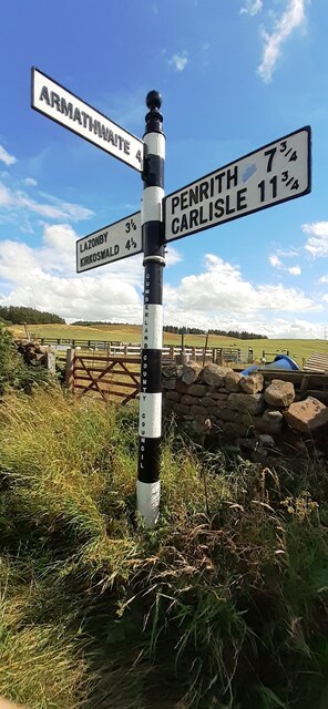
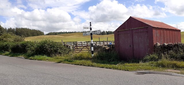
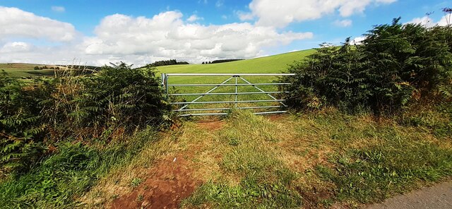
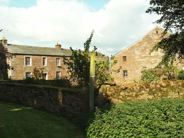
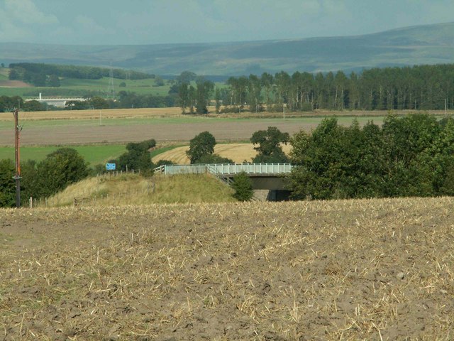
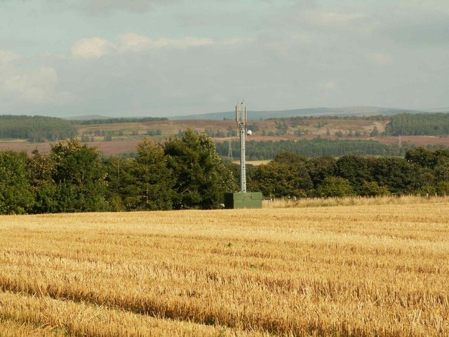
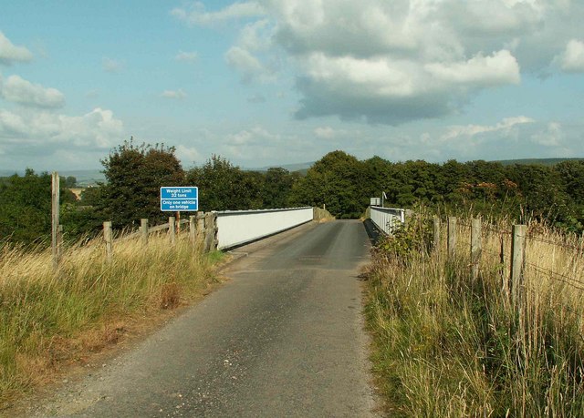
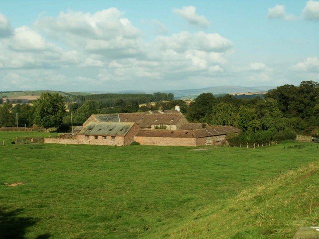
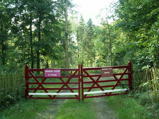
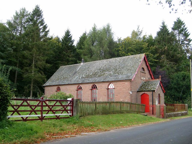
Aikbank Common Images

Images are sourced within 2km of 54.758217/-2.8031374 or Grid Reference NY4840. Thanks to Geograph Open Source API. All images are credited.

Cumberland County Council finger signpost at T-junction south of Low Plains The signpost has Milestone Society National ID:  CU_NY5040
Cumberland County Council finger signpost at T-junction south of Low Plains
The signpost has Milestone Society National ID: CU_NY5040
Signpost and shed on south side of rural road near Castlerigg Farm There is a close-up of the Cumberland County Council signpost at <a href="https://www.geograph.org.uk/photo/7245275">NY5040 : Cumberland County Council finger signpost at T-junction south of Low Plains</a>
Signpost and shed on south side of rural road near Castlerigg Farm
There is a close-up of the Cumberland County Council signpost at NY5040 : Cumberland County Council finger signpost at T-junction south of Low Plains
Fields SW of Castlerigg Farm
Field gateway on NE side of road near Castlerigg Farm Ordnance Survey documents indicate that a benchmark levelled at 134.485m above Newlyn Datum was verified in 1974 on a gatepost here. Presumably there were stone gateposts here originally, now replaced by metal ones
Field gateway on NE side of road near Castlerigg Farm
Ordnance Survey documents indicate that a benchmark levelled at 134.485m above Newlyn Datum was verified in 1974 on a gatepost here. Presumably there were stone gateposts here originally, now replaced by metal ones
Ordnance mark Information supplied by geographer is:-
By the way what you have photographed is what is known as a PA bolt which stands for Published Abstract Bolt. The round thing in the centre of the bar is a piece of phosphor bronze set in the wall and has a horizontal mark cut in the end of the bar which is the mark the level is taken to.
Ordnance mark
Information supplied by geographer is:- By the way what you have photographed is what is known as a PA bolt which stands for Published Abstract Bolt. The round thing in the centre of the bar is a piece of phosphor bronze set in the wall and has a horizontal mark cut in the end of the bar which is the mark the level is taken to.
Road bridge at Plumpton Foot. With the Mill hiding in the trees in the background.
Road bridge at Plumpton Foot.
With the Mill hiding in the trees in the background.
Wet eden valley farmland. With the M6 on the right and the railway on the left and a patch of floodwater across the railway.
Wet eden valley farmland.
With the M6 on the right and the railway on the left and a patch of floodwater across the railway.
Straw bales and motorway traffic
Calthwaite House Start of footpath to Plumpton Foot
Calthwaite House
Start of footpath to Plumpton Foot
Calthwaite House Bridge
Phone mast in field of stubble
Robinson House Bridge
M6 from Robinson House Bridge
Robinson House Farm
Robinson House Farm
Ravensgill Beck
Ravensgill Beck
Entrance to Ravensgill Plantation This smart maroon paint features prominently on properties around the Brackenburgh
Estate.
Entrance to Ravensgill Plantation
This smart maroon paint features prominently on properties around the Brackenburgh Estate.
Plumpton Back Street Methodist Church The church was opened in 1905.
Plumpton Back Street Methodist Church
The church was opened in 1905.
Knowe Farm A view across pastures to the west of the A6 from the footpath below Bluebell Farm.
Knowe Farm
A view across pastures to the west of the A6 from the footpath below Bluebell Farm.
Show me another place!

Aikbank Common is located at Grid Ref: NY4840 (Lat: 54.758217, Lng: -2.8031374)

Administrative County: Cumbria

District: Eden

Police Authority: Cumbria

What 3 Words

///dolphins.impressed.spit. Near Penrith, Cumbria

Nearby Locations

Aikbank Common

Related Wikis

Nearby Amenities

Located within 500m of 54.758217,-2.8031374
Merrythought
Place: locality
Lat/Long: 54.7564132/-2.7976537
Power: pole
Lat/Long: 54.7550208/-2.7995277
Power: pole
Lat/Long: 54.7556922/-2.8005518
Power: pole
Lat/Long: 54.7559716/-2.8022656
Power: pole
Lat/Long: 54.756649/-2.8028822
Power: pole
Lat/Long: 54.7575133/-2.8037217
Power: pole
Lat/Long: 54.7583344/-2.8044654
Power: pole
Lat/Long: 54.7592248/-2.8053171
Power: pole
Lat/Long: 54.7601012/-2.8061496
Power: pole
Lat/Long: 54.7610358/-2.8070379
Power: pole
Lat/Long: 54.7618136/-2.8074141
Power: pole
Lat/Long: 54.7619382/-2.8074907
Power: pole
Lat/Long: 54.7606107/-2.8084992
Power: pole
Lat/Long: 54.7552841/-2.7980472
Power: pole
Lat/Long: 54.7554871/-2.7993134
Power: pole
Lat/Long: 54.7587565/-2.8036189
Power: pole
Lat/Long: 54.759263/-2.8025042
Power: pole
Lat/Long: 54.7597796/-2.8013826
Power: pole
Lat/Long: 54.7603052/-2.8002278
Power: pole
Lat/Long: 54.7608077/-2.7991462
Power: pole
Lat/Long: 54.7613222/-2.798042
The data included in this document is from www.openstreetmap.org. The data is made available under ODbL.

Have you been to Aikbank Common?

Leave your review of Aikbank Common below (or comments, questions and feedback).