St Leonard's Moss

Downs, Moorland in Roxburghshire

Scotland

St Leonard's Moss

Grazing lands near Winningtonrig in Roxburghshire
Grazing lands near Winningtonrig in Roxburghshire Credit: James Denham

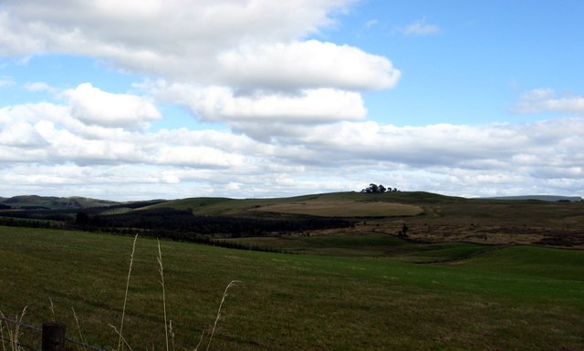
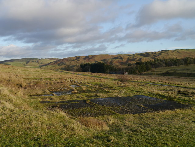
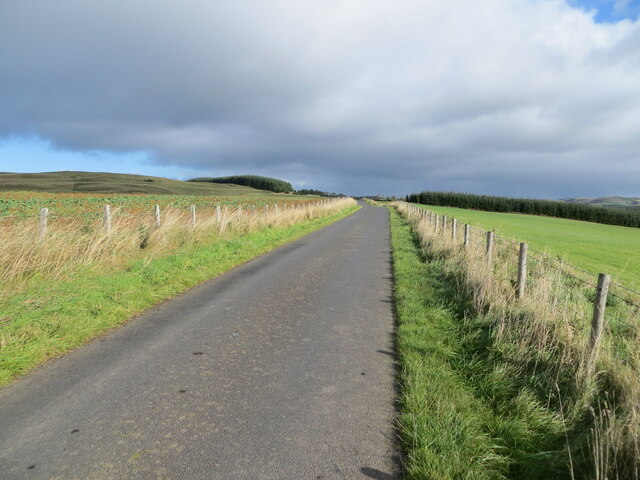
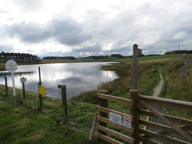
St Leonard's Moss is a vast expanse of downs and moorland located in Roxburghshire, Scotland. Stretching over several square miles, this natural landscape offers a diverse and captivating environment for visitors to explore.

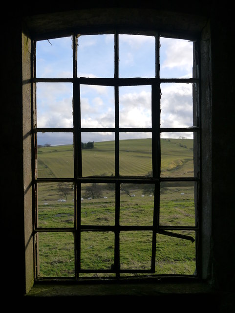
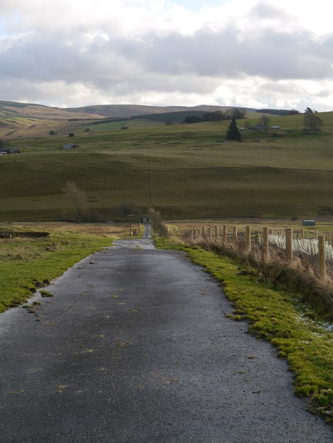
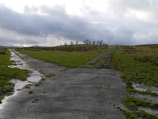
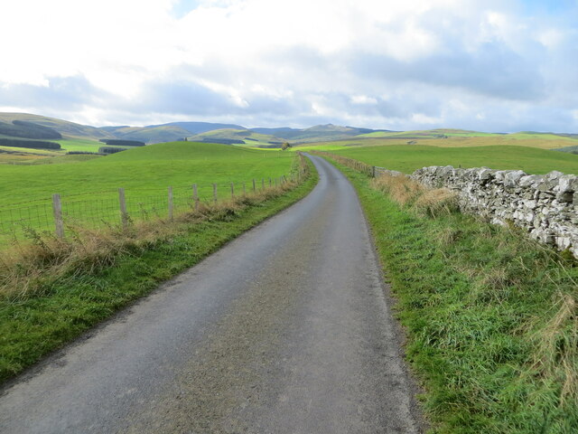
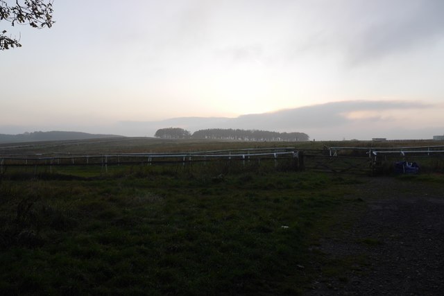
The moss is characterized by its rolling hills, heather-covered moorland, and scattered patches of woodland. The downs offer breathtaking panoramic views of the surrounding countryside, with the green pastures and distant hills creating a picturesque backdrop. The area is home to a variety of plant and animal species, making it a haven for nature enthusiasts and wildlife photographers.

The moorland is dominated by heather, which carpets the ground in a vibrant purple hue during the summer months. This unique ecosystem supports a rich biodiversity, with species such as red grouse, curlews, and merlins thriving in this environment. Visitors may also encounter other bird species, including lapwings and golden plovers.

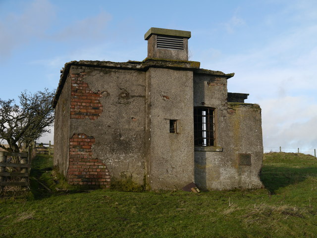
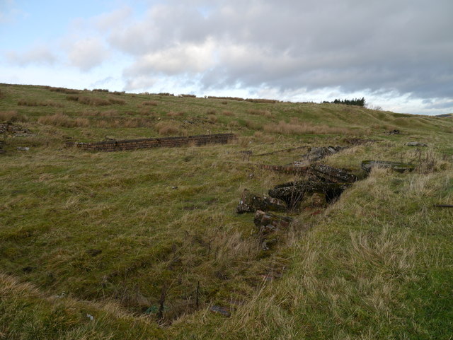
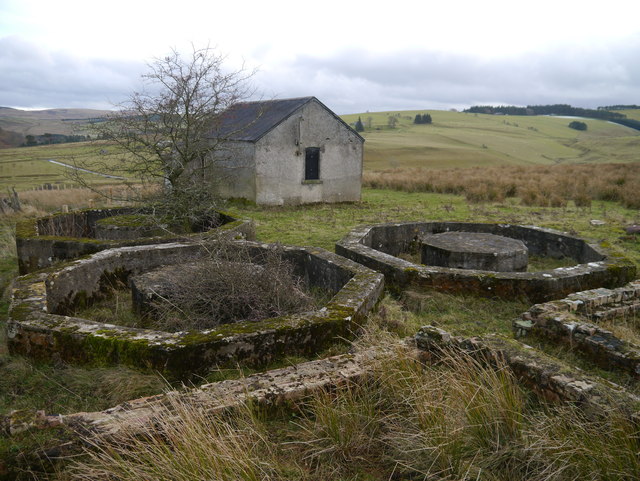
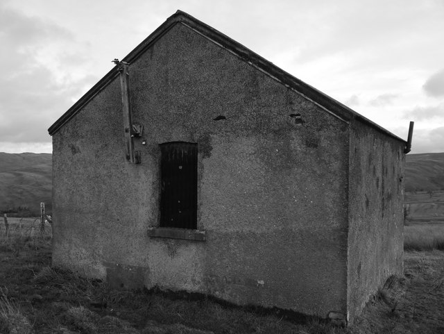
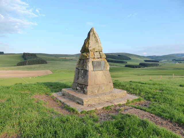
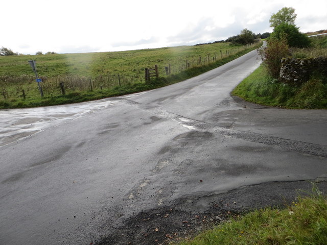
St Leonard's Moss offers numerous walking trails and paths, allowing visitors to immerse themselves in the natural beauty of the area. These routes cater to all levels of fitness, from gentle strolls to more challenging hikes. Along the way, visitors may come across ancient stone circles and remnants of historic settlements, providing a glimpse into the area's rich cultural heritage.

Whether exploring the downs, wandering through the moorland, or simply taking in the stunning views, a visit to St Leonard's Moss is sure to leave visitors with a deep appreciation for the natural wonders of Roxburghshire.

If you have any feedback on the listing, please let us know in the comments section below.

St Leonard's Moss Images

Images are sourced within 2km of 55.388541/-2.8162305 or Grid Reference NT4810. Thanks to Geograph Open Source API. All images are credited.

Grazing lands near Winningtonrig in Roxburghshire
A View Across Stobs Camp A view across the camp site, with concrete foundations prominent in the foreground.
A View Across Stobs Camp
A view across the camp site, with concrete foundations prominent in the foreground.
Drying Building One of two remaining equipment drying buildings at the former camp site.
Drying Building
One of two remaining equipment drying buildings at the former camp site.
A Window With A View A view out of a drying building window across the remains of the camp site.  For an external view of the building, see <a href="https://www.geograph.org.uk/photo/3789565">NT4909 : Drying Building</a>
A Window With A View
A view out of a drying building window across the remains of the camp site. For an external view of the building, see NT4909 : Drying Building
Building Foundations A set of brick and concrete foundations, just one of many at the former camp site.
Building Foundations
A set of brick and concrete foundations, just one of many at the former camp site.
Road In Stobs Camp This tarmac road provides access to Winningtonrig Farm, above the camp site.
Road In Stobs Camp
This tarmac road provides access to Winningtonrig Farm, above the camp site.
Storage At Stobs Probable camp buildings now utilised as farm storage at the top of the former Stobs Camp site.
Storage At Stobs
Probable camp buildings now utilised as farm storage at the top of the former Stobs Camp site.
A Meeting Of Two Roads A junction at the top of the Stobs Camp site.
A Meeting Of Two Roads
A junction at the top of the Stobs Camp site.
Tanks At Stobs Camp Three octagonal tanks and several rectangular tanks remain near the top of the site: it is unclear what these tanks contained.
Tanks At Stobs Camp
Three octagonal tanks and several rectangular tanks remain near the top of the site: it is unclear what these tanks contained.
Derelict Building At Stobs Camp Located next to some tanks near the top of the site, the function of this building is unknown.
Derelict Building At Stobs Camp
Located next to some tanks near the top of the site, the function of this building is unknown.
Cairn on Auld Ca-Knowe Ca’ Knowe cairn was erected in 1911 to commemorate the historic calling of the burgess roll at this spot during the annual Hawick riding the marches between 1537 and 1777.
Cairn on Auld Ca-Knowe
Ca’ Knowe cairn was erected in 1911 to commemorate the historic calling of the burgess roll at this spot during the annual Hawick riding the marches between 1537 and 1777.
Wall and fence enclosed minor road near to Auld Ca-knowe Looking south-westward.
Wall and fence enclosed minor road near to Auld Ca-knowe
Looking south-westward.
Fence enclosed minor road near to Lord's Tree Looking north-eastward.
Fence enclosed minor road near to Lord's Tree
Looking north-eastward.
A road at Stobs Camp The camp area had a network of roads between the huts, here on the side of Winningtonrig above the Barnes Burn.

The camp was on land bought from Stobs Estate in 1902 and was in use for military training and later for internment of Prisoners of War in WW1. Prisoners were housed in 80 huts capable of accommodating 4,500 men in total. A bakery, post office, hospital, mortuary and workshops were among the camp’s facilities and the POWs produced a newspaper ‘Stobsiade’. The camp’s role declined in the 1920s until it was used for limited training in WW2. Postwar resettlement of Polish troops and Territorial Army training took place until the camp closed in the late 1950s. 

The camp’s history has been investigated recently by the Stobs Camp Project under Archaeology Scotland with local volunteers, with much material on their website The camp was on land bought from Stobs Estate in 1902 and was in use for military training and later for internment of Prisoners of War in WW1. Prisoners were housed in 80 huts capable of accommodating 4,500 men in total. A bakery, post office, hospital, mortuary and workshops were among the camp’s facilities and the POWs produced a newspaper ‘Stobsiade’. The camp’s role declined in the 1920s until it was used for limited training in WW2. Postwar resettlement of Polish troops and Territorial Army training took place until the camp closed in the late 1950s. 

The camp’s history has been investigated recently by the Stobs Camp Project under Archaeology Scotland with local volunteers, with much material on their website  <span class="nowrap"><a title="http://www.stobscamp.org/" rel="nofollow ugc noopener" href="http://www.stobscamp.org/">Link</a><img style="margin-left:2px;" alt="External link" title="External link - shift click to open in new window" src="https://s1.geograph.org.uk/img/external.png" width="10" height="10"/></span> including the booklet ‘Stobs Camp Project’ from which the above details have been taken.
A road at Stobs Camp
The camp area had a network of roads between the huts, here on the side of Winningtonrig above the Barnes Burn. The camp was on land bought from Stobs Estate in 1902 and was in use for military training and later for internment of Prisoners of War in WW1. Prisoners were housed in 80 huts capable of accommodating 4,500 men in total. A bakery, post office, hospital, mortuary and workshops were among the camp’s facilities and the POWs produced a newspaper ‘Stobsiade’. The camp’s role declined in the 1920s until it was used for limited training in WW2. Postwar resettlement of Polish troops and Territorial Army training took place until the camp closed in the late 1950s. The camp’s history has been investigated recently by the Stobs Camp Project under Archaeology Scotland with local volunteers, with much material on their website The camp was on land bought from Stobs Estate in 1902 and was in use for military training and later for internment of Prisoners of War in WW1. Prisoners were housed in 80 huts capable of accommodating 4,500 men in total. A bakery, post office, hospital, mortuary and workshops were among the camp’s facilities and the POWs produced a newspaper ‘Stobsiade’. The camp’s role declined in the 1920s until it was used for limited training in WW2. Postwar resettlement of Polish troops and Territorial Army training took place until the camp closed in the late 1950s. The camp’s history has been investigated recently by the Stobs Camp Project under Archaeology Scotland with local volunteers, with much material on their website LinkExternal link including the booklet ‘Stobs Camp Project’ from which the above details have been taken.
St Leonard's Park The racecourse plays a big part in the Common Riding.
St Leonard's Park
The racecourse plays a big part in the Common Riding.
Ordnance Survey Fundamental Bench Mark - Hawick This can be found hidden in the grass on the roadside verge of the cross-roads near Nipknowes Quarry.
For more detail see : <span class="nowrap"><a title="http://www.bench-marks.org.uk/bm1079" rel="nofollow ugc noopener" href="http://www.bench-marks.org.uk/bm1079">Link</a><img style="margin-left:2px;" alt="External link" title="External link - shift click to open in new window" src="https://s1.geograph.org.uk/img/external.png" width="10" height="10"/></span>
Ordnance Survey Fundamental Bench Mark - Hawick
This can be found hidden in the grass on the roadside verge of the cross-roads near Nipknowes Quarry. For more detail see : LinkExternal link
Cross Roads near Nipknowes Quarry Looking westward.
Cross Roads near Nipknowes Quarry
Looking westward.
Williestruther Loch Looking south-westward.
Williestruther Loch
Looking south-westward.
Show me another place!

St Leonard's Moss is located at Grid Ref: NT4810 (Lat: 55.388541, Lng: -2.8162305)

Unitary Authority: The Scottish Borders

Police Authority: The Lothians and Scottish Borders

What 3 Words

///verb.unwanted.evolution. Near Hawick, Scottish Borders

Nearby Locations

St Leonard's Moss

Related Wikis

Nearby Amenities

Located within 500m of 55.388541,-2.8162305
Power: pole
Lat/Long: 55.3901474/-2.8096771
Power: pole
Lat/Long: 55.3896472/-2.8104368
Power: pole
Lat/Long: 55.3891367/-2.8112247
Power: pole
Lat/Long: 55.3886482/-2.8119611
Power: pole
Lat/Long: 55.3880851/-2.8124736
Power: pole
Lat/Long: 55.3875279/-2.8129783
Power: pole
Lat/Long: 55.3869486/-2.813483
Power: pole
Lat/Long: 55.3864089/-2.8139851
Power: pole
Lat/Long: 55.3859803/-2.8146983
Power: pole
Lat/Long: 55.3855957/-2.8153447
The data included in this document is from www.openstreetmap.org. The data is made available under ODbL.

Have you been to St Leonard's Moss?

Leave your review of St Leonard's Moss below (or comments, questions and feedback).