Hound Wood
Downs, Moorland in Somerset Mendip
England
Hound Wood

Hound Wood is a picturesque area located in Somerset, England. Spread across the downs and moorland, it covers an extensive area of natural beauty. The wood is characterized by its dense cover of deciduous trees, including oak, beech, and ash, which provide a vibrant display of colors throughout the year.
Situated on the rolling hills of Somerset, Hound Wood offers breathtaking views of the surrounding landscape. The wood is crisscrossed by a network of well-maintained footpaths, making it a popular destination for walkers, hikers, and nature enthusiasts. These paths offer a chance to explore the wood's diverse flora and fauna, with sightings of deer, foxes, and various bird species being quite common.
Hound Wood is also home to several small, babbling brooks and streams that meander through the area, enhancing its natural charm. These water bodies provide a habitat for a variety of aquatic plants and animals, contributing to the wood's ecological diversity.
In addition to its natural beauty, Hound Wood holds historical significance. It is believed to have been used as a hunting ground during medieval times, and remnants of ancient hunting lodges can still be found within the wood. The area is also dotted with archaeological sites, including burial mounds and ancient settlements, giving a glimpse into its rich past.
Overall, Hound Wood in Somerset offers a tranquil and captivating experience for visitors, combining stunning natural scenery with a touch of history and a haven for wildlife.
If you have any feedback on the listing, please let us know in the comments section below.
Hound Wood Images
Images are sourced within 2km of 51.132026/-2.7543812 or Grid Reference ST4737. Thanks to Geograph Open Source API. All images are credited.


Hound Wood is located at Grid Ref: ST4737 (Lat: 51.132026, Lng: -2.7543812)
Administrative County: Somerset
District: Mendip
Police Authority: Avon and Somerset
What 3 Words
///hedge.ruling.forms. Near Street, Somerset
Nearby Locations
Related Wikis

Sharpham
Sharpham is a village and civil parish on the Somerset Levels near Street and Glastonbury in the Mendip district of Somerset, England. It is located near...

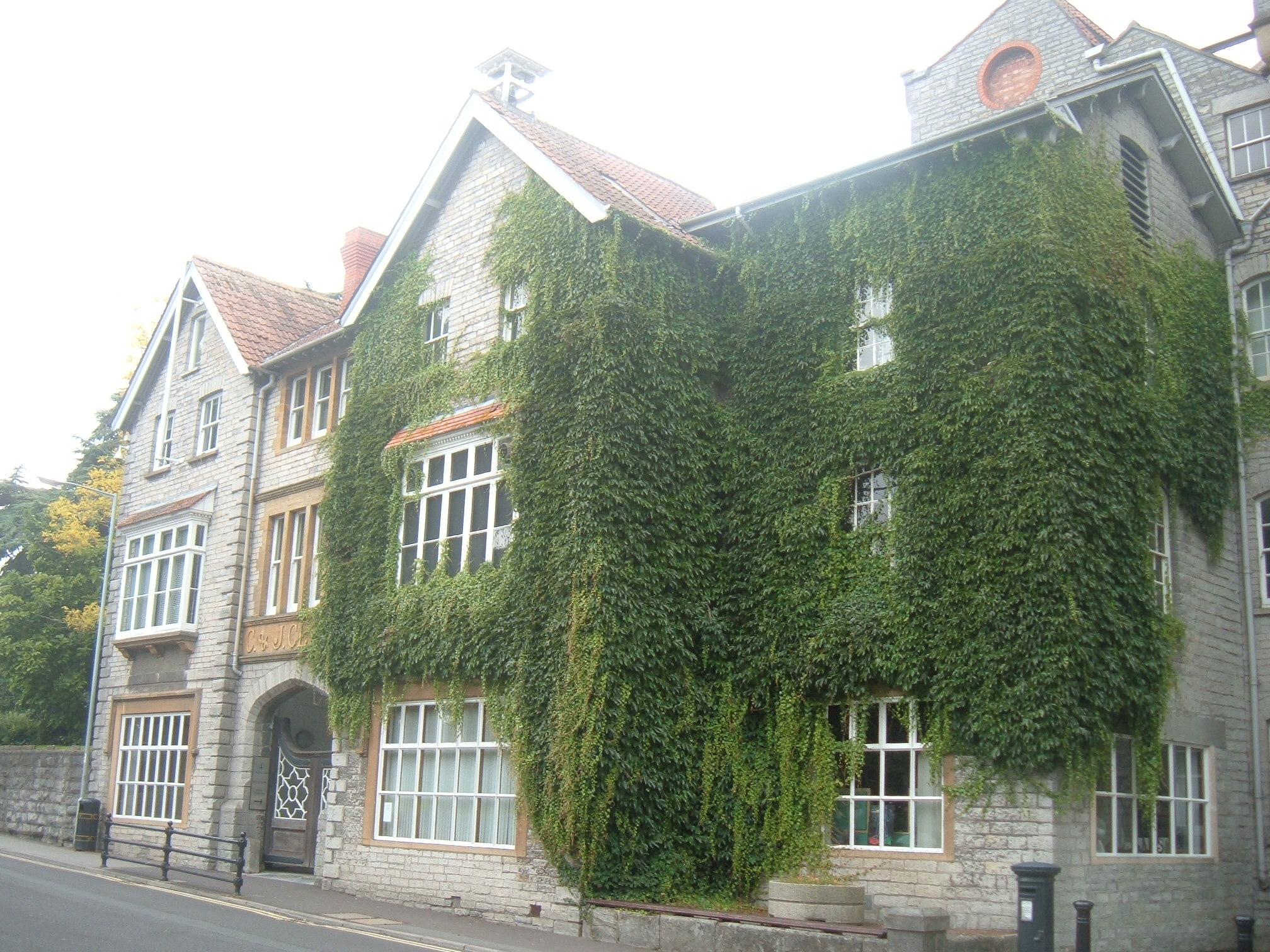
Clarks Village
Clarks Village is an outlet shopping village in Street, Somerset, England. It was established in 1993 on the site of old C&J Clark factory buildings....
The Shoe Museum
The Shoe Museum in Street, Somerset, England exhibited shoes dating from the Roman era to the present day. The museum closed on 27 September 2019.It showed...

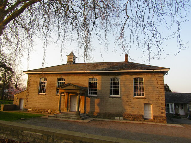
United Reformed Church, Street
The United Reformed Church (originally known as the Congregational Chapel) is a United Reformed Church in Street, Somerset, England. It was designed by...

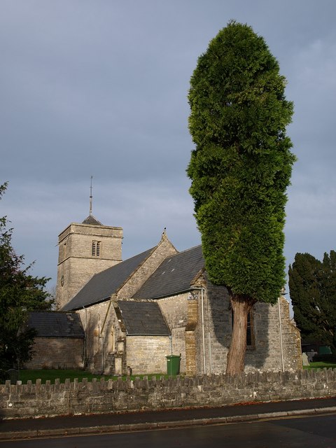
Street Mission Church
Street Mission Church is a Church of England church in Street, Somerset, England. The church was built in 1990 on the site of an earlier tin tabernacle...

Street Methodist Church
Street Methodist Church is a Methodist church in Street, Somerset, England. It was designed by Henry Hawkins and George Alves and built in 1893. ��2�...

Strode College
Strode College is a tertiary institution and a further education college situated in Street, Somerset, England offering Sixth Form education as well as...
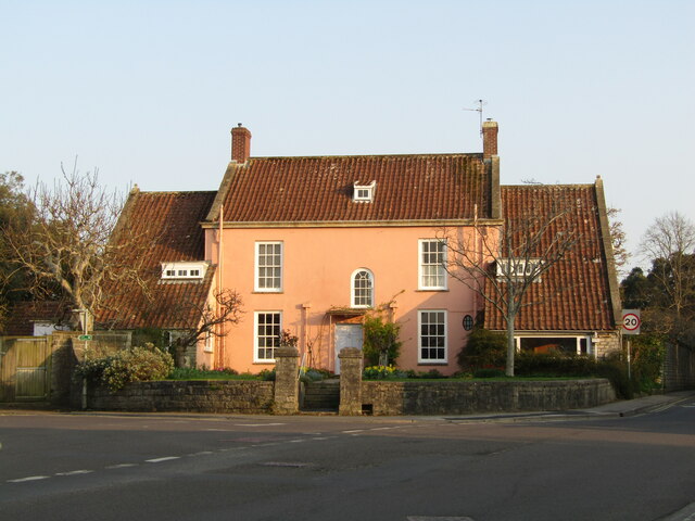
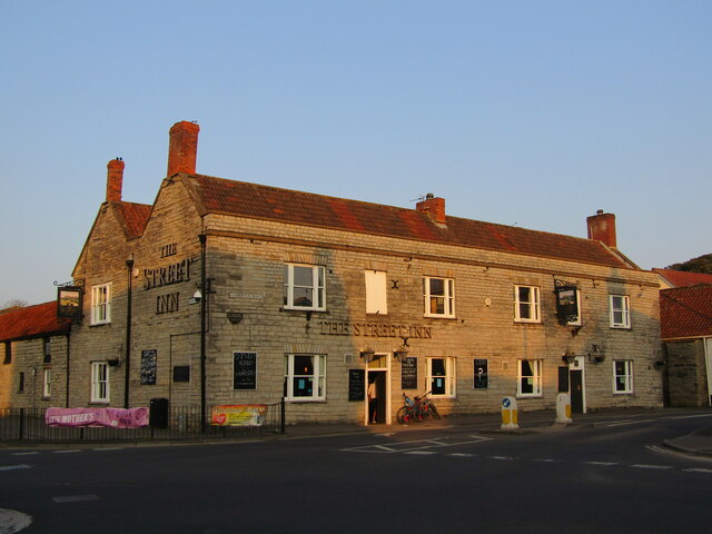
Street, Somerset
Street is a large village and civil parish in Somerset, England, with a population of 11,805 in 2011. On a dry spot in the Somerset Levels, at the end...
Nearby Amenities
Located within 500m of 51.132026,-2.7543812Have you been to Hound Wood?
Leave your review of Hound Wood below (or comments, questions and feedback).