Glastonbury Heath
Downs, Moorland in Somerset Mendip
England
Glastonbury Heath

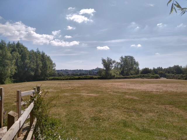
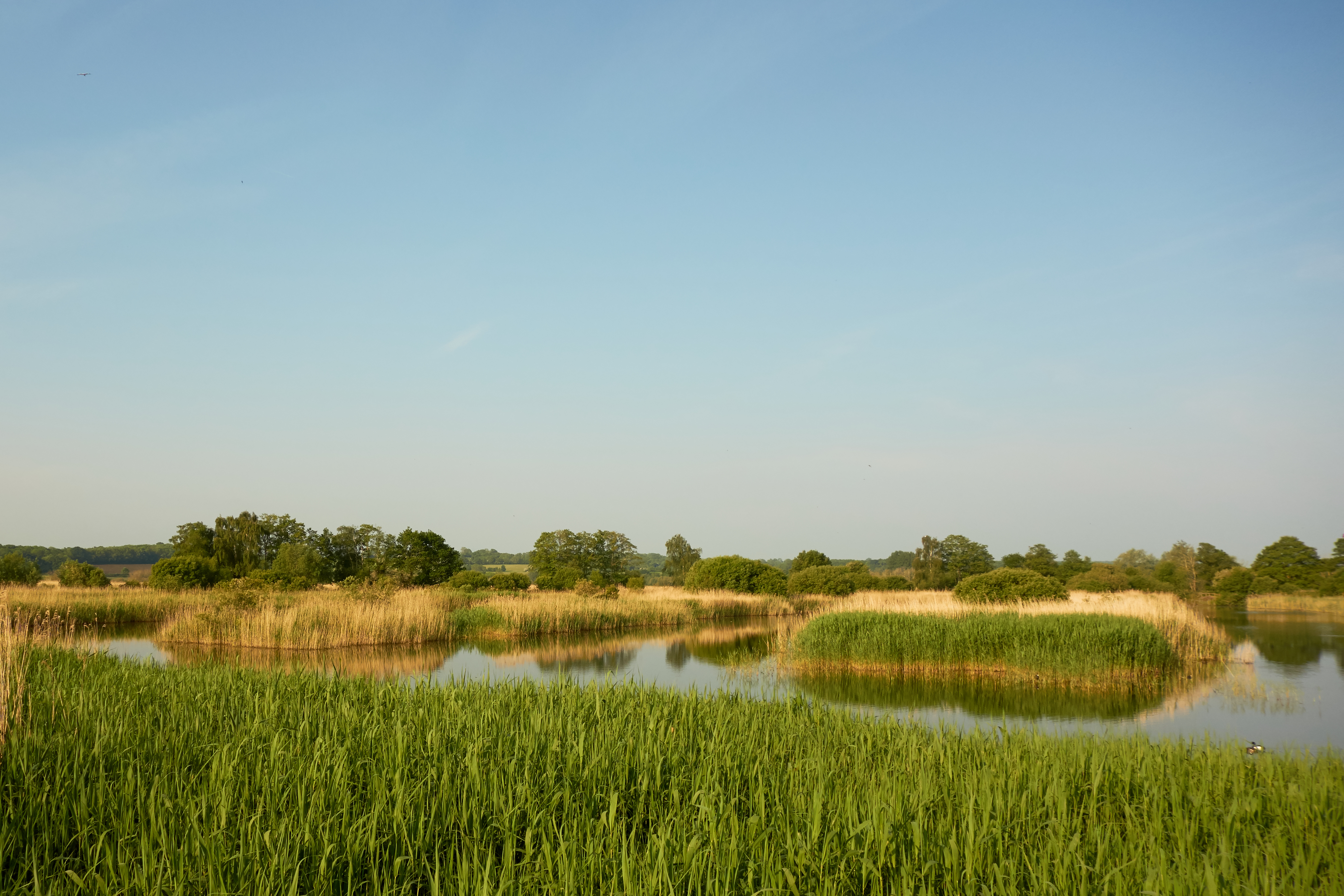
Glastonbury Heath, located in Somerset, England, is a unique and picturesque landscape that combines elements of downs and moorland. Spanning an area of approximately 2,500 acres, it is a diverse and ecologically important site. The heath is situated on the outskirts of Glastonbury, a historic town known for its spiritual and mystical associations.
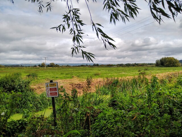
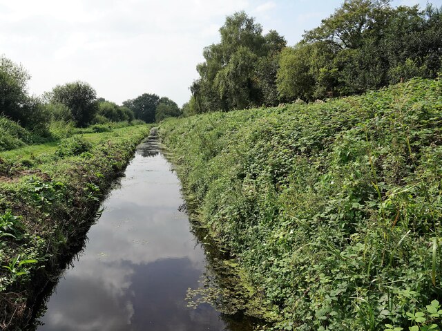
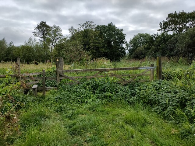
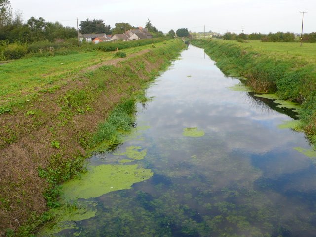
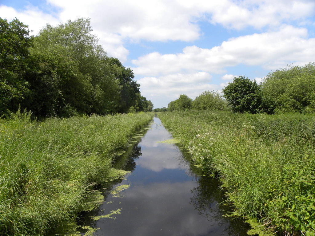
The terrain of Glastonbury Heath is characterized by undulating hills, open grasslands, and patches of heather and gorse. The downs, with their gently sloping hills, provide sweeping views of the surrounding countryside. The moorland areas, on the other hand, consist of wet and boggy sections interspersed with heathland vegetation.
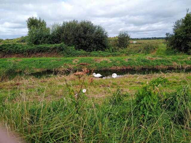
This heathland supports a wide range of flora and fauna, making it a significant habitat for biodiversity. It is home to various bird species, including skylarks, stonechats, and meadow pipits. Additionally, the heath provides a haven for numerous insects, reptiles, and small mammals.
The unique blend of downs and moorland in Glastonbury Heath also contributes to its historical and cultural significance. It has long been associated with Arthurian legends and is believed to be the location of the mythical Isle of Avalon. The heath is also home to several ancient burial mounds and archaeological sites, adding to its rich heritage.
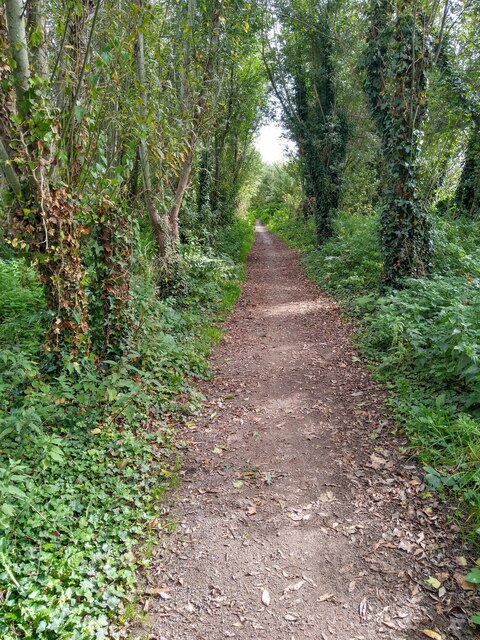
Glastonbury Heath attracts visitors who appreciate its natural beauty and tranquility. It offers opportunities for walking, birdwatching, and nature photography. The heath is managed by conservation organizations, which work to preserve its delicate ecosystem and protect its wildlife.
Overall, Glastonbury Heath is a captivating landscape that combines the charm of downs and moorland, providing a haven for wildlife and offering visitors a glimpse into the region's history and natural beauty.
If you have any feedback on the listing, please let us know in the comments section below.
Glastonbury Heath Images
Images are sourced within 2km of 51.154497/-2.7544617 or Grid Reference ST4739. Thanks to Geograph Open Source API. All images are credited.


Glastonbury Heath is located at Grid Ref: ST4739 (Lat: 51.154497, Lng: -2.7544617)
Administrative County: Somerset
District: Mendip
Police Authority: Avon and Somerset
What 3 Words
///deploying.brittle.jolt. Near Glastonbury, Somerset
Nearby Locations
Related Wikis
Street Heath
Street Heath (grid reference ST464394) is a 12.5 hectare (31.0 acre) biological Site of Special Scientific Interest 4 km west of Glastonbury in Somerset...

Sharpham Moor Plot
Sharpham Moor Plot (grid reference ST465389) is a 0.5-hectare (1.3 acre) biological Site of Special Scientific Interest at Sharpham in Somerset, UK, notified...
Ham Wall
Ham Wall is an English wetland National Nature Reserve (NNR) 4 kilometres (2.5 mi) west of Glastonbury on the Somerset Levels. It is managed by the Royal...
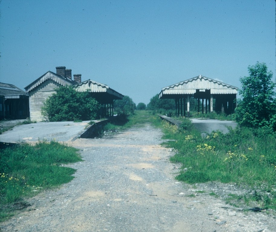
Glastonbury and Street railway station
Glastonbury and Street railway station was the biggest station on the original Somerset and Dorset Joint Railway main line from Highbridge to Evercreech...
Northover, Somerset
Northover is a former village, now a suburb of Glastonbury in Mendip, Somerset, England.It should not be confused with Northover, Ilchester, a former parish...
Glastonbury F.C.
Glastonbury F.C. is a football club based in Glastonbury, England. The club is affiliated to the Somerset County FA. The club are currently members of...

Sharpham
Sharpham is a village and civil parish on the Somerset Levels near Street and Glastonbury in the Mendip district of Somerset, England. It is located near...

Glastonbury Lake Village
Glastonbury Lake Village was an Iron Age village, situated on a crannog or man made island in the Somerset Levels, near Godney, some 3 miles (5 km) north...
Have you been to Glastonbury Heath?
Leave your review of Glastonbury Heath below (or comments, questions and feedback).