Barton Fell
Downs, Moorland in Westmorland Eden
England
Barton Fell
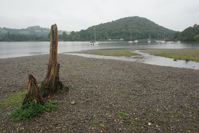
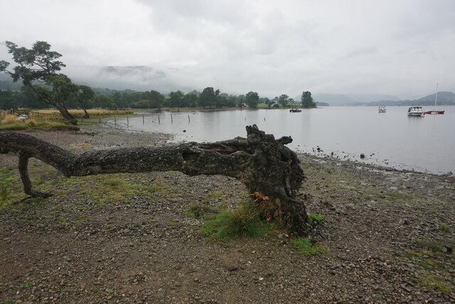
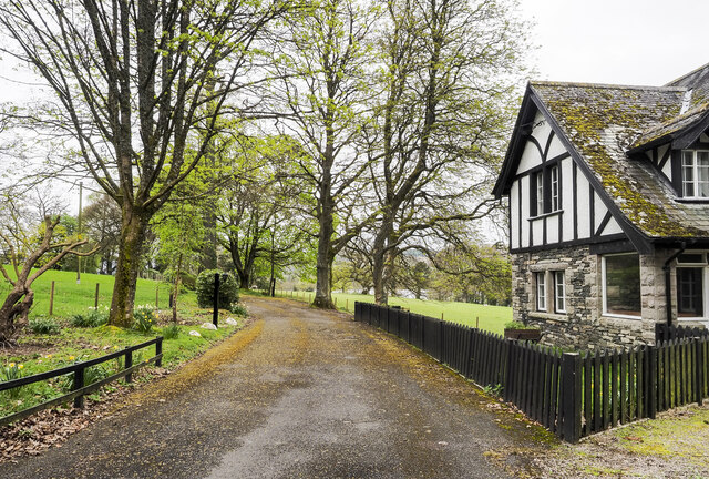
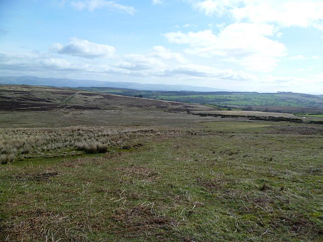
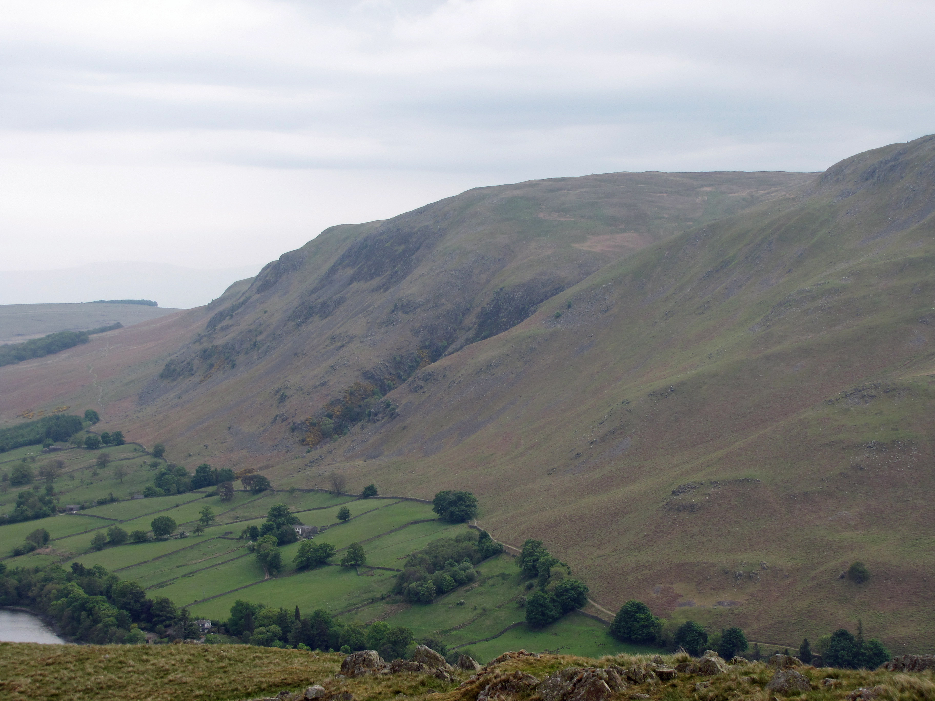
Barton Fell is a prominent geographical feature located in the county of Westmorland, England. Situated in the northern region of the county, it is known for its stunning natural beauty and diverse landscape. The fell is part of the larger Pennines mountain range and is characterized by its rolling hills, open moorland, and lush green valleys.
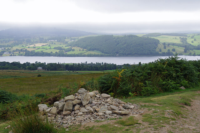
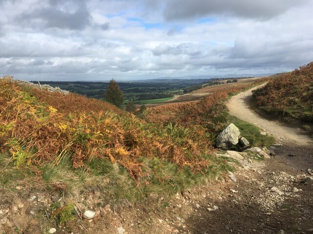
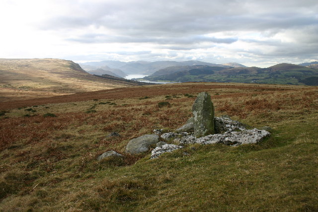
Covering an extensive area, Barton Fell offers breathtaking views of the surrounding countryside. Its highest point reaches an elevation of approximately 563 meters (1,847 feet) above sea level, providing visitors with panoramic vistas of the Westmorland Downs. The fell is a popular destination for outdoor enthusiasts, offering numerous walking trails and paths that cater to all levels of ability.
The flora and fauna of Barton Fell are diverse and abundant. The moorland is adorned with a colorful tapestry of heather, grasses, and wildflowers, creating a picturesque backdrop. The area is also home to a variety of wildlife, including birds of prey such as kestrels and buzzards, as well as smaller mammals like rabbits and hares.
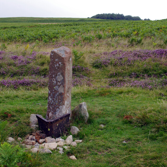
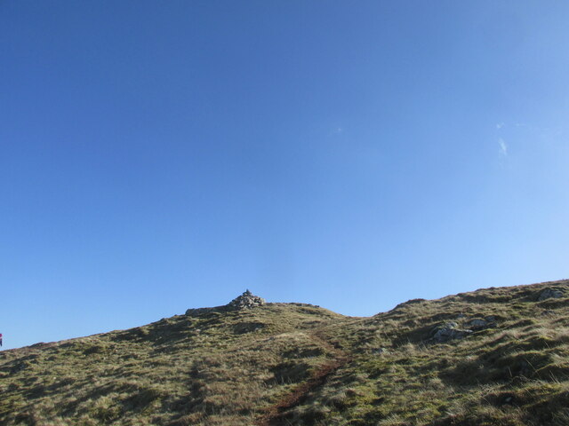
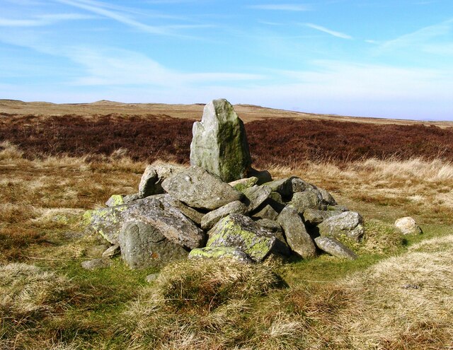
Barton Fell is steeped in history, with evidence of human habitation dating back thousands of years. Ancient stone circles and burial mounds can be found scattered across the landscape, providing a glimpse into the area's rich past. The fell is also known for its connections to the mining industry, with remnants of old lead mines still visible in certain areas.
Overall, Barton Fell is a captivating destination for those seeking to immerse themselves in the natural beauty and history of Westmorland. Its picturesque landscape, diverse wildlife, and rich heritage make it a must-visit location for nature enthusiasts and history buffs alike.
If you have any feedback on the listing, please let us know in the comments section below.
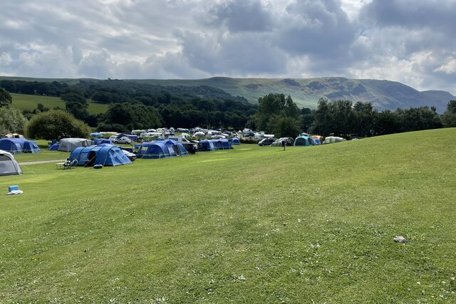
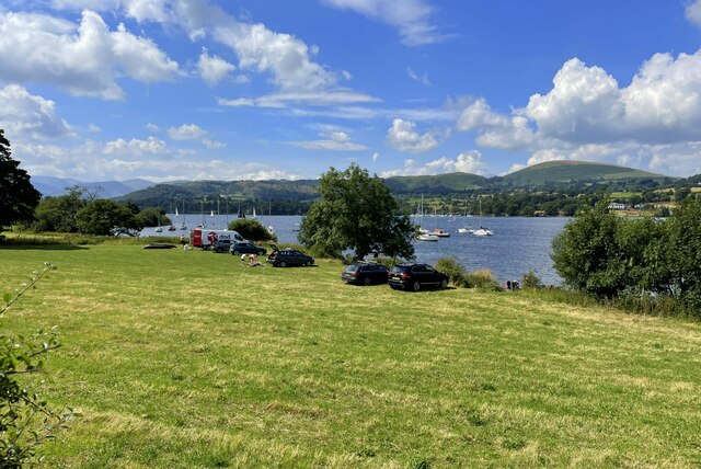
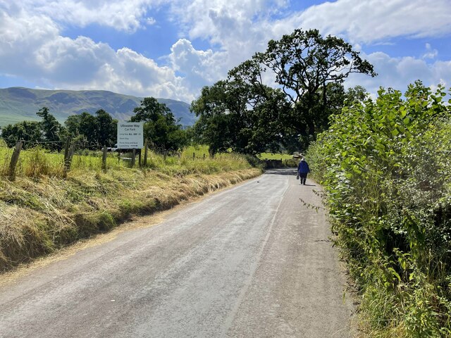
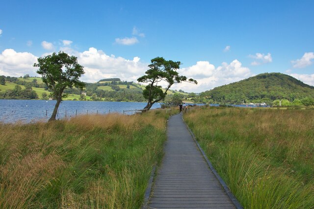
Barton Fell Images
Images are sourced within 2km of 54.591498/-2.8169226 or Grid Reference NY4722. Thanks to Geograph Open Source API. All images are credited.


Barton Fell is located at Grid Ref: NY4722 (Lat: 54.591498, Lng: -2.8169226)
Administrative County: Cumbria
District: Eden
Police Authority: Cumbria
What 3 Words
///feast.farmed.fond. Near Penrith, Cumbria
Nearby Locations
Related Wikis

Barton and Pooley Bridge
Barton and Pooley Bridge is a civil parish in Eden District, Cumbria, England. The parish is on the edge of the Lake District National Park, and had a...

Sharrow Bay Country House
Sharrow Bay Country House was a hotel and restaurant located on the eastern shore of Ullswater near Pooley Bridge, Cumbria, England. The hotel is associated...
Heughscar Hill
Heughscar Hill is a hill in the east of the English Lake District, east of Ullswater and north of High Street, Cumbria. It is the subject of a chapter...
Arthur's Pike
Arthur's Pike is a fell in the English Lake District, near Ullswater. It is a subsidiary top on the ridge falling north from Loadpot Hill in the Far Eastern...
Ullswater Way
The Ullswater Way is a 20-mile (32 km) waymarked walking route around Ullswater in the English Lake District. It was created by a partnership which included...

Pooley Bridge
Pooley Bridge is a village in the Eden District of the northwestern English county of Cumbria, within the traditional borders of Westmorland. The village...
Pooley Bridge (structure)
Pooley Bridge was an historic stone road bridge that crossed the River Eamont in the village of Pooley Bridge near the northern end of Ullswater. It connected...

Dunmallet
Dunmallet or Dunmallard Hill is a small hill in the English Lake District, near Pooley Bridge, Cumbria. It is the subject of a chapter of Wainwright's...
Nearby Amenities
Located within 500m of 54.591498,-2.8169226Have you been to Barton Fell?
Leave your review of Barton Fell below (or comments, questions and feedback).