Halton Green
Settlement in Lancashire Lancaster
England
Halton Green

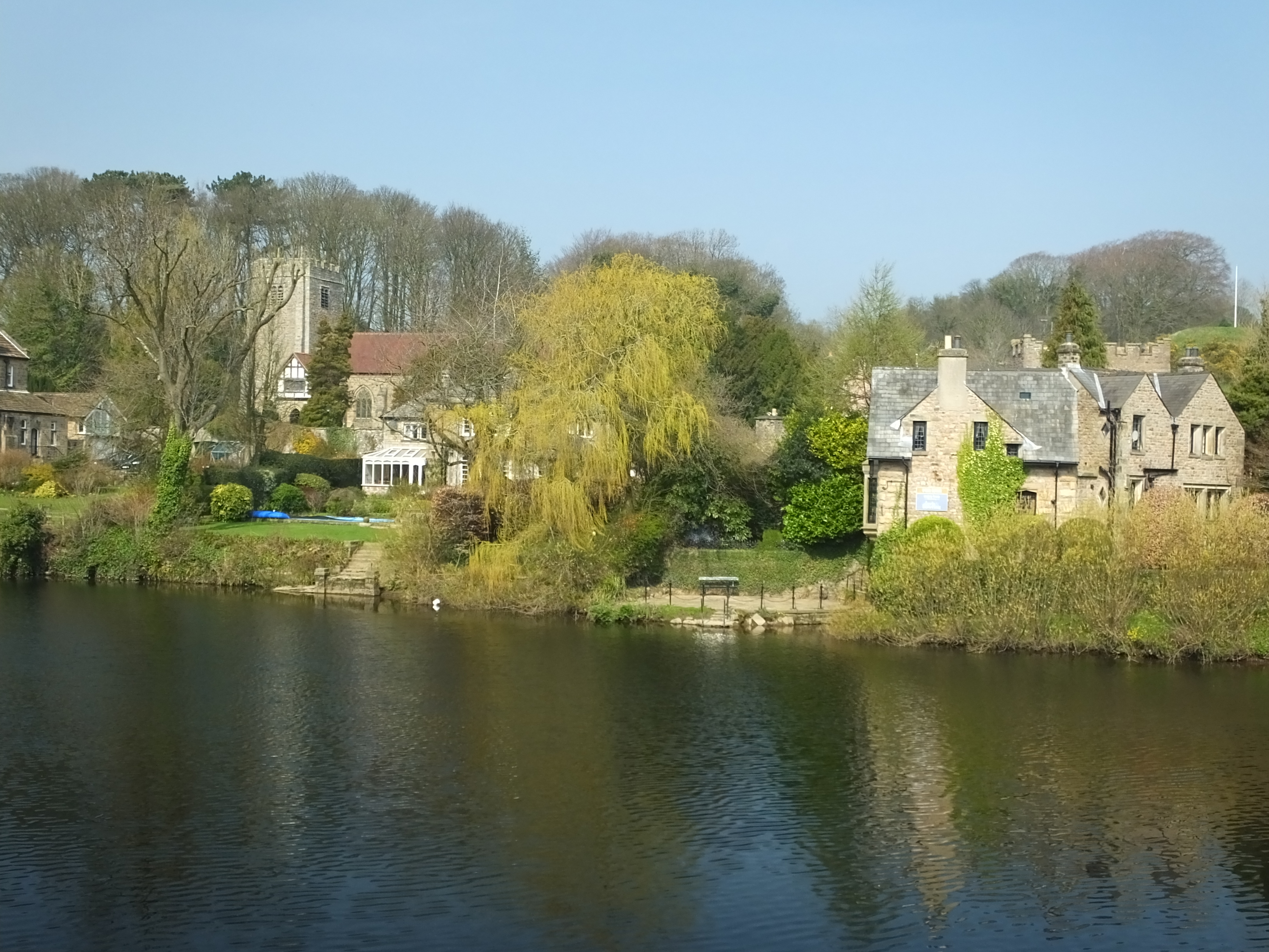
Halton Green is a village located in the county of Lancashire, England. Situated approximately 3 miles east of the city of Lancaster, the village is nestled in the picturesque Lune Valley. With a population of around 1,500 residents, Halton Green has a close-knit community feel.
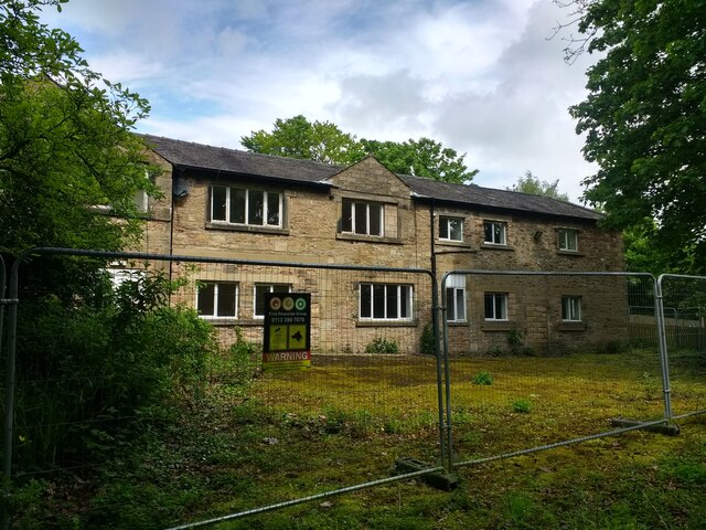
The village boasts a rich history, dating back to medieval times when it was primarily an agricultural settlement. Today, remnants of its past can still be seen in the form of historic buildings and landmarks, including St. Wilfrid's Church, a Grade II listed structure that dates back to the 12th century.
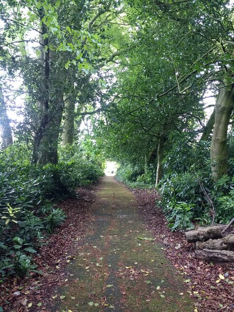
Halton Green offers a peaceful and idyllic countryside setting, surrounded by lush green fields and rolling hills. The village is a haven for nature lovers and outdoor enthusiasts, with numerous walking trails and cycling routes available in the nearby countryside.
The village is well-served by amenities, including a local primary school, a community center, and a village hall that hosts various events and gatherings throughout the year. Additionally, there are a few local shops and pubs that cater to the needs of the residents.
Halton Green benefits from its proximity to Lancaster, which provides additional amenities and services, including secondary schools, shopping centers, and a range of cultural and leisure activities.
Overall, Halton Green offers a tranquil and friendly village lifestyle, with a strong sense of community and a beautiful natural environment.
If you have any feedback on the listing, please let us know in the comments section below.
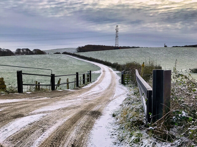
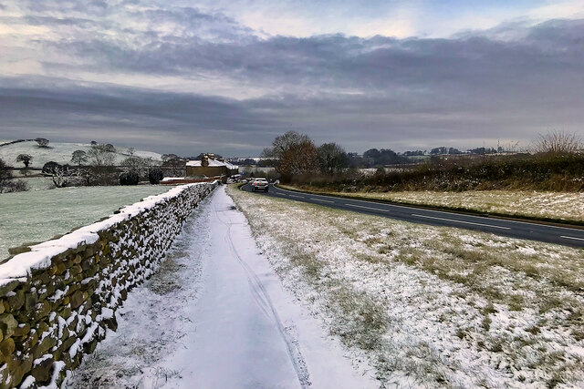
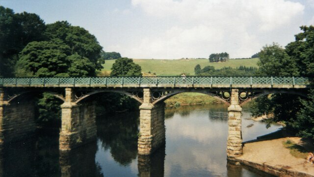
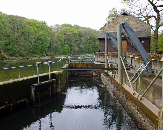
Halton Green Images
Images are sourced within 2km of 54.080916/-2.740967 or Grid Reference SD5165. Thanks to Geograph Open Source API. All images are credited.


Halton Green is located at Grid Ref: SD5165 (Lat: 54.080916, Lng: -2.740967)
Administrative County: Lancashire
District: Lancaster
Police Authority: Lancashire
What 3 Words
///evolution.corrupted.basher. Near Halton, Lancashire
Nearby Locations
Related Wikis
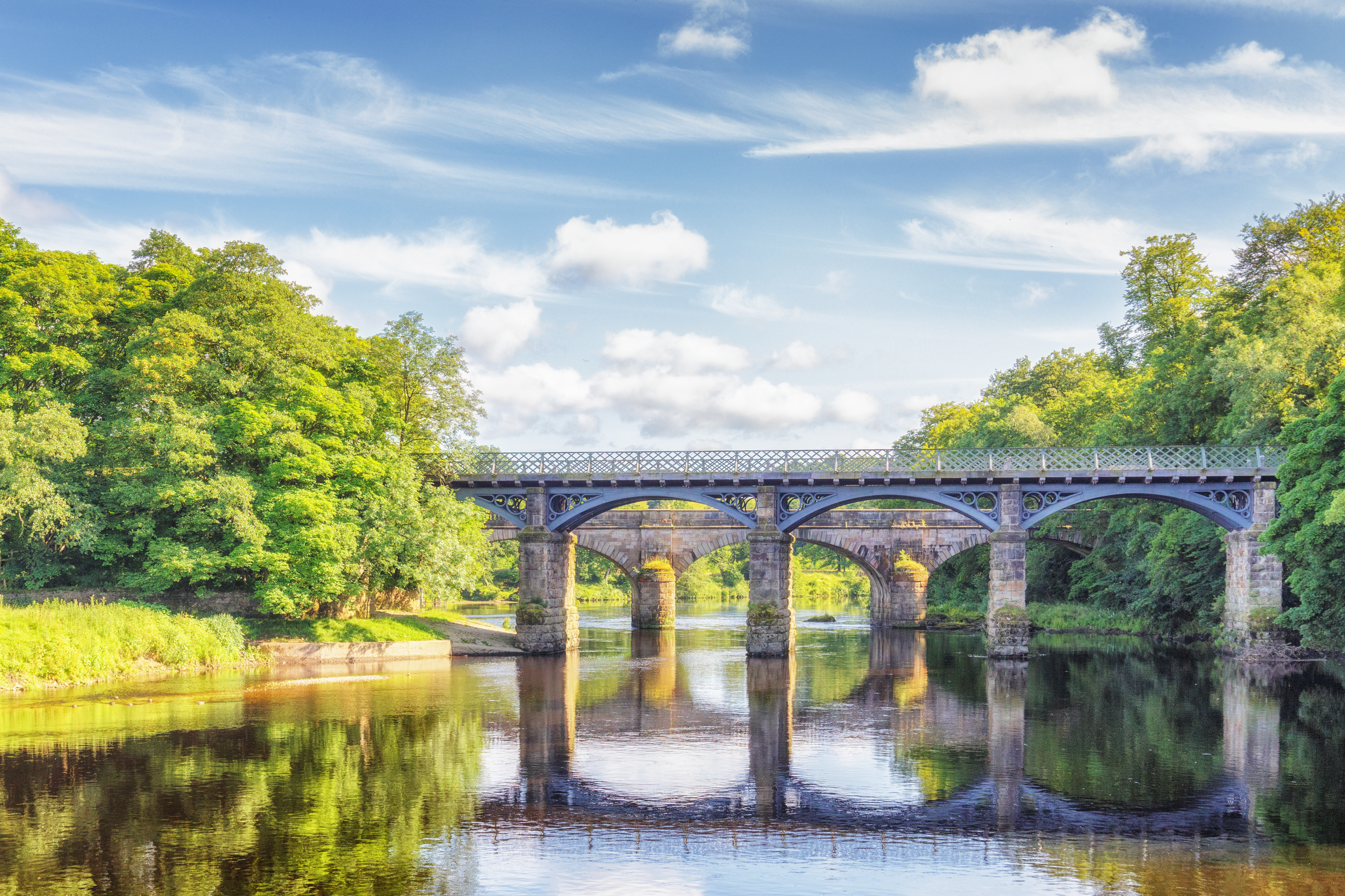
Crook o' Lune
The Crook o' Lune or Crook of Lune, about three miles north-east of Lancaster, Lancashire, is a horseshoe bend of the River Lune, which here meanders through...
North West England
North West England (North West Region) is one of nine official regions of England and consists of the ceremonial counties of Cheshire, Cumbria, Greater...
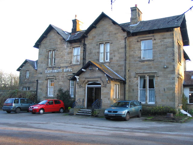
The Scarthwaite Hotel
The Scarthwaite Country House Hotel at Crook O’Lune near Caton in Lancashire is a house of historical significance. It was built in 1858 by Adam Hodgson...
Lancaster University Boat Club
Lancaster University Boat Club (LUBC) is the rowing club of Lancaster University. The club was founded in 1964 with the inception of the university by...
Halton-with-Aughton
Halton-with-Aughton is a civil parish and electoral ward located 3 miles (5 km) east of Lancaster, England, on the north bank of the River Lune. The main...
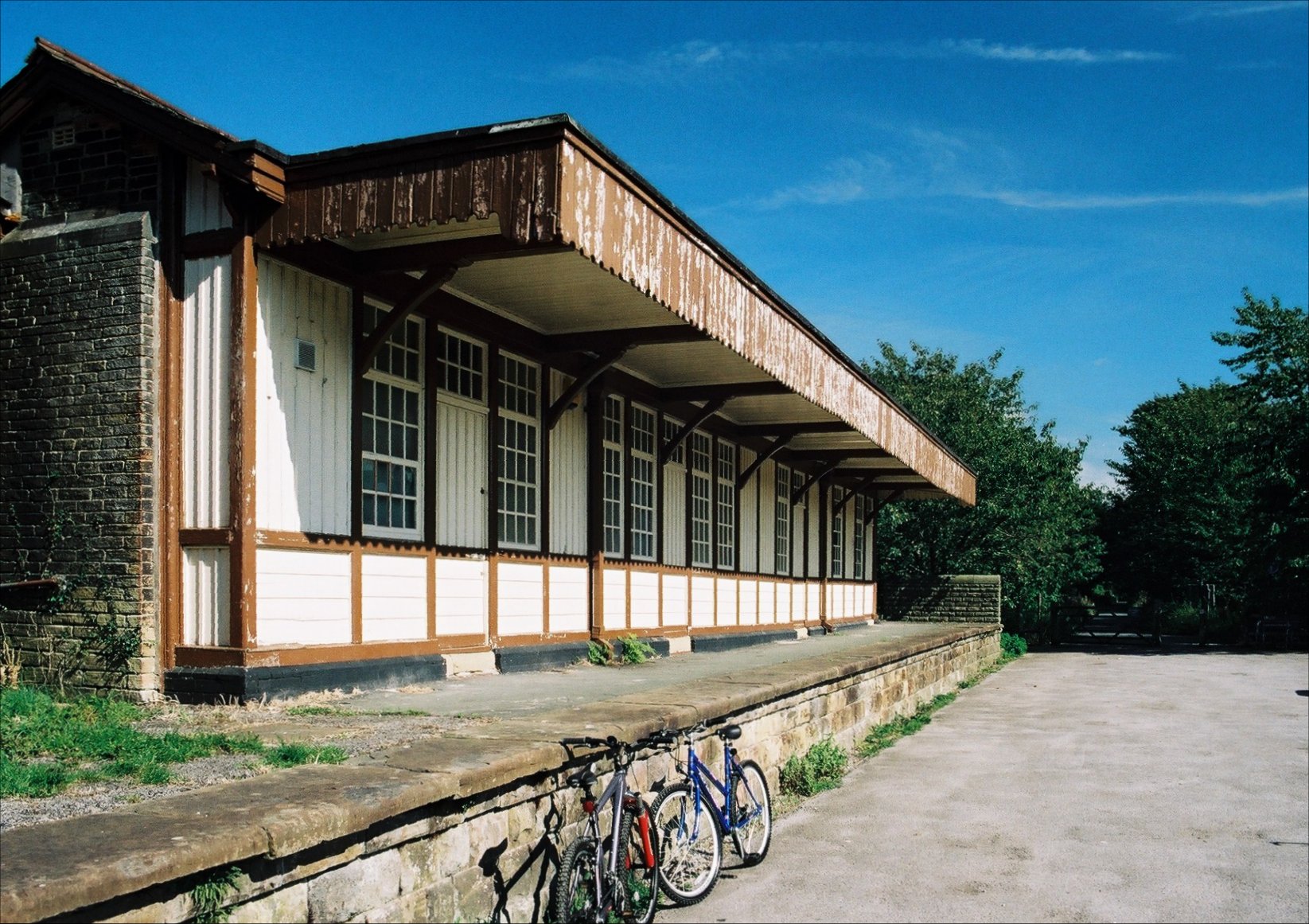
Halton railway station (Lancashire)
Halton railway station served the village of Halton in Lancashire, England. It closed in 1966, but the station building and part of one platform survive...

Caton railway station
Caton railway station served the village of Caton in the City of Lancaster district of Lancashire, England. The station was located near Ball Lane and...

Artle Beck
Artle Beck is a minor river of Lancashire. Rising at the confluence of Udale Beck and Foxdale Beck below Fosdale Bridge and Udale Bridge near Crossgill...
Nearby Amenities
Located within 500m of 54.080916,-2.740967Have you been to Halton Green?
Leave your review of Halton Green below (or comments, questions and feedback).