Haithwaite Moss
Downs, Moorland in Cumberland Carlisle
England
Haithwaite Moss

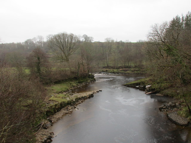
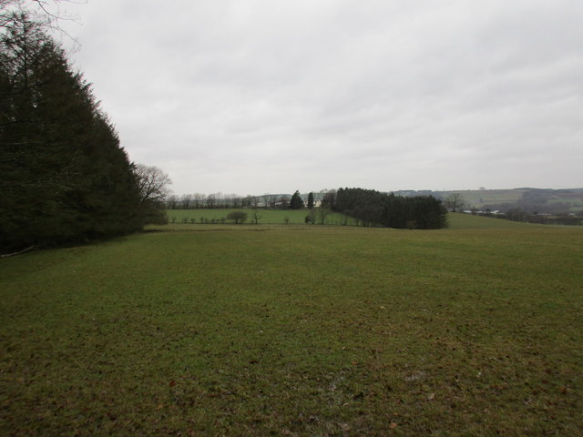
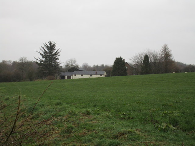
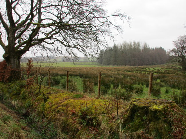
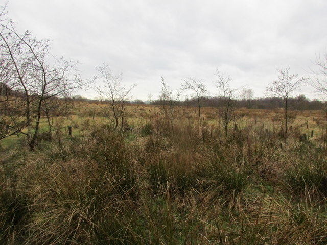
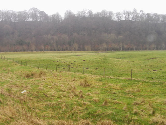
Haithwaite Moss is a vast expanse of moorland situated in Cumberland, England. Located in the western part of the county, it is characterized by its unique landscape and diverse ecosystem. Stretching over an area of several square miles, Haithwaite Moss is a captivating sight that attracts both locals and tourists alike.
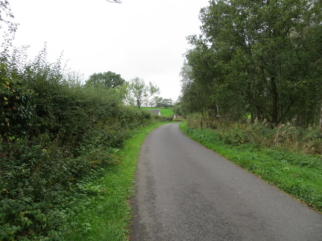
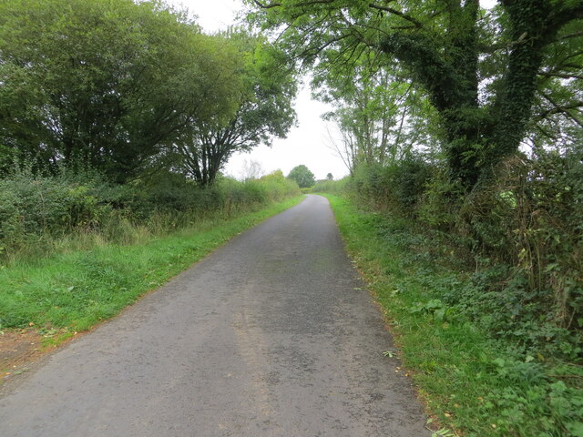
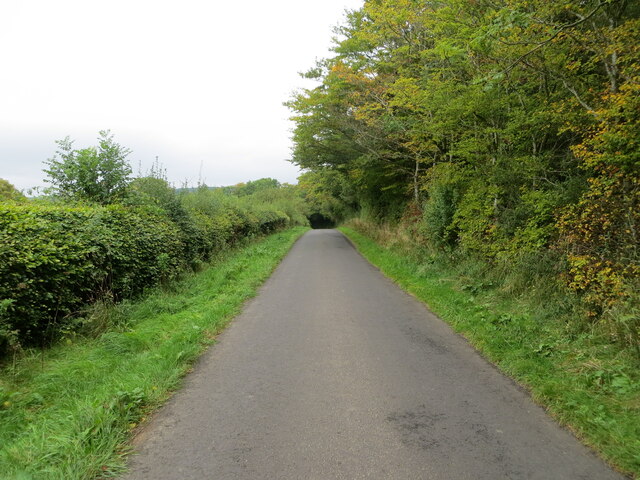
The moss is predominantly covered in heather, which adds a vibrant purple hue to the scenery, especially during the summer months. This plant thrives in the acidic soil found in the area and provides a vital habitat for various wildlife species. Walkers and nature enthusiasts can explore the moss through its network of footpaths and trails, which offer stunning views of the surrounding countryside.
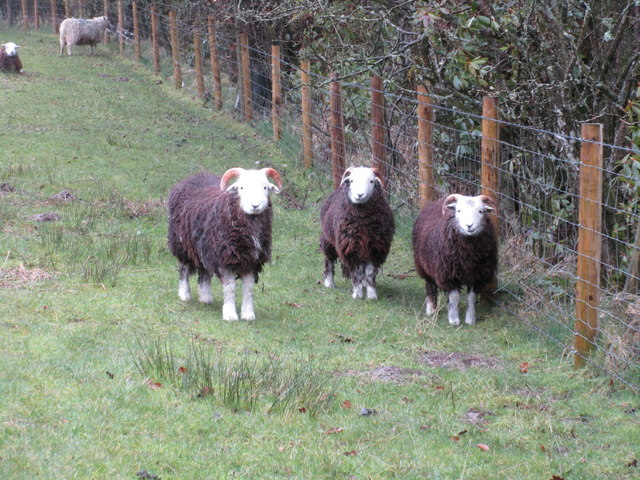
The moss is also home to a wide range of bird species, including curlews, lapwings, and merlins. These birds are attracted to the area due to its abundant food sources and sheltered nesting sites. Ornithologists often visit Haithwaite Moss to observe and study these avian inhabitants.
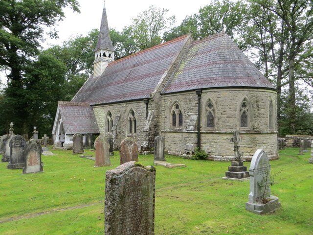
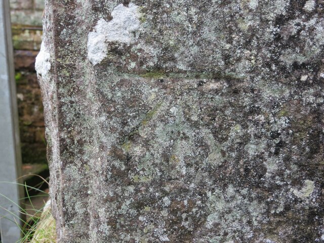
In addition to its natural beauty, Haithwaite Moss has historical significance as well. The remains of ancient settlements and burial grounds can be found within its boundaries, providing insight into the lives of past civilizations. Archaeologists have uncovered artifacts that date back centuries, shedding light on the area's rich cultural heritage.
Overall, Haithwaite Moss is a captivating destination that offers a unique blend of natural beauty and historical significance. Its diverse ecosystem and stunning vistas make it a must-visit location for those seeking a tranquil escape in the heart of Cumberland.
If you have any feedback on the listing, please let us know in the comments section below.
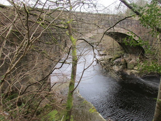
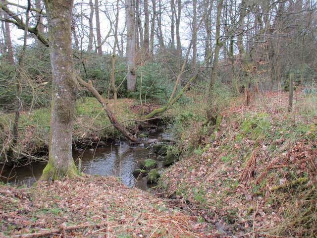
Haithwaite Moss Images
Images are sourced within 2km of 55.081668/-2.8715297 or Grid Reference NY4476. Thanks to Geograph Open Source API. All images are credited.


Haithwaite Moss is located at Grid Ref: NY4476 (Lat: 55.081668, Lng: -2.8715297)
Administrative County: Cumbria
District: Carlisle
Police Authority: Cumbria
What 3 Words
///heeding.spans.abode. Near Longtown, Cumbria
Nearby Locations
Related Wikis

Nicholforest
Nicholforest is a civil parish in Cumbria, England bordering Scotland. The population of the civil parish taken at the 2011 census was 372. The parish...

Catlowdy
Catlowdy is a hamlet in Cumbria, England. It contains the Bessiestown Country Guest House. == References ==
Nook Pasture railway station
Nook Pasture railway station served the village of Canonbie, Dumfriesshire, Scotland, from 1864 to 1873 on the Waverley Line. The station was located...
Rowanburn
Rowanburn is a hamlet in Eskdale, Dumfries and Galloway, Scotland. Located near Canonbie, it sits around 5 miles south-east of Langholm and about a mile...
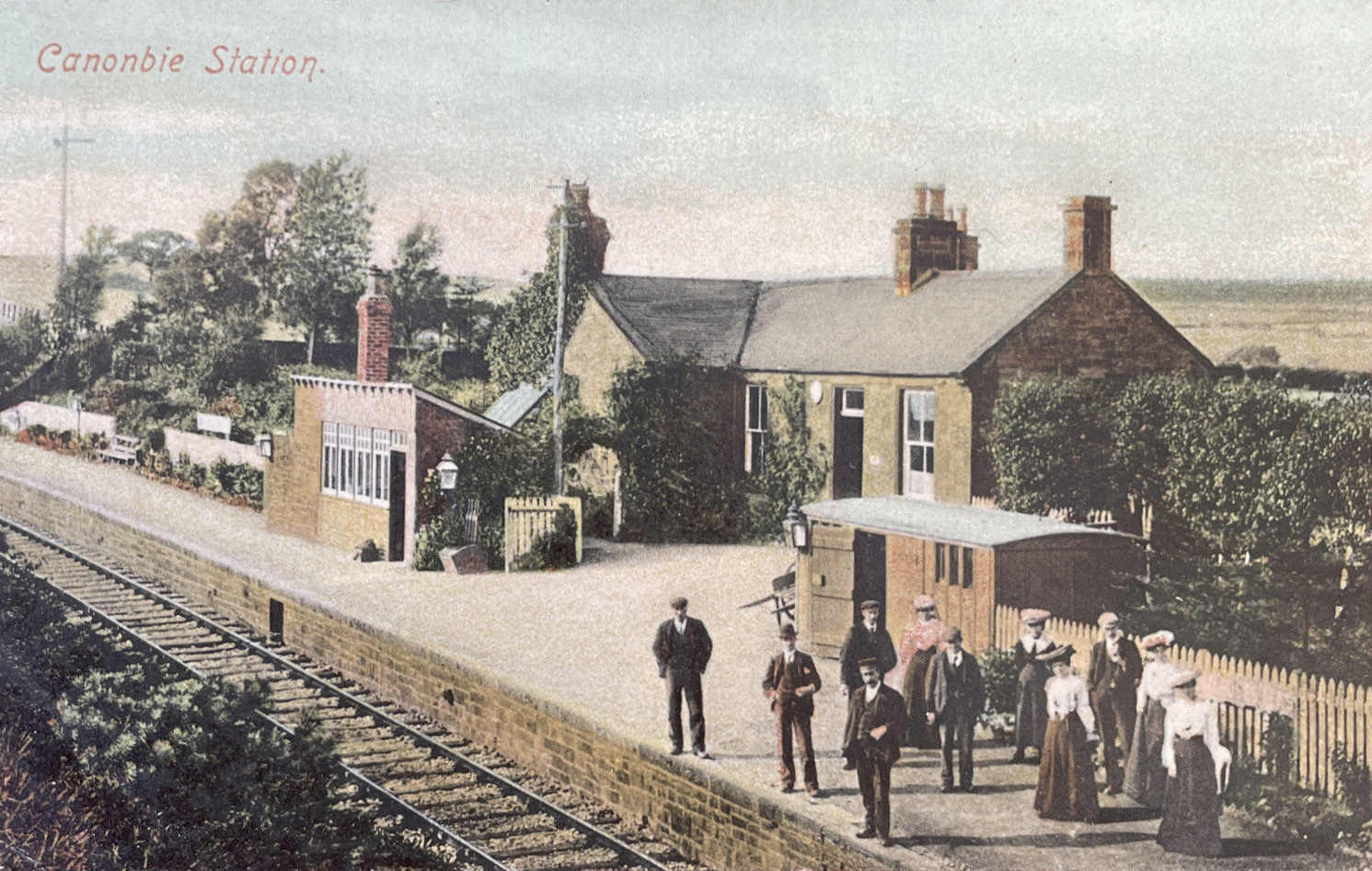
Canonbie railway station
Canonbie railway station served the village of Canonbie, Dumfries and Galloway, Scotland from 1862 to 1967 on the Border Union Railway. == History == The...
Riddings Junction railway station
Riddings Junction railway station was a railway station in Cumbria, England, from 1862 to 1967 on the Border Union Railway. == History == The station opened...
Liddel Strength
Liddel Strength is an ancient monument near Carwinley, Cumbria, in northwest England. It consists of the earthwork remains of an Anglo-Norman border fortification...
Alston Formation
The Alston Formation is a geologic formation in England. It preserves fossils dating back to the Viséan to Serpukhovian (Asbian, Brigantian and Pendleian...
Nearby Amenities
Located within 500m of 55.081668,-2.8715297Have you been to Haithwaite Moss?
Leave your review of Haithwaite Moss below (or comments, questions and feedback).