Jock's Moss

Downs, Moorland in Cumberland Carlisle

England

Jock's Moss

Road at the entrance to Low Glendinning Rigg Looking north-eastward.
Road at the entrance to Low Glendinning Rigg Credit: Peter Wood

Jock's Moss, Cumberland, also known as Jock's Moss Downs or Jock's Moss Moorland, is a vast expanse of moorland located in the county of Cumberland, England. Covering an area of approximately 500 acres, it is situated in the northern part of the county, near the border with Scotland.

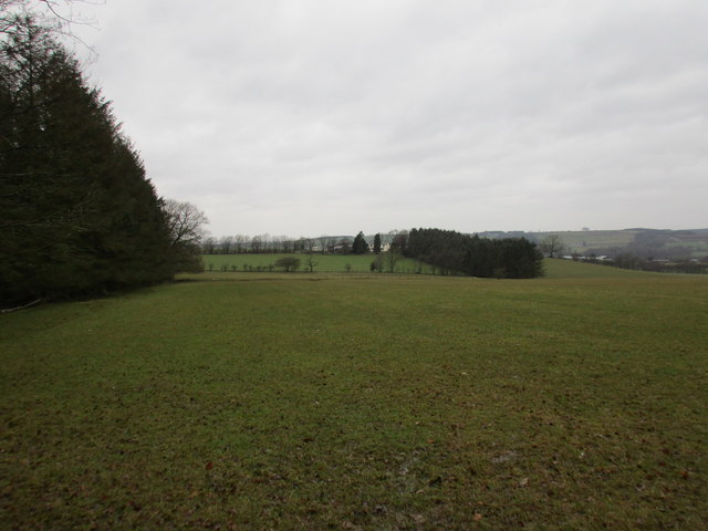
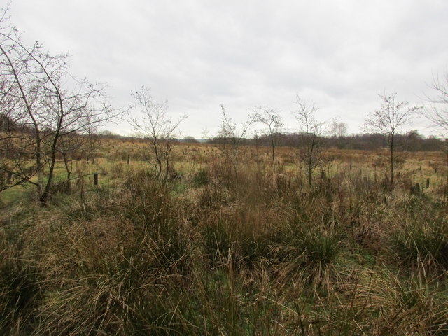
Jock's Moss is characterized by its rugged and undulating terrain, with rolling hills and deep valleys, giving it a picturesque and wild appearance. The area is predominantly covered with heather and grasses, providing habitat for a variety of flora and fauna.

The moorland is known for its rich biodiversity, with a range of plant species including heather, bilberry, and cotton grass. It is also home to several species of birds, such as curlews, lapwings, and golden plovers, as well as various small mammals like rabbits and voles.

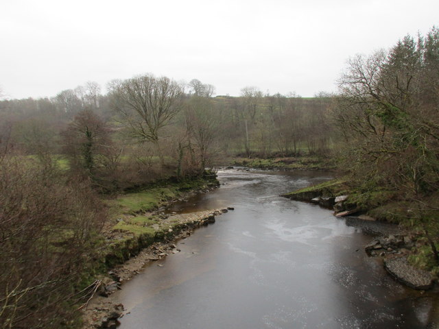
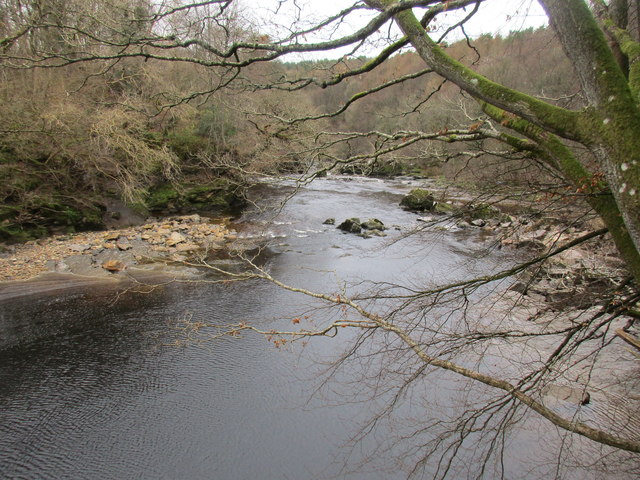
Jock's Moss is often frequented by nature enthusiasts, hikers, and birdwatchers, who appreciate its natural beauty and tranquility. The moorland offers stunning panoramic views of the surrounding countryside, including the nearby Solway Firth and the Scottish hills beyond.

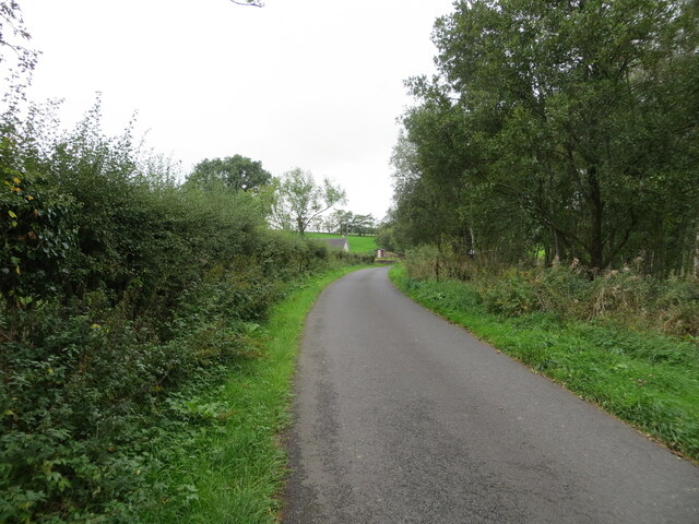
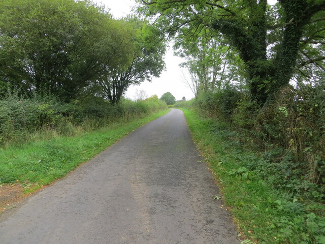
Despite its remote location, Jock's Moss is easily accessible by foot or vehicle, with several walking trails and bridleways crisscrossing the area. The moorland also forms part of a larger network of protected areas, ensuring its conservation for future generations to enjoy.

If you have any feedback on the listing, please let us know in the comments section below.

Jock's Moss Images

Images are sourced within 2km of 55.07585/-2.872014 or Grid Reference NY4476. Thanks to Geograph Open Source API. All images are credited.

Road at the entrance to Low Glendinning Rigg Looking north-eastward.
Road at the entrance to Low Glendinning Rigg
Looking north-eastward.
Hedge enclosed road Looking north-eastward from the entrance to Beyond-the-Wood.
Hedge enclosed road
Looking north-eastward from the entrance to Beyond-the-Wood.
Tree and hedge enclosed minor road near to Haithwaite Looking south-westward.
Tree and hedge enclosed minor road near to Haithwaite
Looking south-westward.
Tree and hedge enclosed minor road near to Haithwaite Looking north-eastward.
Tree and hedge enclosed minor road near to Haithwaite
Looking north-eastward.
Woodland track Leads eventually to a road which links with the B6357.
Woodland track
Leads eventually to a road which links with the B6357.
Liddel Water at Penton Bridge Looking upstream.
Liddel Water at Penton Bridge
Looking upstream.
View towards Haithwaite The hills in the distance are across the border in Scotland.
View towards Haithwaite
The hills in the distance are across the border in Scotland.
Haithwaite Moss One of many such mosses in this area.
Haithwaite Moss
One of many such mosses in this area.
Liddel Water at Penton Bridge Looking downstream.
Liddel Water at Penton Bridge
Looking downstream.
Penton Bridge Carries the B6318 over Liddel Water.
Penton Bridge
Carries the B6318 over Liddel Water.
Liddel Water Looking downstream from Penton Bridge.
Liddel Water
Looking downstream from Penton Bridge.
Above Liddel Water Footpath through woodland near Penton Bridge.
Above Liddel Water
Footpath through woodland near Penton Bridge.
Footbridge across a burn
Small burn Drops about 15 metres to join the Liddel Water.
Small burn
Drops about 15 metres to join the Liddel Water.
Footbridge across Loup Sike
View down to rocks in Liddel Water
Path above Liddel water
Driveway leading to an overbridge of the former Waverley line
Show me another place!

Jock's Moss is located at Grid Ref: NY4476 (Lat: 55.07585, Lng: -2.872014)

Administrative County: Cumbria

District: Carlisle

Police Authority: Cumbria

What 3 Words

///visitor.heartburn.multiple. Near Longtown, Cumbria

Related Wikis

Catlowdy

Catlowdy is a hamlet in Cumbria, England. It contains the Bessiestown Country Guest House. == References ==

Nicholforest

Nicholforest is a civil parish in Cumbria, England bordering Scotland. The population of the civil parish taken at the 2011 census was 372. The parish...

Nook Pasture railway station

Nook Pasture railway station served the village of Canonbie, Dumfriesshire, Scotland, from 1864 to 1873 on the Waverley Line. The station was located...

Rowanburn

Rowanburn is a hamlet in Eskdale, Dumfries and Galloway, Scotland. Located near Canonbie, it sits around 5 miles south-east of Langholm and about a mile...

Nearby Amenities

Located within 500m of 55.07585,-2.872014
Bus Stop
Warwicksland road end
Local Ref: AT
Naptan AtcoCode: 090033301365
Naptan Bearing: N
Naptan BusStopType: CUS
Naptan CommonName: Warwicksland road end
Naptan Indicator: at
Naptan Landmark: junction to Warwicksland-Easton
Naptan NaptanCode: cumatatd
Naptan Street: B6318
Naptan Verified: no
Source: naptan_import
Lat/Long: 55.0775262/-2.8671555
Power: pole
Lat/Long: 55.0731125/-2.8670381
Power: pole
Lat/Long: 55.0731481/-2.8674813
Power: pole
Lat/Long: 55.0733058/-2.8695846
Power: pole
Lat/Long: 55.0739381/-2.8709452
Power: pole
Lat/Long: 55.0744469/-2.872131
Power: pole
Lat/Long: 55.0750243/-2.8734006
Power: pole
Lat/Long: 55.0756195/-2.874723
Power: pole
Lat/Long: 55.0762394/-2.8761052
Power: pole
Lat/Long: 55.0768538/-2.8774539
Power: pole
Lat/Long: 55.0774723/-2.878769
Power: pole
Lat/Long: 55.0780393/-2.8663734
The data included in this document is from www.openstreetmap.org. The data is made available under ODbL.

Have you been to Jock's Moss?

Leave your review of Jock's Moss below (or comments, questions and feedback).