Whit Moor
Downs, Moorland in Somerset South Somerset
England
Whit Moor
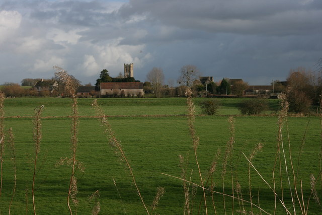
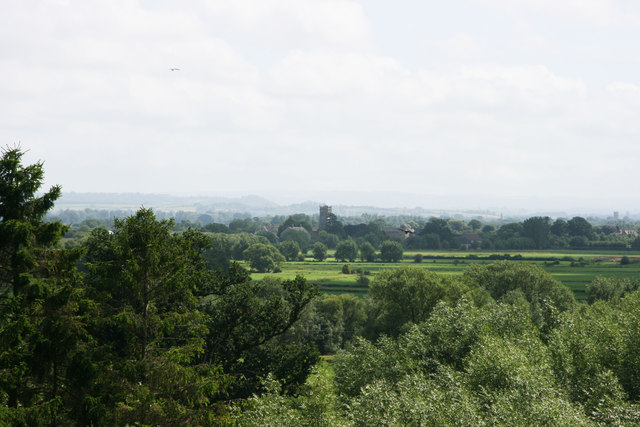
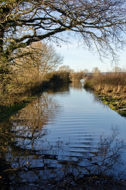
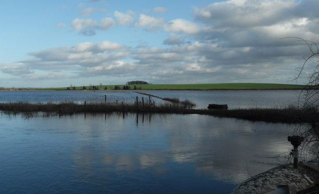
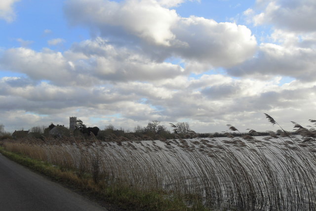
Whit Moor is a picturesque area located in Somerset, England. Situated on the outskirts of the Mendip Hills, it is known for its stunning natural beauty and diverse wildlife. Covering a vast expanse of land, Whit Moor is a combination of downs and moorland, offering a unique and varied landscape.
The area is characterized by rolling hills, heather-clad moors, and scattered patches of woodland. The moorland is home to a wide range of plant species, including heather, gorse, and bilberry, creating a vibrant and colorful environment. The downs, on the other hand, are characterized by grassy slopes and panoramic views of the surrounding countryside.
Whit Moor is a haven for nature enthusiasts and birdwatchers, with its diverse bird population. Visitors may spot species such as skylarks, lapwings, and kestrels soaring above the open landscape. Additionally, the moorland is home to several rare and protected species, including the Exmoor pony, which can often be seen grazing peacefully.
Aside from its natural beauty, Whit Moor also offers recreational opportunities for visitors. Popular activities include hiking, horseback riding, and cycling. Numerous trails crisscross the area, allowing visitors to explore the stunning scenery and enjoy the tranquility of the countryside.
Overall, Whit Moor is a remarkable destination that showcases the beauty and diversity of Somerset's landscape. Its unique combination of downs and moorland, along with its rich wildlife, make it a must-visit location for nature enthusiasts and those seeking a peaceful escape from the hustle and bustle of everyday life.
If you have any feedback on the listing, please let us know in the comments section below.
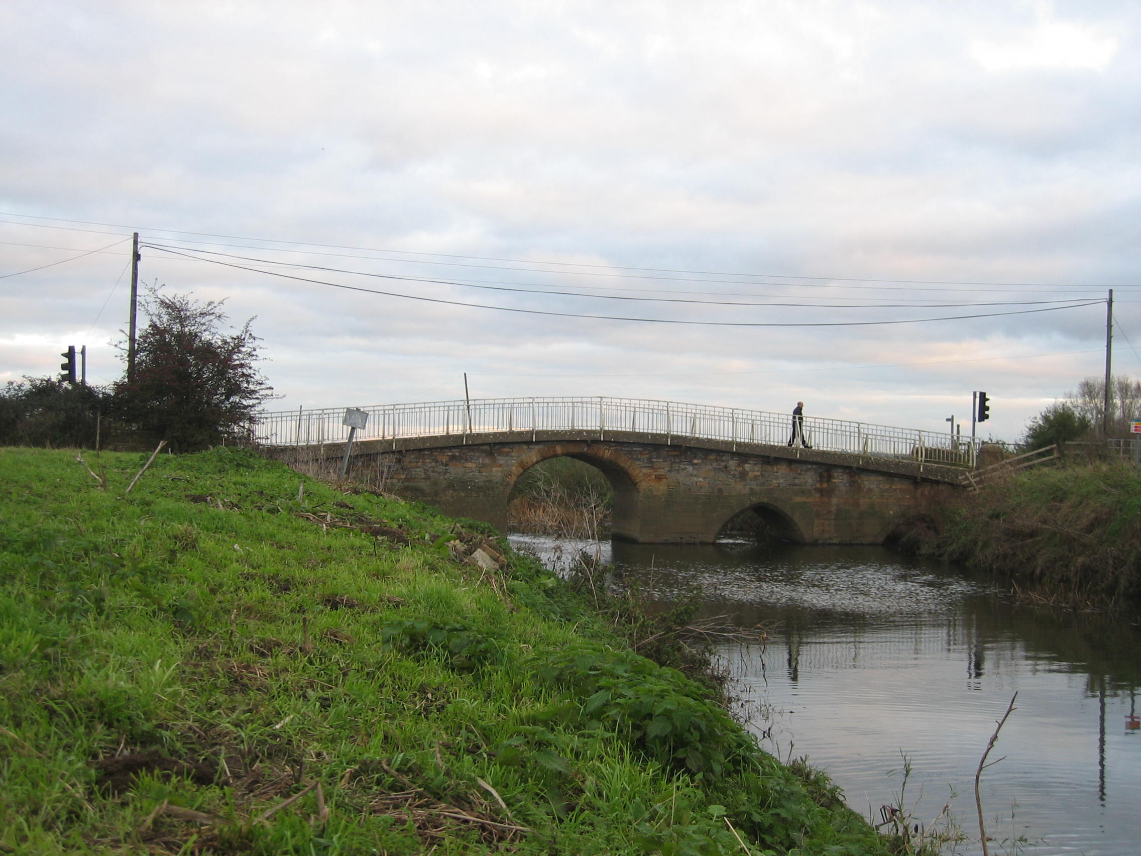
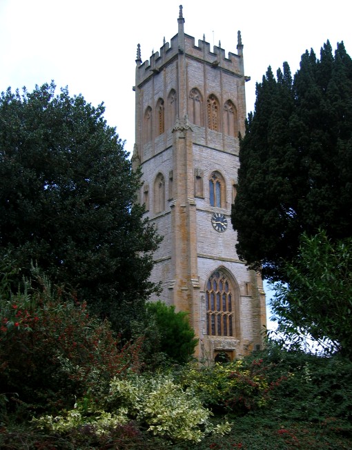
Whit Moor Images
Images are sourced within 2km of 51.016066/-2.7930841 or Grid Reference ST4424. Thanks to Geograph Open Source API. All images are credited.


Whit Moor is located at Grid Ref: ST4424 (Lat: 51.016066, Lng: -2.7930841)
Administrative County: Somerset
District: South Somerset
Police Authority: Avon and Somerset
What 3 Words
///swarm.cube.celebrate. Near Langport, Somerset
Nearby Locations
Related Wikis

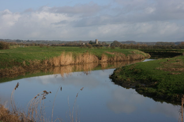
Wet Moor
Wet Moor (grid reference ST448244) is a 491.0-hectare (1214.0 acre) biological Site of Special Scientific Interest east of Muchelney in Somerset, notified...

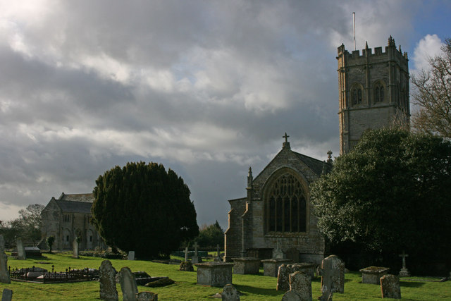
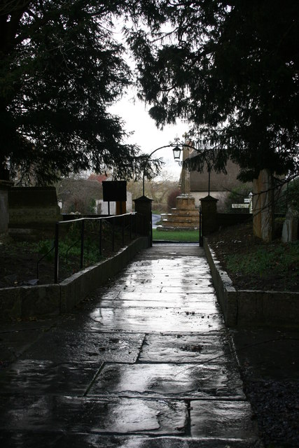
Church of St Peter and St Paul, Muchelney
The Church of St Peter and St Paul in Muchelney, Somerset, England, has Saxon origins, however the current building largely dates from the 15th century...
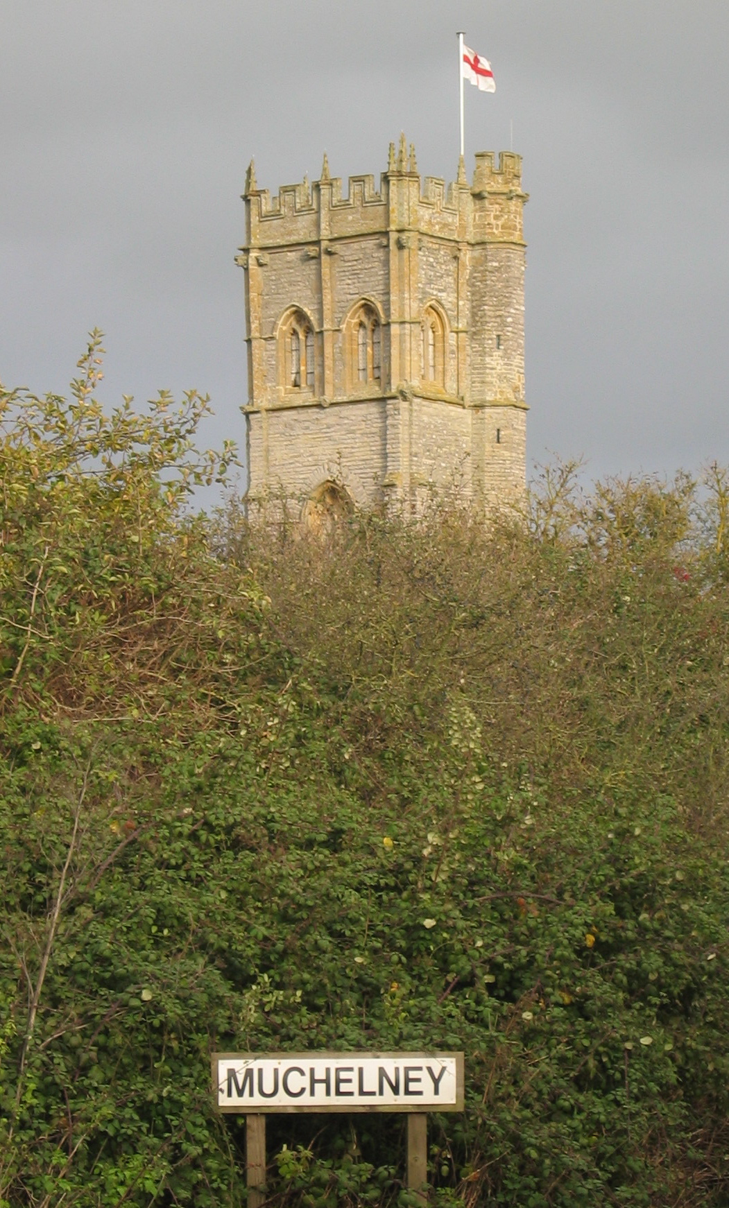
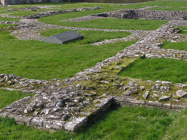
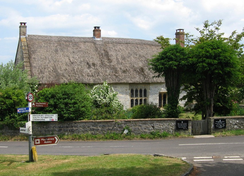
Muchelney
Muchelney () is a clustered village and civil parish in Somerset, England, extending for 3 kilometres (1.9 mi) from the south bank of the River Parrett...
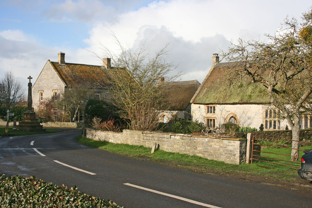
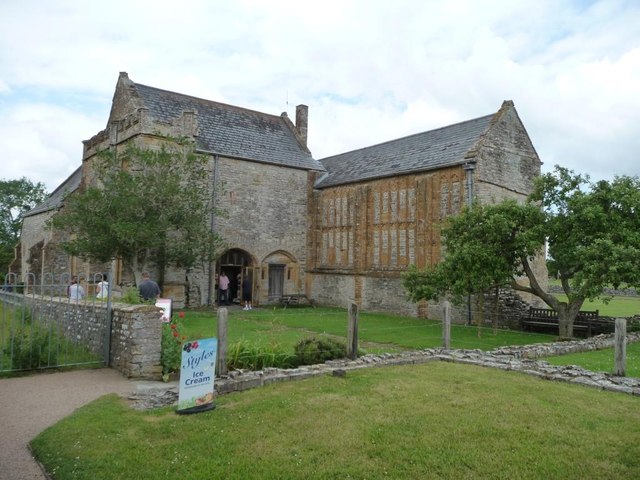
The Priest's House, Muchelney
The Priest's House is a National Trust-owned property in Muchelney, in the English county of Somerset. It has been designated as a grade II listed building...
Long Load
Long Load is a village and parish in Somerset, England, situated on the River Yeo 5 miles (8.0 km) south of Somerton in the South Somerset district. The...

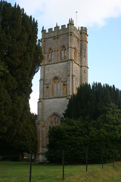
Christ Church, Long Load
Christ Church is a former Church of England church in Long Load, Somerset, England. Designed by Charles Edmund Giles, it was built in 1854–1856 on the...

Huish Episcopi
Huish Episcopi is a village and civil parish in Somerset, England, situated on the outskirts of Langport, 4 miles (6.4 km) south west of Somerton. The...
Long Sutton, Somerset
Long Sutton is a village and civil parish in Somerset, England, situated 4 miles (6.4 km) south of Somerton in the South Somerset district. The village...
Nearby Amenities
Located within 500m of 51.016066,-2.7930841Have you been to Whit Moor?
Leave your review of Whit Moor below (or comments, questions and feedback).