Halton
Settlement in Lancashire Lancaster
England
Halton

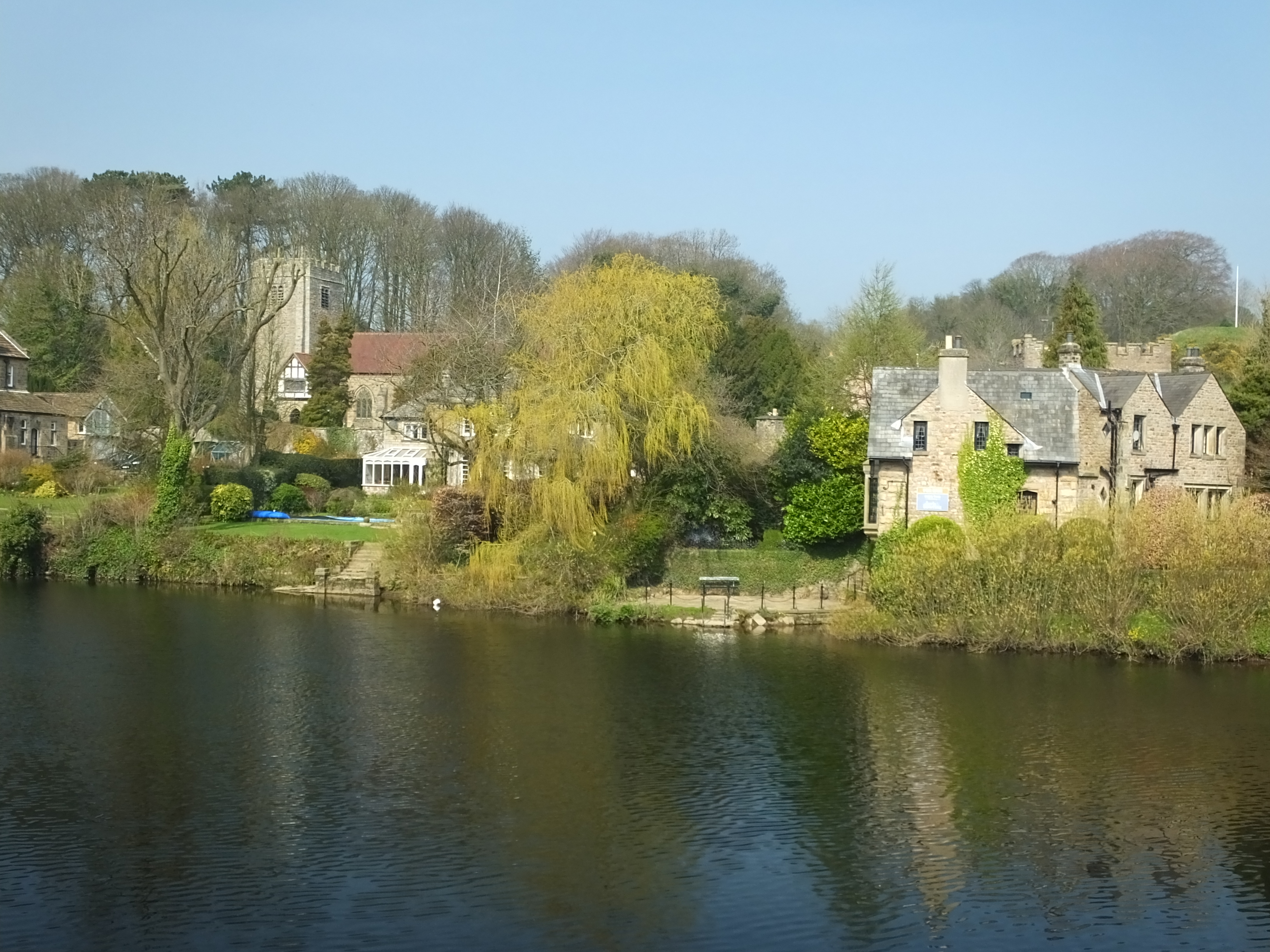
Halton is a village located in the county of Lancashire, England. Situated on the banks of the River Lune, it is part of the larger district of Lancaster. The village has a population of around 5,000 residents.
Halton has a rich history that dates back to the medieval times, with evidence of settlements in the area since the 12th century. The village was once known for its agriculture, with farming playing a significant role in the local economy. However, over the years, the village has transformed into a residential area, attracting families and professionals looking for a peaceful and picturesque place to live.
The village is well-connected to the surrounding areas, with easy access to the M6 motorway and the nearby city of Lancaster. It offers a range of amenities, including shops, pubs, and a primary school, catering to the needs of its residents.
One of the notable landmarks in Halton is the Halton Castle, a Grade I listed building that dates back to the 14th century. Although it is now mostly in ruins, the castle remains an important historical site, attracting visitors interested in exploring its medieval architecture.
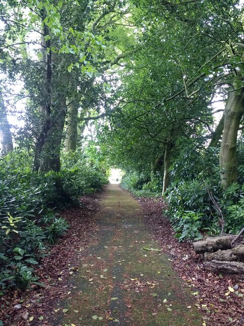
The village is surrounded by beautiful natural landscapes, making it an ideal location for outdoor enthusiasts. The River Lune offers opportunities for fishing and boating, while the nearby Forest of Bowland provides ample space for hiking, cycling, and wildlife spotting.
Overall, Halton is a charming village with a rich history, offering a tranquil and scenic setting for its residents and visitors alike.
If you have any feedback on the listing, please let us know in the comments section below.
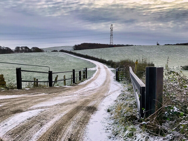
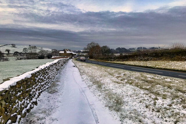
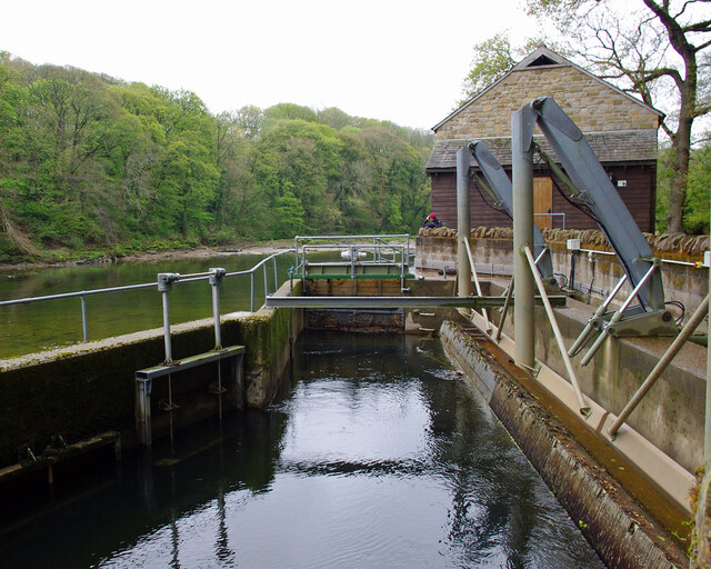
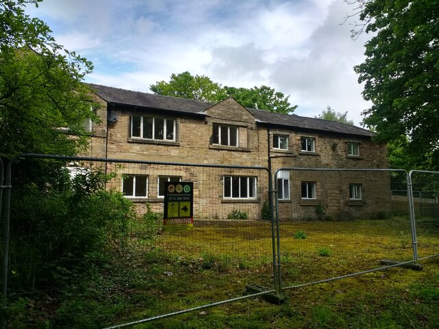
Halton Images
Images are sourced within 2km of 54.076835/-2.7645055 or Grid Reference SD5064. Thanks to Geograph Open Source API. All images are credited.


Halton is located at Grid Ref: SD5064 (Lat: 54.076835, Lng: -2.7645055)
Administrative County: Lancashire
District: Lancaster
Police Authority: Lancashire
What 3 Words
///tasks.many.climate. Near Halton, Lancashire
Nearby Locations
Related Wikis
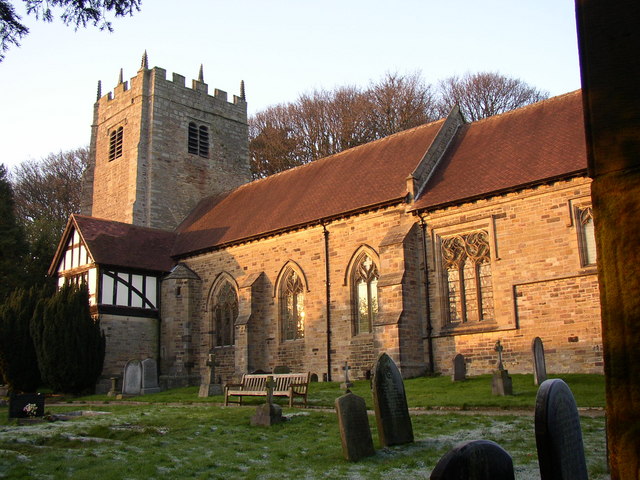
St Wilfrid's Church, Halton-on-Lune
St Wilfrid's Church is an Anglican church in Halton-on-Lune, a village in the English county of Lancashire. It is an active parish church in the Diocese...
Halton-with-Aughton
Halton-with-Aughton is a civil parish and electoral ward located 3 miles (5 km) east of Lancaster, England, on the north bank of the River Lune. The main...
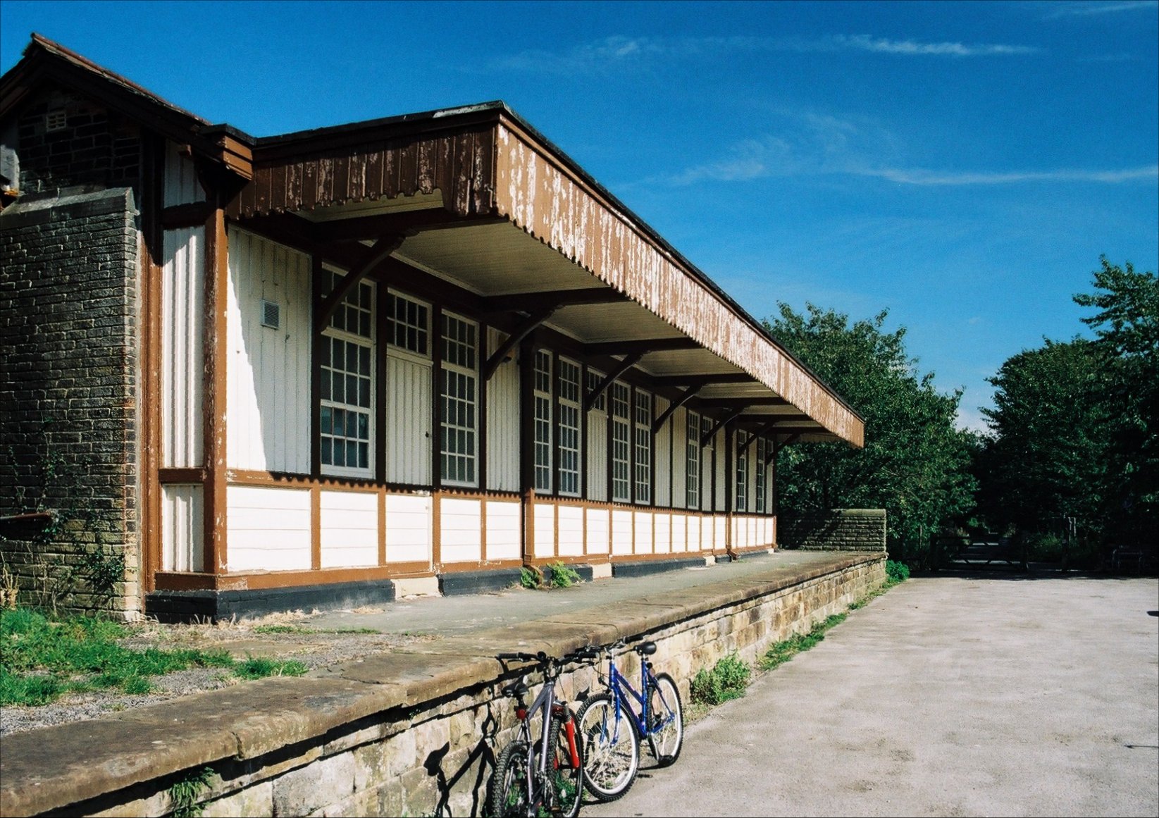
Halton railway station (Lancashire)
Halton railway station served the village of Halton in Lancashire, England. It closed in 1966, but the station building and part of one platform survive...
Lancaster University Boat Club
Lancaster University Boat Club (LUBC) is the rowing club of Lancaster University. The club was founded in 1964 with the inception of the university by...
North West England
North West England (North West Region) is one of nine official regions of England and consists of the ceremonial counties of Cheshire, Cumbria, Greater...

Lune Aqueduct
The Lune Aqueduct is a navigable aqueduct that carries the Lancaster Canal over the River Lune, on the east side of the city of Lancaster in Lancashire...

Lancaster power stations
The Lancaster power stations provided electricity to the Lancashire town and city of Lancaster and the surrounding area from 1894 to 1976. The first power...
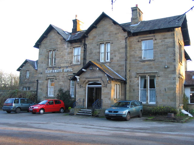
The Scarthwaite Hotel
The Scarthwaite Country House Hotel at Crook O’Lune near Caton in Lancashire is a house of historical significance. It was built in 1858 by Adam Hodgson...
Nearby Amenities
Located within 500m of 54.076835,-2.7645055Have you been to Halton?
Leave your review of Halton below (or comments, questions and feedback).