Halton
Settlement in Yorkshire
England
Halton

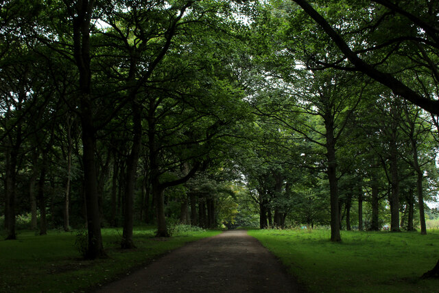
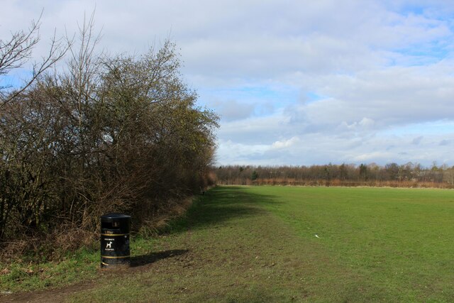
Halton is a small village located in the county of Yorkshire, England. Situated in the district of Selby, it lies approximately 9 miles east of the town of Selby and 12 miles south of the historic city of York. The village is surrounded by picturesque countryside, with rolling hills and open fields, offering a tranquil and scenic setting.
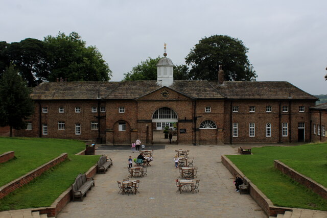
Halton has a rich history, dating back to medieval times. It is home to St. Wilfrid's Church, a Grade I listed building, which was built in the 12th century and is known for its impressive architecture and stained glass windows. The village also features several other historic buildings, including Halton Hall, a grand manor house that dates back to the 17th century.
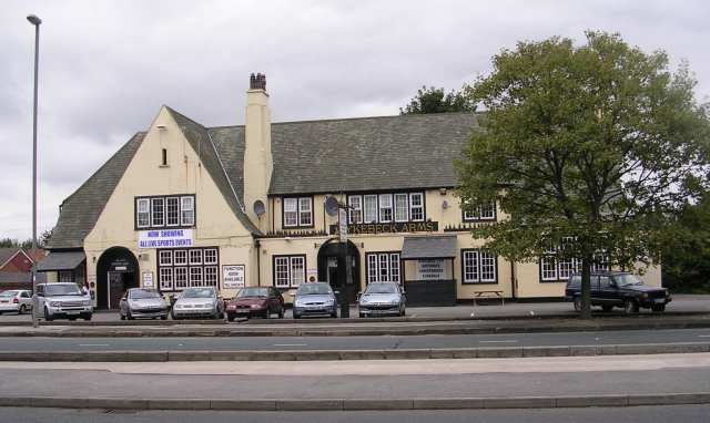
Despite its small size, Halton offers a range of amenities for residents and visitors alike. The village has a primary school, a community hall, and a local pub, providing a sense of community and social gathering spaces. Additionally, there are various walking trails and footpaths in the surrounding area, allowing nature enthusiasts to explore the beautiful countryside.
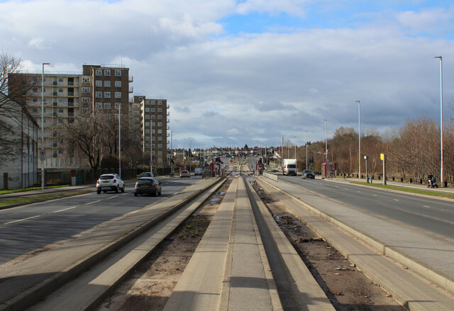
Halton benefits from its strategic location, with easy access to major transport routes. The A63 road runs through the village, connecting it to nearby towns and cities, while the M62 motorway is just a short drive away, providing convenient links to Leeds, Manchester, and beyond.
In summary, Halton is a charming village in Yorkshire, renowned for its historic buildings, scenic landscapes, and community spirit.
If you have any feedback on the listing, please let us know in the comments section below.
Halton Images
Images are sourced within 2km of 53.795745/-1.472415 or Grid Reference SE3433. Thanks to Geograph Open Source API. All images are credited.


Halton is located at Grid Ref: SE3433 (Lat: 53.795745, Lng: -1.472415)
Division: West Riding
Unitary Authority: Leeds
Police Authority: West Yorkshire
What 3 Words
///spared.float.wisdom. Near Scholes, West Yorkshire
Nearby Locations
Related Wikis
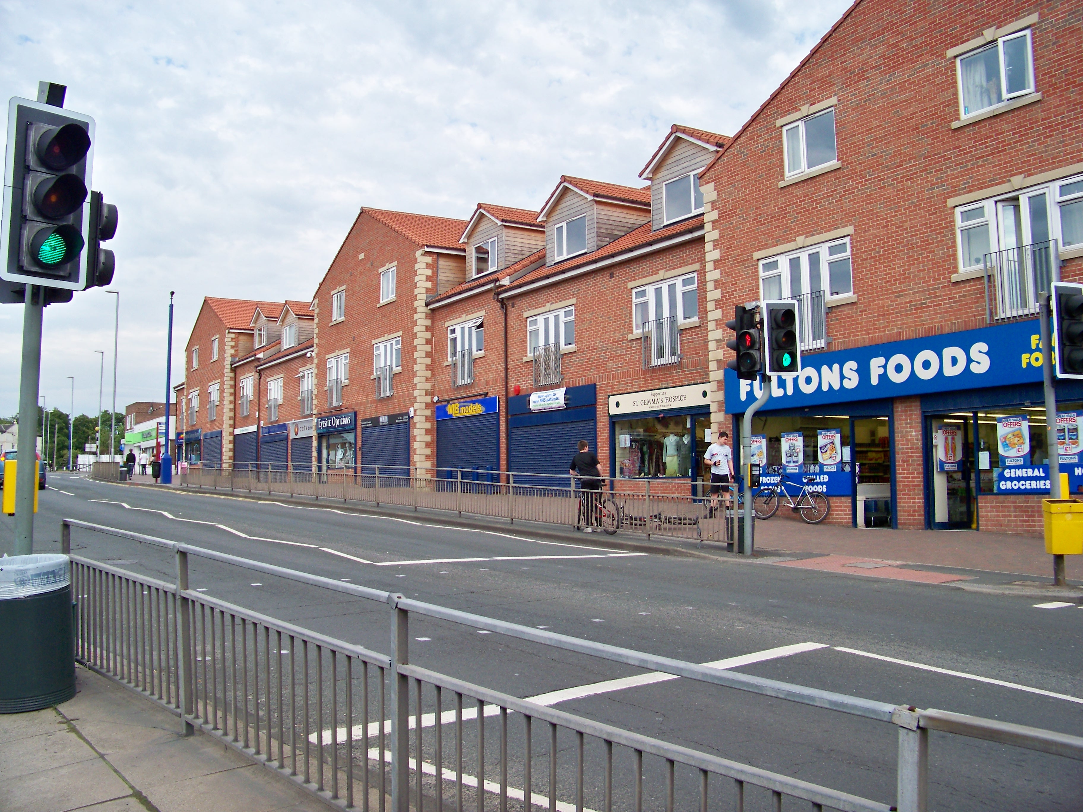
Halton, Leeds
Halton is a district of east Leeds, West Yorkshire, England, situated between Cross Gates to the north, Halton Moor to the west, Colton to the east and...
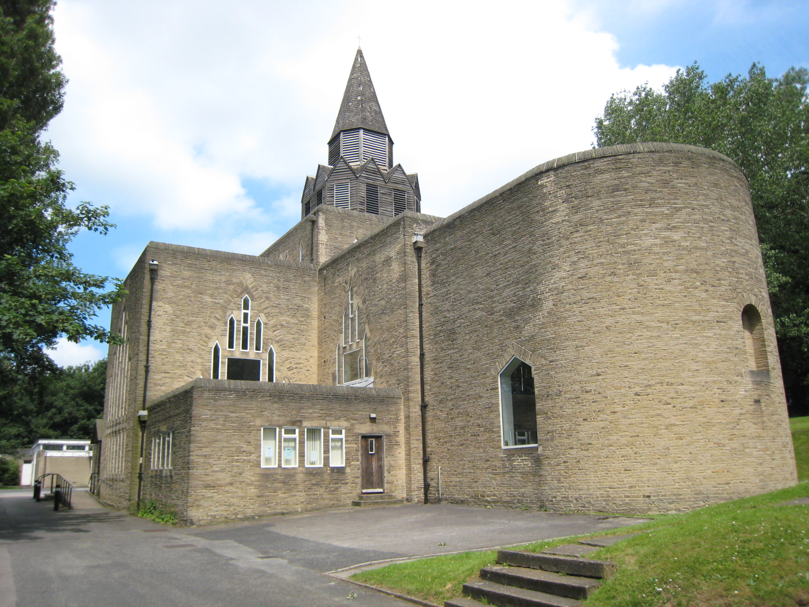
St Wilfrid's Church, Halton, Leeds
St Wilfrid's Church, Halton was designed by Albert Randall Wells and built between 1937 and 1939. It is situated in the 1930s suburb of Halton in Leeds...
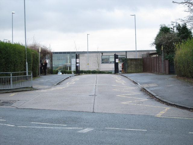
Temple Moor High School
Temple Moor High School is a coeducational secondary school and sixth form located in Leeds, West Yorkshire, England. In recent years, it has received...
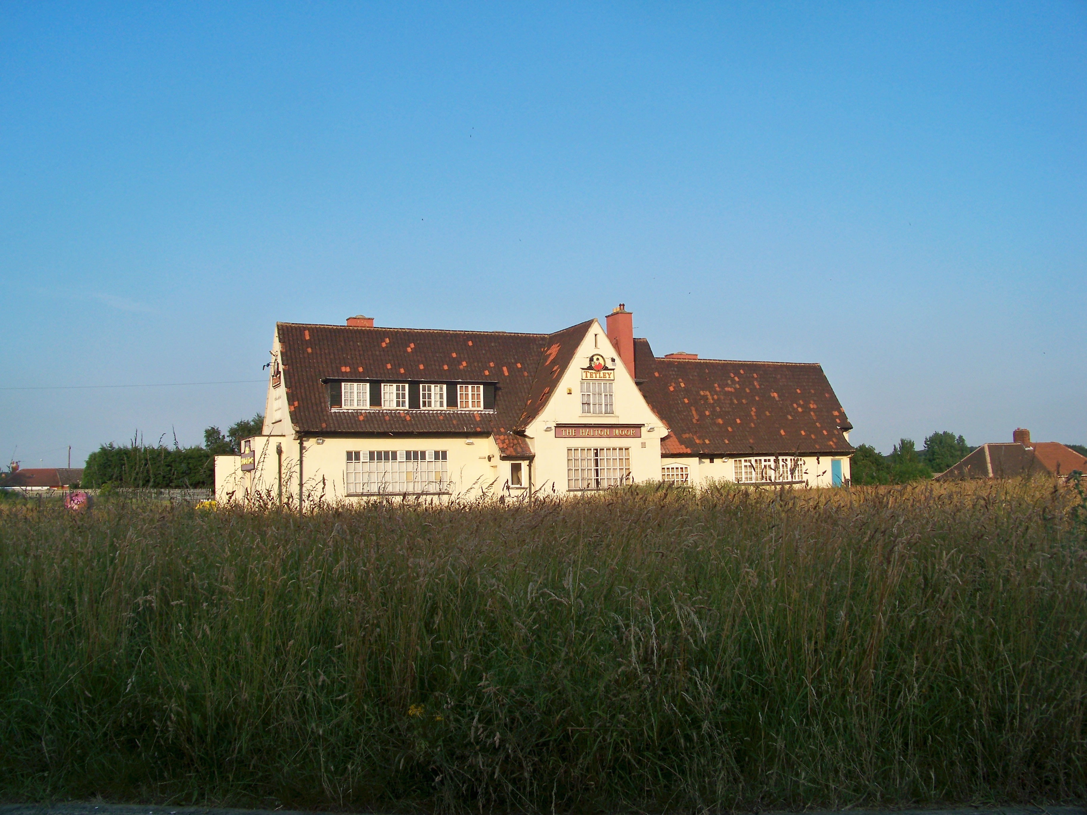
Halton Moor
Halton Moor is a district of east Leeds, West Yorkshire, England, about three miles east of Leeds city centre close to the A63. It is situated between...

Corpus Christi Catholic College
Corpus Christi Catholic College is a co-educational secondary school located in Halton Moor, Leeds, West Yorkshire, England. The school currently has a...

Killingbeck
Killingbeck is a district of east Leeds, West Yorkshire, England named after the Killingbeck family, historic local landowners, and is situated between...
Wykebeck
Wykebeck is an area of east Leeds, West Yorkshire, England named after the Wyke Beck and situated between Gipton and Seacroft along Wykebeck Road. The...
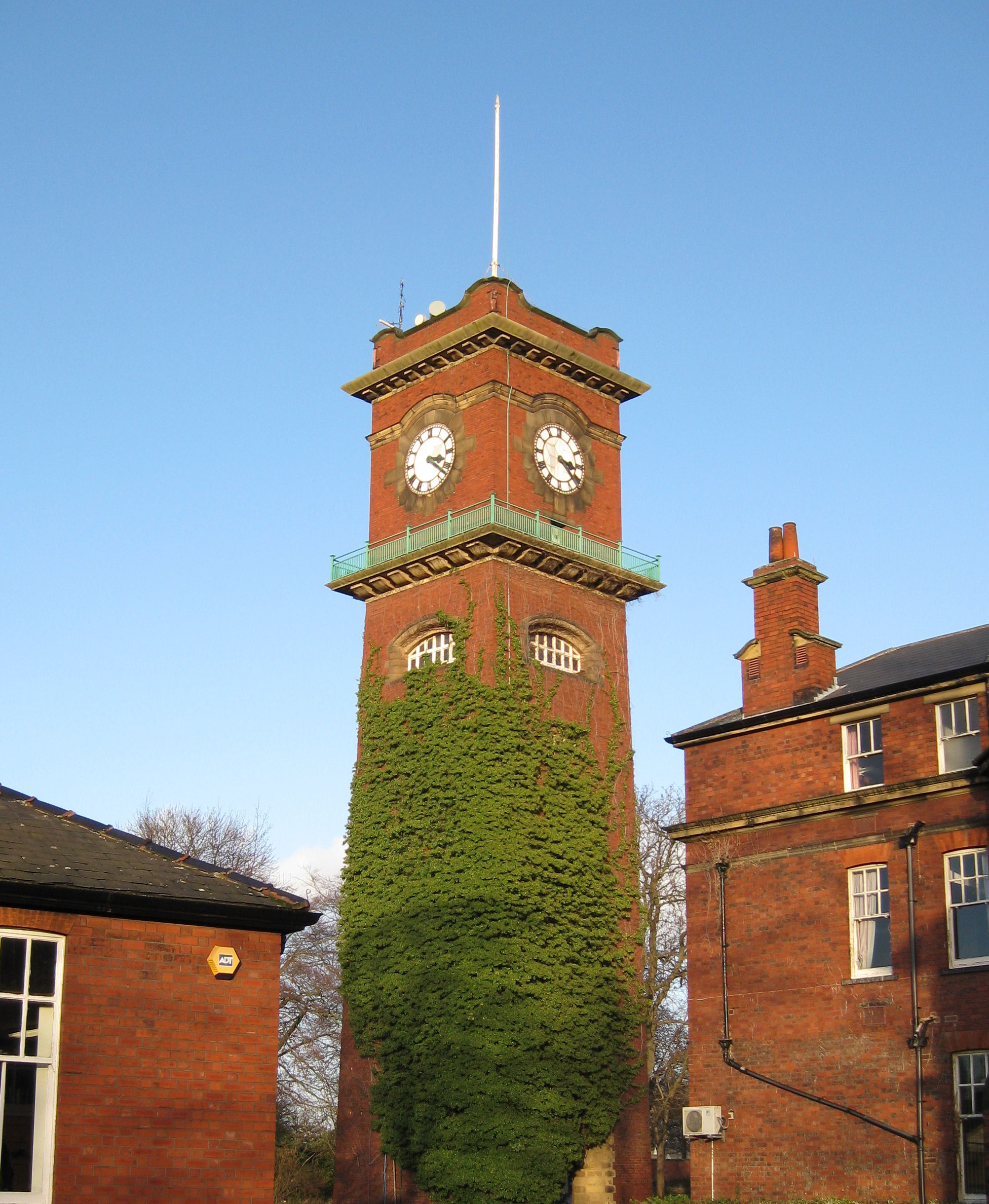
Seacroft Hospital
Seacroft Hospital is based in York Road in the area of Seacroft, Leeds, LS14 West Yorkshire, England and is operated by the Leeds Teaching Hospitals NHS...
Nearby Amenities
Located within 500m of 53.795745,-1.472415Have you been to Halton?
Leave your review of Halton below (or comments, questions and feedback).