Halton

Settlement in Northumberland

England

Halton

Aydon Castle A 13th century fortified manor house with earlier origins and later additions <span class="nowrap"><a title="https://historicengland.org.uk/listing/the-list/list-entry/1011645" rel="nofollow ugc noopener" href="https://historicengland.org.uk/listing/the-list/list-entry/1011645">Link</a><img style="margin-left:2px;" alt="External link" title="External link - shift click to open in new window" src="https://s1.geograph.org.uk/img/external.png" width="10" height="10"/></span>
Aydon Castle Credit: Sandy Gerrard

Halton is a charming village located in the county of Northumberland, England. Situated amidst picturesque countryside, this rural settlement is renowned for its natural beauty and historical significance. With a population of around 500 residents, Halton offers a peaceful and close-knit community atmosphere.

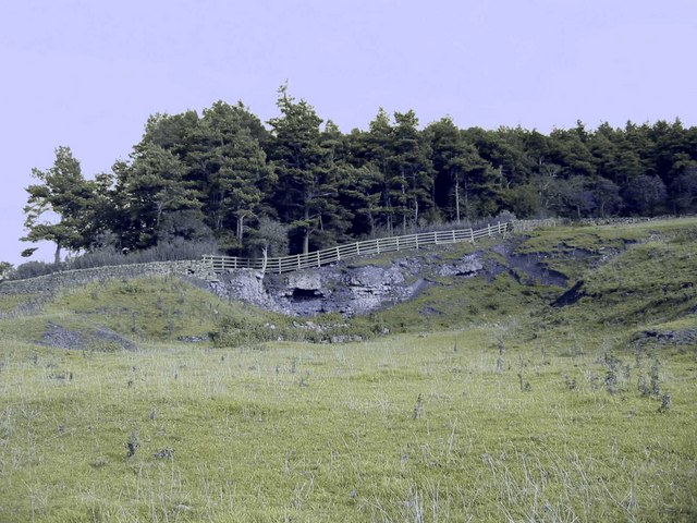
The village is surrounded by stunning landscapes, including rolling hills, lush green fields, and meandering rivers. This makes it an ideal destination for nature lovers and outdoor enthusiasts. The nearby Northumberland National Park provides ample opportunities for hiking, cycling, and wildlife spotting.

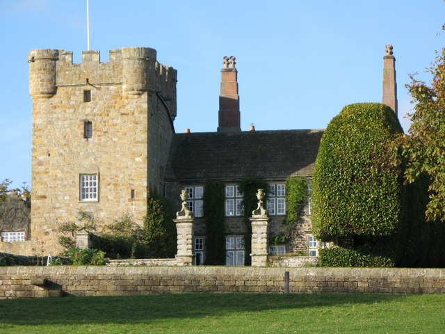
Halton is also notable for its rich history and diverse architecture. The village has a number of historic buildings, including Halton Castle, a medieval fortress that dates back to the 12th century. The castle ruins stand as a testament to the village's past, offering visitors a glimpse into its fascinating heritage.

In terms of amenities, Halton offers a range of facilities to cater to the needs of its residents. The village features a local pub, a primary school, and a community center, which hosts various events throughout the year. Additionally, Halton benefits from its close proximity to larger towns such as Hexham and Corbridge, where residents can find a wider range of shops, restaurants, and services.

Overall, Halton is a delightful village that combines natural beauty with historical charm. It offers a peaceful and idyllic setting for those seeking a tranquil countryside lifestyle, while still providing access to essential amenities and nearby towns.

If you have any feedback on the listing, please let us know in the comments section below.
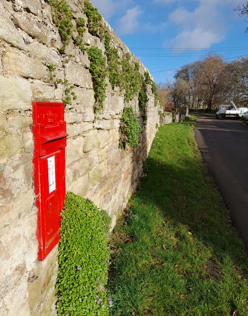
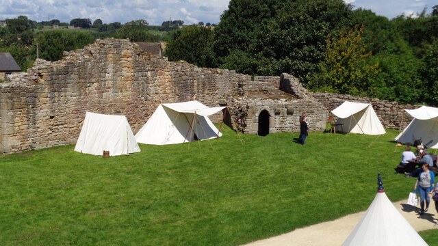
Halton Images

Images are sourced within 2km of 55.00434/-2.003405 or Grid Reference NY9967. Thanks to Geograph Open Source API. All images are credited.

Aydon Castle A 13th century fortified manor house with earlier origins and later additions <span class="nowrap"><a title="https://historicengland.org.uk/listing/the-list/list-entry/1011645" rel="nofollow ugc noopener" href="https://historicengland.org.uk/listing/the-list/list-entry/1011645">Link</a><img style="margin-left:2px;" alt="External link" title="External link - shift click to open in new window" src="https://s1.geograph.org.uk/img/external.png" width="10" height="10"/></span>
Aydon Castle
A 13th century fortified manor house with earlier origins and later additions LinkExternal link
Victorian Letter Box in Aydon A Queen Victoria letterbox in the hamlet of Aydon.
Victorian Letter Box in Aydon
A Queen Victoria letterbox in the hamlet of Aydon.
Outbuildings next to Aydon Castle Farm outbuildings next to Aydon Castle.
Outbuildings next to Aydon Castle
Farm outbuildings next to Aydon Castle.
Public Footpath at Aydon A public footpath on the edge of the hamlet of Aydon which leads across fields to Aydon Castle.
Public Footpath at Aydon
A public footpath on the edge of the hamlet of Aydon which leads across fields to Aydon Castle.
Pop-up pond near Aydon Castle This pop-up pond looks like it is becoming permanent. See also <a href="https://www.geograph.org.uk/photo/6761191">NZ0066 : Pop-up pond near Aydon Castle</a>.
Pop-up pond near Aydon Castle
This pop-up pond looks like it is becoming permanent. See also NZ0066 : Pop-up pond near Aydon Castle.
Farmyard by Aydon Castle With a glimpse of one of the holiday cottages to the right.
Farmyard by Aydon Castle
With a glimpse of one of the holiday cottages to the right.
West wall of Aydon Castle With a good example of a garderobe (loo to you and me).
West wall of Aydon Castle
With a good example of a garderobe (loo to you and me).
Ponies with bales Near Aydon Castle.
Ponies with bales
Near Aydon Castle.
Ponies in field Near Aydon Castle.
Ponies in field
Near Aydon Castle.
Outer Courtyard of Castle Viewed from the inner courtyard wall walkway on an event day at the English Heritage site
Outer Courtyard of Castle
Viewed from the inner courtyard wall walkway on an event day at the English Heritage site
Aydon Castle The solar block and garderobe viewed from the orchard
Aydon Castle
The solar block and garderobe viewed from the orchard
Footpath to Aydon Castle Footpath from Aydon Road heading towards Aydon Castle.

Wikipedia Aydon <span class="nowrap"><a title="https://en.wikipedia.org/wiki/Aydon" rel="nofollow ugc noopener" href="https://en.wikipedia.org/wiki/Aydon">Link</a><img style="margin-left:2px;" alt="External link" title="External link - shift click to open in new window" src="https://s1.geograph.org.uk/img/external.png" width="10" height="10"/></span>
Footpath to Aydon Castle
Footpath from Aydon Road heading towards Aydon Castle. Wikipedia Aydon LinkExternal link
Aydon, Northumberland The village of Aydon in Northumberland.
Aydon, Northumberland
The village of Aydon in Northumberland.
View across the fields near Aydon Farm land to the northeast of Aydon.
View across the fields near Aydon
Farm land to the northeast of Aydon.
Sack hoist This rusty and totally defunct sack hoist is mounted on the outside of a farm building opposited Aydon Castle.
Sack hoist
This rusty and totally defunct sack hoist is mounted on the outside of a farm building opposited Aydon Castle.
Old farm buildings Opposite Aydon Castle
Old farm buildings
Opposite Aydon Castle
Aydon Castle A corner of the outer wall.
Aydon Castle
A corner of the outer wall.
Courtyard at Aydon Castle The walkway is not accessible to visitors.
Courtyard at Aydon Castle
The walkway is not accessible to visitors.
Show me another place!

Halton is located at Grid Ref: NY9967 (Lat: 55.00434, Lng: -2.003405)

Unitary Authority: Northumberland

Police Authority: Northumbria

What 3 Words

///reprints.pointer.meanest. Near Corbridge, Northumberland

Nearby Locations

Halton

Related Wikis

Halton, Northumberland

Halton is a village and former civil parish, now in the parish of Whittington, in the southern part of Northumberland, England. It is situated 3 miles...

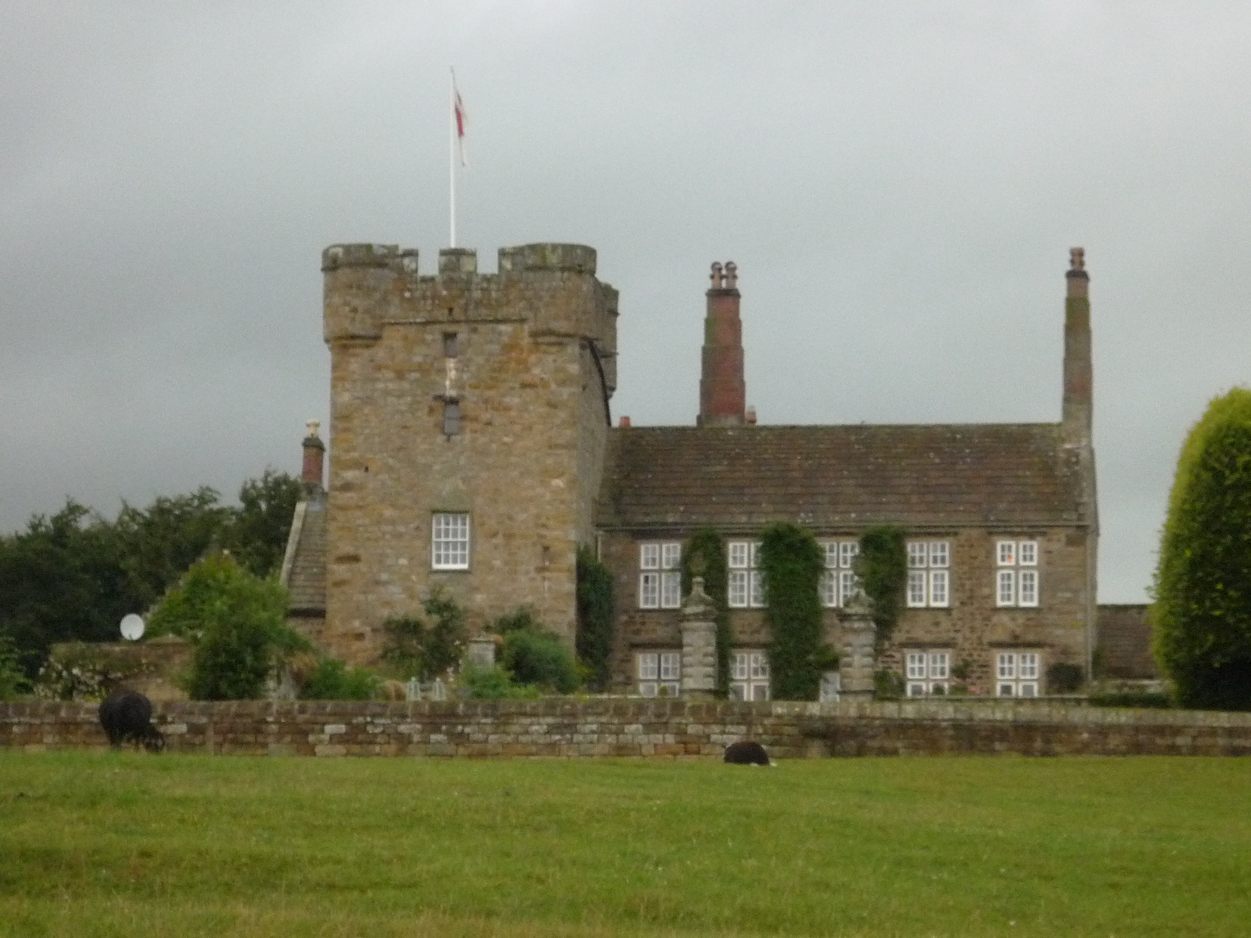
Halton Castle, Northumberland

Halton Castle is a pele tower and grade I listed building situated close to Hadrian's Wall to the north of the village of Corbridge in Northumberland,...

Hunnum

Hunnum (also known as Onnum, and with the modern name of Halton Chesters) was a Roman fort north of the modern-day village of Halton, Northumberland in...

Milecastle 21

Milecastle 21 (Down Hill) was a milecastle of the Roman Hadrian's Wall. The site was identified by measurement only, as the milecastle's remains have...

Milecastle 22

Milecastle 22 (Portgate) was a milecastle of the Roman Hadrian's Wall. Its remains exist as a low, turf covered platform just east of the Portgate roundabout...

Aydon Castle

Aydon Castle, previously sometimes called Aydon Hall, is a fortified manor house at Aydon near to the town of Corbridge, Northumberland, England. It is...

Portgate

The Portgate was a fortified gateway, constructed as part of Hadrian's Wall where it crossed the Roman road now known as Dere Street, which preceded Hadrian...

Aydon

Aydon is a village and former civil parish, now in the parish of Corbridge, in Northumberland, England. It is about 2 miles (3 km) northeast of Corbridge...

Nearby Amenities

Located within 500m of 55.00434,-2.003405
Design: three-level
Power: tower
Lat/Long: 55.0082365/-2.0053569
Design: three-level
Power: tower
Lat/Long: 55.0082463/-2.0000028
Halton
Place: hamlet
Wikidata: Q5643622
Wikipedia: en:Halton, Northumberland
Lat/Long: 55.0049099/-2.0045216
Barrier: stile
Lat/Long: 55.0062507/-2.0063587
Barrier: wicket_gate
Lat/Long: 55.0053679/-2.0081147
Barrier: wicket_gate
Lat/Long: 55.0046697/-2.0040493
Barrier: wicket_gate
Lat/Long: 55.0051072/-2.0025437
Barrier: cattle_grid
Lat/Long: 55.0062646/-2.005854
Halton Colliery
Historic: mine
Resource: coal
Source: Historic OS mapping
Lat/Long: 55.0076221/-2.003181
The data included in this document is from www.openstreetmap.org. The data is made available under ODbL.

Have you been to Halton?

Leave your review of Halton below (or comments, questions and feedback).