Chapel Green
Downs, Moorland in Westmorland South Lakeland
England
Chapel Green

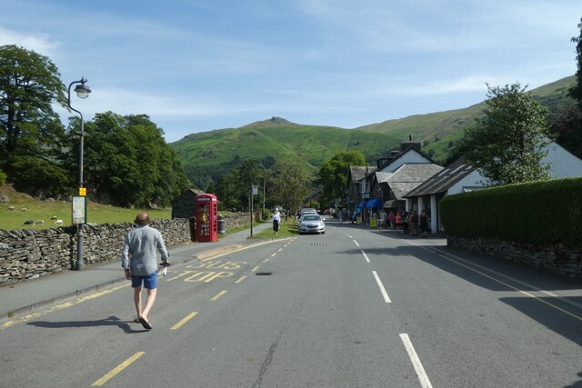
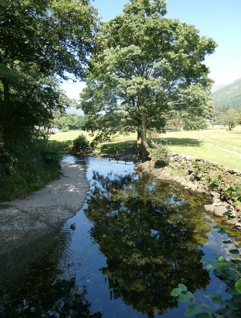
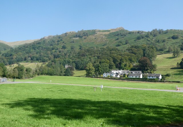
Chapel Green is a small village located in the county of Westmorland, in the northwestern region of England. Situated in a picturesque setting, it is surrounded by rolling hills and verdant moorland, offering breathtaking views of the surrounding countryside.
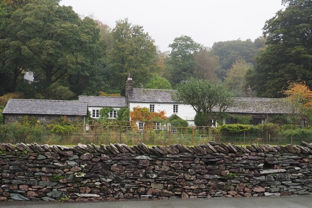
The village is characterized by its charming stone houses, many of which date back several centuries, giving it a quaint and timeless ambiance. The local community is tight-knit and friendly, with a population of around 500 residents.
Chapel Green is known for its historic chapel, which stands at the heart of the village. The chapel, built in the 17th century, is a prominent landmark and a place of worship for the villagers. Its architecture showcases the traditional style of the region, with its stone walls and a simple yet elegant design.
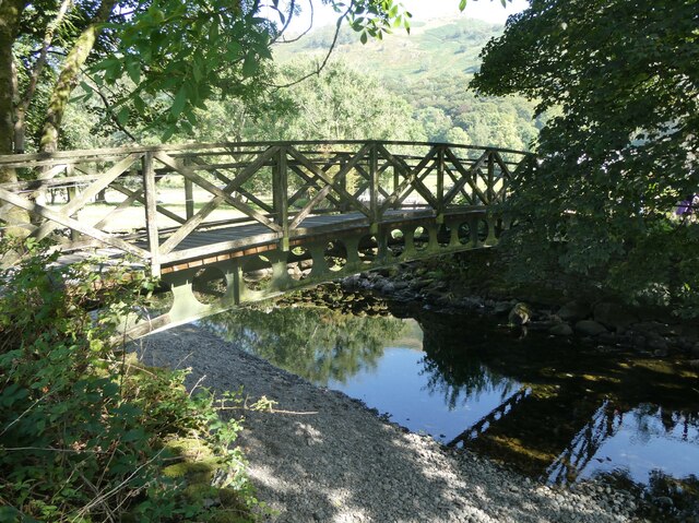
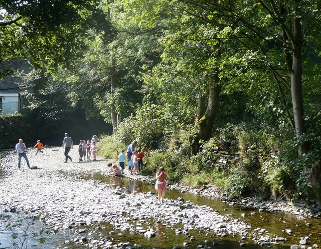
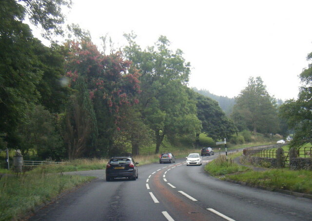
The village is surrounded by beautiful natural landscapes, making it a popular destination for outdoor enthusiasts. The nearby moorland offers opportunities for hiking, birdwatching, and exploring the local flora and fauna. Additionally, the village is close to several renowned walking trails and nature reserves, making it an ideal base for those looking to explore the Westmorland Downs.
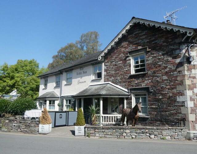
Despite its small size, Chapel Green boasts a vibrant community spirit, with various social events and activities taking place throughout the year. The village also has a local pub, where residents and visitors can enjoy a traditional meal or a drink, further enhancing the sense of community.
Overall, Chapel Green is a charming and idyllic village, offering a peaceful retreat in the heart of the Westmorland countryside.
If you have any feedback on the listing, please let us know in the comments section below.
Chapel Green Images
Images are sourced within 2km of 54.45586/-3.0088644 or Grid Reference NY3407. Thanks to Geograph Open Source API. All images are credited.


Chapel Green is located at Grid Ref: NY3407 (Lat: 54.45586, Lng: -3.0088644)
Administrative County: Cumbria
District: South Lakeland
Police Authority: Cumbria
What 3 Words
///woodstove.herds.tickling. Near Ambleside, Cumbria
Nearby Locations
Related Wikis
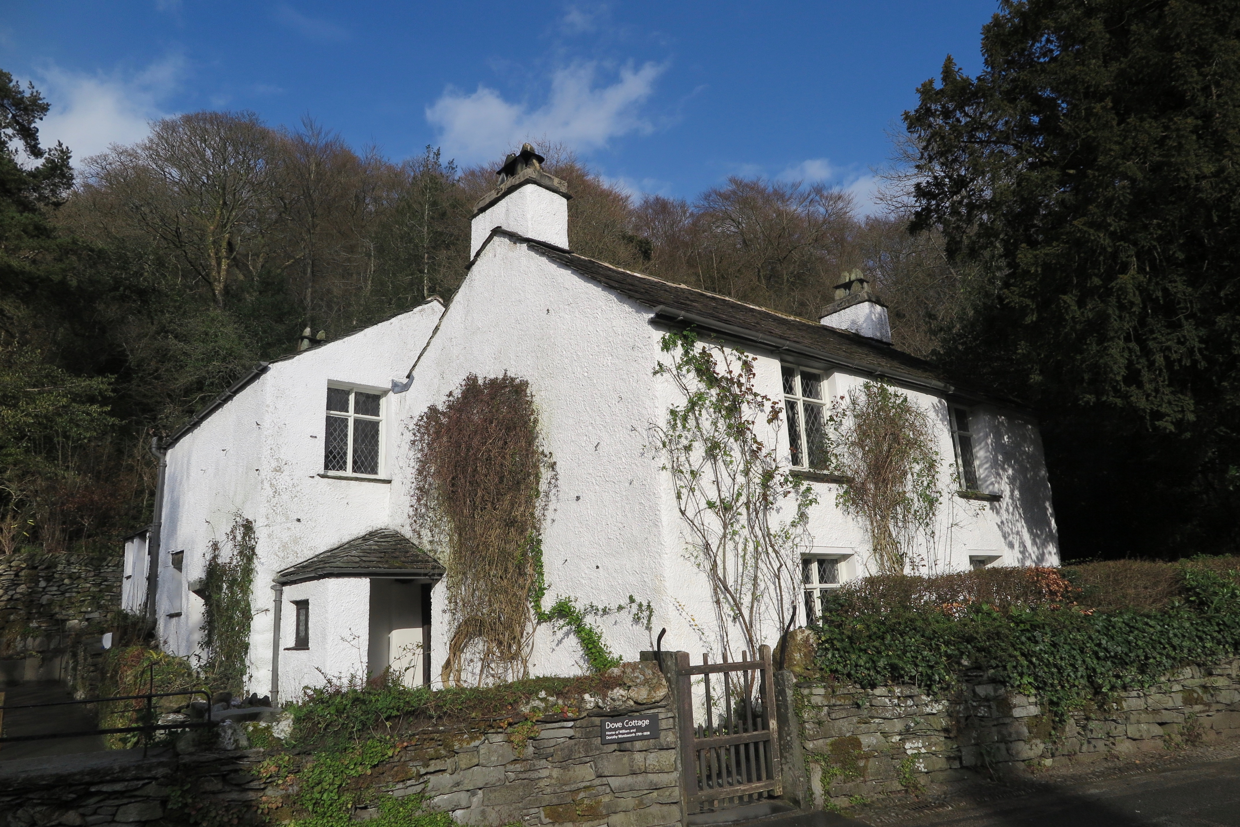
Dove Cottage
Dove Cottage is a house on the edge of Grasmere in the Lake District of England. It is best known as the home of the poet William Wordsworth and his sister...

Dockey Tarn
Dockey Tarn is a small lake in South Lakeland district, Cumbria, England. It is located at a height of 379.3 m (1,244 ft), on the west slope below the...

Alcock Tarn
Alcock Tarn is a lake in South Lakeland, Cumbria, England. It is located high in the fells on Heron Pike, roughly a mile and a half east of Grasmere.Alcock...

Nab Scar
Nab Scar is a fell in the English Lake District, an outlier of the Fairfield group in the Eastern Fells. It stands above Rydal Water. == Topography... ==

St Oswald's Church, Grasmere
St Oswald's Church is in the village of Grasmere, in the Lake District, Cumbria, England. It is an active Anglican parish church in the deanery of Windermere...
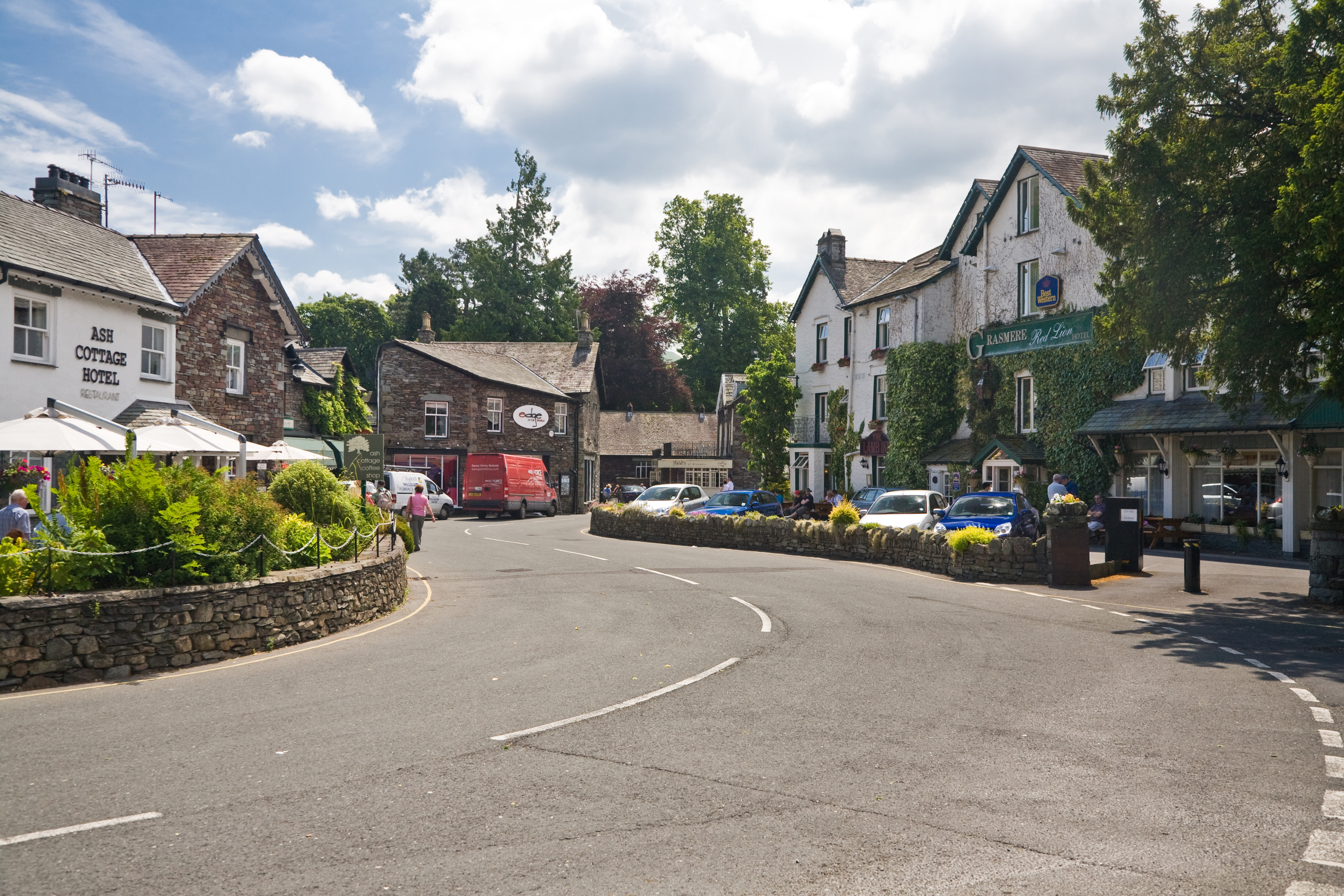
Grasmere (village)
Grasmere is a village and former civil parish, now in the parish of Lakes, in the Westmorland and Furness district of Cumbria, England, and situated in...
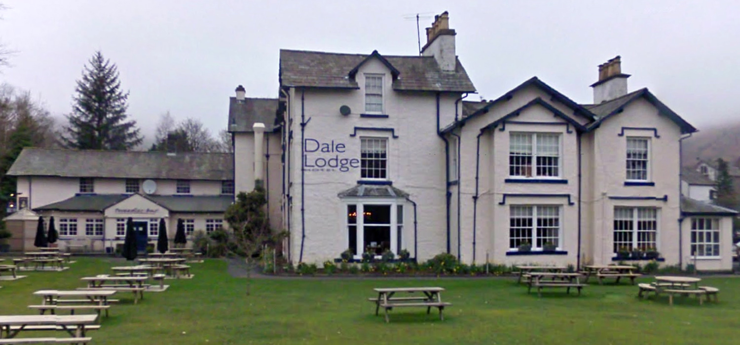
Dale Lodge Hotel
Dale Lodge Hotel in Grasmere is a building of historical significance. It was built in the early 1800s and was a private residence until about 1900. It...
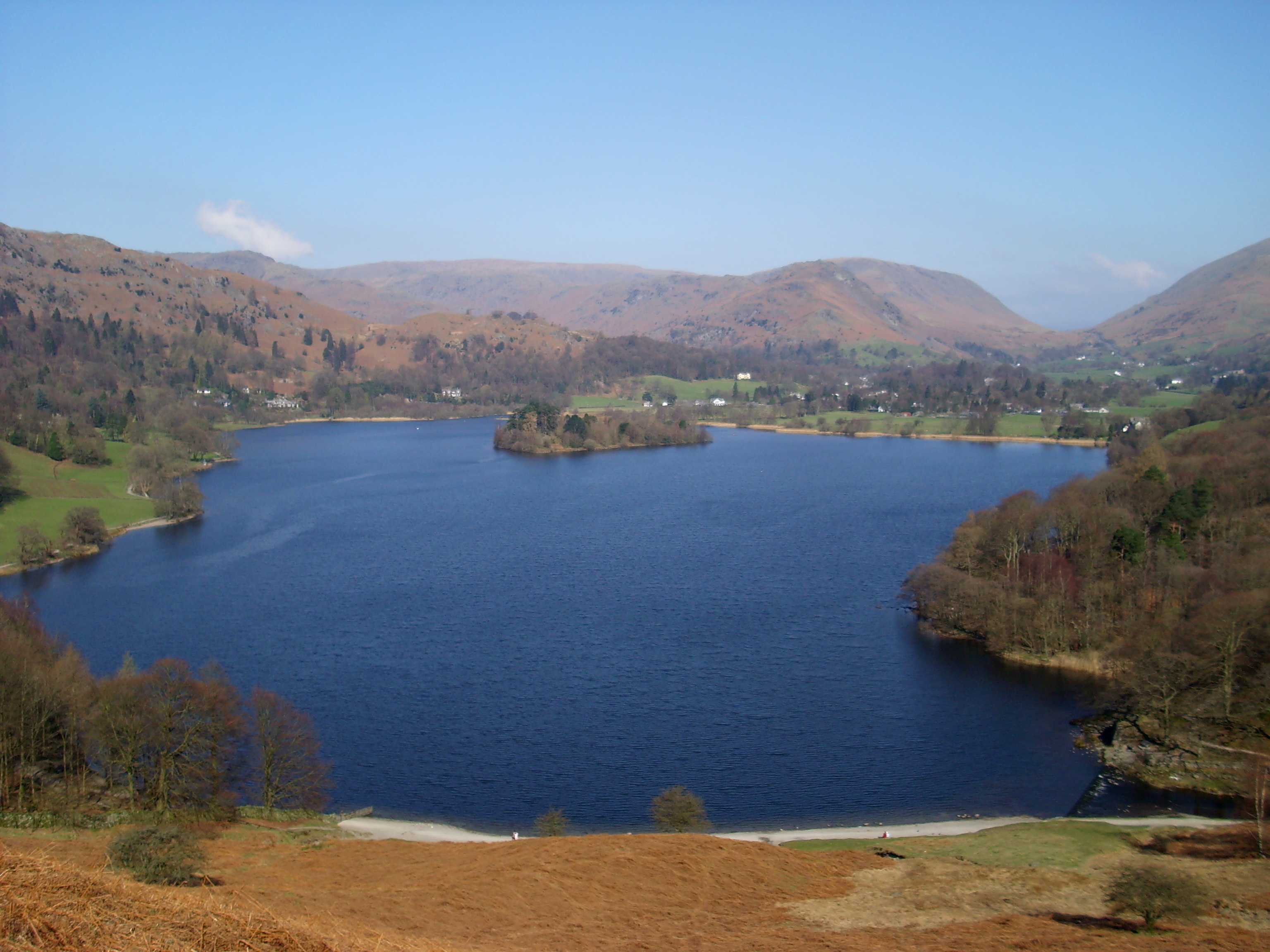
Grasmere (lake)
Grasmere is one of the smaller lakes of the English Lake District, in the county of Cumbria. It gives its name to the village of Grasmere, famously associated...
Nearby Amenities
Located within 500m of 54.45586,-3.0088644Have you been to Chapel Green?
Leave your review of Chapel Green below (or comments, questions and feedback).