Cecil's Field

Downs, Moorland in Midlothian

Scotland

Cecil's Field

Path, Dalkeith Park Between the woodland along the North Esk and a field.
Path, Dalkeith Park Credit: Richard Webb

Cecil's Field is a picturesque area located in the Midlothian region of Scotland. It encompasses a vast expanse of downs and moorland, offering visitors a unique opportunity to immerse themselves in the natural beauty of the Scottish countryside.

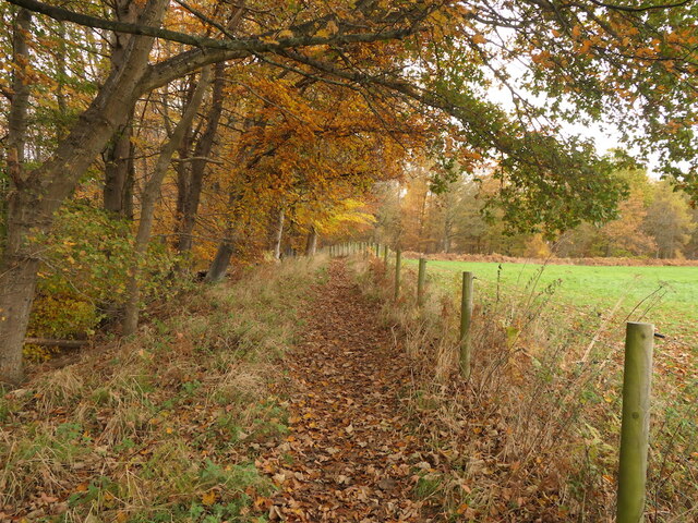
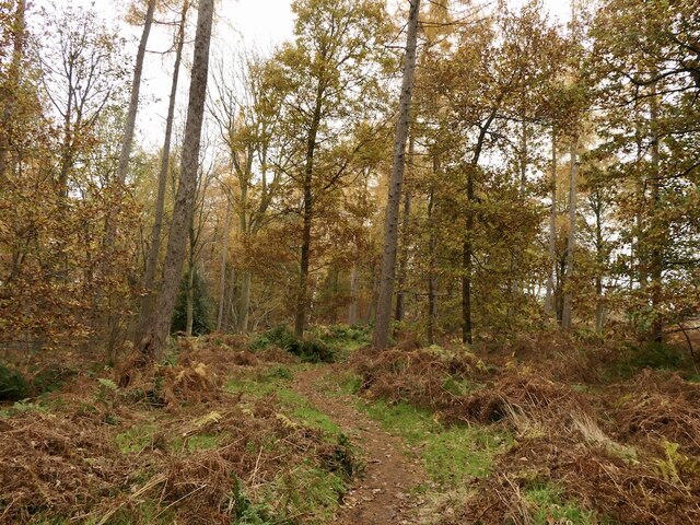
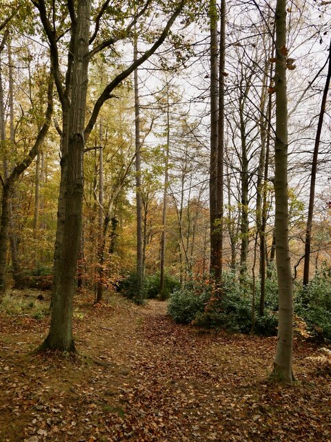
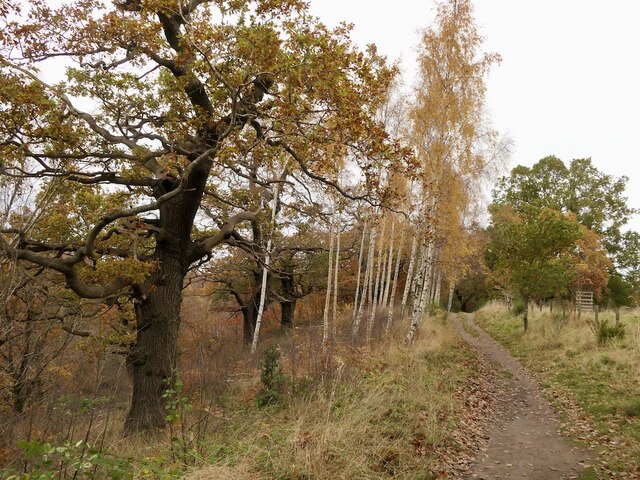
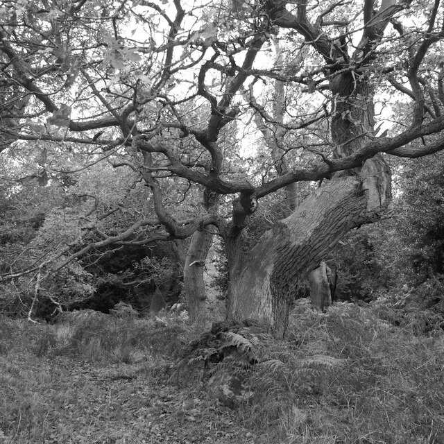
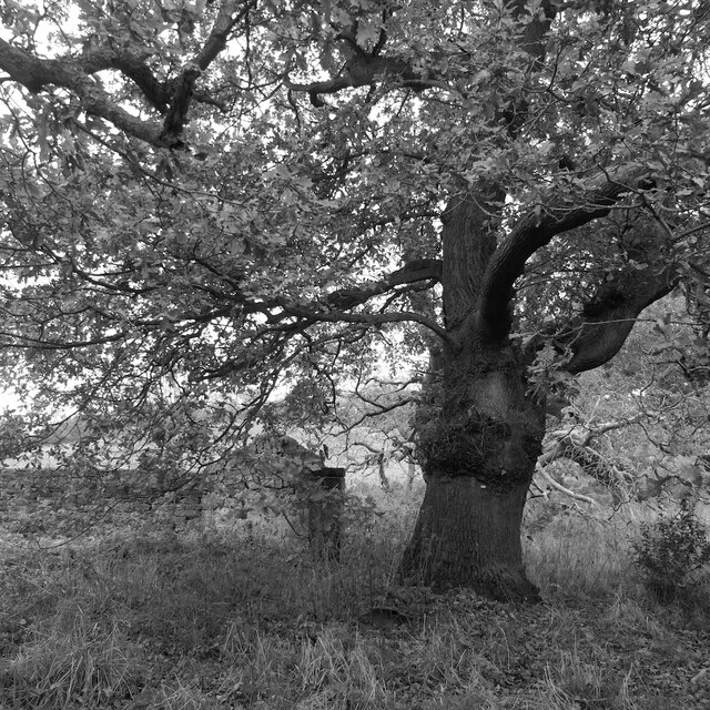
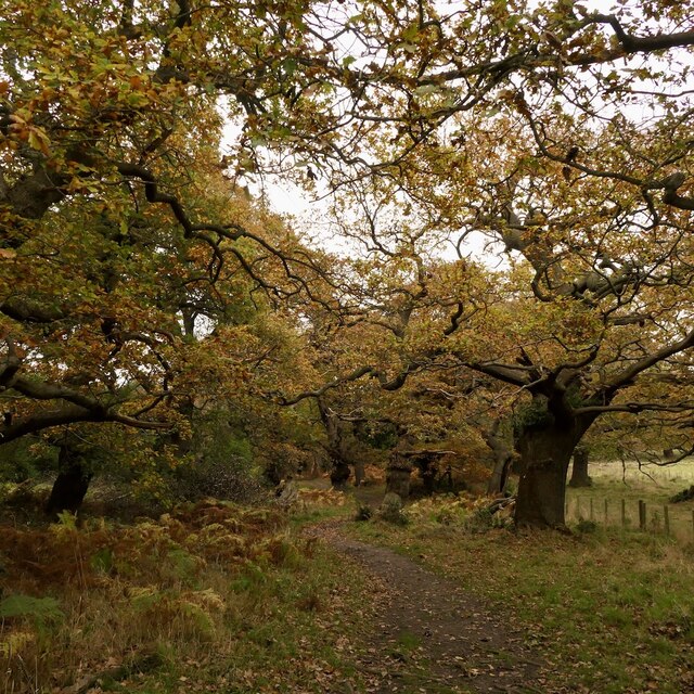
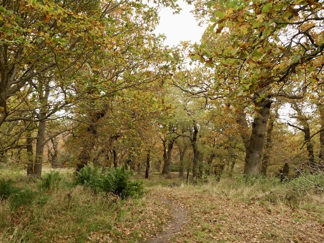
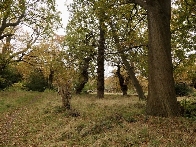
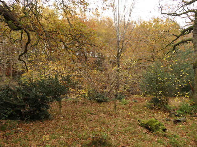
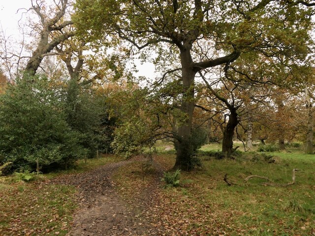
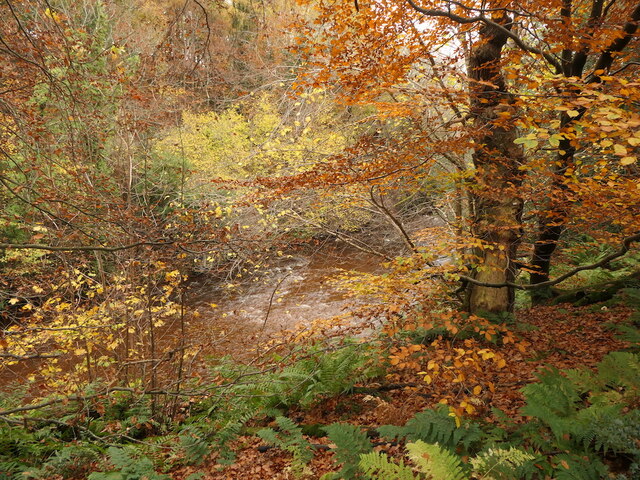
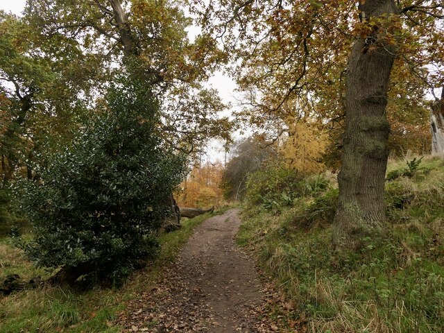
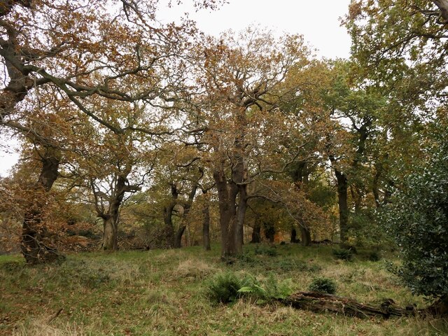
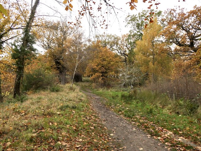
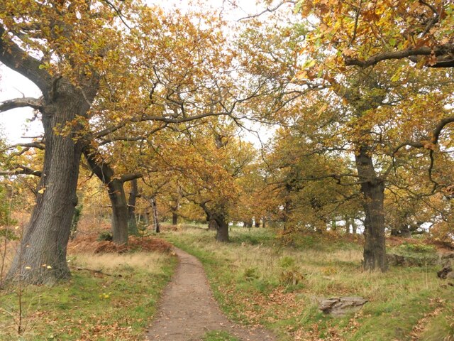
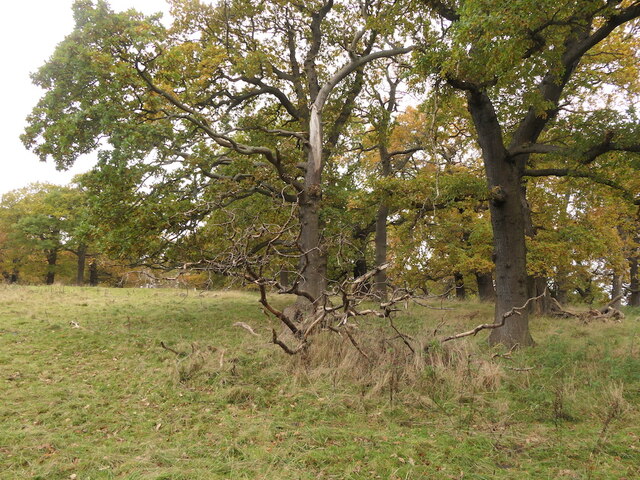
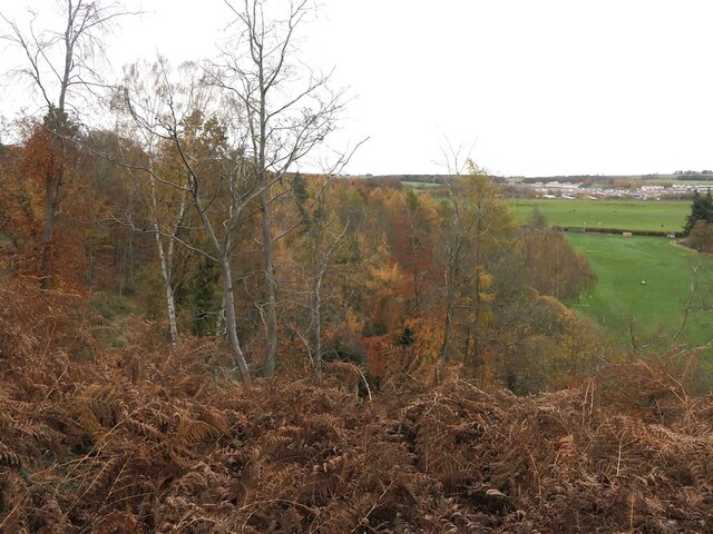
The downs in Cecil's Field are characterized by their rolling hills, covered in lush green grasses and dotted with wildflowers during the warmer months. The landscape provides breathtaking panoramic views, making it an ideal spot for hiking, picnicking, or simply enjoying a leisurely stroll. The downs also serve as a habitat for a variety of wildlife, including deer, rabbits, and various species of birds.

Adjacent to the downs, the moorland of Cecil's Field features a more rugged terrain, with heather-covered hills and peat bogs. This area is renowned for its unique flora and fauna, including rare plant species such as the Scottish primrose and bog myrtle. It is a haven for nature enthusiasts and birdwatchers, as it is home to several bird species, including the curlew and red grouse.

Cecil's Field is not only a natural haven but also holds historical significance. It was named after Cecil, a local landowner, and has been preserved to maintain its natural beauty and cultural heritage. Visitors can explore the remnants of ancient settlements, including stone circles and burial mounds, providing a glimpse into the rich history of the region.

Overall, Cecil's Field is a captivating destination that offers a perfect blend of natural beauty and historical significance. Whether seeking outdoor adventures or a serene escape in nature, this area provides an idyllic setting for visitors of all interests.

If you have any feedback on the listing, please let us know in the comments section below.

Cecil's Field Images

Images are sourced within 2km of 55.912915/-3.045896 or Grid Reference NT3469. Thanks to Geograph Open Source API. All images are credited.

Path, Dalkeith Park Between the woodland along the North Esk and a field.
Path, Dalkeith Park
Between the woodland along the North Esk and a field.
Path, Dalkeith Park
Path, Dalkeith Park
Woodland, Dalkeith Park
Path, Dalkeith Park Between the North Esk and a field of Simmental cattle.
Path, Dalkeith Park
Between the North Esk and a field of Simmental cattle.
Old oak, Dalkeith Park
Oak and ruin, Dalkeith Park
Oaks, Dalkeith Park
Oaks, Dalkeith Park
Oaks, Dalkeith Park Above the Meeting of the Waters
Oaks, Dalkeith Park
Above the Meeting of the Waters
Oaks, Dalkeith Park
Oaks, Dalkeith Park
Looking across the South Esk, Dalkeith Park
Oaks, Dalkeith Park
Oaks, Dalkeith Park
River South Esk, Dalkeith Park
Beside the South Esk, Dalkeith Park The path is climbing above a very steep slope dropping to the river.
Beside the South Esk, Dalkeith Park
The path is climbing above a very steep slope dropping to the river.
Oaks, Dalkeith Park
Oaks, Dalkeith Park
Path, Dalkeith Park
Path, Dalkeith Park
Oaks, Dalkeith Park
Oaks, Dalkeith Park
Oaks, Dalkeith Park
Oaks, Dalkeith Park
Steep woodland above the South Esk Above the Cat Haugh meander. There have been landslips here on the outside of the river bend.
Steep woodland above the South Esk
Above the Cat Haugh meander. There have been landslips here on the outside of the river bend.
Show me another place!

Cecil's Field is located at Grid Ref: NT3469 (Lat: 55.912915, Lng: -3.045896)

Unitary Authority: East Lothian

Police Authority: The Lothians and Scottish Borders

What 3 Words

///fractions.intruding.fitter. Near Whitecraig, East Lothian

Nearby Locations

Smeaton Glen Cecil's Field

Related Wikis

Smeaton House

Smeaton House, also known as Smeaton Castle, and now as Dalkeith Home Farm, is a courtyard castle dating from the fifteenth century, about 2 miles (3...

Smeaton railway station

Smeaton railway station served the village of Smeaton, south of Musselburgh in East Lothian, Scotland, from 1872 to 1930 on the Macmerry Branch. ��2�...

Carberry, East Lothian

Carberry is a village in East Lothian, Scotland, United Kingdom is situated off the A6124 road, a mile east of Whitecraig, two miles south east of Musselburgh...

St David's Roman Catholic High School

St David's Roman Catholic High School is a Catholic secondary state school located at Cousland Road in Dalkeith, Midlothian, Scotland. It has shared the...

Nearby Amenities

Located within 500m of 55.912915,-3.045896
Motorway Junction
Salter's Road Junction
Lat/Long: 55.9102357/-3.0454325
Motorway Junction
Salter's Road Junction
Lat/Long: 55.9089613/-3.0426312
Bus Stop
Smeaton Road End
Bus: yes
Naptan AdministrativeAreaCode: 122
Naptan Area Name: East Lothian
Naptan AtcoAreaCode: 627
Naptan AtcoCode: 627001030108
Naptan Bearing: N
Naptan BusStopType: CUS
Naptan CommonName: Smeaton Road End
Naptan Indicator: opp
Naptan LocalityName: Whitecraig
Naptan NaptanCode: 58234975
Naptan NptgLocalityCode: ES003851
Naptan PlusbusZoneRef: EDINBUR
Naptan SourceLocalityType: Lo
Naptan StopAreaCode: 627G1040108
Naptan StopAreaType: GPBS
Naptan StopArea Name: Smeaton Road End
Naptan Street: A6094
Naptan Verified: yes
Note: Bus Stop unmarked
Public Transport: platform
Source: NaPTAN + Survey
Lat/Long: 55.9148886/-3.0422533
Bus Stop
Smeaton Road End
Bus: yes
Naptan AdministrativeAreaCode: 122
Naptan Area Name: East Lothian
Naptan AtcoAreaCode: 627
Naptan AtcoCode: 627001040108
Naptan Bearing: SW
Naptan BusStopType: CUS
Naptan CommonName: Smeaton Road End
Naptan Indicator: adj
Naptan LocalityName: Whitecraig
Naptan NaptanCode: 58234976
Naptan NptgLocalityCode: ES003851
Naptan PlusbusZoneRef: EDINBUR
Naptan SourceLocalityType: Lo
Naptan StopAreaCode: 627G1040108
Naptan StopAreaType: GPBS
Naptan StopArea Name: Smeaton Road End
Naptan Street: A6094
Naptan Verified: yes
Note: Bus Stop unmarked
Public Transport: platform
Source: NaPTAN + Survey
Lat/Long: 55.9149544/-3.0419031
Power: tower
Lat/Long: 55.9127774/-3.0528536
Power: tower
Lat/Long: 55.9119106/-3.0409813
Design: three-level
Power: tower
Lat/Long: 55.9117247/-3.0461508
Design: three-level
Power: tower
Lat/Long: 55.9115509/-3.0437124
Design: three-level
Power: tower
Lat/Long: 55.9108731/-3.041144
Design: three-level
Power: tower
Lat/Long: 55.9095754/-3.041635
Design: three-level
Power: tower
Lat/Long: 55.9111985/-3.0450948
Design: three-level
Power: tower
Lat/Long: 55.9109414/-3.0500078
Smeaton
Place: hamlet
Lat/Long: 55.914319/-3.039995
Give Way
Lat/Long: 55.9096004/-3.0441526
Give Way
Lat/Long: 55.9150045/-3.0419423
Design: three-level
Power: tower
Lat/Long: 55.9104606/-3.0488211
Power: tower
Lat/Long: 55.9123309/-3.0467417
Material: concrete
Power: pole
Lat/Long: 55.9158545/-3.0511721
Power: pole
Lat/Long: 55.9142664/-3.0486654
Power: pole
Lat/Long: 55.9149344/-3.0479653
Power: pole
Lat/Long: 55.915858/-3.0469672
Power: pole
Lat/Long: 55.9160939/-3.0464504
Power: pole
Lat/Long: 55.9157915/-3.0451773
Power: pole
Lat/Long: 55.9138612/-3.0478319
Power: pole
Lat/Long: 55.9134443/-3.0469589
Power: pole
Lat/Long: 55.9147534/-3.0394472
Give Way
Lat/Long: 55.9096814/-3.0439407
Give Way
Direction: forward
Lat/Long: 55.9107945/-3.0434922
The data included in this document is from www.openstreetmap.org. The data is made available under ODbL.

Have you been to Cecil's Field?

Leave your review of Cecil's Field below (or comments, questions and feedback).