Hallingbury Street

Settlement in Essex Uttlesford

England

Hallingbury Street

Straight road near Forest Farm This very straight section is about a kilometre in length and may mark the route of a Roman road heading for Takeley Street (several other straight sections occur between here and Takeley Street). "Street" in a place name often denotes a settlement on a Roman road and indeed Takeley Street is on Stane Street running east to west. I think it's not too fanciful to see this as a Roman route to Stane Street.
Straight road near Forest Farm Credit: Trevor Harris

Hallingbury Street is a small village located in the county of Essex, England. Situated in the East Hertfordshire district, it is surrounded by picturesque countryside and has a population of approximately 500 residents. The village is known for its charming and tranquil atmosphere, attracting visitors who seek a peaceful retreat from the hustle and bustle of city life.

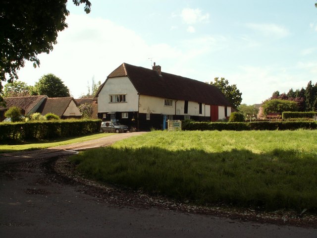
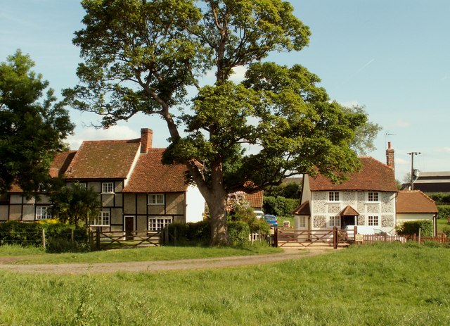
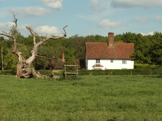
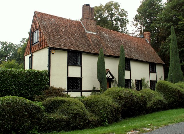
The village is characterized by its traditional English architecture, with many well-preserved historic buildings lining its streets. The houses, made predominantly of red brick, showcase a mix of architectural styles dating back to the 17th and 18th centuries. The village also features a beautiful church, St. Giles', which has stood as a centerpiece of the community for centuries.

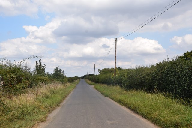
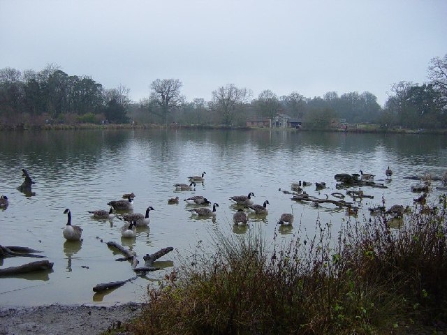
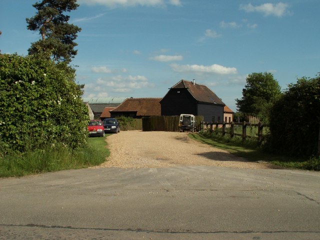
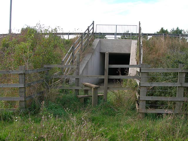
Hallingbury Street benefits from its rural location, boasting stunning views of the surrounding countryside and offering ample opportunities for outdoor activities. The village is surrounded by green fields, rolling hills, and winding footpaths, making it an ideal destination for nature lovers and hikers. Additionally, the nearby River Stort provides a picturesque setting for fishing and boating.

Despite its small size, Hallingbury Street offers a range of amenities for its residents and visitors. These include a village hall, a local pub, and a small convenience store. The village also has a primary school, ensuring that families have access to education within the community.

Overall, Hallingbury Street is a charming and idyllic village in Essex, offering a peaceful retreat for those seeking a break from city life. With its historic architecture, scenic landscapes, and community spirit, it continues to be a beloved destination for residents and tourists alike.

If you have any feedback on the listing, please let us know in the comments section below.

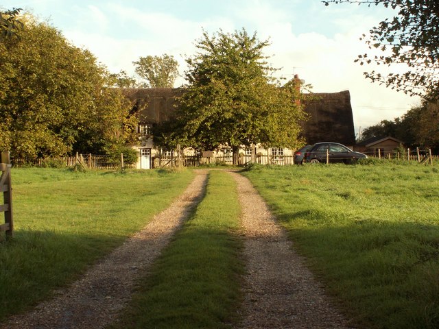
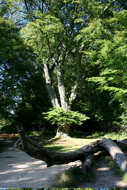
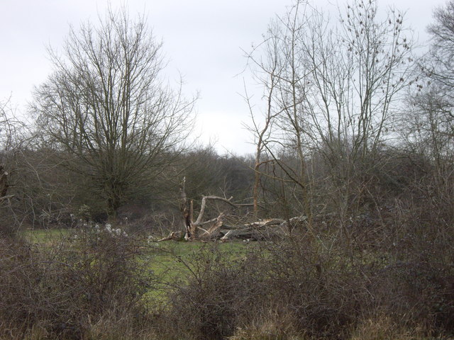
Hallingbury Street Images

Images are sourced within 2km of 51.854086/0.214346 or Grid Reference TL5219. Thanks to Geograph Open Source API. All images are credited.

Straight road near Forest Farm This very straight section is about a kilometre in length and may mark the route of a Roman road heading for Takeley Street (several other straight sections occur between here and Takeley Street). "Street" in a place name often denotes a settlement on a Roman road and indeed Takeley Street is on Stane Street running east to west. I think it's not too fanciful to see this as a Roman route to Stane Street.
Straight road near Forest Farm
This very straight section is about a kilometre in length and may mark the route of a Roman road heading for Takeley Street (several other straight sections occur between here and Takeley Street). "Street" in a place name often denotes a settlement on a Roman road and indeed Takeley Street is on Stane Street running east to west. I think it's not too fanciful to see this as a Roman route to Stane Street.
Little Barrington Hall Farm
Hatfield Forest. Now a popular park cared for by the National Trust.
Hatfield Forest.
Now a popular park cared for by the National Trust.
The Shell House, Hatfield Forest Jacob Houblon III built The Shell House in about 1754. It was attached to a cottage by his new lake and was occupied by a housekeeper who kept poultry and peacocks. The cottage was later demolished. The Shell House has recently been restored by The National Trust.
The Shell House, Hatfield Forest
Jacob Houblon III built The Shell House in about 1754. It was attached to a cottage by his new lake and was occupied by a housekeeper who kept poultry and peacocks. The cottage was later demolished. The Shell House has recently been restored by The National Trust.
The Lake, Hatfield Forest Looking SW across to the Shell House. This lake was created by Jacob Houblon III in circa 1750 from marshland fed by the Shermore Brook.
The Lake, Hatfield Forest
Looking SW across to the Shell House. This lake was created by Jacob Houblon III in circa 1750 from marshland fed by the Shermore Brook.
St. Giles, Great Hallingbury
Lodge Farm, Essex This farm is situated at the southern end of Hatfield Forest, near to Little Hallingbury.
Lodge Farm, Essex
This farm is situated at the southern end of Hatfield Forest, near to Little Hallingbury.
Cottages at Woodside Green, Essex Woodside Green is a lovely place, at the southern end of Hatfield Forest near Little Hallingbury.  There is a large green area here where cows roam freely.
Cottages at Woodside Green, Essex
Woodside Green is a lovely place, at the southern end of Hatfield Forest near Little Hallingbury. There is a large green area here where cows roam freely.
Woodfold cottage at Woodside Green, Essex Woodside Green is near Little Hallingbury.  This cottage is just one of the many pretty buildings dotted around Woodside Green.
Woodfold cottage at Woodside Green, Essex
Woodside Green is near Little Hallingbury. This cottage is just one of the many pretty buildings dotted around Woodside Green.
Forest Farm, near Hatfield Broad Oak, Essex
Stile and tunnel under M11 The public footpath to Great Hallingbury crosses the M11 by means of this tunnel
Stile and tunnel under M11
The public footpath to Great Hallingbury crosses the M11 by means of this tunnel
Howletts, Hallingbury Street, Essex Hallingbury Street is a dead-end road that is full of interesting houses. This old house stands by the start of the street in Bedlars Green.
Howletts, Hallingbury Street, Essex
Hallingbury Street is a dead-end road that is full of interesting houses. This old house stands by the start of the street in Bedlars Green.
Thatched cottage, close to Hatfield Forest, Essex
Heifer, Lodge Coppice, Hatfield Forest
Woodside Green, National Trust, near Hatfield Forest
Hatfield Forest In Gravelpit Coppice near the lake.
Hatfield Forest
In Gravelpit Coppice near the lake.
The Lake, Hatfield Forest
Damaged trees in Hatfield Park Some unfortunate casualties from the storms in January 2007. Be sure to bring some wellies if you're venturing here too, it's a bit muddy!!
Damaged trees in Hatfield Park
Some unfortunate casualties from the storms in January 2007. Be sure to bring some wellies if you're venturing here too, it's a bit muddy!!
Show me another place!

Hallingbury Street is located at Grid Ref: TL5219 (Lat: 51.854086, Lng: 0.214346)

Administrative County: Essex

District: Uttlesford

Police Authority: Essex

What 3 Words

///gossiped.deriving.candidate. Near Little Hallingbury, Essex

Related Wikis

Korean Air Cargo Flight 8509

Korean Air Cargo Flight 8509 was a Boeing 747-2B5F, registered HL7451 bound for Milan Malpensa Airport, that crashed due to instrument malfunction and...

Bedlar's Green

Bedlar's Green is a hamlet in the Uttlesford district of Essex, England adjacent to the village of Great Hallingbury.

Portingbury Hills

Portingbury Hills (grid reference TL5320) or Portingbury Rings is a hill in Hatfield Forest, Hatfield Broad Oak, Essex, United Kingdom. == Artefacts... ==

Hatfield Forest

Hatfield Forest is a 403.2-hectare (996-acre) biological Site of Special Scientific Interest in Essex, three miles east of Bishop's Stortford. It is also...

Nearby Amenities

Located within 500m of 51.854086,0.214346
Hallingbury Street
Place: hamlet
Lat/Long: 51.8542562/0.2151021
Lodge Coppice
Place: locality
Lat/Long: 51.8541579/0.2214323
Barrier: stile
Lat/Long: 51.8514531/0.2120095
Barrier: stile
Lat/Long: 51.853921/0.213993
Access: no
Note: National Trust closed a number of paths in 2017 to allow recovery of the surfaces. It is not known when/if they will be re-opened.
Lat/Long: 51.8529431/0.2206262
Note: West Ride has been stopped up with a fence. It is not known when or if the ride will be re-opened.
Lat/Long: 51.8569186/0.2189011
The data included in this document is from www.openstreetmap.org. The data is made available under ODbL.

Have you been to Hallingbury Street?

Leave your review of Hallingbury Street below (or comments, questions and feedback).