Whitegate Plantation

Wood, Forest in Essex Uttlesford

England

Whitegate Plantation

Field, lane and a bit of hedgerow Taken on the lane between Copperfields and Forest Hall.
Field, lane and a bit of hedgerow Credit: Trevor Harris

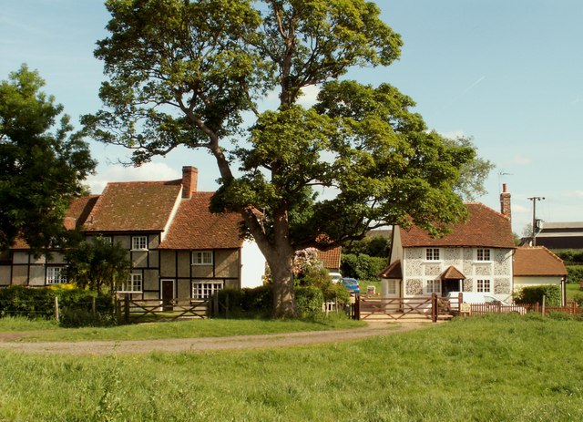
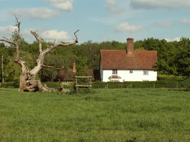
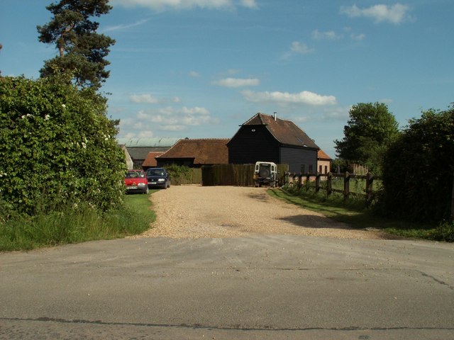
Whitegate Plantation is a historic estate located in Essex, England, specifically in the Wood Forest area. The plantation covers a vast area of land and is renowned for its picturesque surroundings and rich history. The estate is known for its stunning landscape, featuring beautiful woodlands and forests that provide a serene and tranquil ambiance.

The origins of Whitegate Plantation can be traced back to the 17th century when it was initially established as a hunting lodge for the wealthy elite. Over the years, the estate expanded and evolved into a thriving agricultural and residential community. Today, it serves as a private residence and a popular tourist attraction.

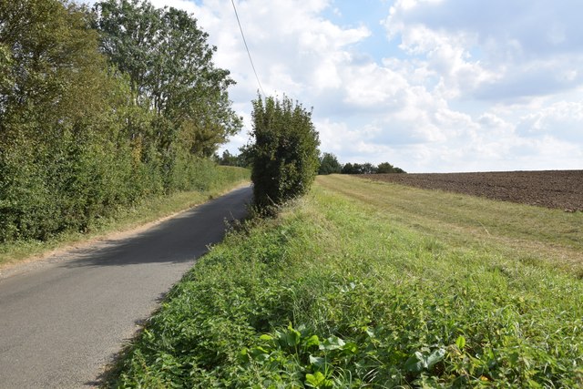
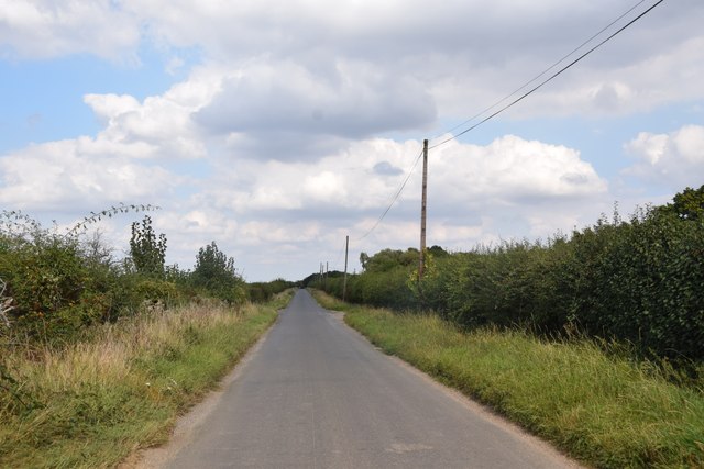
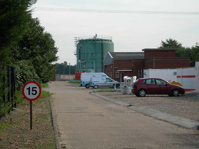
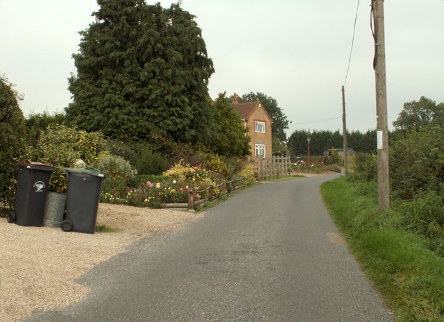
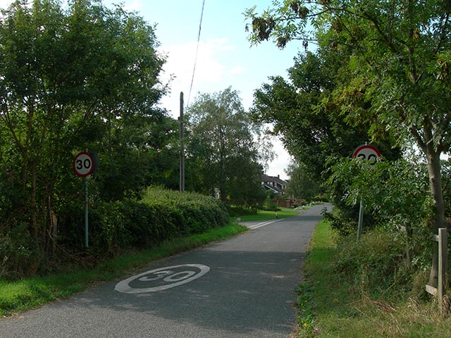
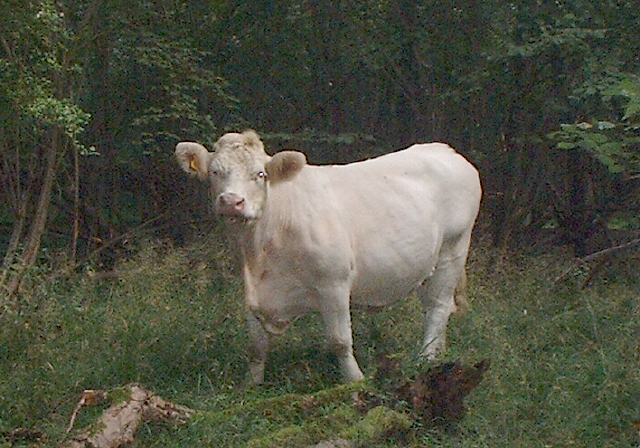
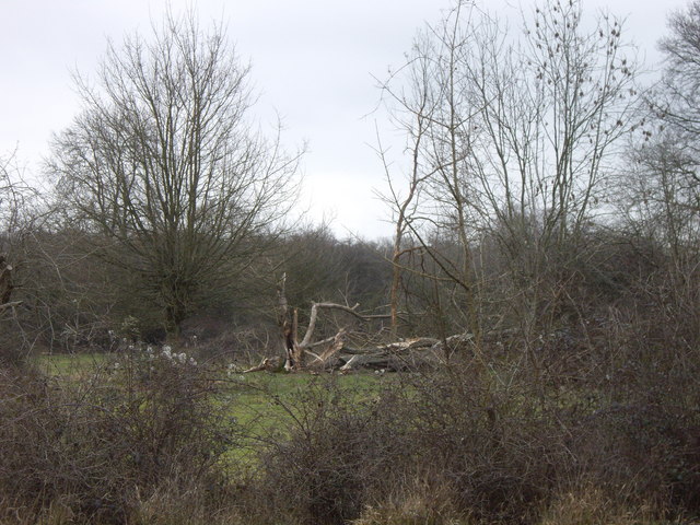
The main highlight of Whitegate Plantation is its meticulously maintained woodland and forest areas. These natural landscapes are home to a diverse range of flora and fauna, making it a haven for nature enthusiasts and wildlife lovers. Visitors can explore the numerous walking trails that wind through the plantation, allowing them to immerse themselves in the beauty of nature.

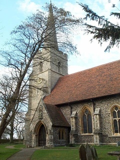
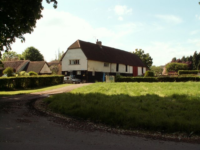
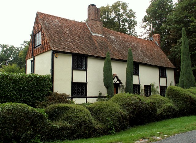
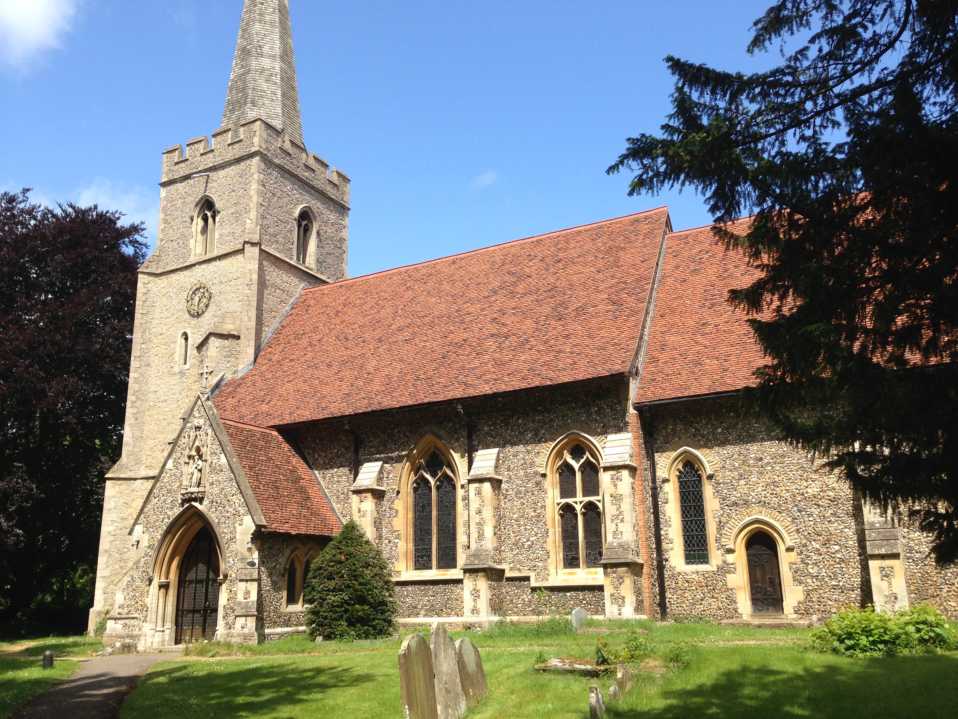
In addition to its natural beauty, Whitegate Plantation boasts several historic buildings and structures. The main manor house, dating back to the 18th century, is a prime example of Georgian architecture and offers a glimpse into the past. Surrounding the manor are beautifully manicured gardens, showcasing a variety of vibrant flowers and plants.

Overall, Whitegate Plantation in Essex is a captivating destination for those seeking a peaceful retreat in the heart of nature. With its stunning woodlands, historic buildings, and serene atmosphere, it offers a unique and unforgettable experience for visitors of all ages.

If you have any feedback on the listing, please let us know in the comments section below.

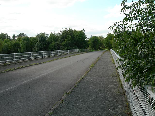
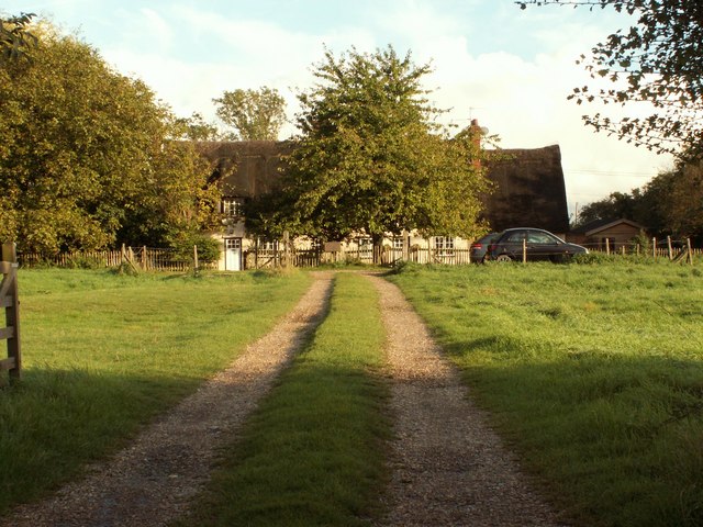
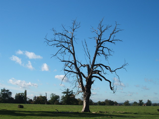
Whitegate Plantation Images

Images are sourced within 2km of 51.849165/0.20880313 or Grid Reference TL5219. Thanks to Geograph Open Source API. All images are credited.

Field, lane and a bit of hedgerow Taken on the lane between Copperfields and Forest Hall.
Field, lane and a bit of hedgerow
Taken on the lane between Copperfields and Forest Hall.
Straight road near Forest Farm This very straight section is about a kilometre in length and may mark the route of a Roman road heading for Takeley Street (several other straight sections occur between here and Takeley Street). "Street" in a place name often denotes a settlement on a Roman road and indeed Takeley Street is on Stane Street running east to west. I think it's not too fanciful to see this as a Roman route to Stane Street.
Straight road near Forest Farm
This very straight section is about a kilometre in length and may mark the route of a Roman road heading for Takeley Street (several other straight sections occur between here and Takeley Street). "Street" in a place name often denotes a settlement on a Roman road and indeed Takeley Street is on Stane Street running east to west. I think it's not too fanciful to see this as a Roman route to Stane Street.
The Shell House, Hatfield Forest Jacob Houblon III built The Shell House in about 1754. It was attached to a cottage by his new lake and was occupied by a housekeeper who kept poultry and peacocks. The cottage was later demolished. The Shell House has recently been restored by The National Trust.
The Shell House, Hatfield Forest
Jacob Houblon III built The Shell House in about 1754. It was attached to a cottage by his new lake and was occupied by a housekeeper who kept poultry and peacocks. The cottage was later demolished. The Shell House has recently been restored by The National Trust.
St. Giles, Great Hallingbury
Lodge Farm, Essex This farm is situated at the southern end of Hatfield Forest, near to Little Hallingbury.
Lodge Farm, Essex
This farm is situated at the southern end of Hatfield Forest, near to Little Hallingbury.
Cottages at Woodside Green, Essex Woodside Green is a lovely place, at the southern end of Hatfield Forest near Little Hallingbury.  There is a large green area here where cows roam freely.
Cottages at Woodside Green, Essex
Woodside Green is a lovely place, at the southern end of Hatfield Forest near Little Hallingbury. There is a large green area here where cows roam freely.
Woodfold cottage at Woodside Green, Essex Woodside Green is near Little Hallingbury.  This cottage is just one of the many pretty buildings dotted around Woodside Green.
Woodfold cottage at Woodside Green, Essex
Woodside Green is near Little Hallingbury. This cottage is just one of the many pretty buildings dotted around Woodside Green.
Forest Farm, near Hatfield Broad Oak, Essex
Stile and tunnel under M11 The public footpath to Great Hallingbury crosses the M11 by means of this tunnel
Stile and tunnel under M11
The public footpath to Great Hallingbury crosses the M11 by means of this tunnel
Bishop's Stortford sewage works The entrance to the Thames Water sewage works is located in Jenkins Lane just off the A1060
Bishop's Stortford sewage works
The entrance to the Thames Water sewage works is located in Jenkins Lane just off the A1060
New Barn Lane, Little Hallingbury, Essex This is by Normandale Kennels.
New Barn Lane, Little Hallingbury, Essex
This is by Normandale Kennels.
Howletts, Hallingbury Street, Essex Hallingbury Street is a dead-end road that is full of interesting houses. This old house stands by the start of the street in Bedlars Green.
Howletts, Hallingbury Street, Essex
Hallingbury Street is a dead-end road that is full of interesting houses. This old house stands by the start of the street in Bedlars Green.
Wrights Green village The entrance to the village on Goose Lane, 50 metres from the bridge over the M11 motorway.
Wrights Green village
The entrance to the village on Goose Lane, 50 metres from the bridge over the M11 motorway.
Goose Lane bridge Goose Lane, Wrights Green, crosses the M11 via this bridge, only 50 metres from the entrance to the village.
Goose Lane bridge
Goose Lane, Wrights Green, crosses the M11 via this bridge, only 50 metres from the entrance to the village.
Thatched cottage, close to Hatfield Forest, Essex
Heifer, Lodge Coppice, Hatfield Forest
Woodside Green, National Trust, near Hatfield Forest
Damaged trees in Hatfield Park Some unfortunate casualties from the storms in January 2007. Be sure to bring some wellies if you're venturing here too, it's a bit muddy!!
Damaged trees in Hatfield Park
Some unfortunate casualties from the storms in January 2007. Be sure to bring some wellies if you're venturing here too, it's a bit muddy!!
Show me another place!

Whitegate Plantation is located at Grid Ref: TL5219 (Lat: 51.849165, Lng: 0.20880313)

Administrative County: Essex

District: Uttlesford

Police Authority: Essex

What 3 Words

///gradually.outsiders.zest. Near Little Hallingbury, Essex

Related Wikis

Bedlar's Green

Bedlar's Green is a hamlet in the Uttlesford district of Essex, England adjacent to the village of Great Hallingbury.

Korean Air Cargo Flight 8509

Korean Air Cargo Flight 8509 was a Boeing 747-2B5F, registered HL7451 bound for Milan Malpensa Airport, that crashed due to instrument malfunction and...

Hatfield Forest

Hatfield Forest is a 403.2-hectare (996-acre) biological Site of Special Scientific Interest in Essex, three miles east of Bishop's Stortford. It is also...

Portingbury Hills

Portingbury Hills (grid reference TL5320) or Portingbury Rings is a hill in Hatfield Forest, Hatfield Broad Oak, Essex, United Kingdom. == Artefacts... ==

Start Hill, Essex

Start Hill is a hamlet on the B1256 road, in the Great Hallingbury civil parish, Uttlesford District, in the English county of Essex. It is near the town...

Great Hallingbury

Great Hallingbury is a village and a civil parish in the Uttlesford District of Essex, England. The population of the civil parish at the 2011 census was...

Little Hallingbury

Little Hallingbury is a small village and a civil parish in the Uttlesford district of Essex, England. == Geography == Little Hallingbury parish is on...

Rushy Mead

Rushy Mead is a 4.6-hectare (11-acre) nature reserve on the bank of the River Stort in Essex, between Sawbridgeworth and Bishop's Stortford. Until the...

Nearby Amenities

Located within 500m of 51.849165,0.20880313
Barrier: stile
Lat/Long: 51.8514531/0.2120095
The data included in this document is from www.openstreetmap.org. The data is made available under ODbL.

Have you been to Whitegate Plantation?

Leave your review of Whitegate Plantation below (or comments, questions and feedback).