Hallington
Settlement in Northumberland
England
Hallington

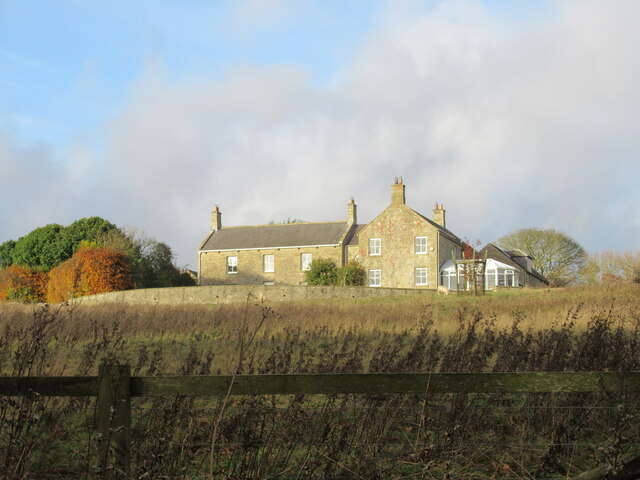
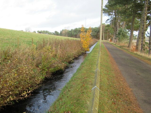
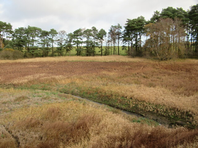
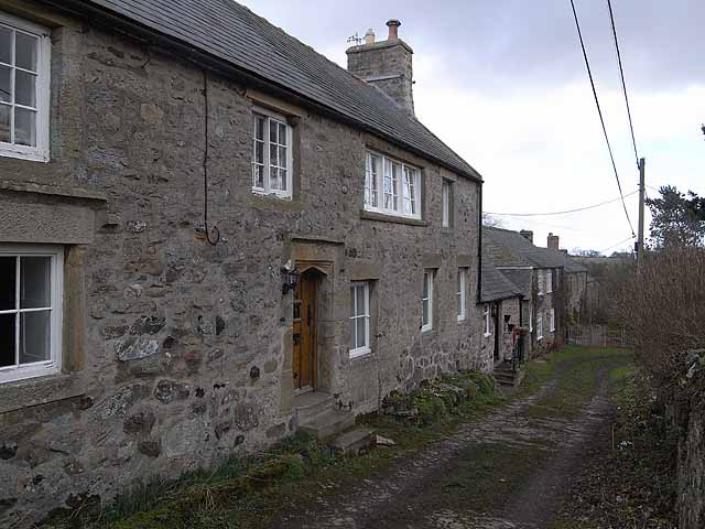
Hallington is a small village located in Northumberland, England. It is situated in the picturesque countryside, surrounded by rolling hills and fields. The village is known for its peaceful and tranquil atmosphere, making it a popular destination for those looking to escape the hustle and bustle of city life.
Hallington is home to a tight-knit community of residents who take pride in their village and work together to maintain its charm and character. The village features a mix of traditional stone cottages and newer residential properties, giving it a unique and charming aesthetic.
In terms of amenities, Hallington offers limited options, with a small pub and a village hall being the main gathering spots for residents. However, the nearby town of Alnwick provides a wider range of shops, restaurants, and services for residents to enjoy.
Overall, Hallington is a quiet and idyllic village that offers a peaceful retreat for those seeking a slower pace of life in the beautiful Northumberland countryside.
If you have any feedback on the listing, please let us know in the comments section below.
Hallington Images
Images are sourced within 2km of 55.076407/-2.030351 or Grid Reference NY9875. Thanks to Geograph Open Source API. All images are credited.


Hallington is located at Grid Ref: NY9875 (Lat: 55.076407, Lng: -2.030351)
Unitary Authority: Northumberland
Police Authority: Northumbria
What 3 Words
///direction.correctly.quicker. Near Birtley, Northumberland
Nearby Locations
Related Wikis

Hallington, Northumberland
Hallington is a hamlet and former civil parish about 9 miles from Hexham, now in the parish of Whittington, in the county of Northumberland, England. In...

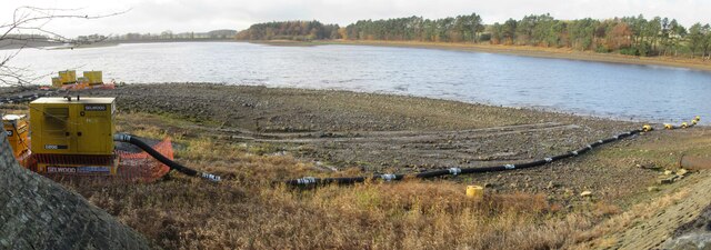
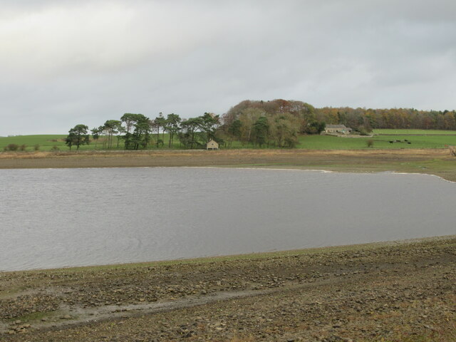
Hallington Reservoirs
Hallington Reservoirs are located near the small village of Colwell, Northumberland, England on the B6342 road off the A68 road, and 7 miles (11 km) north...

Colwell, Northumberland
Colwell is a hamlet in Northumberland, England. It is about 12 miles (19 km) to the north of Hexham. == Governance == Colwell is in the parliamentary constituency...
Bavington
Bavington is a civil parish in Northumberland, England. The parish includes the villages of Great Bavington, Little Bavington and Thockrington. According...
Nearby Amenities
Located within 500m of 55.076407,-2.030351Have you been to Hallington?
Leave your review of Hallington below (or comments, questions and feedback).