Yorkston Moss
Downs, Moorland in Midlothian
Scotland
Yorkston Moss
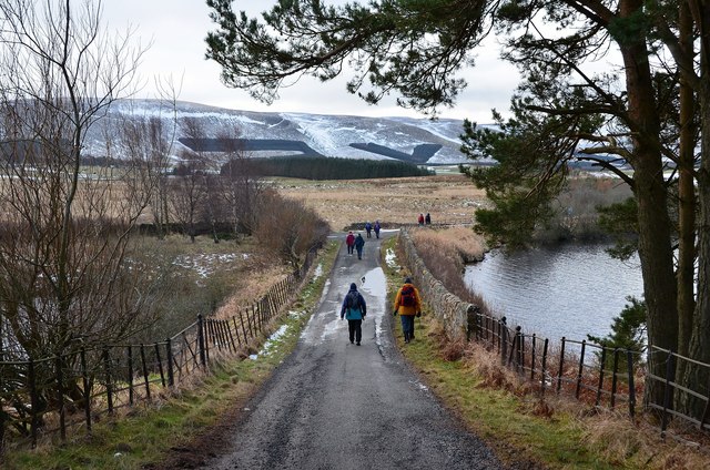
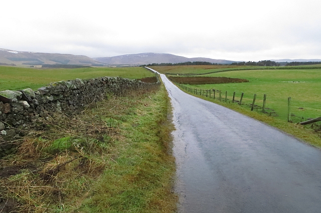
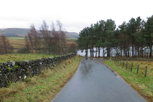
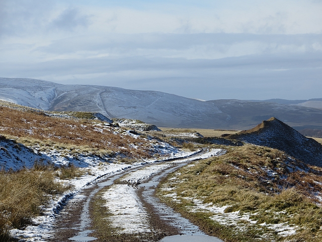
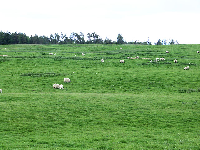
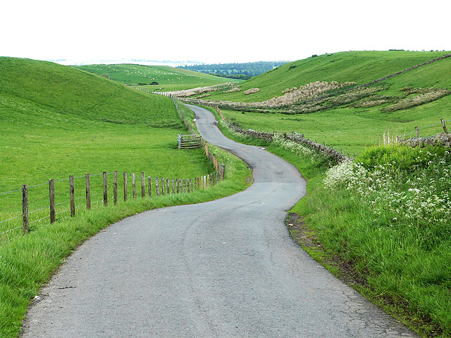
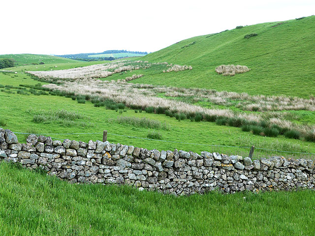
Yorkston Moss is a picturesque area located in Midlothian, Scotland, known for its diverse landscape consisting of downs, moorland, and marshland. Situated in the southern part of the county, it covers a substantial area of approximately 500 acres.
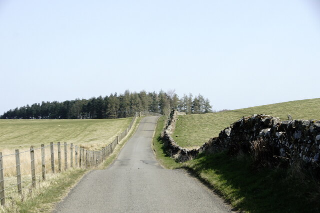
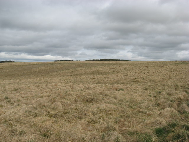
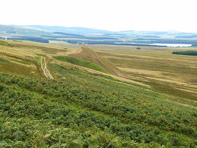
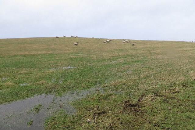
The downs in Yorkston Moss are characterized by rolling hills and open grassy plains. These elevated areas provide stunning panoramic views of the surrounding countryside, making it a popular spot for nature enthusiasts and hikers. The downs are home to a variety of flora and fauna, including heather, gorse, and numerous species of birds.
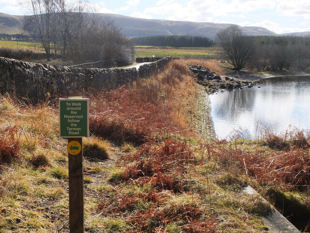
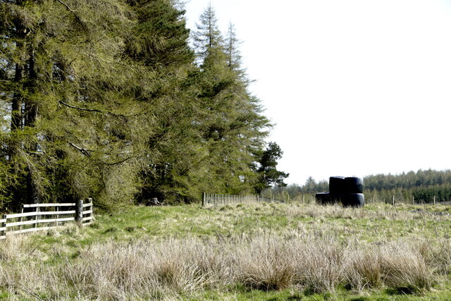
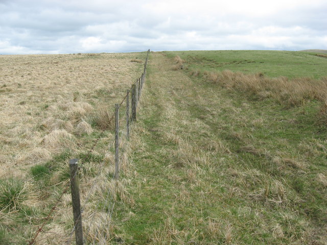
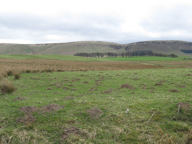
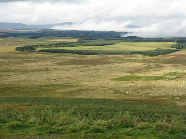
The moorland in Yorkston Moss is a vast expanse of wet and boggy terrain, covered in heather, grasses, and mosses. This unique ecosystem supports a range of wildlife, such as deer, rabbits, and various bird species. The moorland is particularly beautiful during the flowering season when the vibrant colors of the heather create a stunning contrast against the green landscape.
The marshland in Yorkston Moss consists of wet, low-lying areas with an abundance of water-loving plants and reeds. It provides a crucial habitat for numerous species of insects, amphibians, and waterfowl. The marshland also plays a vital role in water filtration and flood control, contributing to the overall ecological balance of the region.
Overall, Yorkston Moss offers a diverse and captivating natural environment, with its downs, moorland, and marshland providing a rich tapestry of landscapes and a haven for a wide range of plant and animal life. It is a place of tranquility and beauty, attracting visitors who seek to immerse themselves in the wonders of nature.
If you have any feedback on the listing, please let us know in the comments section below.
Yorkston Moss Images
Images are sourced within 2km of 55.779166/-3.0762059 or Grid Reference NT3254. Thanks to Geograph Open Source API. All images are credited.
Yorkston Moss is located at Grid Ref: NT3254 (Lat: 55.779166, Lng: -3.0762059)
Unitary Authority: Midlothian
Police Authority: The Lothians and Scottish Borders
What 3 Words
///midwinter.pitching.widest. Near Gorebridge, Midlothian
Nearby Locations
Related Wikis

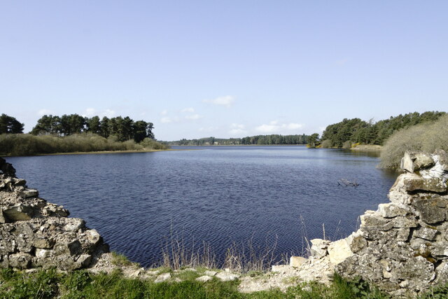
Gladhouse Reservoir
Gladhouse Reservoir, formerly known as Moorfoot Loch, is a reservoir in Midlothian, Scotland, five miles (8 km) south of Penicuik. It is the most southerly...

Garvald, Scottish Borders
Garvald (Scots: Garvit) is a hamlet on the B7007, near Dewar, by the Dewar Burn, in the Moorfoot Hills, in the Scottish Borders area of Scotland, in the...

Temple, Midlothian
Temple (Scottish Gaelic: Baile nan Trodach) is a village and civil parish in Midlothian, Scotland. Situated to the south of Edinburgh, the village lies...

Carcant
Carcant is a small settlement and a wind farm, near Heriot in the Scottish Borders area of Scotland. A famous inhabitant of Carcant was Eric Liddell....
Edgelaw Reservoir
Edgelaw Reservoir is an artificial reservoir in Midlothian, Scotland, UK, four miles west of Temple. It was created in 1880 by James Leslie and his son...

Arniston House
Arniston House is a historic house in Midlothian, Scotland, near the village of Temple. This Georgian mansion was designed by William Adam in 1726 for...

Moorfoot Hills
The Moorfoot Hills are a range of hills south of Edinburgh in east central Scotland, one of the ranges which collectively form the Southern Uplands....

Midlothian (UK Parliament constituency)
Midlothian in Scotland is a county constituency of the House of Commons of the Parliament of the United Kingdom. It elects one Member of Parliament (MP...
Have you been to Yorkston Moss?
Leave your review of Yorkston Moss below (or comments, questions and feedback).