Hulleter Out Pastures
Downs, Moorland in Lancashire South Lakeland
England
Hulleter Out Pastures
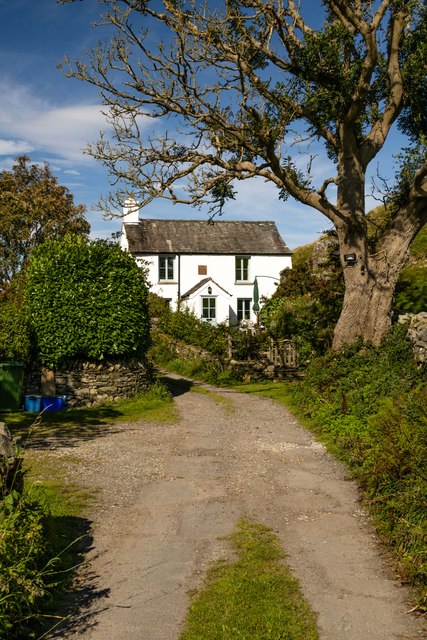
Hulleter Out Pastures is a picturesque area located in Lancashire, England, known for its diverse landscape that encompasses downs, moorland, and rolling hills. Spanning over hundreds of acres, this vast expanse of countryside offers a tranquil retreat for nature enthusiasts and outdoor explorers.
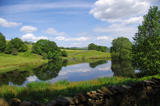
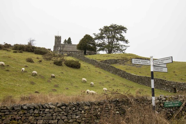
The downs of Hulleter Out Pastures showcase sprawling green fields, dotted with wildflowers and grazing livestock. The undulating terrain and gentle slopes offer breathtaking views of the surrounding countryside, making it a popular spot for hikers and photographers alike.
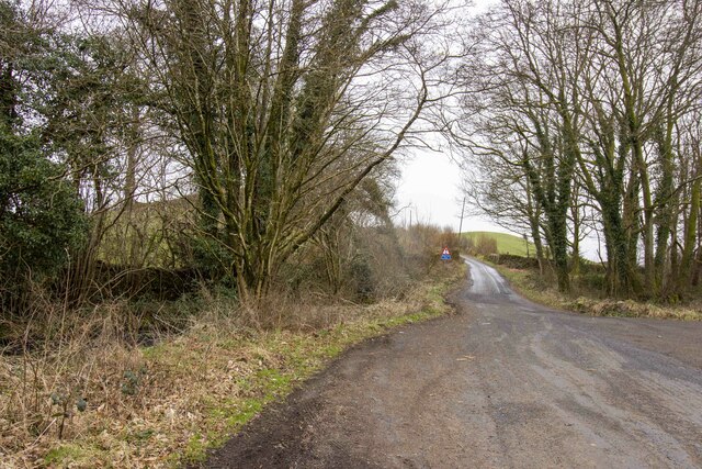
Venturing further into the area, visitors will discover the captivating moorland of Hulleter Out Pastures. Characterized by its heather-covered hills and rocky outcrops, this rugged landscape provides a habitat for a variety of wildlife, including birds of prey and rare plant species. The moorland is crisscrossed by a network of walking trails, allowing visitors to immerse themselves in the tranquil beauty of the area while enjoying a leisurely hike.
Hulleter Out Pastures is also home to a number of streams and small water bodies, adding to the overall charm of the landscape. These water features provide a habitat for aquatic life and create a soothing ambiance for visitors seeking a peaceful escape from the hustle and bustle of everyday life.
Overall, Hulleter Out Pastures in Lancashire is a haven for nature lovers, offering a diverse range of landscapes and a wealth of natural beauty to explore and enjoy.
If you have any feedback on the listing, please let us know in the comments section below.
Hulleter Out Pastures Images
Images are sourced within 2km of 54.285105/-3.0365143 or Grid Reference SD3288. Thanks to Geograph Open Source API. All images are credited.


Hulleter Out Pastures is located at Grid Ref: SD3288 (Lat: 54.285105, Lng: -3.0365143)
Administrative County: Cumbria
District: South Lakeland
Police Authority: Cumbria
What 3 Words
///overheat.searching.reseller. Near Ulverston, Cumbria
Nearby Locations
Related Wikis

Oxen Park
Oxen Park is a hamlet in the English county of Cumbria. Oxen Park lies on the watershed between Rusland and Colton Beck valleys in South Lakeland, and...
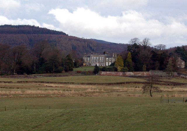
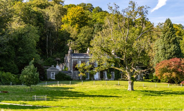
Rusland Hall
Rusland Hall is a country house in the English Lake District. The present building dates from about 1720. The Hall was owned by the Rawlinson family in...

North Lonsdale Rural District
North Lonsdale was a rural district in the county of Lancashire, England from 1894 to 1974. It was created in 1894 as the Ulverston Rural District, and...

Rusland, Cumbria
Rusland is a village in the South Lakeland district of Cumbria, England. It is located just to the southwest of Crosslands in the civil parish of Colton...

Crosslands
Crosslands is a hamlet in the South Lakeland district of Cumbria, England. It is located just to the northeast of Rusland in the civil parish of Colton...

Bandrake Head
Bandrake Head is a village in Cumbria, England. == External links == Media related to Bandrake Head at Wikimedia Commons

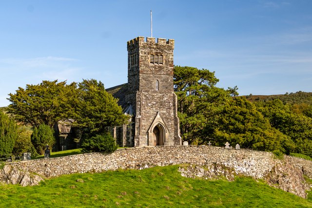
Holy Trinity Church, Colton
Holy Trinity Church is located to the east of the village of Colton, Cumbria, England. It is an active Anglican parish church in the deanery of Furness...
Colton, Cumbria
Colton is a village and civil parish in the South Lakeland district of Cumbria, England. In the 2001 census the parish had a population of 765, decreasing...
Nearby Amenities
Located within 500m of 54.285105,-3.0365143Have you been to Hulleter Out Pastures?
Leave your review of Hulleter Out Pastures below (or comments, questions and feedback).