Aston Park
Downs, Moorland in Shropshire
England
Aston Park
Aston Park is a stunning natural reserve located in Shropshire, England. Spread across vast expanses of downs and moorland, it spans approximately 2,000 acres, making it one of the largest parks in the region. The park is renowned for its breathtaking landscapes and diverse wildlife, attracting nature enthusiasts from far and wide.
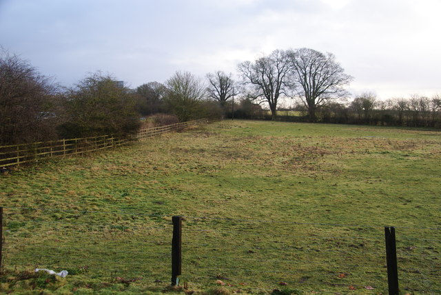
The downs of Aston Park offer visitors picturesque panoramic views of the surrounding countryside. Rolling hills and grassy meadows create a serene atmosphere, perfect for a leisurely stroll or a peaceful picnic. The park is home to a wide variety of flora and fauna, including wildflowers, heather, and several species of birds and butterflies. Wildlife enthusiasts will have the opportunity to spot rabbits, hares, and maybe even a red deer or two.
The moorland section of Aston Park is characterized by its rugged terrain and heathland vegetation. Visitors can explore the moors through well-maintained footpaths and trails, which provide access to some of the most scenic areas of the park. The moorland is also home to a range of bird species, including skylarks and stonechats.
Aston Park offers something for everyone, from nature lovers and hikers to families and photographers. The park provides ample opportunities for outdoor activities such as cycling, horseback riding, and wildlife spotting. Its serene and untouched landscapes make it an ideal destination for those seeking tranquility and a connection with nature.
If you have any feedback on the listing, please let us know in the comments section below.
Aston Park Images
Images are sourced within 2km of 52.838733/-3.0022706 or Grid Reference SJ3227. Thanks to Geograph Open Source API. All images are credited.


Aston Park is located at Grid Ref: SJ3227 (Lat: 52.838733, Lng: -3.0022706)
Unitary Authority: Shropshire
Police Authority: West Mercia
What 3 Words
///gong.gymnasium.dolly. Near Whittington, Shropshire
Nearby Locations
Related Wikis
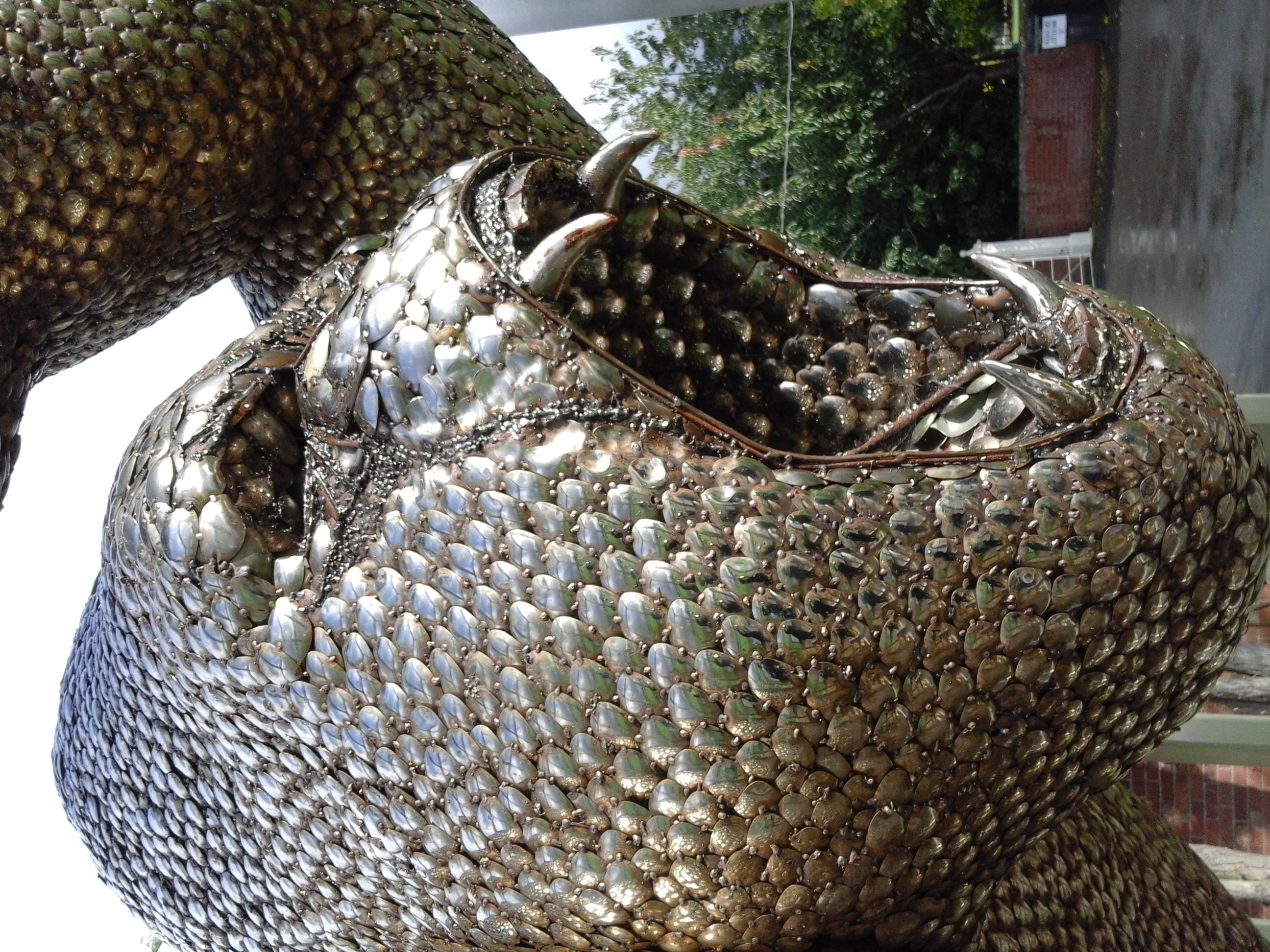
British Ironworks Centre & Shropshire Sculpture Park
The British Ironworks Centre & Shropshire Sculpture Park is a forge, silversmiths and sculpture park with a large showroom near Oswestry in Shropshire...
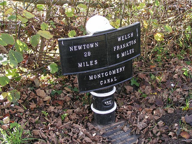
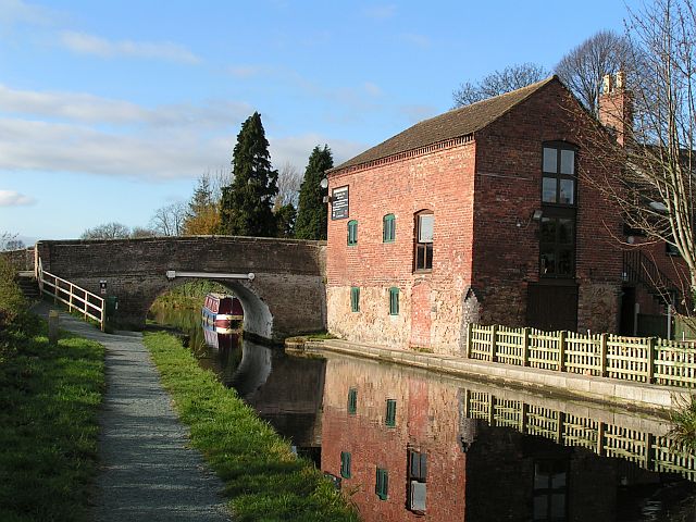
Montgomery Canal
The Montgomery Canal (Welsh: Camlas Trefaldwyn), known colloquially as "The Monty", is a partially restored canal in eastern Powys and northwest Shropshire...
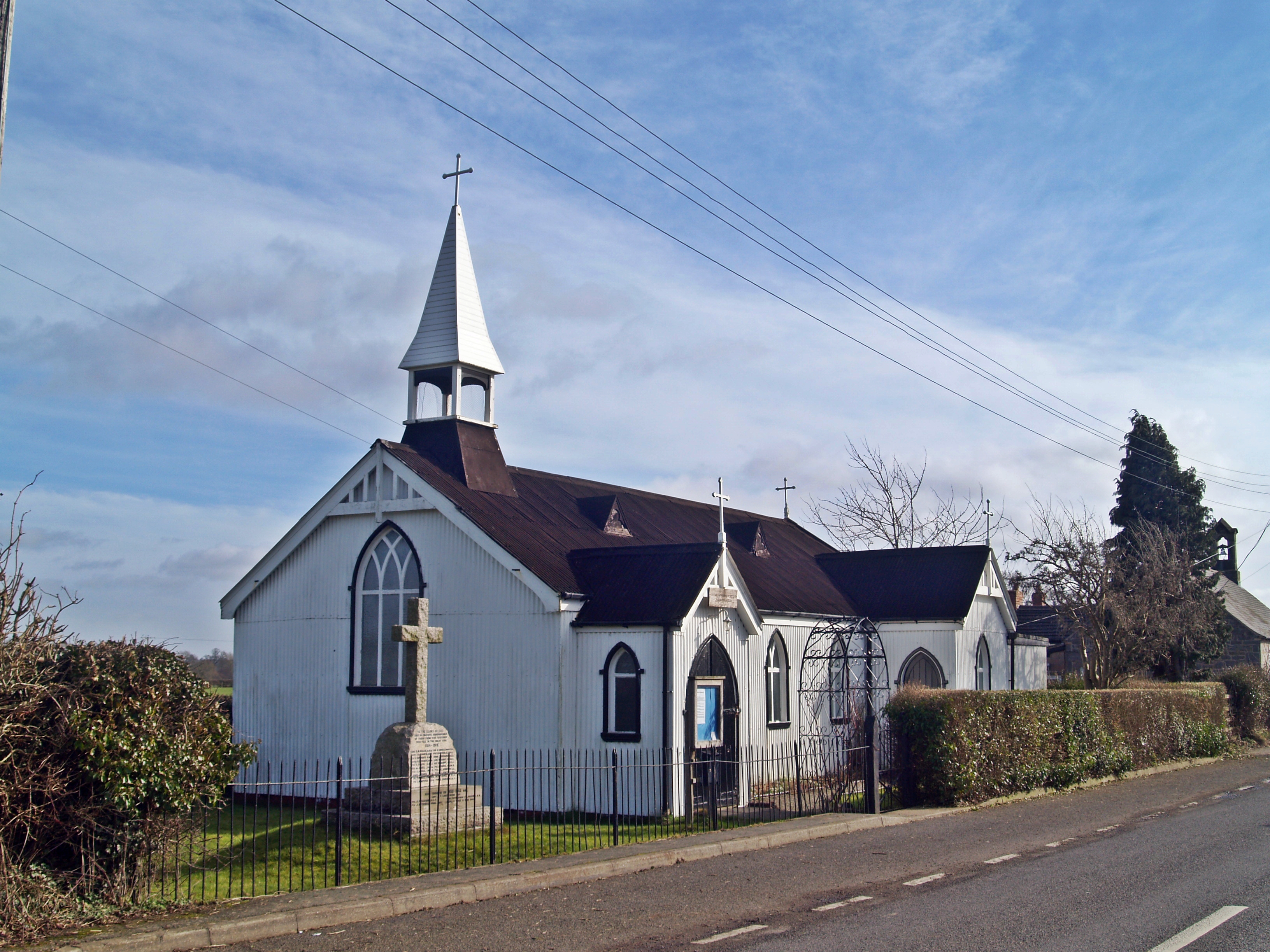
Maesbury
Maesbury is a small scattered community in Shropshire, England, south of the town of Oswestry, falling within the Oswestry Rural parish. The name is derived...
Ashfield, Shropshire
Ashfield is a hamlet in Shropshire, England. It is situated about a minor crossroads, just to the northwest of Maesbury Marsh, at an elevation of 84 metres...

West Felton
West Felton is a village and civil parish near Oswestry in Shropshire, England. At the 2001 census the parish, which also includes the settlements of Rednal...

Weston Wharf railway station
Weston Wharf is a railway station on the Cambrian Heritage Railways' line in Shropshire on the former Oswestry and Newtown Railway. It is located just...

Rednal rail crash
Rednal rail crash was a rail accident that occurred near Rednal station in Shropshire. On 7 June 1865 a permanent way (groundwork and rails) gang were...
Rednal and West Felton railway station
Rednal & West Felton railway station was a minor station on the GWR's Paddington to Birkenhead main line. Today this is part of the Shrewsbury to Chester...
Nearby Amenities
Located within 500m of 52.838733,-3.0022706Have you been to Aston Park?
Leave your review of Aston Park below (or comments, questions and feedback).