Armboth Fell

Downs, Moorland in Cumberland Allerdale

England

Armboth Fell

Launchy Gill Footbridge over Launchy Gill.
Launchy Gill Credit: Peter McDermott

Armboth Fell is a prominent fell located in the county of Cumberland, England. It is part of the stunning Lake District National Park, renowned for its picturesque landscapes and natural beauty. Standing at an elevation of 479 meters (1,572 feet), Armboth Fell offers breathtaking panoramic views of its surroundings.

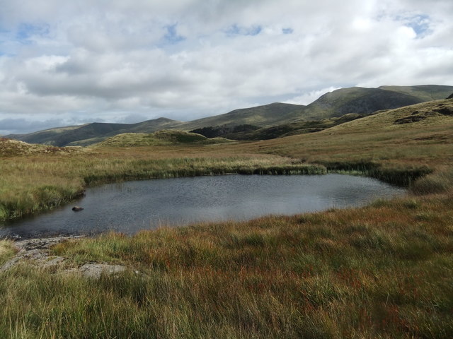
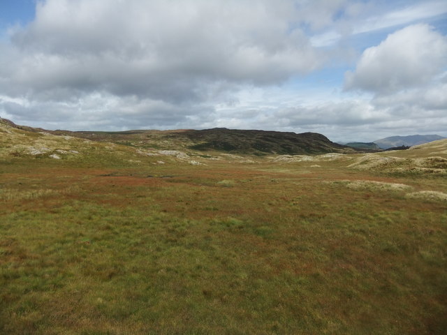
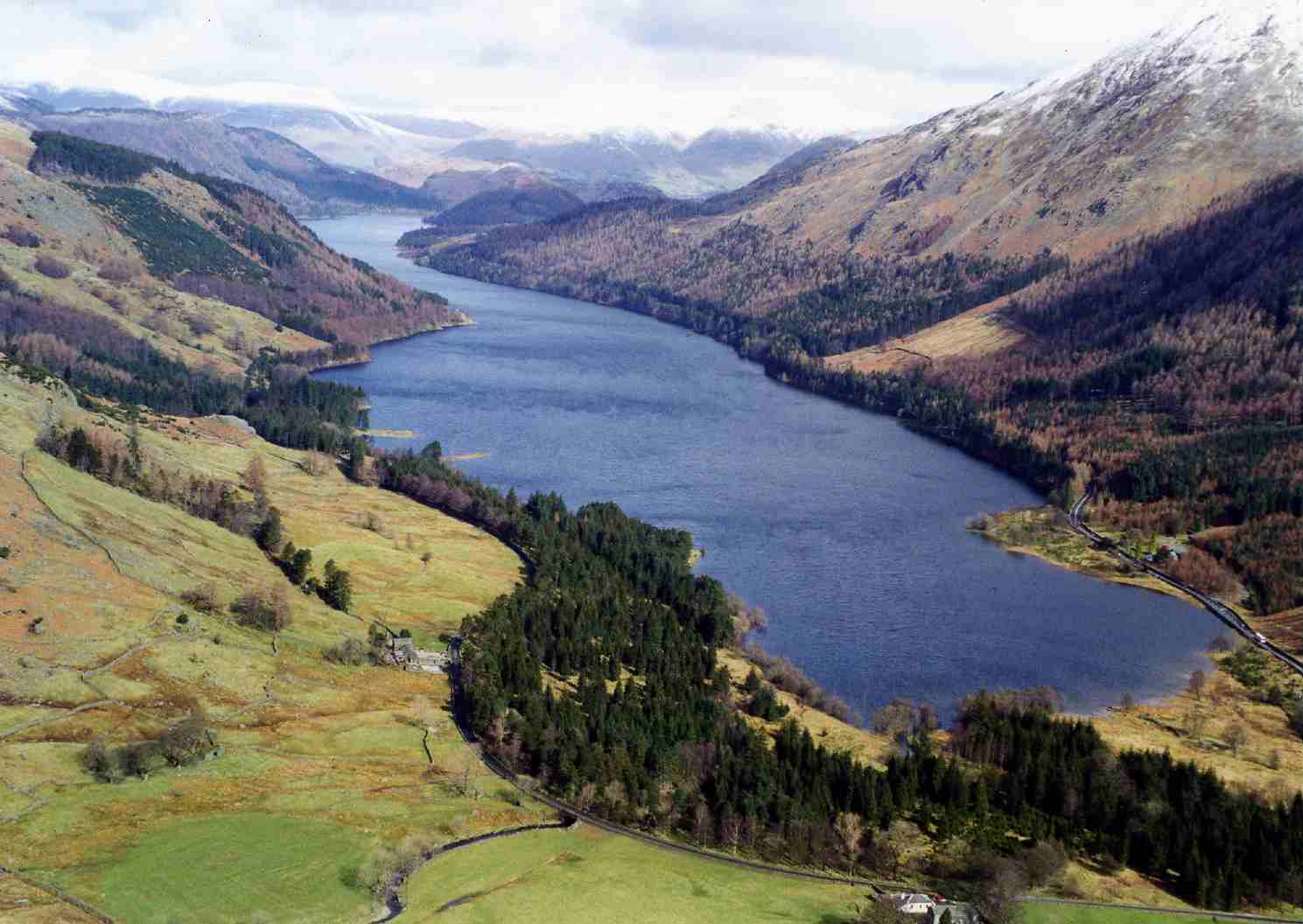
The fell is characterized by its undulating terrain, consisting of grassy slopes, heather moorland, and rocky outcrops. It forms part of the Central Fells, which are a group of hills located between the valleys of Borrowdale and Thirlmere. Armboth Fell is situated on the eastern side of Thirlmere Reservoir, an impressive body of water that serves as a vital water source for the city of Manchester.

The summit of Armboth Fell is marked by a cairn, providing a perfect spot for walkers and hikers to pause and admire the stunning vistas. On a clear day, one can see the nearby peaks of Helvellyn, High Seat, and Bleaberry Fell, among others. The fell is a popular destination for outdoor enthusiasts, offering various walking routes and trails that cater to different levels of difficulty.

Armboth Fell is also home to a diverse range of flora and fauna, including heather, bilberry, and cotton grass, as well as birds such as curlews and skylarks. The fell provides a tranquil and remote setting, allowing visitors to immerse themselves in the peacefulness of the countryside.

Overall, Armboth Fell is a captivating location within the Lake District National Park, offering a rewarding experience for those seeking to explore its natural wonders and enjoy the tranquility of the moorland.

If you have any feedback on the listing, please let us know in the comments section below.
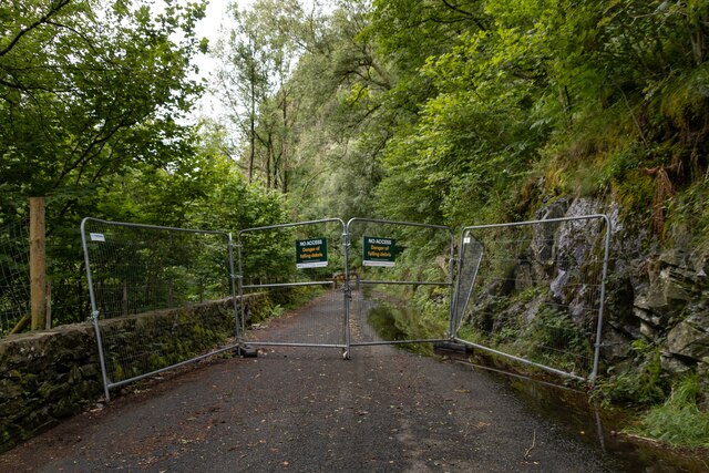
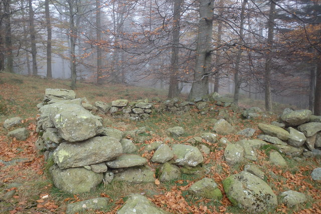
Armboth Fell Images

Images are sourced within 2km of 54.531834/-3.0882686 or Grid Reference NY2915. Thanks to Geograph Open Source API. All images are credited.

Launchy Gill Footbridge over Launchy Gill.
Launchy Gill
Footbridge over Launchy Gill.
Thirlmere Hawes How Island on Thirlmere.
Thirlmere
Hawes How Island on Thirlmere.
Launchy Gill
Launchy Gill
Thirlmere
Thirlmere
Thirlmere Road alongside Thirlmere, currently closed due to rockfall.
Thirlmere
Road alongside Thirlmere, currently closed due to rockfall.
Thirlmere I think
Thirlmere
I think
Ruin above Mosshause Gill May be an old fold. Near the exit from the forest on to the open fellside.
Ruin above Mosshause Gill
May be an old fold. Near the exit from the forest on to the open fellside.
By Thirlmere Autumn in full swing
By Thirlmere
Autumn in full swing
Launchy Tarn A delightful spot off the beaten track and enhanced by the sound of gently running water.
Launchy Tarn
A delightful spot off the beaten track and enhanced by the sound of gently running water.
Launchy Gill from near Stone Hause The map shows a tarn here and there are frequent small areas of standing water but no tarn-just a bog.
Launchy Gill from near Stone Hause
The map shows a tarn here and there are frequent small areas of standing water but no tarn-just a bog.
Thirlmere Reservoir from Rough Crag This was viewed from a rocky outcrop on a fine December morning.
Thirlmere Reservoir from Rough Crag
This was viewed from a rocky outcrop on a fine December morning.
Herdwick sheep at Rough Crag These sheep seemed to be quite happy grazing in a wooded area on the west side of Thirlmere Reservoir.
Herdwick sheep at Rough Crag
These sheep seemed to be quite happy grazing in a wooded area on the west side of Thirlmere Reservoir.
Thirlmere reservoir. A terribly rainy day.
Thirlmere reservoir.
A terribly rainy day.
Thirlmere from Armboth The foreshore by the Armboth car park is seen in the bottom foreground. The dam is just discernible at the end of the lake. There is a boat launching area here but motor vessels are not allowed as this is Manchester's drinking water.
Thirlmere from Armboth
The foreshore by the Armboth car park is seen in the bottom foreground. The dam is just discernible at the end of the lake. There is a boat launching area here but motor vessels are not allowed as this is Manchester's drinking water.
Launchy Gill Thirlmere is seen in the background. The path crosses the gill on a foot bridge at this point and the lakeside road is above and behind the photographer.
Launchy Gill
Thirlmere is seen in the background. The path crosses the gill on a foot bridge at this point and the lakeside road is above and behind the photographer.
Thirlmere from the foreshore This is by where Launchy Gill enters this lake converted to a reservoir.
Thirlmere from the foreshore
This is by where Launchy Gill enters this lake converted to a reservoir.
Thirlmere - patterns in the water Froth whipped up as Launchy Gill enters Thirlmere. Hawes How Island is seen in the background.
Thirlmere - patterns in the water
Froth whipped up as Launchy Gill enters Thirlmere. Hawes How Island is seen in the background.
Thirlmere Reservoir at Sunrise This view of the reservoir was taken in early January from Smaithwaite Banks.
Thirlmere Reservoir at Sunrise
This view of the reservoir was taken in early January from Smaithwaite Banks.
Show me another place!

Armboth Fell is located at Grid Ref: NY2915 (Lat: 54.531834, Lng: -3.0882686)

Administrative County: Cumbria

District: Allerdale

Police Authority: Cumbria

What 3 Words

///giggled.quilt.smaller. Near Keswick, Cumbria

Nearby Locations

Armboth Fell Armboth Fell

Related Wikis

Armboth Fell

Armboth Fell is a fell in the English Lake District, regarded by Alfred Wainwright as the centre of Lakeland. It is named for the former settlement of...

High Tove

High Tove is a fell in the English Lake District, close to the geographical centre of the Cumbrian hills. It forms part of the watershed between the Derwentwater...

Thirlmere

Thirlmere is a reservoir in the Borough of Allerdale in Cumbria and the English Lake District. The Helvellyn ridge lies to the east of Thirlmere. To the...

Bell Crags

Bell Crags (also known as Long Moss or Blea Tarn Fell) is a hill of 559.1 metres (1,834 ft) in the Lake District, England. It lies between Borrowdale...

Nearby Amenities

Located within 500m of 54.531834,-3.0882686
Armboth Fell
Ele: 479
Natural: peak
Source: npe
Wikidata: Q4792916
Wikipedia: en:Armboth Fell
Lat/Long: 54.5341188/-3.0884821
Armboth Fell (Wainwright)
Ele: 475
Natural: peak
Source: npe
Lat/Long: 54.5320443/-3.0896334
The data included in this document is from www.openstreetmap.org. The data is made available under ODbL.

Have you been to Armboth Fell?

Leave your review of Armboth Fell below (or comments, questions and feedback).