Armboth Fell

Hill, Mountain in Cumberland Allerdale

England

Armboth Fell

Launchy Gill Footbridge over Launchy Gill.
Launchy Gill Credit: Peter McDermott

Armboth Fell is a hill located in the Lake District National Park in the county of Cumberland, England. Standing at an elevation of 475 meters (1,558 feet), it is classified as a "Wainwright Fell," named after the famous British fell walker and author, Alfred Wainwright.

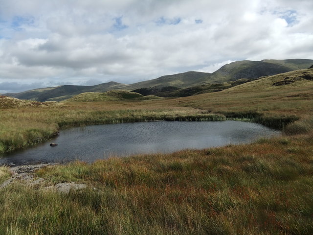
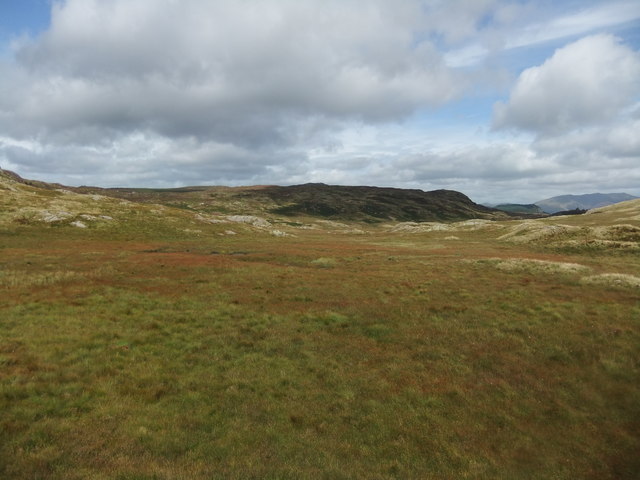
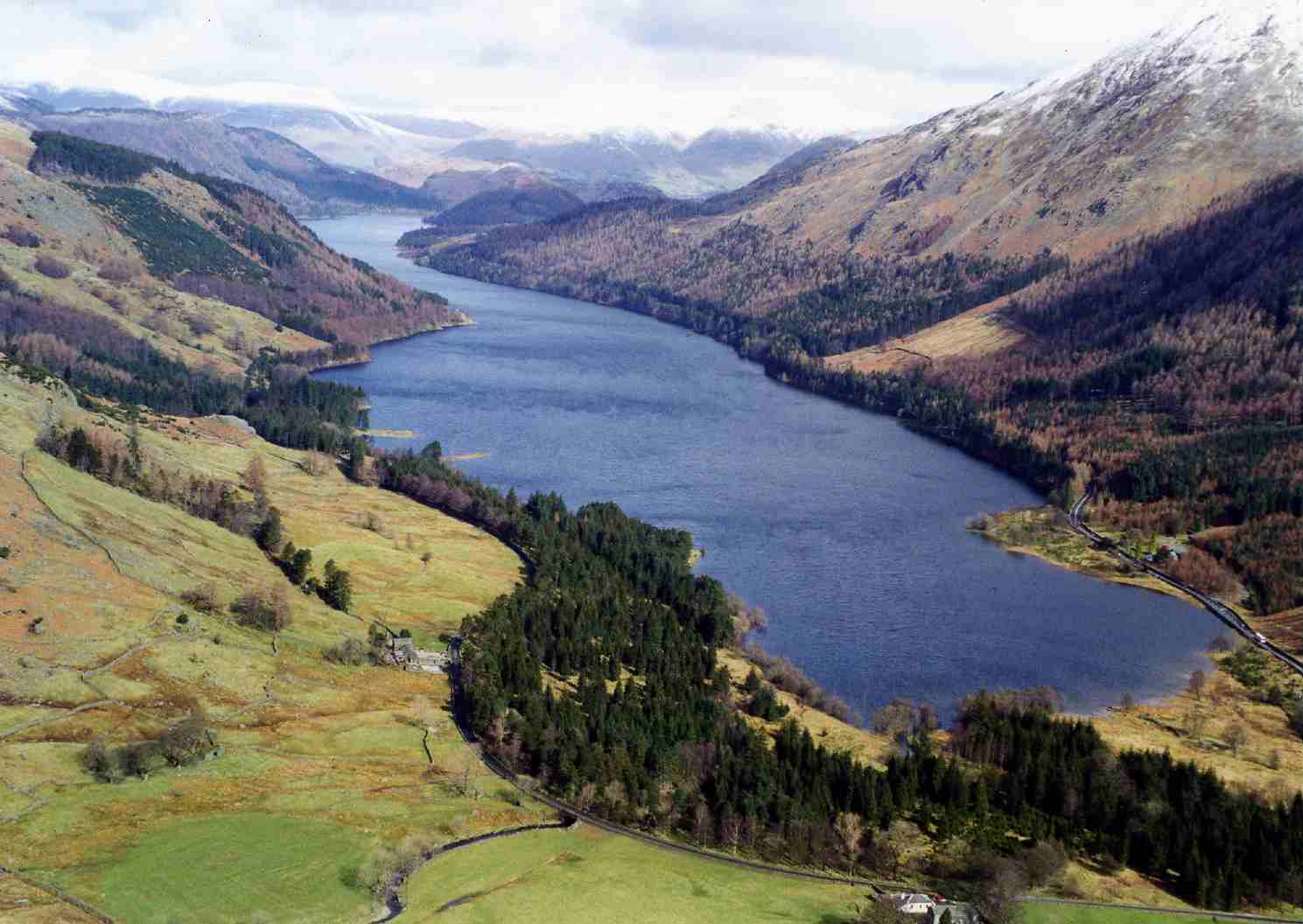
Situated on the western side of Thirlmere Reservoir, Armboth Fell offers stunning panoramic views of the surrounding landscape. Its gentle slopes and grassy terrain make it a popular destination for hikers and nature enthusiasts looking for a relatively easy ascent. The hill is characteristically covered in heather and bracken, adding a touch of color to the landscape during the summer months.

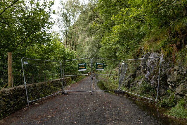
To reach the summit, visitors can follow various footpaths that start from the shores of Thirlmere Reservoir, such as the path from Armboth car park. Along the way, walkers can appreciate the diverse flora and fauna, including several species of birds and wildflowers.

Armboth Fell provides an excellent vantage point to admire the beauty of the Lake District. The views extend over Thirlmere Reservoir, with the backdrop of the Helvellyn range, including the famous Helvellyn peak. On clear days, it is even possible to catch a glimpse of the Solway Firth and the Scottish hills in the distance.

Overall, Armboth Fell offers a tranquil and picturesque setting for outdoor enthusiasts to explore the natural wonders of the Lake District, providing a rewarding experience for both novice and experienced hillwalkers alike.

If you have any feedback on the listing, please let us know in the comments section below.

Armboth Fell Images

Images are sourced within 2km of 54.534064/-3.0882043 or Grid Reference NY2915. Thanks to Geograph Open Source API. All images are credited.

Launchy Gill Footbridge over Launchy Gill.
Launchy Gill
Footbridge over Launchy Gill.
Thirlmere Hawes How Island on Thirlmere.
Thirlmere
Hawes How Island on Thirlmere.
Launchy Gill
Launchy Gill
Thirlmere
Thirlmere
Thirlmere Road alongside Thirlmere, currently closed due to rockfall.
Thirlmere
Road alongside Thirlmere, currently closed due to rockfall.
Stone laid path with clumps of heather The path has risen from Watendlath and continues to the summit of High Tove, though not in the well-constructed form seen in the image. The heather, (Calluna vulgaris), is at the peak of its flowering.
Stone laid path with clumps of heather
The path has risen from Watendlath and continues to the summit of High Tove, though not in the well-constructed form seen in the image. The heather, (Calluna vulgaris), is at the peak of its flowering.
Thirlmere I think
Thirlmere
I think
By Thirlmere Autumn in full swing
By Thirlmere
Autumn in full swing
Spaniels enjoy "busman's holiday" at Thirlmere The reservoir here at Thirlmere was created by Manchester Corporation Water Works to supply water to the city of Manchester. Previously, the valley had contained two smaller lakes. The water level was raised and the two lakes merged when the dam was built at the northern end in 1894.
Spaniels enjoy "busman's holiday" at Thirlmere
The reservoir here at Thirlmere was created by Manchester Corporation Water Works to supply water to the city of Manchester. Previously, the valley had contained two smaller lakes. The water level was raised and the two lakes merged when the dam was built at the northern end in 1894.
Rain, rain, and more rain....... It has been raining continually for three or more days and it shows. The area is sodden but the dearth of tourists make the visit all the more special now in late autumn. I wasn't impressed by some of the attitudes shown by some of the 4X4 mounted, local, rustics whom WW referred to as "moonstruck, silly lads". I witnessed aggression shown on several occasions by the former if their journey was momentarily delayed by a visitor referring to a map. Fortunately on these occasions it could be deduced that the IQ of the said rustics was probably outnumbered by their welly size.
Rain, rain, and more rain.......
It has been raining continually for three or more days and it shows. The area is sodden but the dearth of tourists make the visit all the more special now in late autumn. I wasn't impressed by some of the attitudes shown by some of the 4X4 mounted, local, rustics whom WW referred to as "moonstruck, silly lads". I witnessed aggression shown on several occasions by the former if their journey was momentarily delayed by a visitor referring to a map. Fortunately on these occasions it could be deduced that the IQ of the said rustics was probably outnumbered by their welly size.
Launchy Tarn A delightful spot off the beaten track and enhanced by the sound of gently running water.
Launchy Tarn
A delightful spot off the beaten track and enhanced by the sound of gently running water.
Launchy Gill from near Stone Hause The map shows a tarn here and there are frequent small areas of standing water but no tarn-just a bog.
Launchy Gill from near Stone Hause
The map shows a tarn here and there are frequent small areas of standing water but no tarn-just a bog.
Thirlmere Reservoir from Rough Crag This was viewed from a rocky outcrop on a fine December morning.
Thirlmere Reservoir from Rough Crag
This was viewed from a rocky outcrop on a fine December morning.
Thirlmere reservoir. A terribly rainy day.
Thirlmere reservoir.
A terribly rainy day.
Permissive path near Thirlmere The path here uses a water board track which doesn't gave any views of Thirlmere. The lake is through the trees to the left.
Permissive path near Thirlmere
The path here uses a water board track which doesn't gave any views of Thirlmere. The lake is through the trees to the left.
Thirlmere View from a viewpoint towards the reservoir early on a rather misty morning.
Thirlmere
View from a viewpoint towards the reservoir early on a rather misty morning.
Thirlmere from Armboth The foreshore by the Armboth car park is seen in the bottom foreground. The dam is just discernible at the end of the lake. There is a boat launching area here but motor vessels are not allowed as this is Manchester's drinking water.
Thirlmere from Armboth
The foreshore by the Armboth car park is seen in the bottom foreground. The dam is just discernible at the end of the lake. There is a boat launching area here but motor vessels are not allowed as this is Manchester's drinking water.
Launchy Gill Thirlmere is seen in the background. The path crosses the gill on a foot bridge at this point and the lakeside road is above and behind the photographer.
Launchy Gill
Thirlmere is seen in the background. The path crosses the gill on a foot bridge at this point and the lakeside road is above and behind the photographer.
Show me another place!

Armboth Fell is located at Grid Ref: NY2915 (Lat: 54.534064, Lng: -3.0882043)

Administrative County: Cumbria

District: Allerdale

Police Authority: Cumbria

What 3 Words

///twinkled.successes.recitals. Near Keswick, Cumbria

Nearby Locations

Armboth Fell Armboth Fell

Related Wikis

Armboth Fell

Armboth Fell is a fell in the English Lake District, regarded by Alfred Wainwright as the centre of Lakeland. It is named for the former settlement of...

High Tove

High Tove is a fell in the English Lake District, close to the geographical centre of the Cumbrian hills. It forms part of the watershed between the Derwentwater...

Thirlmere

Thirlmere is a reservoir in the Borough of Allerdale in Cumbria and the English Lake District. The Helvellyn ridge lies to the east of Thirlmere. To the...

Bell Crags

Bell Crags (also known as Long Moss or Blea Tarn Fell) is a hill of 559.1 metres (1,834 ft) in the Lake District, England. It lies between Borrowdale...

Nearby Amenities

Located within 500m of 54.534064,-3.0882043
Armboth Fell
Ele: 479
Natural: peak
Source: npe
Wikidata: Q4792916
Wikipedia: en:Armboth Fell
Lat/Long: 54.5341188/-3.0884821
Armboth Fell (Wainwright)
Ele: 475
Natural: peak
Source: npe
Lat/Long: 54.5320443/-3.0896334
The data included in this document is from www.openstreetmap.org. The data is made available under ODbL.

Have you been to Armboth Fell?

Leave your review of Armboth Fell below (or comments, questions and feedback).