Bardsea Park
Downs, Moorland in Lancashire South Lakeland
England
Bardsea Park
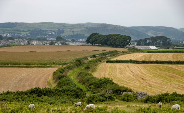
Bardsea Park is a picturesque recreational area located in the county of Lancashire, England. Situated near the small village of Bardsea, the park offers visitors a unique blend of rolling downs and expansive moorland, making it an ideal destination for nature enthusiasts and outdoor lovers.
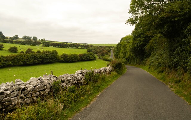
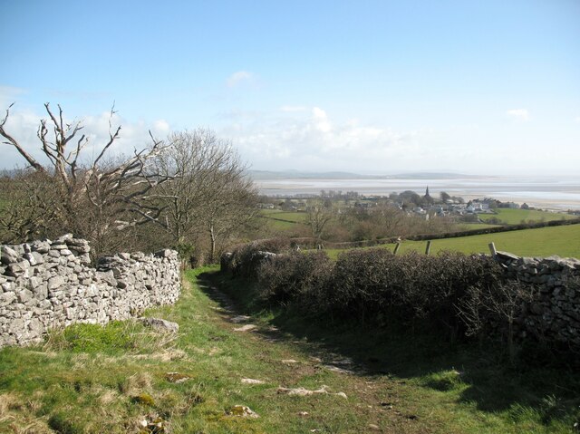
Covering an area of approximately 100 acres, Bardsea Park boasts breathtaking views of the surrounding countryside, with its undulating downs providing a perfect setting for leisurely walks and picnics. The park features well-maintained footpaths that wind through lush green meadows, offering visitors the opportunity to explore the diverse flora and fauna that thrive in this beautiful landscape.
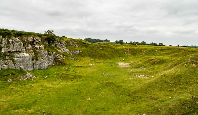
The moorland within Bardsea Park is a haven for birdwatchers, as it is home to a variety of avian species, including the elusive merlin and peregrine falcon. Nature lovers can also spot other wildlife such as hares, rabbits, and even deer in the more secluded areas of the park.
For those seeking more active pursuits, Bardsea Park offers ample opportunities for outdoor activities such as cycling and horse riding. The park provides designated trails and bridleways, ensuring a safe and enjoyable experience for visitors of all ages.
Additionally, Bardsea Park features well-equipped picnic areas, complete with benches and tables, where families and friends can relax and enjoy a meal while taking in the stunning scenery. The park also has a small café, offering refreshments and snacks for visitors.
In summary, Bardsea Park in Lancashire is a nature lover's paradise, offering a serene and tranquil environment that showcases the beauty of the downs and moorland. Whether you are seeking a peaceful stroll, a birdwatching expedition, or an active day out, Bardsea Park is a must-visit destination that will leave you captivated by its natural splendor.
If you have any feedback on the listing, please let us know in the comments section below.
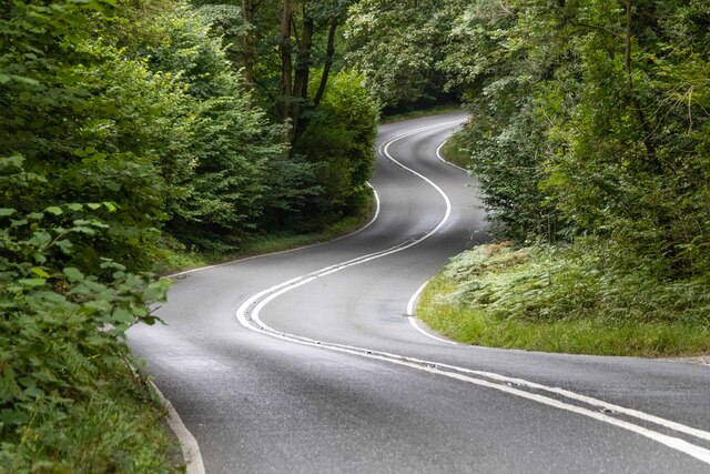
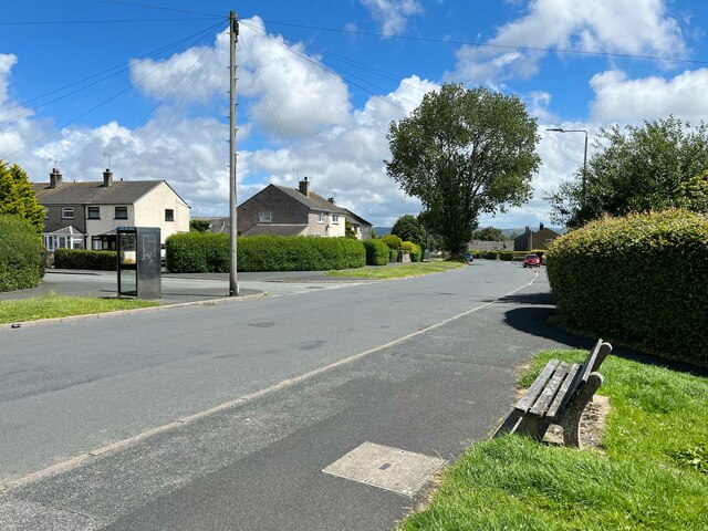
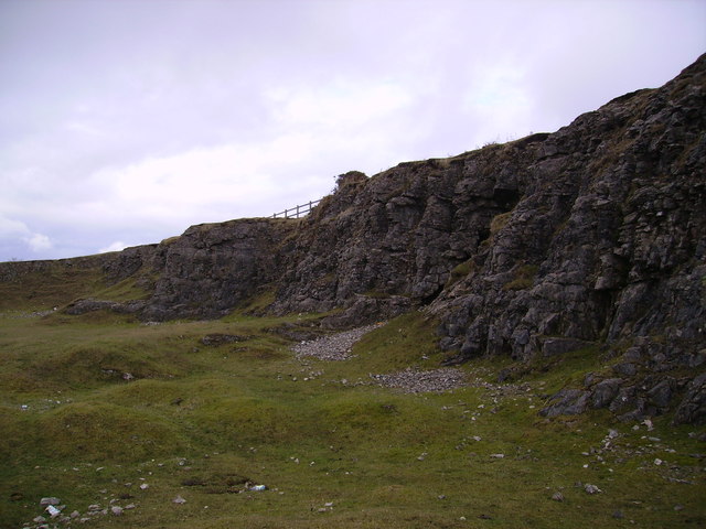
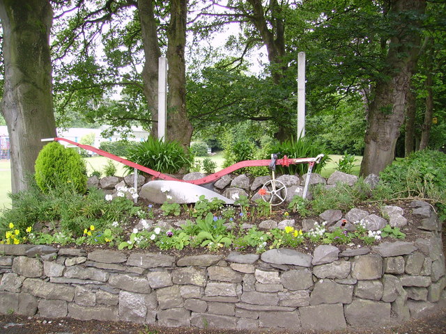
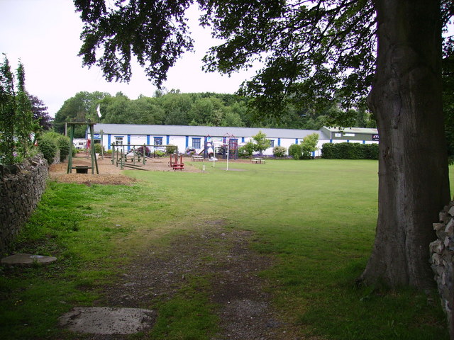
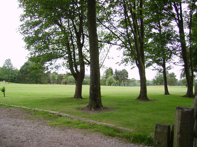
Bardsea Park Images
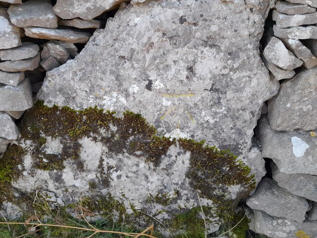
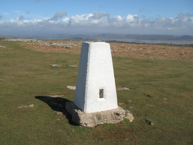
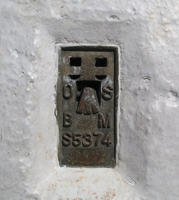
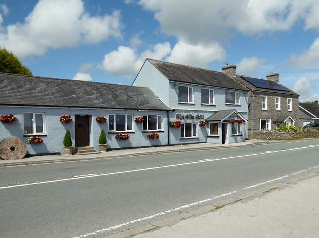
Images are sourced within 2km of 54.168744/-3.0791429 or Grid Reference SD2975. Thanks to Geograph Open Source API. All images are credited.


Bardsea Park is located at Grid Ref: SD2975 (Lat: 54.168744, Lng: -3.0791429)
Administrative County: Cumbria
District: South Lakeland
Police Authority: Cumbria
What 3 Words
///worry.rural.massive. Near Swarthmoor, Cumbria
Nearby Locations
Related Wikis
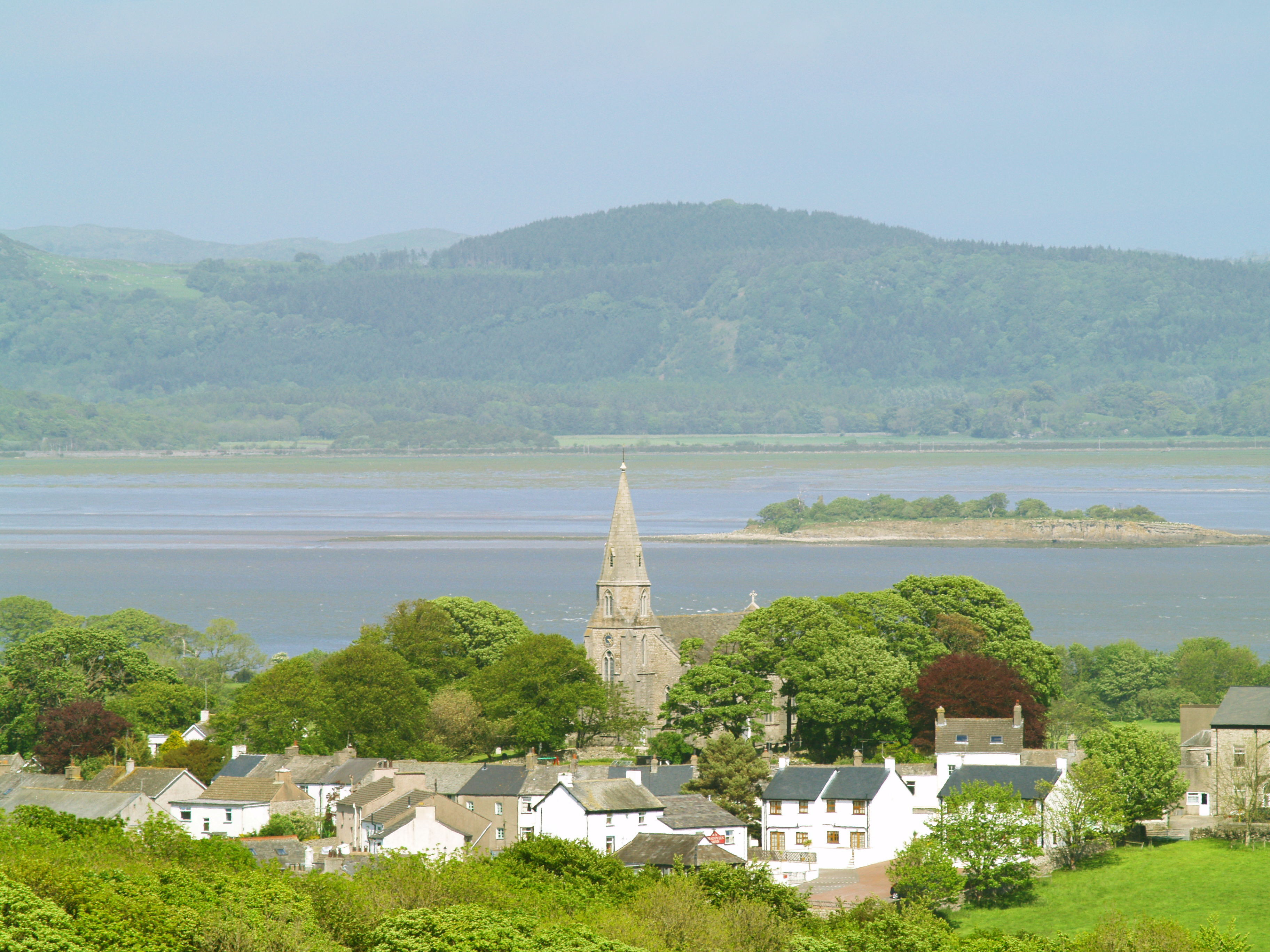
Bardsea
Bardsea is a village in the Low Furness area of Cumbria, England. It is two miles to the south-east of Ulverston on the northern coast of Morecambe Bay...

Conishead Priory
Conishead Priory is a large Gothic Revival building on the Furness peninsula near Ulverston in Cumbria. The priory's name translates literally as "King...

Birkrigg stone circle
The Birkrigg stone circle (also known as the Druid's Temple or Druids' Circle) is a Bronze Age stone circle on Birkrigg Common, two miles south of Ulverston...

Birkrigg
Birkrigg or Birkrigg Common is an open-area of limestone countryside near the town of Ulverston on the Furness Peninsula in southern Cumbria, England....
Nearby Amenities
Located within 500m of 54.168744,-3.0791429Have you been to Bardsea Park?
Leave your review of Bardsea Park below (or comments, questions and feedback).