Hangman's Acre
Downs, Moorland in Angus
Scotland
Hangman's Acre
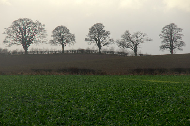
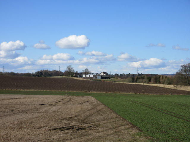
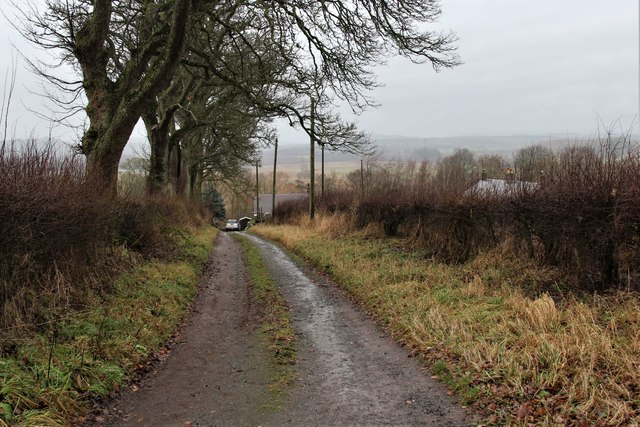
Hangman's Acre is a desolate and haunting expanse of moorland located in Angus, Scotland. Stretching across several acres, it is situated within the expansive Angus Downs. The area derives its evocative name from a dark historical past, as it was once a site where public hangings took place in the distant past.
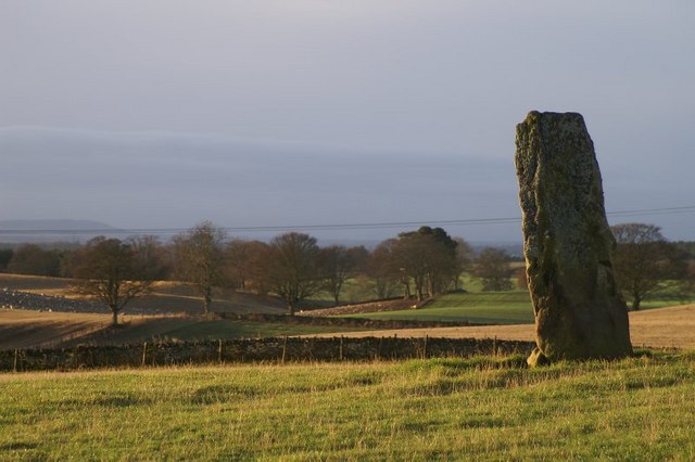
The landscape of Hangman's Acre is characterized by rugged terrain, with undulating hills covered in heather and sparse vegetation. The moorland is primarily composed of peat soil, which gives it a distinctively dark and marshy appearance. The area is often shrouded in mist, enhancing its eerie ambiance and adding to its reputation as a place of mystery and intrigue.
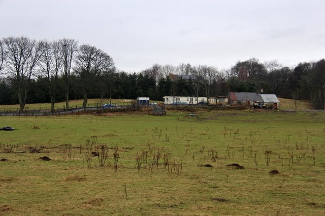
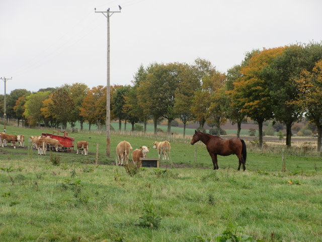
Despite its desolation, Hangman's Acre holds a unique appeal for nature enthusiasts and hikers. Its untouched beauty and serene atmosphere make it an ideal location for those seeking solitude and a connection with nature. The moorland is home to a variety of wildlife, including red grouse, mountain hares, and various bird species.
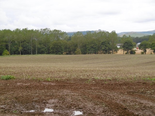
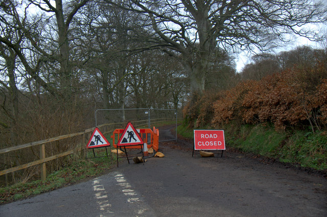
Visitors to Hangman's Acre can explore the area via several walking trails that wind through the moorland, offering breathtaking views of the surrounding landscape. However, caution is advised as the terrain can be treacherous, especially during inclement weather.
Overall, Hangman's Acre in Angus, Scotland, is a place that combines natural beauty with a haunting history. Its desolate moorland, misty atmosphere, and remnants of its dark past make it a compelling destination for those seeking a unique and atmospheric experience.
If you have any feedback on the listing, please let us know in the comments section below.
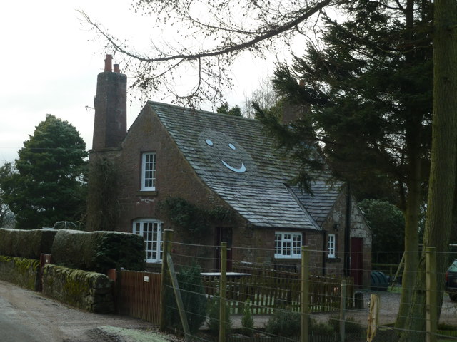
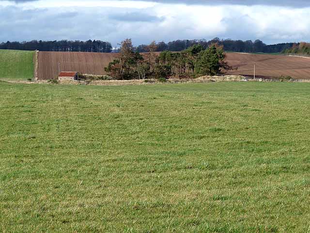
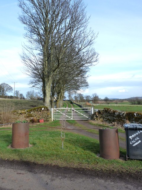
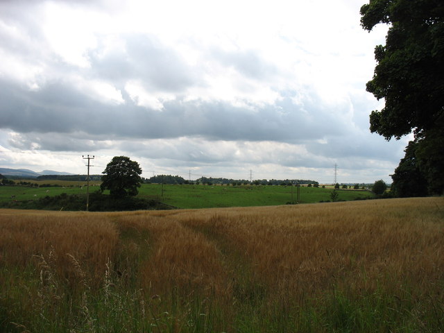
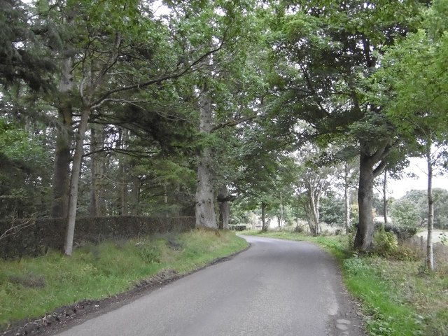
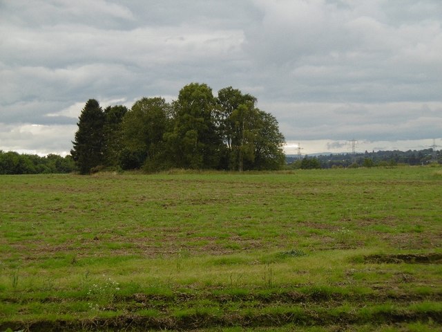
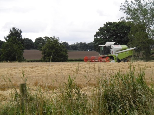
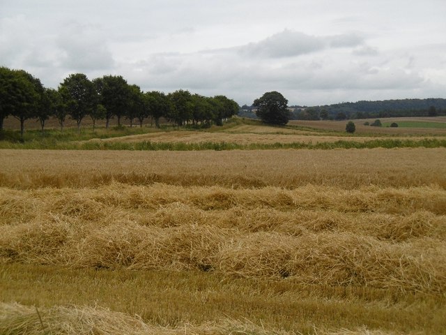
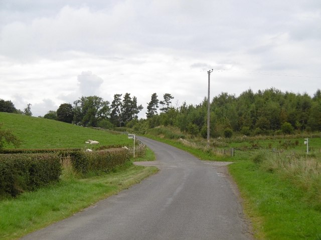
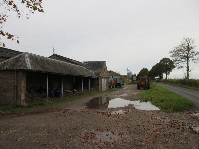
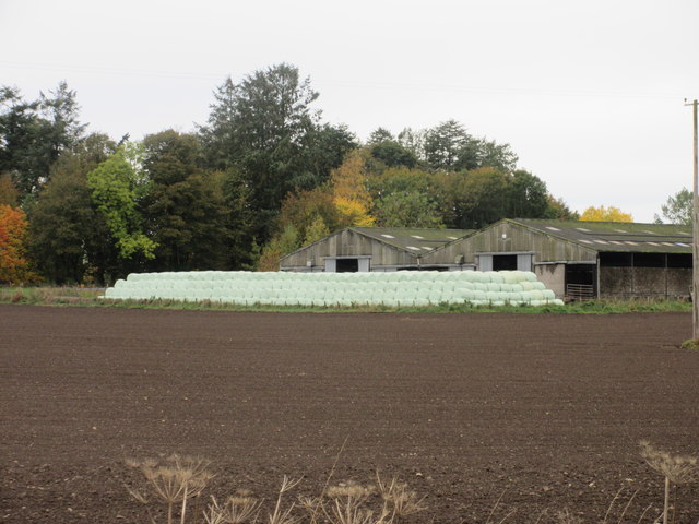
Hangman's Acre Images
Images are sourced within 2km of 56.624512/-3.1502346 or Grid Reference NO2948. Thanks to Geograph Open Source API. All images are credited.
Hangman's Acre is located at Grid Ref: NO2948 (Lat: 56.624512, Lng: -3.1502346)
Unitary Authority: Angus
Police Authority: Tayside
What 3 Words
///notch.assets.gossip. Near Alyth, Perth & Kinross
Nearby Locations
Related Wikis
Ruthven, Angus
Ruthven ( RIV-ən) is a village in Angus, Scotland. It is two miles (3.2 km) north of Meigle, where the A926 road crosses the River Isla. == See also... ==

Jordanstone railway station
Jordanstone railway station served the area to the south of the village of Alyth in the Scottish county of Perth and Kinross. The station was on the Alyth...
Inverquiech Castle
Inverquiech Castle is a ruined 13th century castle near Inverquiech, Perth and Kinross, Scotland. == History == Built at the confluence of the Quiech Burn...
Airlie, Angus
Airlie (Scottish Gaelic: Iarlaidh) is a civil parish in the Scottish council area of Angus. It is the seat of the Earl of Airlie, and the location of...
Golf Club Halt railway station (Scotland)
Golf Club Halt was a station which served Alyth Golf Club, in the Scottish county of Perth and Kinross. It was served by trains on the Alyth Railway which...
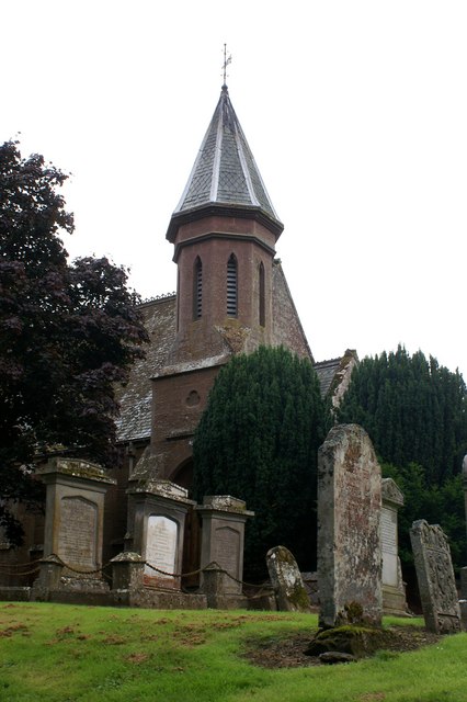
Airlie Parish Kirk
Airlie Parish Kirk is a church in Airlie, Angus. It was completed in 1783 and dedicated to St. Meddan. The interior was renovated in 1893. The church contains...

Airlie Castle
Airlie Castle is a mansion house in the parish of Airlie, Angus, near the junction of the Isla and Melgund rivers, 9 kilometres west of Kirriemuir, Angus...
Drumkilbo
Drumkilbo House is a listed stately home and garden near Meigle, Perth and Kinross, Scotland. == Location == Drumkilbo is located on the edge of the village...
Nearby Amenities
Located within 500m of 56.624512,-3.1502346Have you been to Hangman's Acre?
Leave your review of Hangman's Acre below (or comments, questions and feedback).