Blea Moss

Downs, Moorland in Westmorland South Lakeland

England

Blea Moss

The Bridge over Wrynose Beck
The Bridge over Wrynose Beck Credit: Andy Beecroft

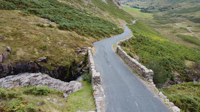
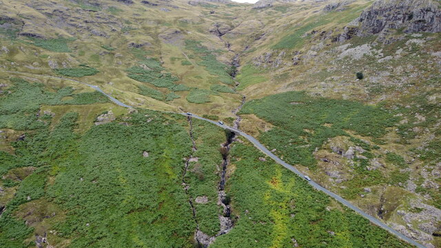
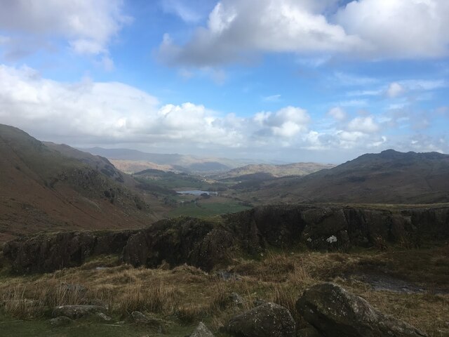
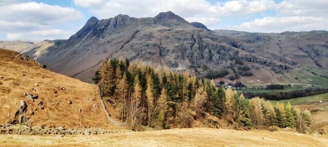
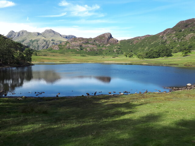
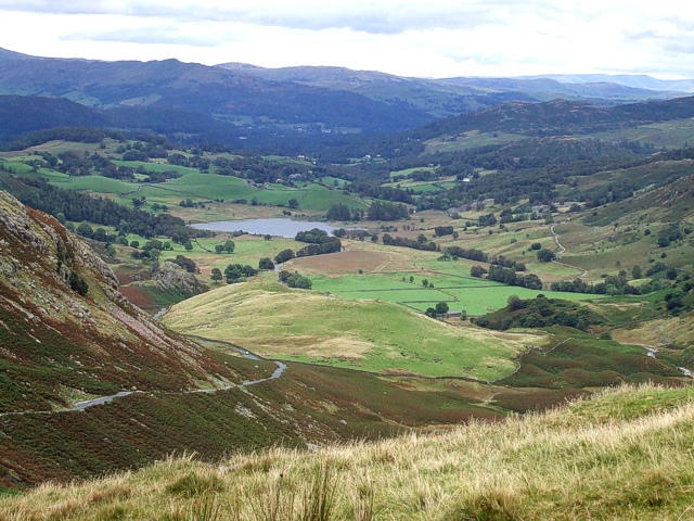
Blea Moss is a picturesque area located in the county of Westmorland, in the northwest region of England. Situated amidst the stunning landscape of the Lake District National Park, Blea Moss is renowned for its unspoiled beauty and tranquil atmosphere. It encompasses both downs and moorland, offering a diverse array of natural features.

The downs of Blea Moss are characterized by rolling hills and meadows, covered in lush green grasses and dotted with vibrant wildflowers. The gentle slopes provide breathtaking panoramic views of the surrounding countryside, making it a popular spot for hikers and nature enthusiasts.

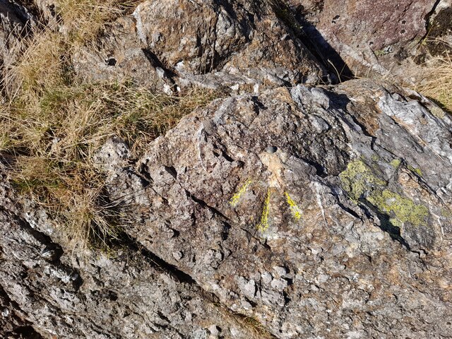
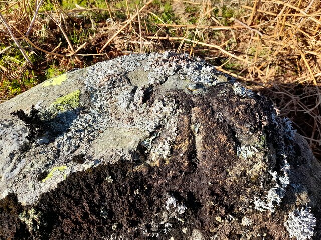
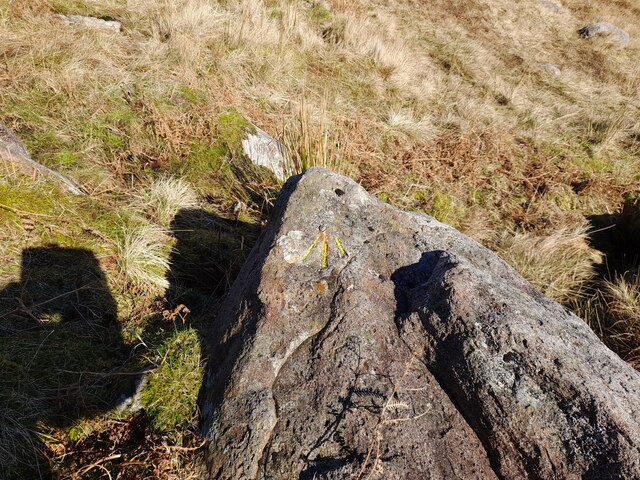
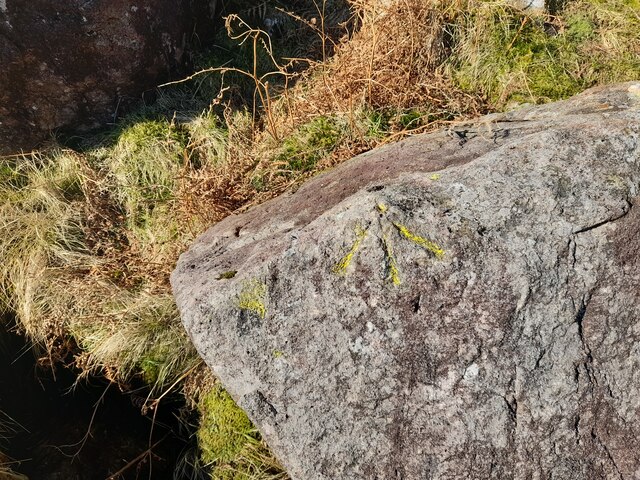
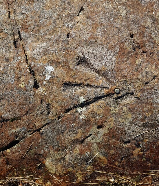
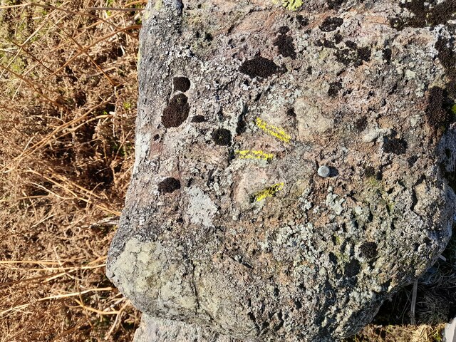
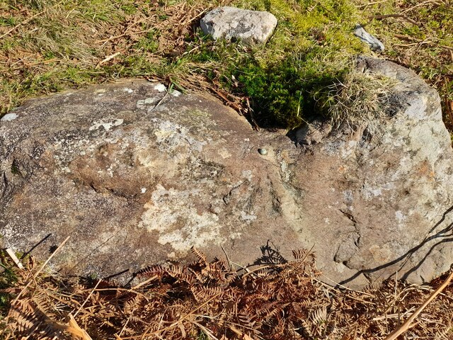
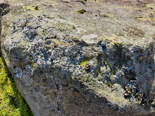
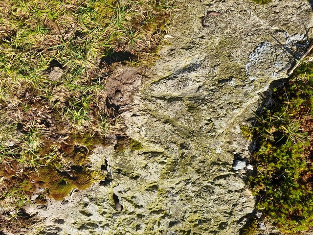
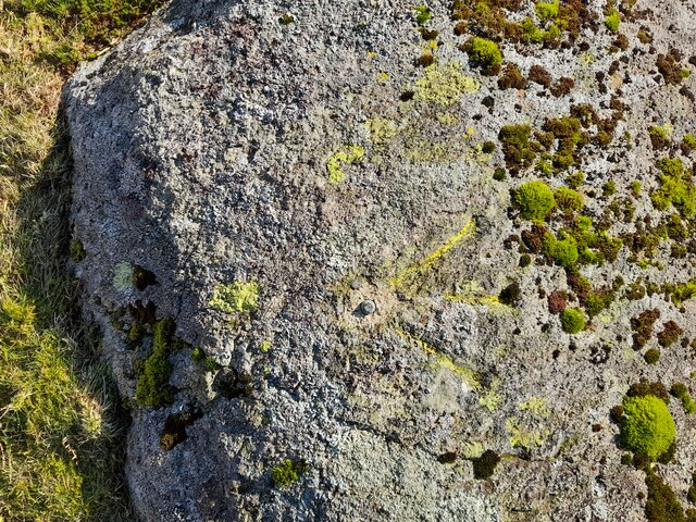
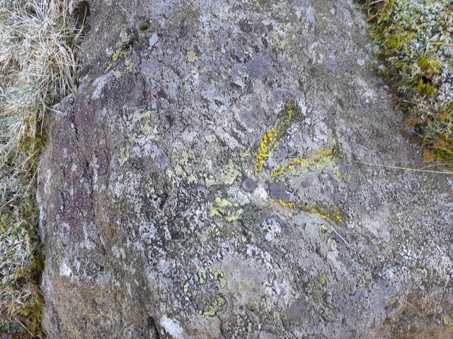
In contrast, the moorland of Blea Moss showcases a more rugged and untamed landscape. Here, visitors can immerse themselves in the vast expanses of heather-covered terrain, interrupted only by scattered rocky outcrops and glistening streams. The moorland is home to a variety of wildlife, including birds of prey, such as peregrine falcons and kestrels, as well as red deer and grouse.

The area is also rich in history, with ancient stone circles and burial sites adding a sense of mystery and intrigue to Blea Moss. The nearby village of Westmorland offers visitors the chance to explore traditional English architecture and enjoy a warm welcome in the local pubs and tea rooms.

Overall, Blea Moss in Westmorland is a haven for those seeking solace in nature's embrace, providing a stunning backdrop for outdoor activities and an opportunity to disconnect from the hustle and bustle of modern life.

If you have any feedback on the listing, please let us know in the comments section below.

Blea Moss Images

Images are sourced within 2km of 54.421941/-3.0876662 or Grid Reference NY2903. Thanks to Geograph Open Source API. All images are credited.

The Bridge over Wrynose Beck
Wrynose Beck and the Road Bridge over it
Wrynose Pass The valley looking down towards Greenburn Beck
Wrynose Pass
The valley looking down towards Greenburn Beck
Ordnance Survey Cut Mark This OS cut mark can be found on a rock SE side of the road. It marks a point 358.439m above mean sea level.
Ordnance Survey Cut Mark
This OS cut mark can be found on a rock SE side of the road. It marks a point 358.439m above mean sea level.
Ordnance Survey Rivet This OS rivet can be found on a rock NW side of the road. It marks a point 379.116m above mean sea level.
Ordnance Survey Rivet
This OS rivet can be found on a rock NW side of the road. It marks a point 379.116m above mean sea level.
Ordnance Survey Rivet This OS rivet can be found on a rock NW side of the road. It marks a point 339.017m above mean sea level.
Ordnance Survey Rivet
This OS rivet can be found on a rock NW side of the road. It marks a point 339.017m above mean sea level.
Ordnance Survey Rivet This OS rivet can be found on a rock NW side of the road. It marks a point 317.215m above mean sea level.
Ordnance Survey Rivet
This OS rivet can be found on a rock NW side of the road. It marks a point 317.215m above mean sea level.
Ordnance Survey Pivot This OS pivot can be found on a rock NW side of the road.
Ordnance Survey Pivot
This OS pivot can be found on a rock NW side of the road.
Ordnance Survey Rivet This OS rivet can be found on a rock north side of the road. It marks a point 299.762m above mean sea level.
Ordnance Survey Rivet
This OS rivet can be found on a rock north side of the road. It marks a point 299.762m above mean sea level.
Ordnance Survey Rivet This OS rivet can be found on the retaining wall SE side of the road. It marks a point 282.915m above mean sea level.
Ordnance Survey Rivet
This OS rivet can be found on the retaining wall SE side of the road. It marks a point 282.915m above mean sea level.
Ordnance Survey Rivet This OS rivet can be found on a rock north side of the road. It marks a point 271.068m above mean sea level.
Ordnance Survey Rivet
This OS rivet can be found on a rock north side of the road. It marks a point 271.068m above mean sea level.
Ordnance Survey Rivet This OS rivet can be found on a rock south side of the road. It marks a point 232.669m above mean sea level.
Ordnance Survey Rivet
This OS rivet can be found on a rock south side of the road. It marks a point 232.669m above mean sea level.
Ordnance Survey Rivet This OS rivet can be found on a rock north side of the road. It marks a point 200.357m above mean sea level.
Ordnance Survey Rivet
This OS rivet can be found on a rock north side of the road. It marks a point 200.357m above mean sea level.
Ordnance Survey Rivet This OS rivet can be found on a rock north side of the road. It marks a point 186.041m above mean sea level.
Ordnance Survey Rivet
This OS rivet can be found on a rock north side of the road. It marks a point 186.041m above mean sea level.
Ordnance Survey Rivet This OS rivet can be found on a rock south side of the road. It marks a point 167.817m above mean sea level.
Ordnance Survey Rivet
This OS rivet can be found on a rock south side of the road. It marks a point 167.817m above mean sea level.
Ordnance Survey Cut Mark This OS cut mark can be found on a rock south side of the road. It marks a point 149.959m above mean sea level.
Ordnance Survey Cut Mark
This OS cut mark can be found on a rock south side of the road. It marks a point 149.959m above mean sea level.
Plantation on Kettle Crag
Blea Tarn on a sunny and calm September afternoon Looking north across Blea Tarn, with the Langdale Pikes in the distance to the left, and Side Pike central.
Although Side Pike appears nearly as high, it is much closer than the Langdales. 

Side Pike (<a href="https://www.geograph.org.uk/gridref/NY2905">NY2905</a>) is just under 1km from the camera, and 224m above sea level, and only 34m above my position on the 190m contour. Pike of Stickle (<a href="https://www.geograph.org.uk/gridref/NY2707">NY2707</a>) on the left is 3.5km distant, and 709m asl, Harrison Stickle (<a href="https://www.geograph.org.uk/gridref/NY2807">NY2807</a>) is 3.3km distant and 736m asl.
Blea Tarn on a sunny and calm September afternoon
Looking north across Blea Tarn, with the Langdale Pikes in the distance to the left, and Side Pike central. Although Side Pike appears nearly as high, it is much closer than the Langdales. Side Pike (NY2905) is just under 1km from the camera, and 224m above sea level, and only 34m above my position on the 190m contour. Pike of Stickle (NY2707) on the left is 3.5km distant, and 709m asl, Harrison Stickle (NY2807) is 3.3km distant and 736m asl.
Show me another place!

Blea Moss is located at Grid Ref: NY2903 (Lat: 54.421941, Lng: -3.0876662)

Administrative County: Cumbria

District: South Lakeland

Police Authority: Cumbria

What 3 Words

///milkman.tweed.options. Near Ambleside, Cumbria

Nearby Locations

Blea Moss Hollin Slack

Related Wikis

Ting Mound

The Ting Mound or Thing Moot at Fellfoot Farm, Little Langdale, Cumbria, England is an Ancient Monument (a 'nationally important' archaeological site)...

Lingmoor Fell

Lingmoor Fell is a fell in the English Lake District, situated eight kilometres (five miles) west of Ambleside. The fell reaches a height of 469 m (1,540...

Slater's Bridge

Slater's Bridge is a traditional packhorse bridge in Little Langdale in the English Lake District, standing at National Grid Reference NY3120502996....

Three Shire Stone (Lake District)

The Three Shire Stone is a boundary stone that marks the location where the historic English counties of Lancashire, Cumberland and Westmorland meet. The...

River Brathay

The Brathay is a river of north-west England. Its name comes from Old Norse and means broad river. It rises at a point 1289 feet (393 m) above sea level...

Little Langdale

Little Langdale is a valley in the Lake District, England, containing Little Langdale Tarn and a hamlet also called Little Langdale. A second tarn, Blea...

Wrynose Pass

The Wrynose Pass is a mountain pass in the Lake District National Park in Cumbria, England between the Duddon Valley and Little Langdale. == Etymology... ==

Wetherlam

Wetherlam (763 m) is a mountain in the English Lake District. It is the most northerly of the Coniston Fells, the range of fells to the north-west of Coniston...

Nearby Amenities

Located within 500m of 54.421941,-3.0876662
Ting Mound
Historic: archaeological_site
Lat/Long: 54.4196404/-3.0826199
Castle Howe
Place: locality
Lat/Long: 54.4202691/-3.0848215
Fell Foot
Addr City: Little Langdale
Addr Postcode: LA22 9PE
Fhrs Id: 299747
Guest House: bed_and_breakfast
Tourism: guest_house
Lat/Long: 54.4193501/-3.0819946
Hollin Slack
Place: locality
Lat/Long: 54.4203584/-3.0944517
Castle Howe Hillfort
Archaeological Site: fortification
Historic: archaeological_site
Lat/Long: 54.4201692/-3.0843773
Abandoned: yes
Man Made: adit
Lat/Long: 54.4261146/-3.0856341
Barrier: cattle_grid
Lat/Long: 54.4197982/-3.0828237
The data included in this document is from www.openstreetmap.org. The data is made available under ODbL.

Have you been to Blea Moss?

Leave your review of Blea Moss below (or comments, questions and feedback).