Corral Pool

Lake, Pool, Pond, Freshwater Marsh in Angus

Scotland

Corral Pool

Face on roof A face is growing on the roof of the house at the entrance to the Ruthven House drive
Face on roof Credit: arb

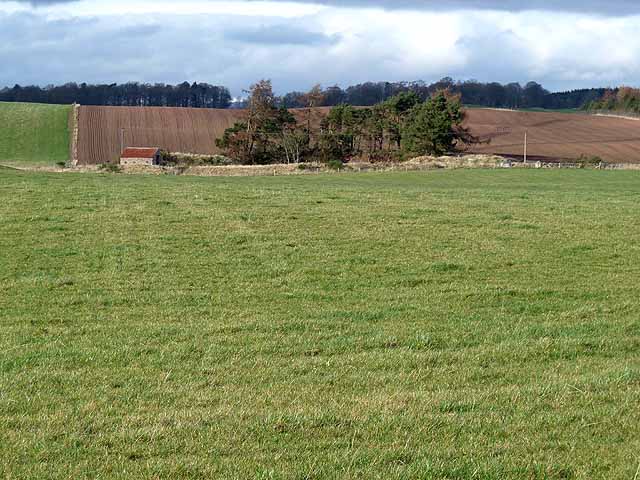
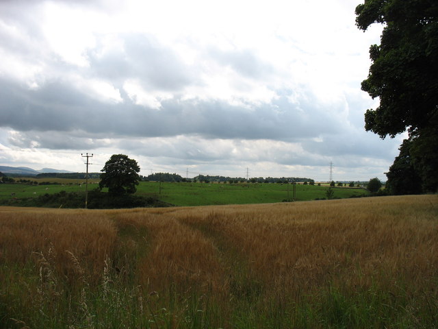
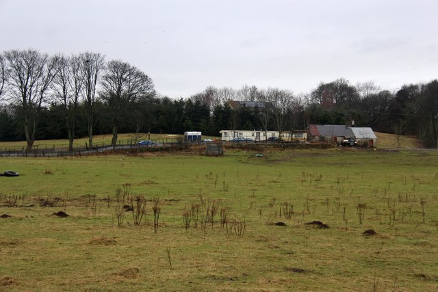
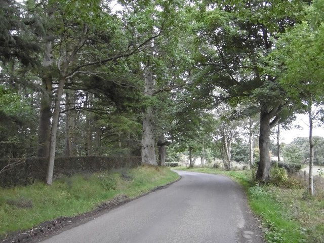
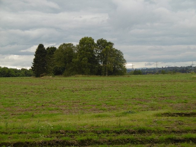
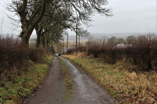
Corral Pool, Angus is a picturesque freshwater marsh located in the county of Angus, Scotland. This natural body of water is often referred to as a pool, lake, or pond due to its small to medium size. It is nestled amidst the beautiful landscape, surrounded by lush greenery and rolling hills.

Corral Pool is fed by various natural springs and streams, ensuring a constant flow of freshwater. The pool itself is characterized by calm and tranquil waters, offering a serene and peaceful atmosphere for visitors. The water is usually clear and pristine, allowing for excellent visibility of the aquatic life beneath the surface.

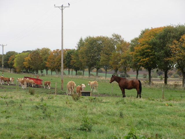
This freshwater marsh is home to a diverse range of plant and animal species. The surrounding wetlands provide a suitable habitat for a variety of water plants and marsh vegetation. Visitors can expect to see a vibrant array of plants such as water lilies, reeds, and various species of grasses.

The pool also attracts a plethora of wildlife. Birdwatchers will delight in the sight of numerous bird species, including ducks, swans, herons, and occasionally even rare migratory birds. The presence of fish, such as trout and perch, makes it a popular spot for anglers as well.

Corral Pool, Angus is a haven for nature enthusiasts, offering an opportunity to immerse oneself in the tranquility of the Scottish countryside. With its scenic beauty and abundant wildlife, this freshwater marsh is a must-visit destination for anyone seeking a peaceful and natural retreat.

If you have any feedback on the listing, please let us know in the comments section below.
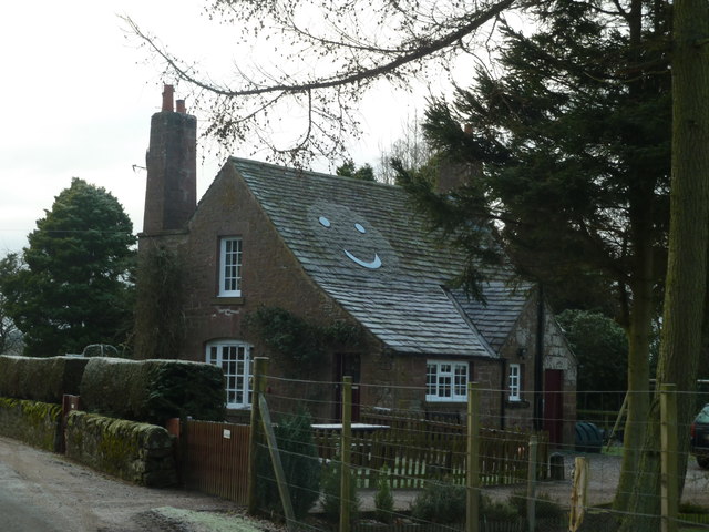
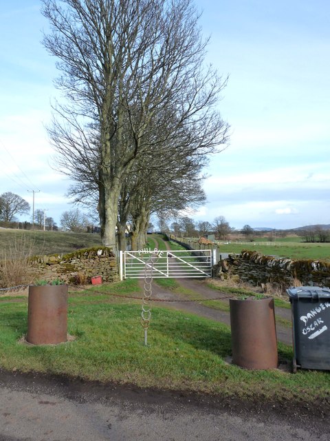
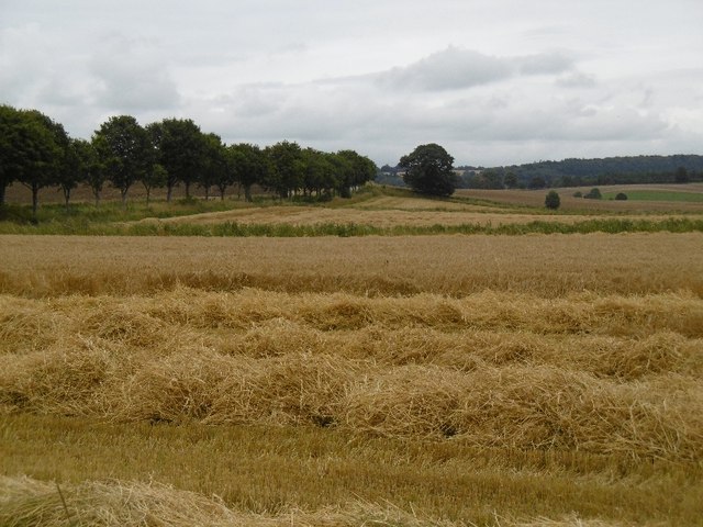
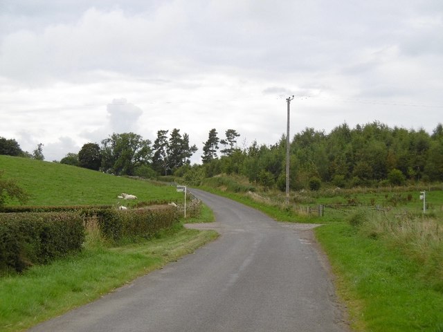
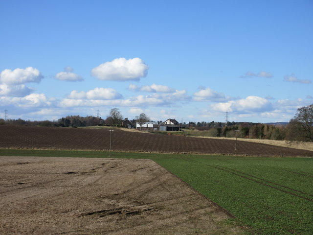
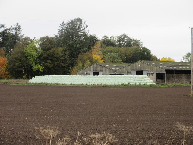
Corral Pool Images

Images are sourced within 2km of 56.62379/-3.1544664 or Grid Reference NO2948. Thanks to Geograph Open Source API. All images are credited.

Face on roof A face is growing on the roof of the house at the entrance to the Ruthven House drive
Face on roof
A face is growing on the roof of the house at the entrance to the Ruthven House drive
Field and clump of trees at Philpie A ploughed field with red soil typical of the district lies beyond the small building.
Field and clump of trees at Philpie
A ploughed field with red soil typical of the district lies beyond the small building.
Gateway to Philpie An imaginative house sign and a pair of recycled oil drums make for a distinctive entrance.
Gateway to Philpie
An imaginative house sign and a pair of recycled oil drums make for a distinctive entrance.
Fields near Airlie, seen from the A926
Philpie, an old farm cottage
Road, Ruthven
Road, Ruthven
Field, Ruthven A clump of trees in the midst of a quiet field.
Field, Ruthven
A clump of trees in the midst of a quiet field.
Harvest, Ruthven Combining barley.
Harvest, Ruthven
Combining barley.
Harvest, Ruthven The combine was in the other end of this barley field, in the neighbouring square.
Harvest, Ruthven
The combine was in the other end of this barley field, in the neighbouring square.
Road, Ruthven Heading north in Strathmore.
Road, Ruthven
Heading north in Strathmore.
Westhill Farm Westhill viewed from the minor road to the east.
Westhill Farm
Westhill viewed from the minor road to the east.
Wrapped bales at Islabank Hundreds of wrapped bales at Islabank Farm, viewed from the roadside.
Wrapped bales at Islabank
Hundreds of wrapped bales at Islabank Farm, viewed from the roadside.
One horse and cattle A single horse, with cattle in an adjacent field, near Islabank.
One horse and cattle
A single horse, with cattle in an adjacent field, near Islabank.
Farm Road at Simprim
Round bales Dillavaird Beside the River Isla where it emerges from the Den of Airlie.
Round bales Dillavaird
Beside the River Isla where it emerges from the Den of Airlie.
Gateway to arable land at Ruthven
Brigton, a farm on the banks of the Isla
Cattle feeding Cattle around a feeder ring, near Ruthven.
Cattle feeding
Cattle around a feeder ring, near Ruthven.
Show me another place!

Corral Pool is located at Grid Ref: NO2948 (Lat: 56.62379, Lng: -3.1544664)

Unitary Authority: Angus

Police Authority: Tayside

What 3 Words

///splat.ethic.helm. Near Alyth, Perth & Kinross

Related Wikis

Ruthven, Angus

Ruthven ( RIV-ən) is a village in Angus, Scotland. It is two miles (3.2 km) north of Meigle, where the A926 road crosses the River Isla. == See also... ==

Jordanstone railway station

Jordanstone railway station served the area to the south of the village of Alyth in the Scottish county of Perth and Kinross. The station was on the Alyth...

Inverquiech Castle

Inverquiech Castle is a ruined 13th century castle near Inverquiech, Perth and Kinross, Scotland. == History == Built at the confluence of the Quiech Burn...

Golf Club Halt railway station (Scotland)

Golf Club Halt was a station which served Alyth Golf Club, in the Scottish county of Perth and Kinross. It was served by trains on the Alyth Railway which...

Airlie, Angus

Airlie (Scottish Gaelic: Iarlaidh) is a civil parish in the Scottish council area of Angus. It is the seat of the Earl of Airlie, and the location of...

Airlie Castle

Airlie Castle is a mansion house in the parish of Airlie, Angus, near the junction of the Isla and Melgund rivers, 9 kilometres west of Kirriemuir, Angus...

Airlie Parish Kirk

Airlie Parish Kirk is a church in Airlie, Angus. It was completed in 1783 and dedicated to St. Meddan. The interior was renovated in 1893. The church contains...

Drumkilbo

Drumkilbo House is a listed stately home and garden near Meigle, Perth and Kinross, Scotland. == Location == Drumkilbo is located on the edge of the village...

Nearby Amenities

Located within 500m of 56.62379,-3.1544664
Craigylinn Path
Local Ref: AT
Naptan AtcoCode: 6490IM167
Naptan Bearing: W
Naptan BusStopType: CUS
Naptan CommonName: Craigylinn Path
Naptan Indicator: at
Naptan Landmark: Ruthven
Naptan NaptanCode: 26425679
Naptan Street: A926
Naptan Verified: no
Source: naptan_import
Lat/Long: 56.6259579/-3.1605842
Old Post Office
Local Ref: AT
Naptan AtcoCode: 6490IM168
Naptan Bearing: E
Naptan BusStopType: CUS
Naptan CommonName: Old Post Office
Naptan Indicator: at
Naptan Landmark: Ruthven
Naptan NaptanCode: 26425678
Naptan Street: A926
Naptan Verified: no
Source: naptan_import
Lat/Long: 56.6260511/-3.1611902
Ruthven
Name Gd: Ruadhainn
Name Pronunciation: ˈrɪvən
Place: village
Wikidata: Q7383413
Wikipedia: en:Ruthven, Angus
Lat/Long: 56.6264862/-3.1595604
Balbirnie
Place: hamlet
Lat/Long: 56.6238649/-3.1517137
Brigton
Place: hamlet
Lat/Long: 56.6237337/-3.155704
Material: wood
Power: pole
Lat/Long: 56.623073/-3.1618939
Material: wood
Power: pole
Lat/Long: 56.6233608/-3.160832
Material: wood
Power: pole
Lat/Long: 56.6236485/-3.1597611
Power: pole
Lat/Long: 56.6239028/-3.1587668
Power: pole
Lat/Long: 56.6241744/-3.1577883
Power: pole
Lat/Long: 56.6244374/-3.1568211
Power: pole
Lat/Long: 56.6248603/-3.156616
Power: pole
Lat/Long: 56.6255046/-3.1562868
Power: pole
Lat/Long: 56.6256863/-3.1547616
Power: pole
Lat/Long: 56.6257744/-3.1537583
Power: pole
Lat/Long: 56.626046/-3.1527708
Power: pole
Lat/Long: 56.6263027/-3.151772
Power: pole
Lat/Long: 56.6265892/-3.1507168
Power: pole
Lat/Long: 56.6268398/-3.1500675
Power: pole
Lat/Long: 56.6242141/-3.1521305
Power: pole
Lat/Long: 56.6246867/-3.1529669
Power: pole
Lat/Long: 56.6252448/-3.1539725
Post Box
Collection Times: Mo-Fr 12:00; Sa 10:45
Operator: Royal Mail
Post Box Mounting: wooden_post
Post Box Type: lamp
Ref: PH12 171
Royal Cypher: scottish_crown
Source: survey;local knowledge
Lat/Long: 56.6264664/-3.159215
The data included in this document is from www.openstreetmap.org. The data is made available under ODbL.

Have you been to Corral Pool?

Leave your review of Corral Pool below (or comments, questions and feedback).