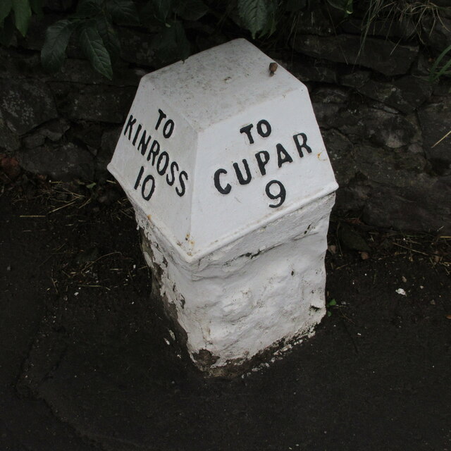
Auchtermuchty Common
Downs, Moorland in Fife
Scotland
Auchtermuchty Common

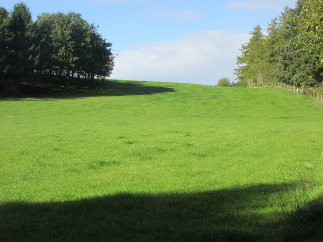
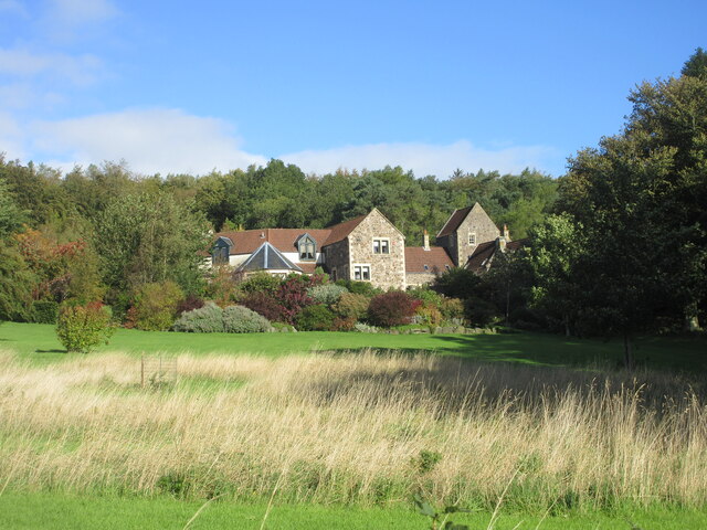
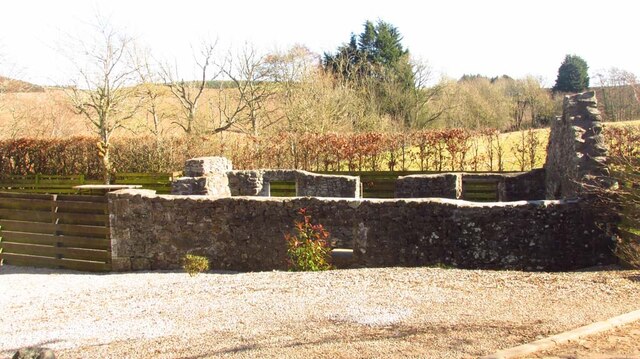
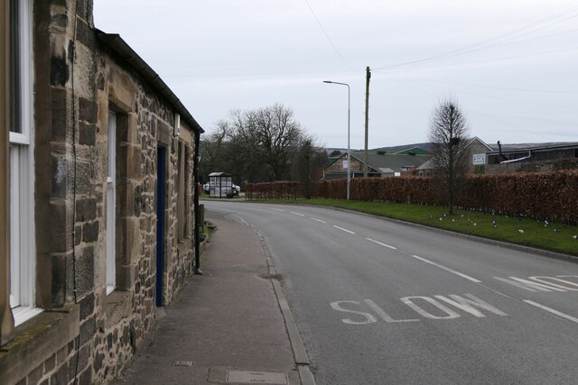
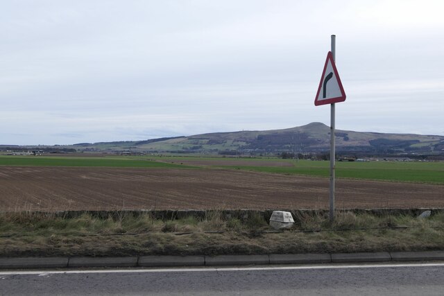
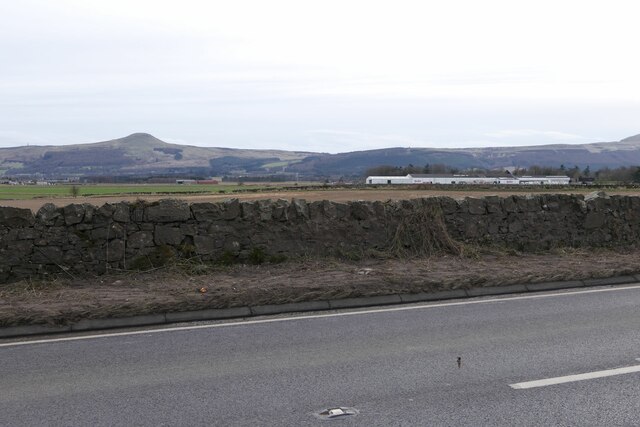
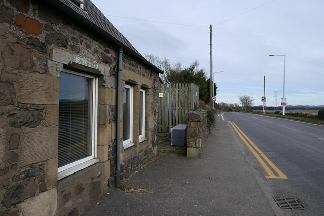
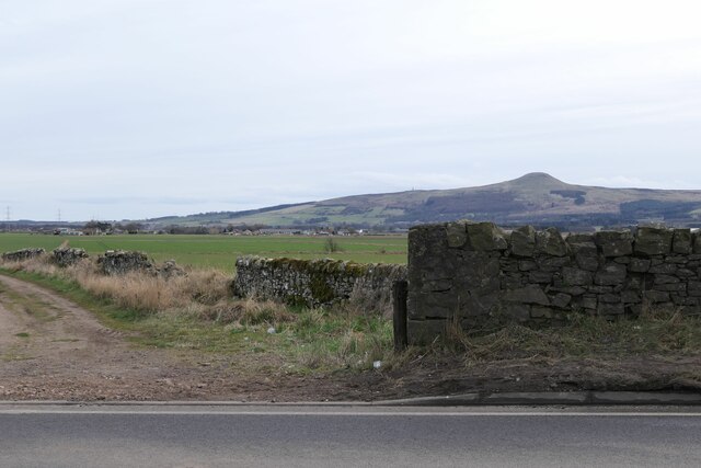
Auchtermuchty Common is a picturesque expanse of land located in the county of Fife, Scotland. Spanning across downs and moorland, it covers an area of approximately 100 acres, providing a diverse and stunning natural landscape.
The common is characterized by its gently rolling hills, offering panoramic views of the surrounding countryside. The downs feature a mix of grassy slopes and open fields, while the moorland is covered in heather and scattered with patches of gorse. This unique combination of habitats supports a rich array of flora and fauna.
The common is home to a variety of plant species, including wildflowers such as bluebells, primroses, and cowslips. The moorland is also known for its vibrant displays of purple heather during the summer months. The diverse vegetation attracts a range of wildlife, including birds like skylarks, lapwings, and meadow pipits, as well as small mammals like rabbits and voles.
Auchtermuchty Common is a popular destination for both locals and visitors alike, offering a tranquil escape from the hustle and bustle of everyday life. It provides ample opportunities for outdoor activities such as walking, jogging, and picnicking. The common is crisscrossed by a network of paths, ensuring easy access and exploration of the area.
Overall, Auchtermuchty Common is a natural gem in the heart of Fife, showcasing the beauty and diversity of the Scottish countryside. Its downs and moorland offer a haven for wildlife and a peaceful retreat for all who venture to this scenic location.
If you have any feedback on the listing, please let us know in the comments section below.
Auchtermuchty Common Images
Images are sourced within 2km of 56.304792/-3.2341377 or Grid Reference NO2313. Thanks to Geograph Open Source API. All images are credited.


Auchtermuchty Common is located at Grid Ref: NO2313 (Lat: 56.304792, Lng: -3.2341377)
Unitary Authority: Fife
Police Authority: Fife
What 3 Words
///signature.brands.courier. Near Auchtermuchty, Fife
Nearby Locations
Related Wikis

Auchtermuchty Town House
Auchtermuchty Town House is a municipal structure in the High Street, Auchtermuchty, Fife, Scotland. The structure, which accommodates the local public...
Auchtermuchty
Auchtermuchty ( ; Scottish Gaelic: Uachdar Mucadaidh, 'upland of the pigs/boar') is a town in Fife, Scotland. It is beside Pitlour Hill and 9 miles (14...

Auchtermuchty railway station
Auchtermuchty railway station served the village of Auchtermuchty, in Fife, Scotland. == History == Opened by the Fife and Kinross Railway, it became part...

Myres Castle
Myres Castle is a Scottish castle situated in Fife near the village of Auchtermuchty. Its history is interleaved with that of nearby Falkland Palace with...
Related Videos

Walking with Tamson, episode 65. Achtermuchty and its history
A wee donder roond Achtermuchty tae see whit we kin see.


Road Trip Drive With Music From Falkland On History Visit To Auchtermuchty Fife Scotland
Tour Scotland 4K travel video of a dreich, which is a Scots word for dull and cloudy weather, Summer travel video, with Scottish ...

Winter Road Trip Drive With Music To Parish Church In History Visit To Auchtermuchty Fife Scotland
Tour Scotland 4K Winter travel video of a road trip drive, with Scottish bagpipes music, North on the B936 route on ancestry, ...
Nearby Amenities
Located within 500m of 56.304792,-3.2341377Have you been to Auchtermuchty Common?
Leave your review of Auchtermuchty Common below (or comments, questions and feedback).