Brackeny Brae
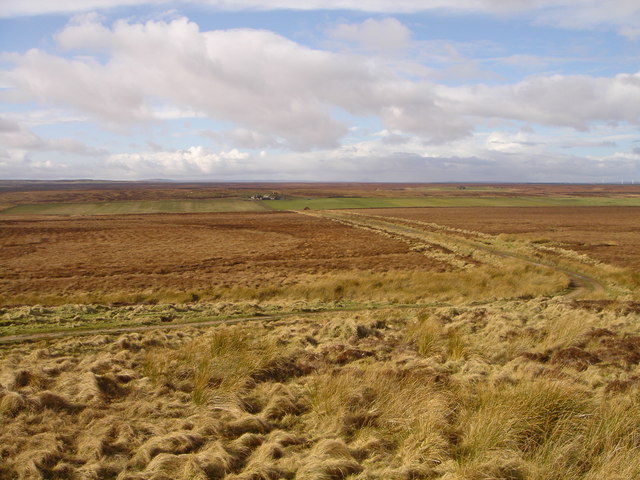
Downs, Moorland in Caithness
Scotland
Brackeny Brae
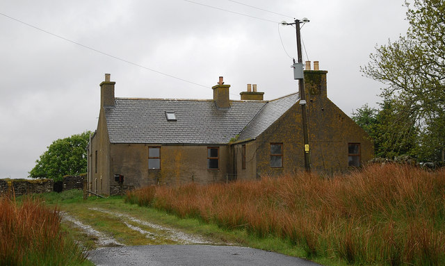
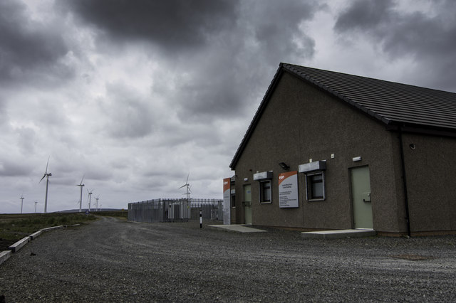
Brackeny Brae is a picturesque area located in Caithness, a historic county in the far north of Scotland. Known for its stunning natural beauty, Brackeny Brae is characterized by its expansive downs and moorland landscapes.
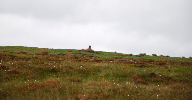
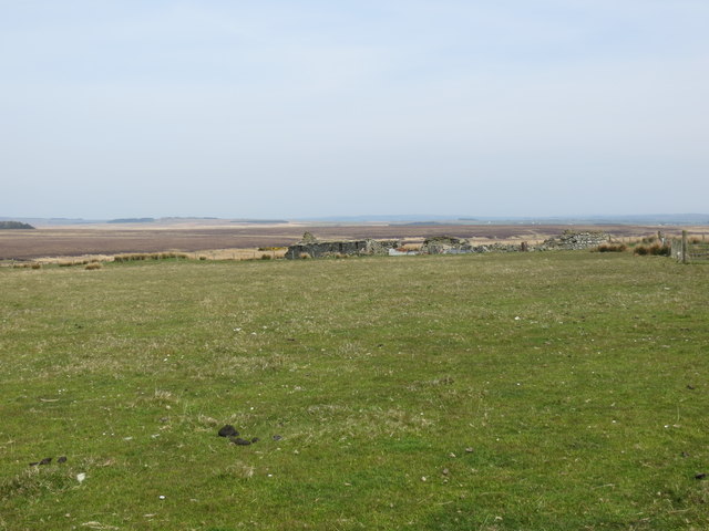
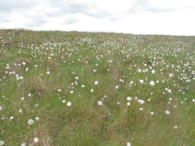
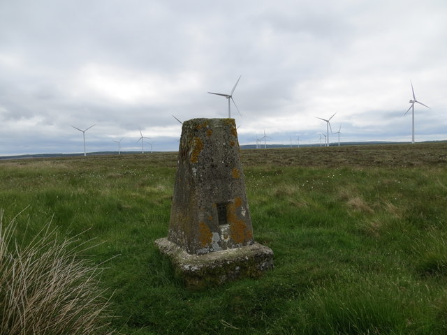
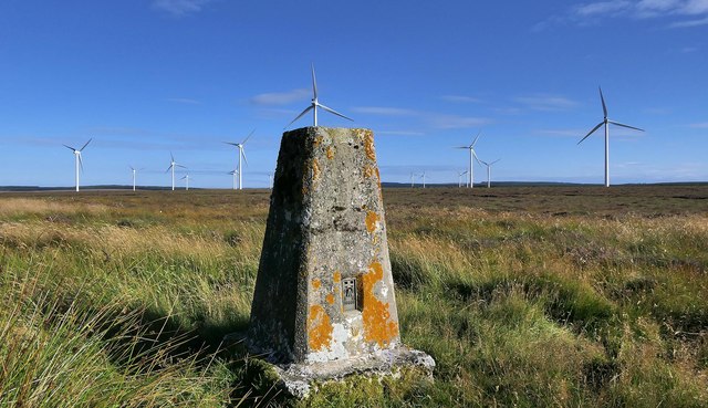
Covering an area of approximately 100 square miles, Brackeny Brae is a haven for outdoor enthusiasts and nature lovers. The downs, rolling hills covered in grass and heather, offer breathtaking panoramic views of the surrounding countryside. The moorland, with its vast open spaces and rugged terrain, is home to a diverse range of flora and fauna, including wildflowers, birds, and small mammals.
The area is intersected by numerous walking trails and paths, allowing visitors to explore the beauty of Brackeny Brae at their own pace. These trails cater to all levels of experience, from leisurely strolls to challenging hikes, and provide opportunities to discover hidden gems such as ancient stone circles and remnants of historical settlements.
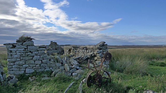
Brackeny Brae is also renowned for its rich cultural heritage. The area is dotted with archaeological sites, including Iron Age forts and brochs, showcasing its ancient past. Visitors can immerse themselves in the local history by visiting the nearby museums and heritage centers, which provide insights into the lives of the people who once inhabited this land.
Whether it is the tranquility of the downs or the raw beauty of the moorland, Brackeny Brae offers a unique and captivating experience for those seeking a connection with nature and a glimpse into Caithness's rich history.
If you have any feedback on the listing, please let us know in the comments section below.
Brackeny Brae Images
Images are sourced within 2km of 58.429997/-3.3076303 or Grid Reference ND2349. Thanks to Geograph Open Source API. All images are credited.


Brackeny Brae is located at Grid Ref: ND2349 (Lat: 58.429997, Lng: -3.3076303)
Unitary Authority: Highland
Police Authority: Highlands and Islands
What 3 Words
///routs.passion.october. Near Wick, Highland
Nearby Locations
Related Wikis

Scouthal Burn
Scouthal Burn, a continuation of Burn of Acharole has its source in the Flow Country of Caithness, in the Highland area of Scotland, at a height of around...
Strath Burn (Wick River tributary)
Strath Burn is a stream which has its source in the Flow Country of Caithness, Scotland, at a height above sea level of around 70 metres, at the confluence...
Bilbster
Bilbster is a rural area in the Highlands region of Scotland. It is situated on the A882 road and consists of just a handful of houses spread over approximately...
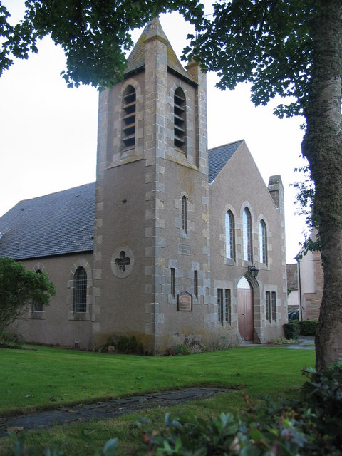
Watten, Highland
Watten (Scottish Gaelic: Bhatan) is a small village in Caithness, in the Highland area of Scotland, on the main road (A882-A9) between the burgh of Wick...

Loch of Toftingall
Loch of Toftingall is a loch located to the east of Mybster in Highland, Scotland. It has a depth of 76 metres (249 ft) and a surface area of 50 hectares...
Loch Burn, Watten
Loch Burn is a stream that flows out of the eastern end of Loch Watten in Caithness, in the Highland area of Scotland, at a height of around 20 metres...

A882 road
The A882 road is entirely within Caithness in the Highland area of Scotland. It has a length of about 23 kilometres (14 mi) and runs generally west/northwest...
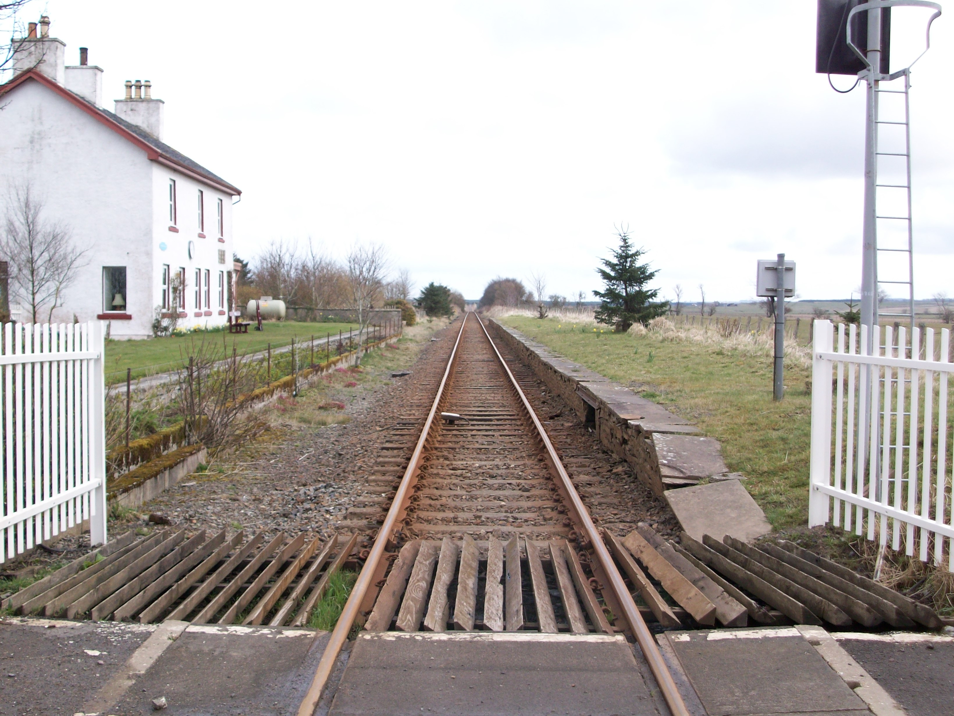
Watten railway station
Watten was a railway station located at the east end of Loch Watten, Highland between Halkirk and Wick, Scotland. The station opened on 28 July 1874. The...
Have you been to Brackeny Brae?
Leave your review of Brackeny Brae below (or comments, questions and feedback).