Manor Park
Downs, Moorland in Flintshire
Wales
Manor Park
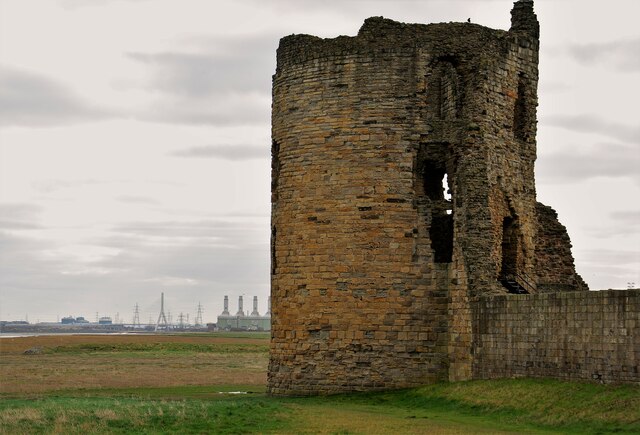
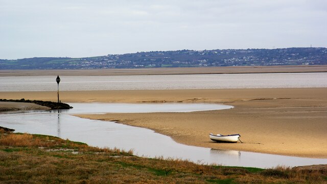
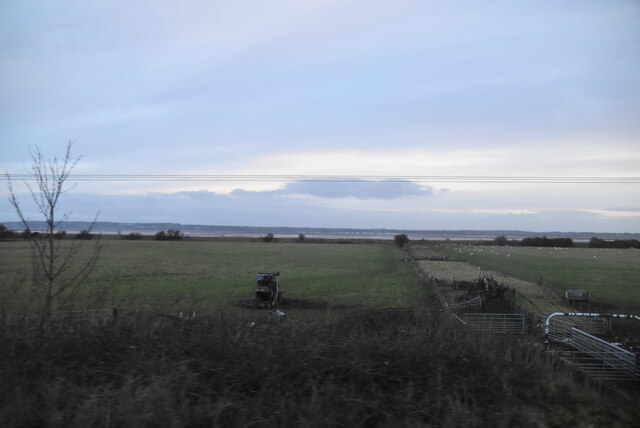
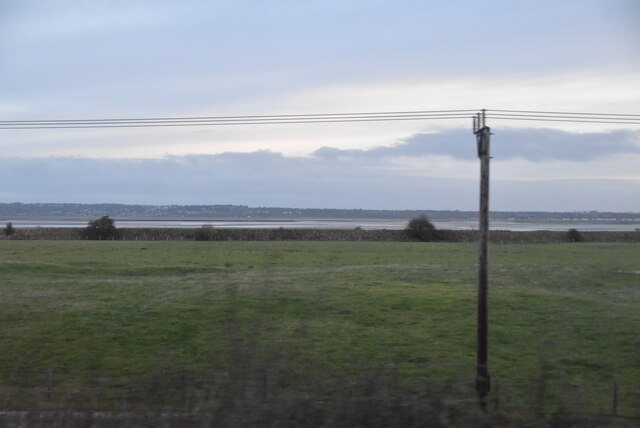
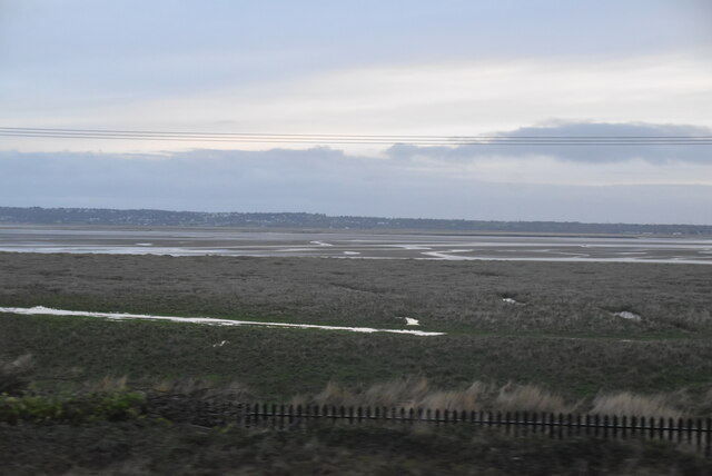
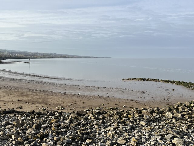
Manor Park is a charming residential area located in Flintshire, a county in northeast Wales. Situated in the Downs and Moorland region, Manor Park is known for its picturesque surroundings and tranquil atmosphere. The area is characterized by its rolling hills, lush green landscapes, and breathtaking views of the Welsh countryside.
Manor Park is a highly sought-after neighborhood, offering a mix of residential properties including detached houses, semi-detached homes, and apartments. The properties are well-maintained and boast attractive architectural designs, adding to the overall appeal of the area.
One of the highlights of Manor Park is its close proximity to nature. Residents can enjoy peaceful walks and bike rides in the surrounding countryside, taking in the beauty of the nearby Clwydian Range, an Area of Outstanding Natural Beauty. The range offers a variety of outdoor activities, including hiking, mountain biking, and birdwatching.
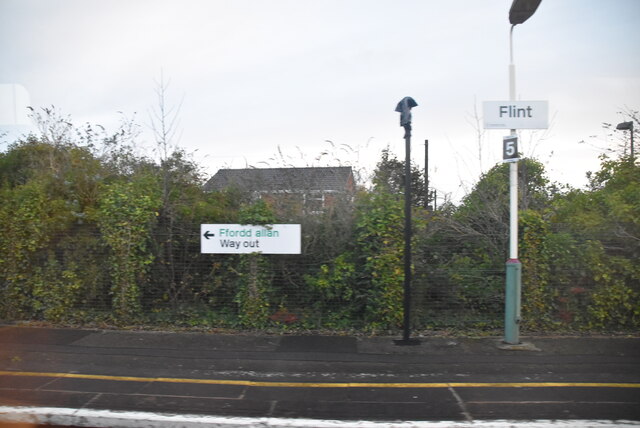
Despite its serene and rural setting, Manor Park is conveniently located near amenities and services. The nearby market town of Mold is a short distance away, providing residents with a range of shops, supermarkets, restaurants, and leisure facilities. The area also benefits from excellent transportation links, with easy access to major roads and the nearby A55 expressway.
In summary, Manor Park in Flintshire is an idyllic residential area nestled in the Downs and Moorland region. With its stunning natural surroundings, well-maintained properties, and convenient location, Manor Park offers a peaceful and picturesque place to call home.
If you have any feedback on the listing, please let us know in the comments section below.
Manor Park Images
Images are sourced within 2km of 53.261069/-3.1549765 or Grid Reference SJ2374. Thanks to Geograph Open Source API. All images are credited.
Manor Park is located at Grid Ref: SJ2374 (Lat: 53.261069, Lng: -3.1549765)
Unitary Authority: Flintshire
Police Authority: North Wales
What 3 Words
///hunk.trouble.flinch. Near Bagillt, Flintshire
Nearby Locations
Related Wikis

Bagillt
Bagillt (; Welsh pronunciation: [ˈbaɡɪɬt]) is a market town and community in Flintshire, Wales. The town overlooks the Dee Estuary and is between the towns...
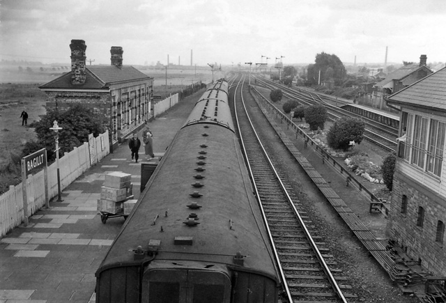
Bagillt railway station
Bagillt railway station was a railway station serving the village of Bagillt on the North Wales Coast Line in the Welsh county of Flintshire. Although...

Flintshire (historic)
Until 1974, Flintshire (Welsh: Sir y Fflint), also known as the County of Flint, was an administrative county in the north-east of Wales, later classed...

District of Delyn
Delyn was a local government district with borough status from 1974 to 1996, being one of six districts in the county of Clwyd, north-east Wales. ��2...
Related Videos

Walking The Wales Coast Path 1: Saltney to Flint
Part One of my walk along The Wales Coast Path, after a short walk from Chester we continue from the official start/finish point of ...

Walking the North Welsh Coast - Part 2: Flint to Ffynnongroyw (Hiking & History #22)
Join me for day two of an epic, week-long adventure along the stunning North Welsh Coast! In this travel vlog, I embark on a ...

Walking Wales Coastal Path for Conqueror Virtual Ukraine Challenge Episode 4
With the on going war in Ukraine I decided to walk for charity instead of a medal for one of the normal walking challenges that The ...
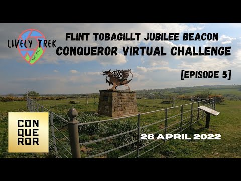
Flint to Bagillt Beacon Walking Wales l Coastal Path for Conqueror Virtual Challenge Episode 5
Join me as I walk to get my miles in for my Romantic Road Challenge and explore more of the Wales Costal Path from the edge of ...
Nearby Amenities
Located within 500m of 53.261069,-3.1549765Have you been to Manor Park?
Leave your review of Manor Park below (or comments, questions and feedback).