Muir of Corlach

Downs, Moorland in Banffshire

Scotland

Muir of Corlach

Minor road near Bridge of Coul
Minor road near Bridge of Coul Credit: Steven Brown

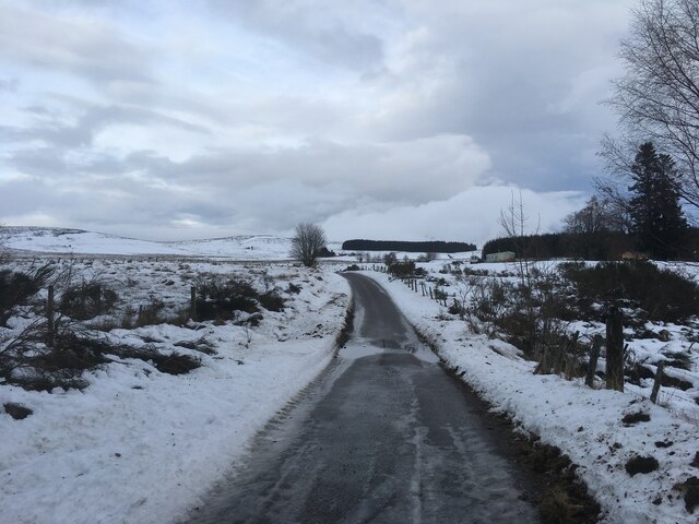
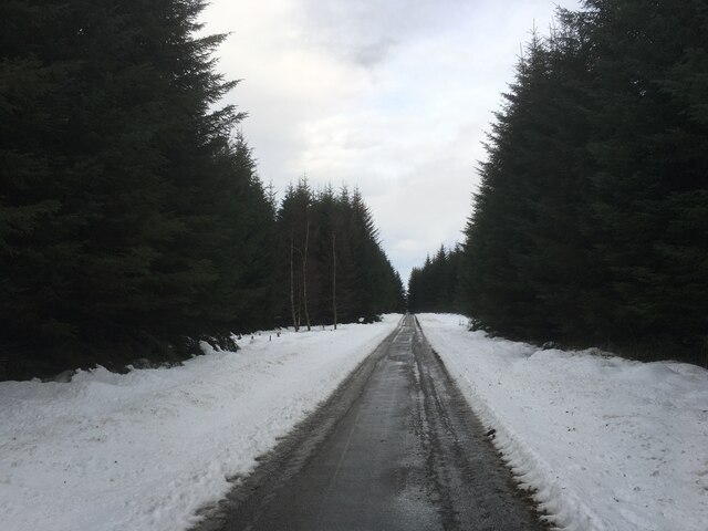
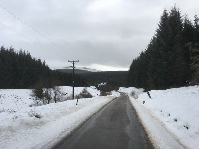
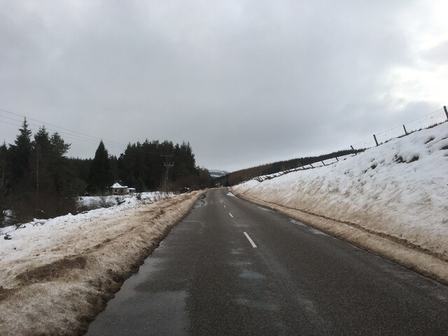
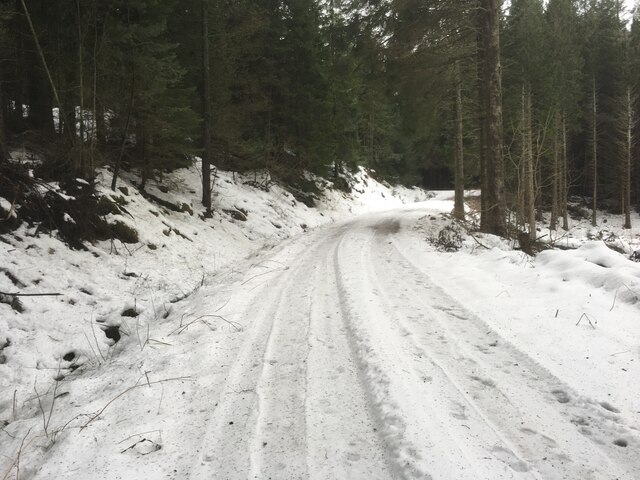
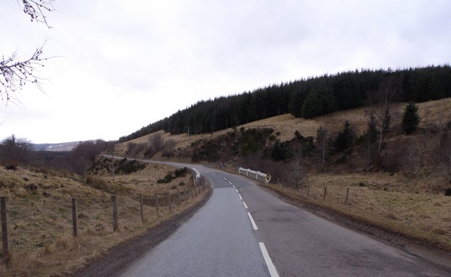
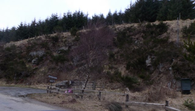
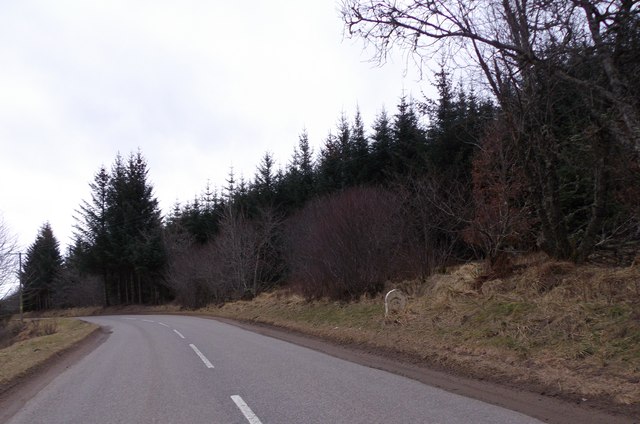
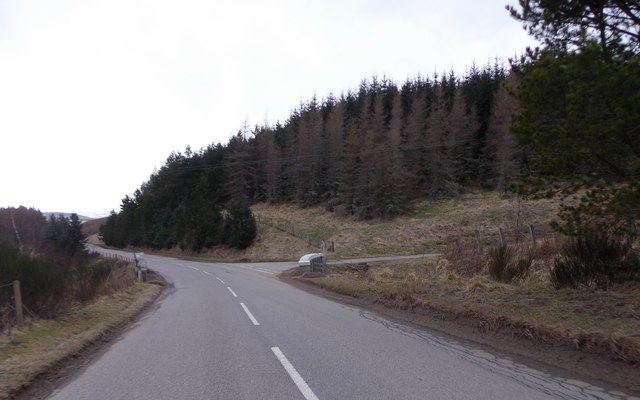
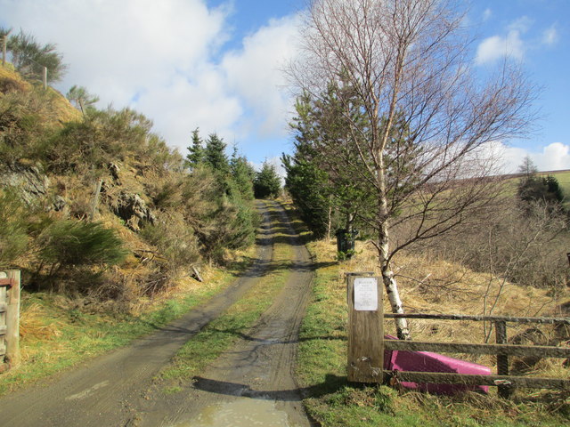
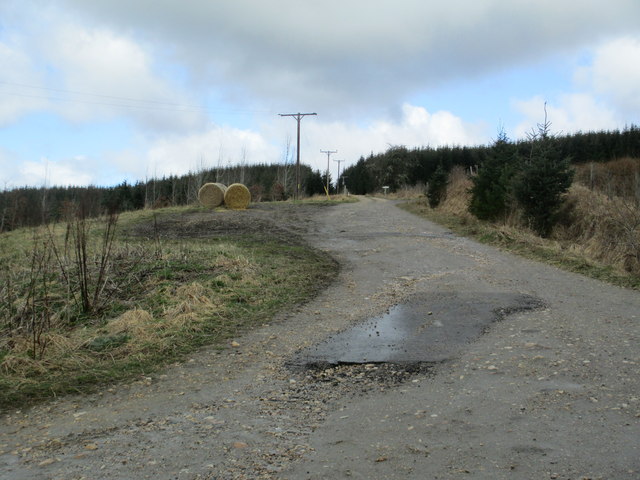
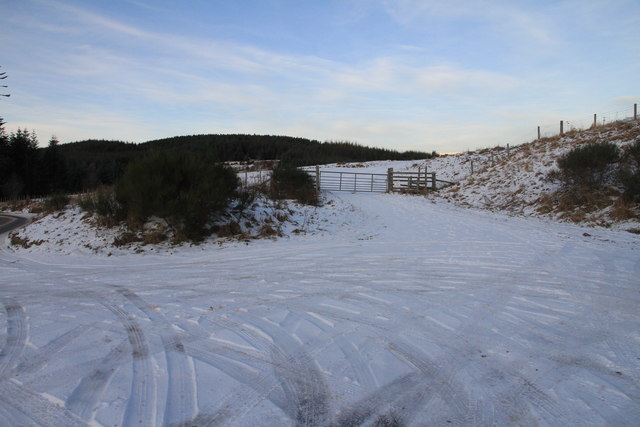
Muir of Corlach, located in Banffshire, Scotland, is a picturesque area known for its breathtaking downs and moorland landscapes. Stretching across acres of land, this region is a haven for nature enthusiasts and those seeking tranquility amidst the beauty of the Scottish countryside.

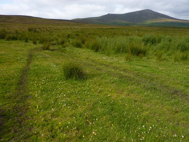
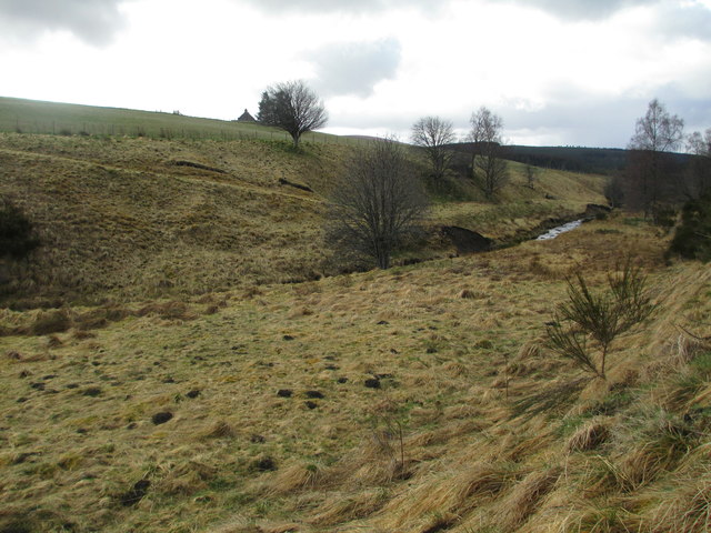
The downs of Muir of Corlach are characterized by gently rolling hills covered in lush green grasses and dotted with wildflowers during the warmer months. These undulating slopes offer panoramic views of the surrounding countryside, providing visitors with a sense of openness and serenity. The downs are also home to a diverse range of wildlife, including birds, small mammals, and occasionally, grazing sheep.

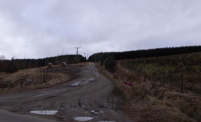
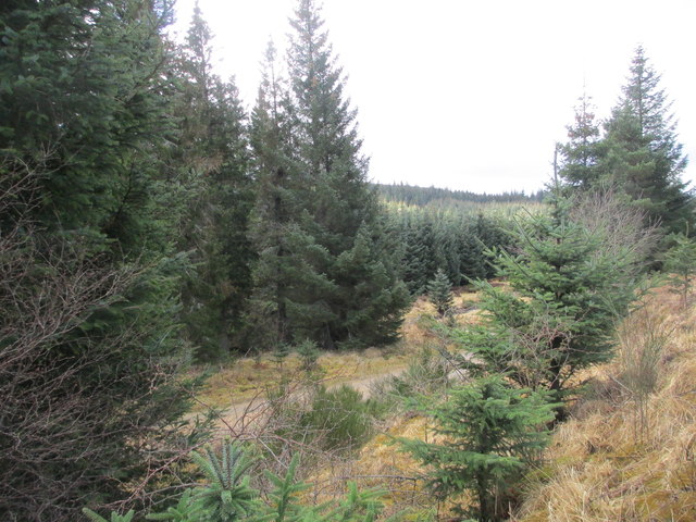
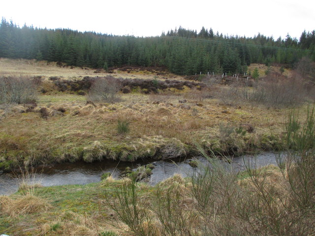
Adjacent to the downs, the moorland of Muir of Corlach presents a different yet equally captivating landscape. Here, heather-covered hillsides dominate the scenery, casting a vibrant purple hue over the land. The moors are interspersed with scattered trees and patches of bog, creating a unique and contrasting visual experience. Moorland birds, such as grouse and lapwings, can often be spotted, adding to the area's natural charm.

Visitors to Muir of Corlach can explore the area through various walking trails that wind their way through the downs and moorland. These trails offer opportunities for peaceful strolls, birdwatching, and nature photography, allowing visitors to fully immerse themselves in the tranquility and beauty of the Scottish countryside.

Muir of Corlach is a hidden gem in Banffshire, offering a true escape from the hustle and bustle of everyday life, and a chance to reconnect with nature in a stunning and serene environment.

If you have any feedback on the listing, please let us know in the comments section below.

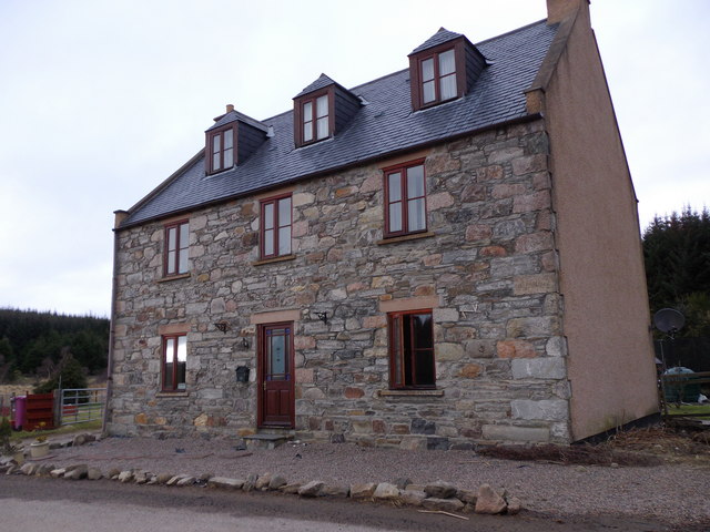
Muir of Corlach Images

Images are sourced within 2km of 57.370067/-3.2810745 or Grid Reference NJ2331. Thanks to Geograph Open Source API. All images are credited.

Minor road near Bridge of Coul
Minor road towards Bridge of Ballachurn
Minor road near Shenval
B9009 towards Glenlivet
Forestry road near Lagavaich
Grass, reed and heather moorland Used as grazing for sheep and beef cattle. Ben rinnes in the background.
Grass, reed and heather moorland
Used as grazing for sheep and beef cattle. Ben rinnes in the background.
Bridge of Tomachlaven B9009 near Tomachar. Over Burn of Riveach.
Bridge of Tomachlaven
B9009 near Tomachar. Over Burn of Riveach.
Access track to Tomaclaven off B9009 Spelled as Tomachar on OS map. Eggs for sale.
Access track to Tomaclaven off B9009
Spelled as Tomachar on OS map. Eggs for sale.
Milestone by B9009 near Alltloan bridge 2 3/4ml to Auchbreck. For reverse side (8ml to Dufftown) see <a href="https://www.geograph.org.uk/photo/453486">NJ2431 : Milestone</a>.
Milestone by B9009 near Alltloan bridge
2 3/4ml to Auchbreck. For reverse side (8ml to Dufftown) see NJ2431 : Milestone.
Craighead; a former public house Now a private residence by B9009 at Bridge of Craighead.
Craighead; a former public house
Now a private residence by B9009 at Bridge of Craighead.
Bridge of Craighead Over Dubh Allt; by junction off B9009 for Glenlivet Cottages.
Bridge of Craighead
Over Dubh Allt; by junction off B9009 for Glenlivet Cottages.
A wet access track to Mullochard and Dualts Off B9009; right for Dualts, ahead for Mullochard.
A wet access track to Mullochard and Dualts
Off B9009; right for Dualts, ahead for Mullochard.
Track to Tomachar
Track to Tomachar
Burn of Tervie
Burn of Tervie
Woodland by the B9009
Burn of Tervie
Burn of Tervie
Track to Dualts
Track to Dualts
Southern Access to Ben Rinnes Parking, access gate and style by the B9009. This offers a more interesting walk up Ben Rinnes than the more popular route up the Eastern shoulder.
Southern Access to Ben Rinnes
Parking, access gate and style by the B9009. This offers a more interesting walk up Ben Rinnes than the more popular route up the Eastern shoulder.
Show me another place!

Muir of Corlach is located at Grid Ref: NJ2331 (Lat: 57.370067, Lng: -3.2810745)

Unitary Authority: Moray

Police Authority: North East

What 3 Words

///clutter.quilt.noun. Near Charlestown of Aberlour, Moray

Nearby Locations

Muir of Corlach

Related Wikis

Battle of Glenlivet

The Battle of Glenlivet was a Scottish clan battle fought on 3 October 1594 near Glenlivet, Moray, Scotland. It was fought between Protestant forces loyal...

Deskie Castle

Deskie Castle was a medieval tower house that is thought to have been near Bridgend of Livet, Moray, Scotland. == History == Little is known of the castle...

Auchbreck

Auchbreck (Scottish Gaelic: An t-Achadh Breac, meaning the speckled field) is a village in Moray, Scotland.

Glenlivet

Glenlivet (Scottish Gaelic: Gleann Lìobhait) is the glen in the Scottish Highlands through which the River Livet flows. The river rises high in the Ladder...

Nearby Amenities

Located within 500m of 57.370067,-3.2810745
Power: pole
Lat/Long: 57.3726854/-3.2852578
Power: pole
Lat/Long: 57.3732768/-3.2832584
Power: pole
Lat/Long: 57.3735692/-3.2826091
Power: pole
Lat/Long: 57.373999/-3.2817423
Power: pole
Lat/Long: 57.3714785/-3.2884345
Power: pole
Lat/Long: 57.3720718/-3.2860069
Power: pole
Lat/Long: 57.3730402/-3.2849314
Power: pole
Lat/Long: 57.3735326/-3.2844695
Power: pole
Lat/Long: 57.3714333/-3.28674
Power: pole
Lat/Long: 57.3709928/-3.2872644
Power: pole
Lat/Long: 57.370582/-3.286282
Power: pole
Lat/Long: 57.3701171/-3.2851174
Power: pole
Lat/Long: 57.3696583/-3.2840241
Power: pole
Lat/Long: 57.3692177/-3.2829234
Power: pole
Lat/Long: 57.3687487/-3.281785
Power: pole
Lat/Long: 57.3683445/-3.2807688
Power: pole
Lat/Long: 57.3677996/-3.2801902
Power: pole
Lat/Long: 57.3672171/-3.2795891
Power: pole
Lat/Long: 57.3666863/-3.2790049
Power: pole
Lat/Long: 57.3661403/-3.2783738
The data included in this document is from www.openstreetmap.org. The data is made available under ODbL.

Have you been to Muir of Corlach?

Leave your review of Muir of Corlach below (or comments, questions and feedback).