Seatoller Fell
Downs, Moorland in Cumberland Allerdale
England
Seatoller Fell

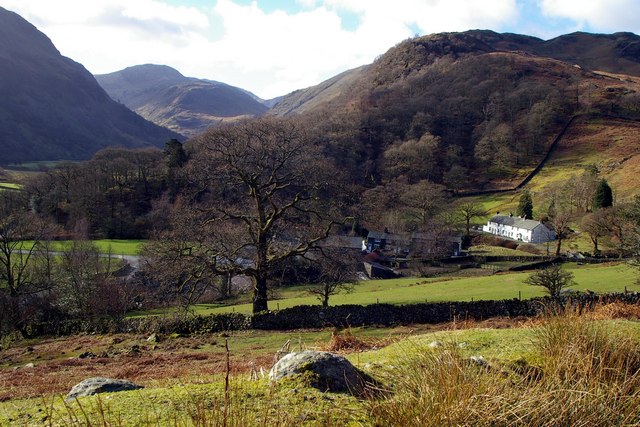
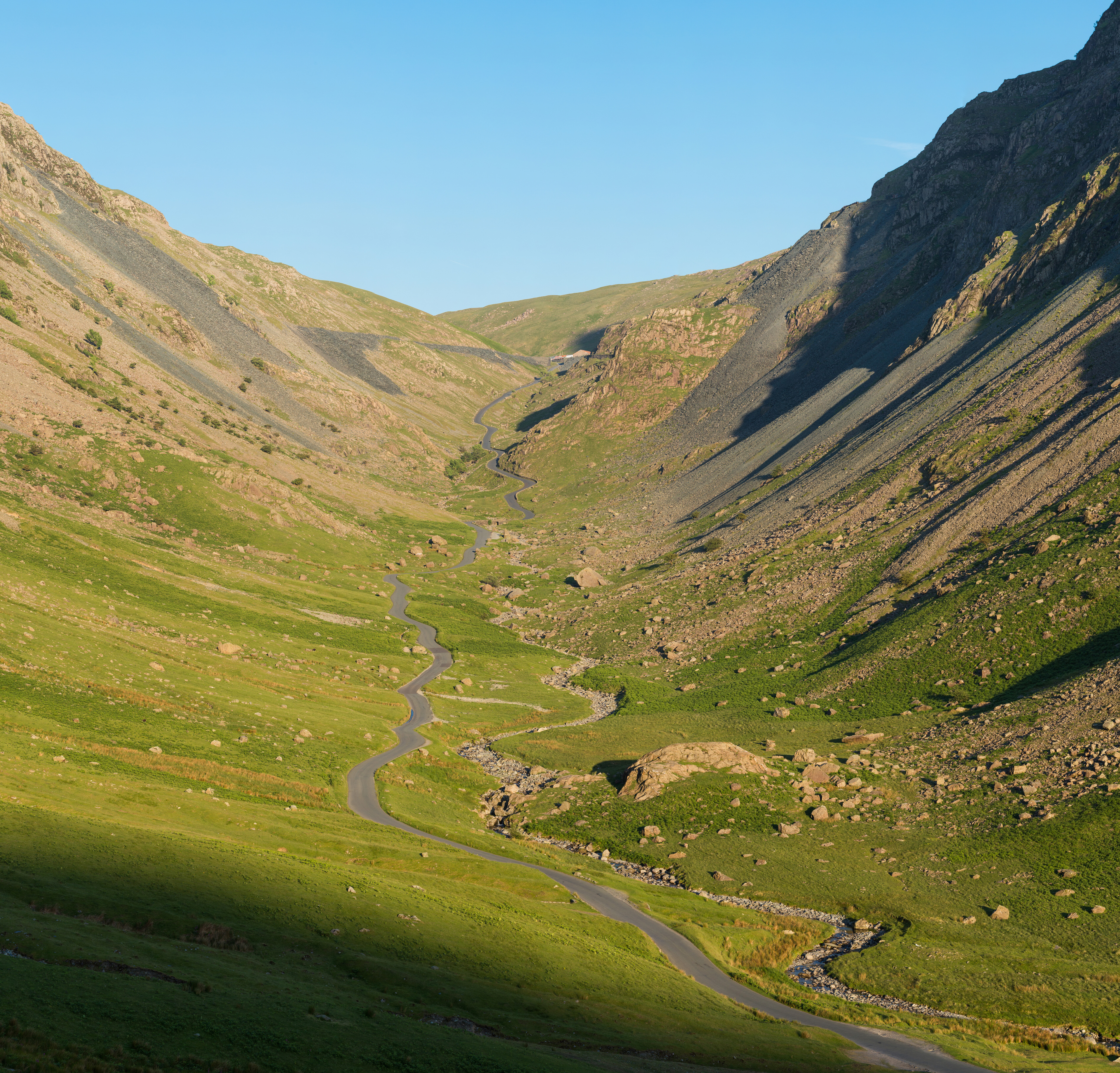
Seatoller Fell is a stunning and picturesque area located in Cumberland, England. As part of the Lake District National Park, it is renowned for its breathtaking beauty and diverse landscape. Covering a vast expanse of approximately 10 square kilometers, Seatoller Fell encompasses both downs and moorland.
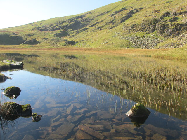
The downs of Seatoller Fell offer rolling hills with lush green grass and scattered trees, providing a tranquil and serene setting. The area is known for its panoramic views, allowing visitors to admire the surrounding mountains and valleys. The gentle slopes of the downs make it an ideal spot for leisurely walks and picnics, attracting nature enthusiasts and families alike.
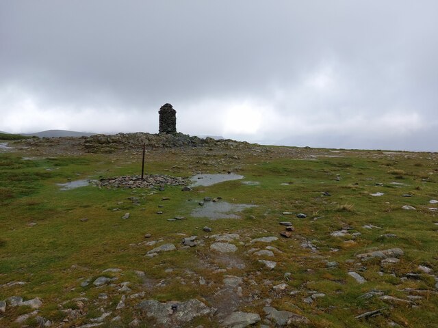
In contrast, the moorland of Seatoller Fell presents a more rugged and wild environment. Here, visitors can explore vast open spaces covered in heather and bracken, interspersed with rocky outcrops and peat bogs. The moorland is home to a variety of flora and fauna, including heather, bilberry, red grouse, and skylarks. The unique and untouched nature of this landscape offers a sense of solitude and a chance to immerse oneself in the untamed beauty of the area.
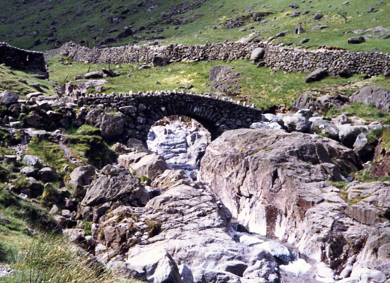
Seatoller Fell is a haven for outdoor activities such as hiking, birdwatching, and photography. The well-maintained paths provide access to the various viewpoints and landmarks, including the popular Castle Crag. The area also offers opportunities for camping and wild camping, allowing visitors to fully immerse themselves in the natural surroundings.
Overall, Seatoller Fell in Cumberland is a captivating destination for those seeking to connect with nature, offering a combination of downs and moorland that showcases the diverse beauty of the Lake District National Park.
If you have any feedback on the listing, please let us know in the comments section below.
Seatoller Fell Images
Images are sourced within 2km of 54.510673/-3.1899264 or Grid Reference NY2313. Thanks to Geograph Open Source API. All images are credited.


Seatoller Fell is located at Grid Ref: NY2313 (Lat: 54.510673, Lng: -3.1899264)
Administrative County: Cumbria
District: Allerdale
Police Authority: Cumbria
What 3 Words
///refuses.commended.public. Near Keswick, Cumbria
Nearby Locations
Related Wikis
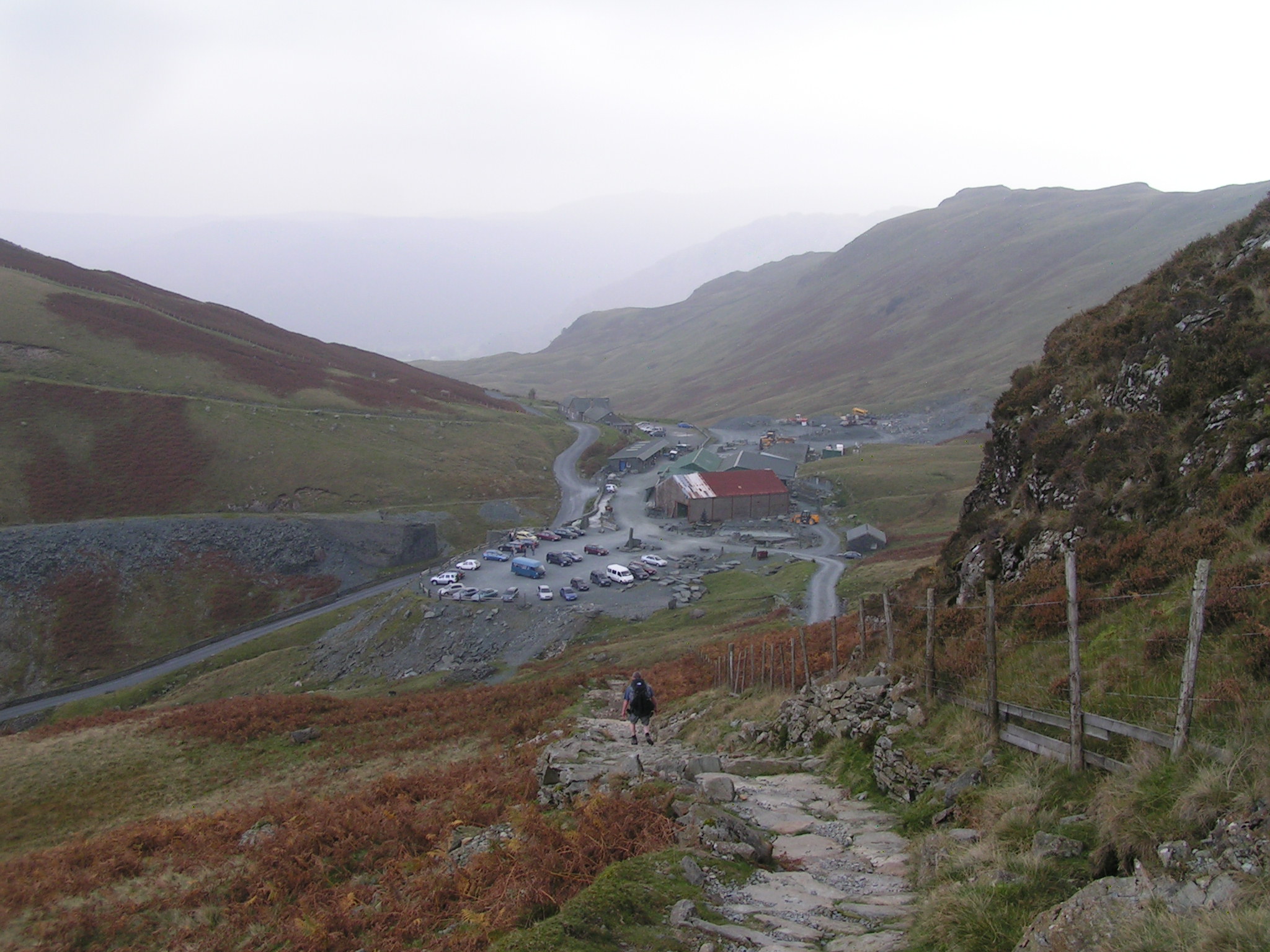
Honister Slate Mine
The Honister Slate Mine in Cumbria is the last working slate mine in England. Quarrying for Westmorland green slate has been taking place in the area since...

Grey Knotts
Grey Knotts is a fell in the English Lake District. It is situated one kilometre (2⁄3 mile) south of the B5289 road as it crosses the Honister Pass. It...
Seatoller
Seatoller is a settlement in Borrowdale in the English Lake District. Historically part of Cumberland, it lies on the B5289 road at the east foot of the...
Seathwaite, Cumberland
Seathwaite is a small hamlet in the Borrowdale civil parish of Cumberland, Cumbria, North West England. It is in the Lake District near Scafell Pike and...
Honister Pass
Honister Pass is a mountain pass in the Lake District in Cumbria, England. It is located on the B5289 road, linking Seatoller, in the valley of Borrowdale...

Honister Crag
Honister Crag is a fell in the English Lake District. It has a height of 634 metres. It is adjacent to Fleetwith Pike, a higher summit, but it can claim...

Lake District
The Lake District, also known as the Lakes or Lakeland, is a mountainous region and national park in North West England. It is primarily famous for its...

Dale Head
Dale Head is a fell in the north-western sector of the Lake District, in northern England. It is 753 metres or 2,470 foot above sea level and stands immediately...
Nearby Amenities
Located within 500m of 54.510673,-3.1899264Have you been to Seatoller Fell?
Leave your review of Seatoller Fell below (or comments, questions and feedback).