Twiglees Moss
Downs, Moorland in Dumfriesshire
Scotland
Twiglees Moss
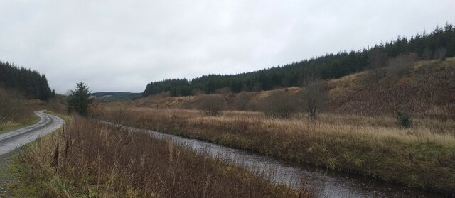
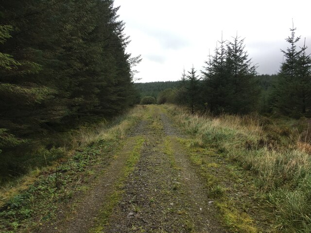
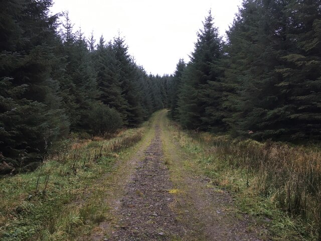
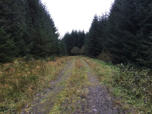
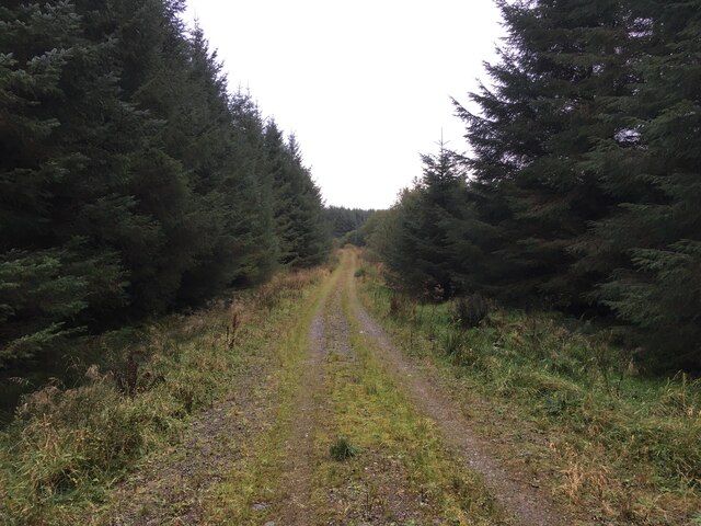
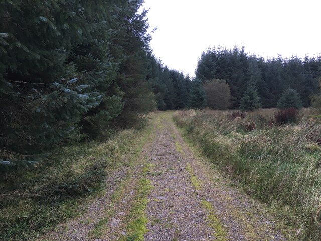
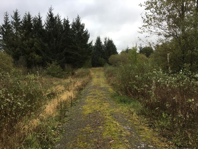
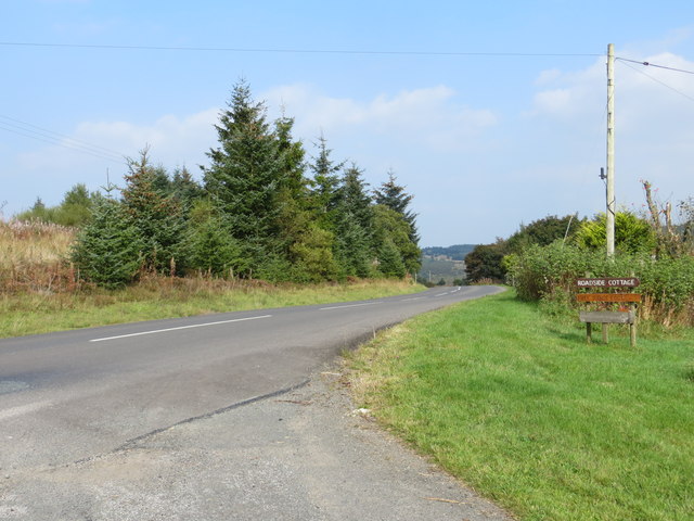
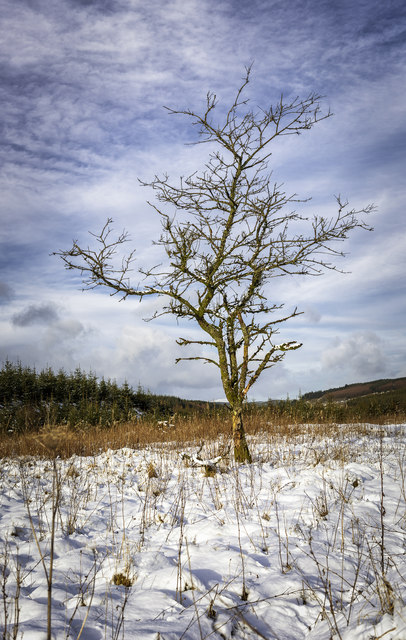
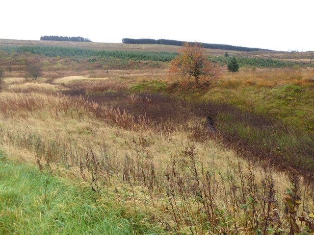
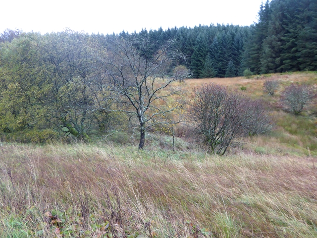
Twiglees Moss is a vast expanse of moorland located in Dumfriesshire, Scotland. Situated in the picturesque countryside, it spans over several acres and is renowned for its rich natural beauty and unique ecosystem. The moss is characterized by its undulating terrain, covered in a thick carpet of mosses, heather, and other low-lying vegetation.
The area is predominantly composed of peat, formed by the accumulation of decomposed plant material over centuries. This makes it a valuable habitat for a wide variety of plant and animal species. Rare and endangered species such as the bog rosemary, butterwort, and sundew can be found thriving in this unique environment. Additionally, the moss provides an important breeding ground for various species of birds, including the golden plover and curlew.
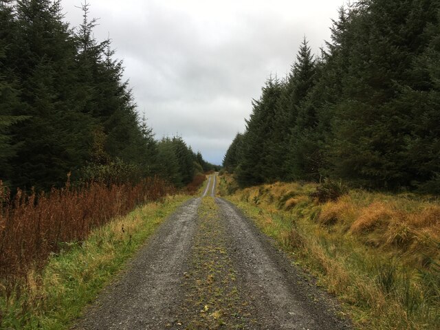
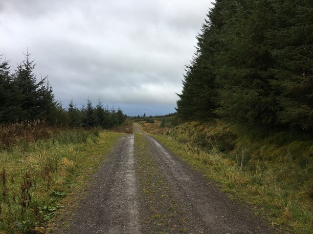
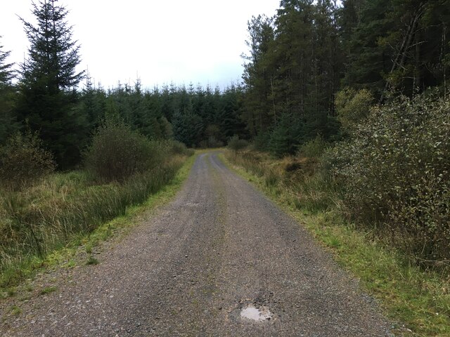
Visitors to Twiglees Moss can enjoy scenic walks and hikes along the numerous trails that crisscross the moorland. The peaceful and serene atmosphere offers a perfect escape from the hustle and bustle of daily life. Wildlife enthusiasts and birdwatchers are particularly drawn to the area, as it offers excellent opportunities for spotting rare and elusive species.
It is important to note that Twiglees Moss is a protected area, designated as a Site of Special Scientific Interest (SSSI), in order to preserve its fragile ecosystem and prevent any damage from human interference. Visitors are encouraged to adhere to the designated paths and follow the guidelines to ensure the preservation of this unique natural habitat for future generations to enjoy.
If you have any feedback on the listing, please let us know in the comments section below.
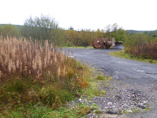
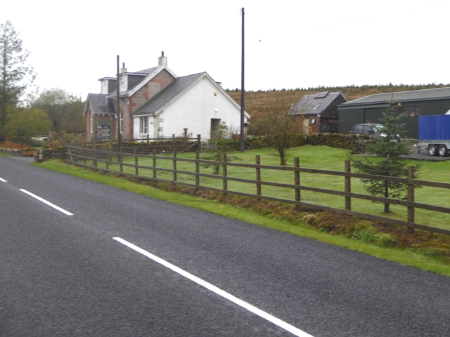
Twiglees Moss Images
Images are sourced within 2km of 55.245426/-3.2258574 or Grid Reference NY2295. Thanks to Geograph Open Source API. All images are credited.

Twiglees Moss is located at Grid Ref: NY2295 (Lat: 55.245426, Lng: -3.2258574)
Unitary Authority: Dumfries and Galloway
Police Authority: Dumfries and Galloway
What 3 Words
///workflow.browsers.enthused. Near Bentpath, Dumfries & Galloway
Nearby Locations
Related Wikis

Castle O'er Forest
Castle O'er Forest is a forest south of Eskdalemuir, Dumfries and Galloway, in southern Scotland.It is bisected by the River Esk. Eskdalemuir Forest adjoins...

Girdle Stanes
The Girdle Stanes (grid reference NY 25351 96153) is a stone circle near Eskdalemuir, Dumfries and Galloway. The western portion of the circle has been...

Holm, Inverness
Holm is a small residential area in the south of the city of Inverness, Scotland. The area lies east of the River Ness. The most prominent structure in...

Loupin Stanes
The Loupin Stanes (grid reference NY25709663) is a stone circle near Eskdalemuir, Dumfries and Galloway. Oval in shape, it consists of twelve stones set...
Eskdalemuir
Eskdalemuir is a civil parish and small village in Dumfries and Galloway, Scotland, with a population of 265. It is around 10 miles (16 km) north-west...

Kagyu Samye Ling Monastery and Tibetan Centre
Kagyu Samye Ling Monastery and Tibetan Centre is a Tibetan Buddhist complex associated with the Karma Kagyu school located at Eskdalemuir, Scotland....

Eskdalemuir Forest
Eskdalemuir Forest is a forest north of Eskdalemuir, Dumfries and Galloway, in southern Scotland. It was created as a private enterprise by the Economic...

Whitcastles stone circle
Whitcastles or Little Hartfell (grid reference NY 2240 8806) is a stone circle 6½ miles NE of Lockerbie, Dumfries and Galloway. Nine fallen stones lie...
Related Videos

The Kalachakra Mandala in a Buddhist temple in Scotland
On a stained glass window at the Tibetan Buddhist centre Samye Ling in Scotland we find this interpretation of the Kalachakra ...
Nearby Amenities
Located within 500m of 55.245426,-3.2258574Have you been to Twiglees Moss?
Leave your review of Twiglees Moss below (or comments, questions and feedback).