Nowt Brae

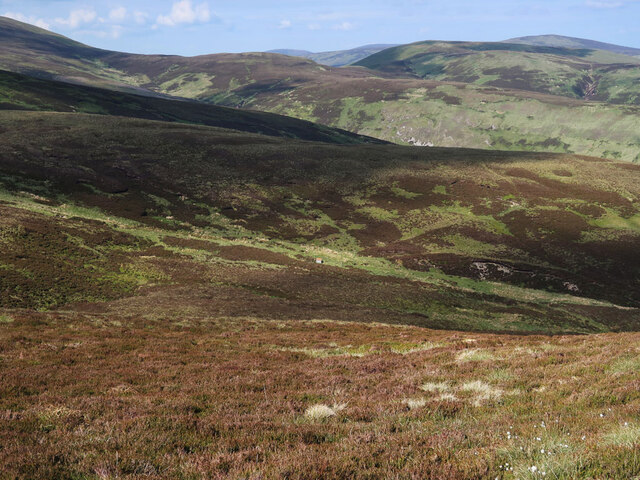
Downs, Moorland in Peeblesshire

Scotland

Nowt Brae

Megget Reservoir The reservoir was opened on 30th September 1983 and under normal conditions has an area of water surface of 259Ha (640 acres).
Megget Reservoir Credit: Walter Baxter

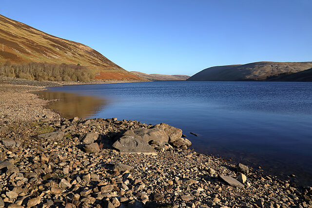
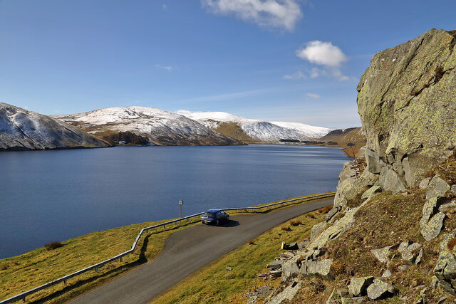
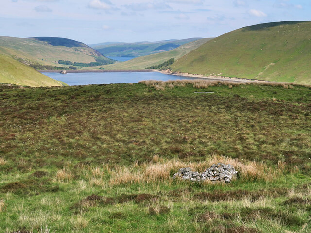
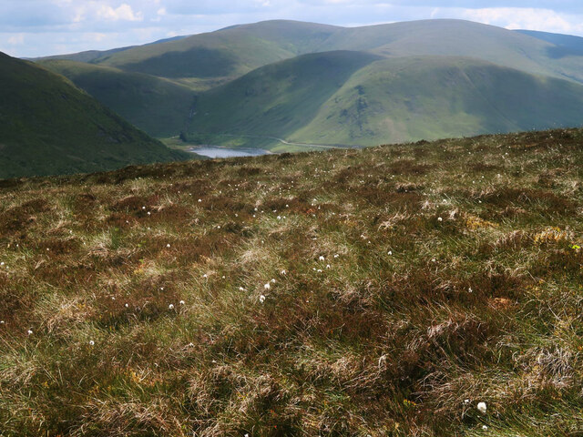
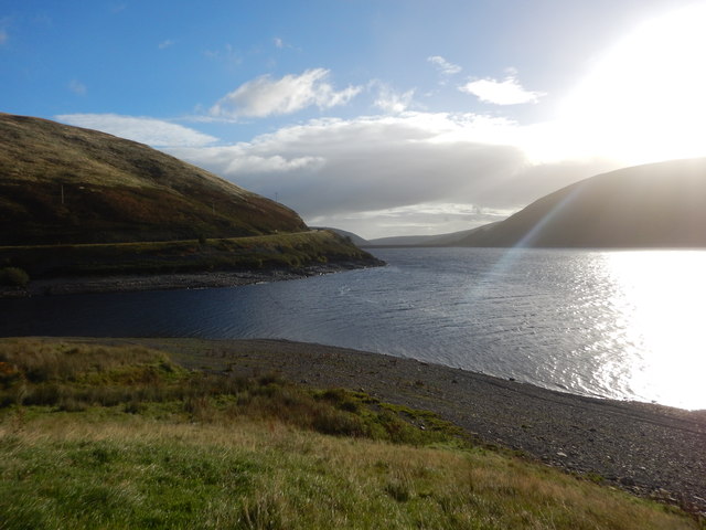
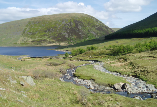
Nowt Brae is a picturesque area located in Peeblesshire, a historic county in the Scottish Borders region of Scotland. Situated amidst rolling hills and breathtaking moorland, Nowt Brae offers visitors a tranquil and scenic escape from the hustle and bustle of city life.

The landscape of Nowt Brae is characterized by its downs and moorland, which are a result of the area's geological history. The downs, or gently sloping hills, provide a gentle and serene backdrop, while the moorland offers a more rugged and wild terrain. The combination of these features makes Nowt Brae an ideal destination for hiking and nature enthusiasts.

The area is rich in flora and fauna, with an abundance of heather, moss, and various species of wildflowers dotting the landscape. It is also home to a diverse range of wildlife, including red deer, grouse, and various bird species, making it a haven for birdwatchers and wildlife photographers.

Nowt Brae is also steeped in history, with several ancient sites and ruins scattered throughout the area. These include standing stones, burial mounds, and remnants of old settlements, providing a glimpse into the area's fascinating past.

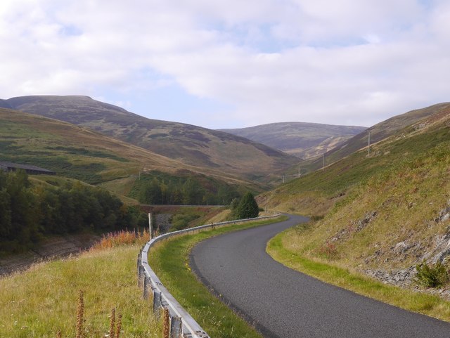
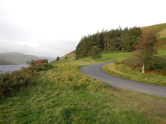
For those seeking outdoor activities, Nowt Brae offers ample opportunities for walking, cycling, and even horseback riding. The surrounding hills and moorland provide a network of trails and paths, catering to all levels of fitness and ability.

Overall, Nowt Brae is a hidden gem in Peeblesshire, offering visitors a chance to immerse themselves in the natural beauty and rich heritage of the Scottish Borders.

If you have any feedback on the listing, please let us know in the comments section below.

Nowt Brae Images

Images are sourced within 2km of 55.497233/-3.2741465 or Grid Reference NT1923. Thanks to Geograph Open Source API. All images are credited.

Megget Reservoir The reservoir was opened on 30th September 1983 and under normal conditions has an area of water surface of 259Ha (640 acres).
Megget Reservoir
The reservoir was opened on 30th September 1983 and under normal conditions has an area of water surface of 259Ha (640 acres).
Megget Reservoir The reservoir was viewed on a beautiful early April morning.
Megget Reservoir
The reservoir was viewed on a beautiful early April morning.
Moorland above the Megget Reservoir With an old grouse butt on the right. Looking towards the Megget Dam and St Mary's Loch.
Moorland above the Megget Reservoir
With an old grouse butt on the right. Looking towards the Megget Dam and St Mary's Loch.
Heather moorland and cotton grass on Clockmore Looking towards Dead for Cauld at the western end of the Megget Reservoir.
Heather moorland and cotton grass on Clockmore
Looking towards Dead for Cauld at the western end of the Megget Reservoir.
Moorland on Clockmore Looking towards the start of Stottin Cleuch and Stottin Rig.
Moorland on Clockmore
Looking towards the start of Stottin Cleuch and Stottin Rig.
Track beside the Cramalt Burn On the east side of Cramalt Craig.
Track beside the Cramalt Burn
On the east side of Cramalt Craig.
Low water in the Megget Reservoir This reservoir - the main one supplying Edinburgh - is at a seriously low level after an extended dry spell.
Low water in the Megget Reservoir
This reservoir - the main one supplying Edinburgh - is at a seriously low level after an extended dry spell.
Craigie Rig This is an area of rough grazing with patches of heather. The high hill in the background is Cramalt Craig.
Craigie Rig
This is an area of rough grazing with patches of heather. The high hill in the background is Cramalt Craig.
Megget Dam On Megget Dam looking towards the slopes of Syart Law.
Megget Dam
On Megget Dam looking towards the slopes of Syart Law.
The draw-off and overflow tower at Megget Reservoir The reservoir was opened on 30th September 1983 and under normal conditions has an area of surface water of 259 hectares (640 acres).
The draw-off and overflow tower at Megget Reservoir
The reservoir was opened on 30th September 1983 and under normal conditions has an area of surface water of 259 hectares (640 acres).
A frozen pool at Craigie Rig Broomy Law is the hill in the background.
A frozen pool at Craigie Rig
Broomy Law is the hill in the background.
Megget Reservoir Stones exposed by the drawn down reservoir at the mouth of the Cramalt Arm.
Megget Reservoir
Stones exposed by the drawn down reservoir at the mouth of the Cramalt Arm.
Road, Megget Water The new, post flooding road makes a long circuit of the Cramalt Arm.
Road, Megget Water
The new, post flooding road makes a long circuit of the Cramalt Arm.
Megget Dam - Picnic Layby Access Road This Picnic area has a new tower ruin that represents the flooded towers in the reservoir.
Megget Dam - Picnic Layby Access Road
This Picnic area has a new tower ruin that represents the flooded towers in the reservoir.
Megget Reservoir Sunrise
Cramalt inlet on a dark day The loop around the Cramalt inlet as the weather deteriorates.
Cramalt inlet on a dark day
The loop around the Cramalt inlet as the weather deteriorates.
Megget Reservoir road The replacement road above the reservoir, approaching Ling Hope.
Megget Reservoir road
The replacement road above the reservoir, approaching Ling Hope.
Bridge, Ling Hope The road along the Megget Reservoir crosses a deep cleuch here.
Bridge, Ling Hope
The road along the Megget Reservoir crosses a deep cleuch here.
Show me another place!

Nowt Brae is located at Grid Ref: NT1923 (Lat: 55.497233, Lng: -3.2741465)

Unitary Authority: The Scottish Borders

Police Authority: The Lothians and Scottish Borders

What 3 Words

///bidder.fuss.nurtures. Near Ettrick, Scottish Borders

Related Wikis

Megget

Megget is a former chapelry or parish containing the valley of Megget Water, now forming the westernmost part of the parish of Yarrow, Selkirkshire in...

Craigierig

Craigierig is a village on the Megget Reservoir, in the Scottish Borders area of Scotland, in the former Selkirkshire. Places nearby include the Glengaber...
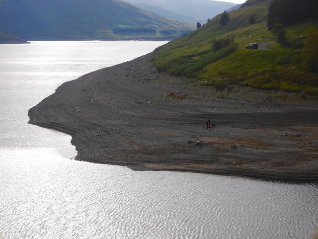
Megget Reservoir

Megget Reservoir is an impounding reservoir in the Megget valley in Ettrick Forest, in the Scottish Borders. The 259 hectares (640 acres) reservoir is...

Black Law (hill)

Black Law is a hill in the Manor Hills range, part of the Southern Uplands of Scotland. One of the more remote Donalds, it does not easily combine into...

Cappercleuch

Cappercleuch is a settlement on the A708, at St. Mary's Loch in the Scottish Borders area of Scotland, in the historic county of Selkirkshire. Places nearby...

Megget Water

Megget Water is a river in the parish of Yarrow, Selkirkshire in the Scottish Borders area of Scotland. The Water rises at Broad Law (2,760 ft), passes...

Broad Law

Broad Law is a hill in the Manor Hills range, part of the Southern Uplands of Scotland. The second-highest point in the Southern Uplands and the highest...

St Mary's Loch

St Mary's Loch is the largest natural loch in the Scottish Borders, and is situated on the south side of the A708 road between Selkirk and Moffat, about...

Nearby Amenities

Located within 500m of 55.497233,-3.2741465
Passing Place
Lat/Long: 55.4928365/-3.2749533
Material: wood
Power: pole
Lat/Long: 55.4965926/-3.2751732
Material: wood
Power: pole
Lat/Long: 55.4936401/-3.2697812
Material: wood
Power: pole
Lat/Long: 55.4950828/-3.2724063
Material: wood
Power: pole
Lat/Long: 55.4935622/-3.2756787
Material: wood
Power: pole
Lat/Long: 55.4929465/-3.2754406
Material: wood
Power: pole
Lat/Long: 55.4950685/-3.277096
Material: wood
Power: pole
Lat/Long: 55.4961154/-3.2764804
Power: pole
Lat/Long: 55.494078/-3.2705501
Power: pole
Lat/Long: 55.4945714/-3.2714615
Power: pole
Lat/Long: 55.4960813/-3.2742361
Power: pole
Lat/Long: 55.4955811/-3.2733195
Power: pole
Lat/Long: 55.4940779/-3.276164
Power: pole
Lat/Long: 55.4945838/-3.27664
The data included in this document is from www.openstreetmap.org. The data is made available under ODbL.

Have you been to Nowt Brae?

Leave your review of Nowt Brae below (or comments, questions and feedback).