Bught Slack

Valley in Peeblesshire

Scotland

Bught Slack

Megget Reservoir The reservoir was viewed on a beautiful early April morning.
Megget Reservoir Credit: Walter Baxter

Bught Slack is a picturesque valley located in Peeblesshire, Scotland. Nestled in the southern part of the country, this valley offers breathtaking views of the surrounding landscape.

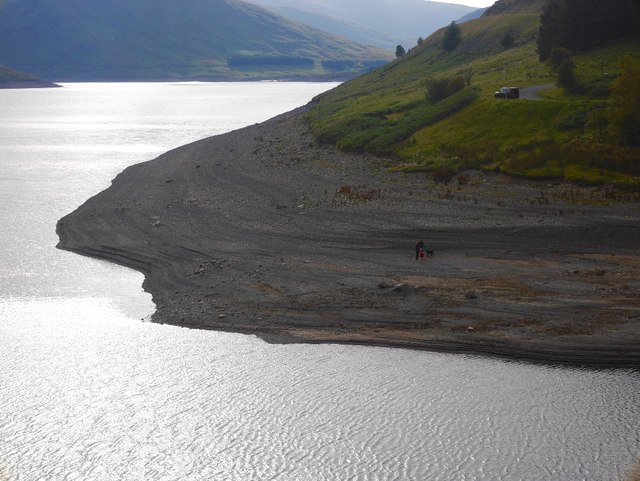
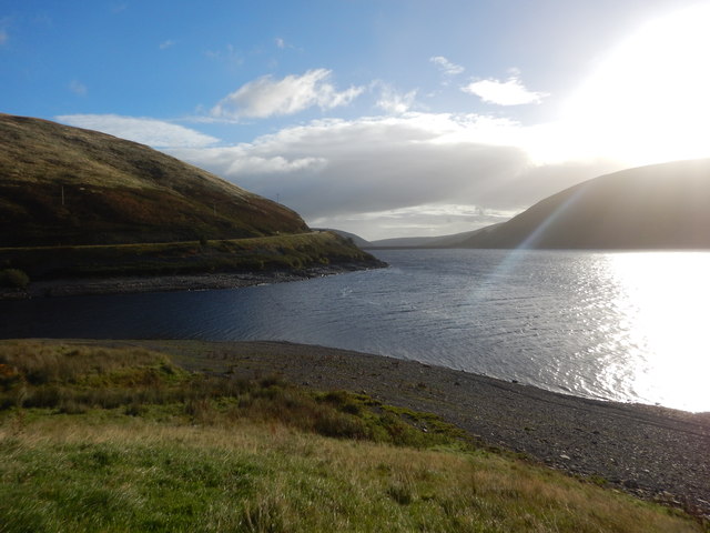
At the heart of Bught Slack, a small river meanders through the valley, adding to its natural charm. The river's crystal-clear waters are home to a variety of wildlife, including fish and waterfowl. The lush vegetation that lines its banks adds to the valley's beauty, creating a tranquil and serene atmosphere.

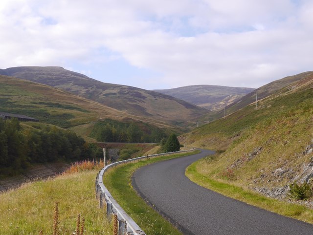
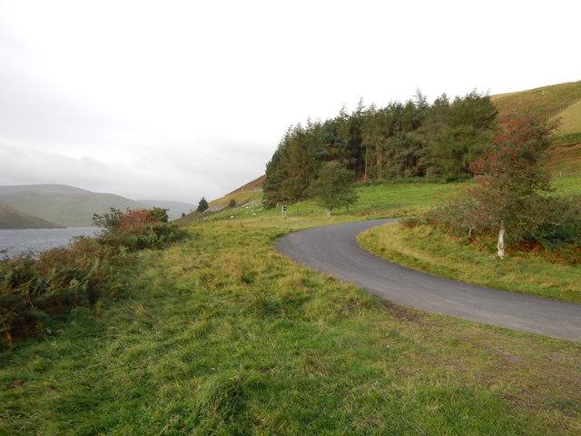
Surrounding Bught Slack, rolling hills and dense forests provide a stunning backdrop. The valley is particularly known for its vibrant autumn colors when the trees are ablaze with shades of red, orange, and gold. The changing seasons offer visitors a chance to witness the valley's ever-evolving beauty.

Bught Slack is a haven for outdoor enthusiasts. Its peaceful setting makes it an ideal spot for hiking and exploring the surrounding countryside. The valley is crisscrossed with a network of trails that cater to all levels of fitness and abilities. From leisurely strolls to more challenging hikes, there is something for everyone to enjoy.

For those seeking a more leisurely experience, Bught Slack is also a popular spot for picnicking and birdwatching. The valley's natural tranquility and abundance of wildlife make it a haven for bird species, attracting avid birdwatchers from near and far.

Overall, Bught Slack is a hidden gem in Peeblesshire, offering visitors a chance to immerse themselves in the beauty of Scotland's countryside. Whether exploring its trails or simply enjoying the peacefulness of the valley, a visit to Bught Slack is sure to leave visitors with lasting memories.

If you have any feedback on the listing, please let us know in the comments section below.
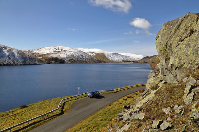
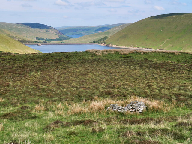
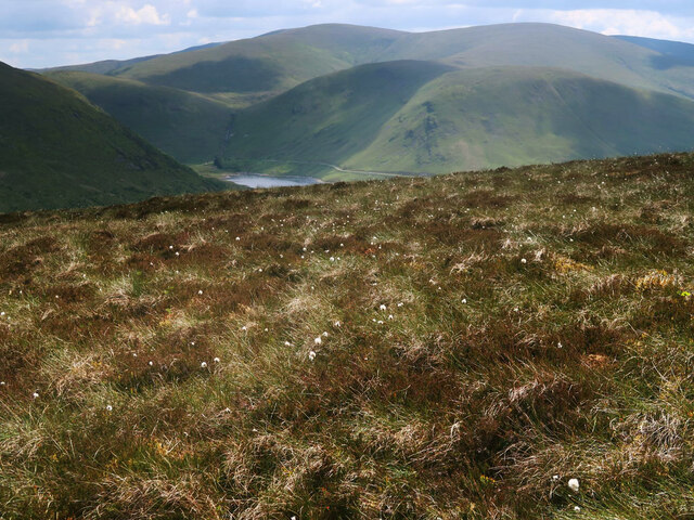
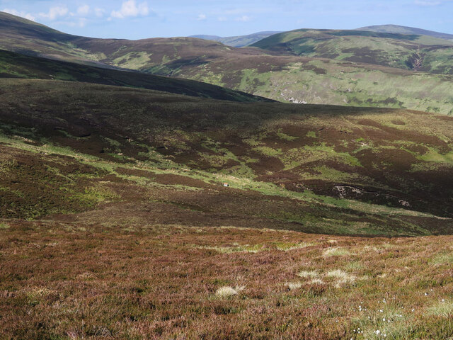
Bught Slack Images

Images are sourced within 2km of 55.497825/-3.2682135 or Grid Reference NT1923. Thanks to Geograph Open Source API. All images are credited.

Megget Reservoir The reservoir was viewed on a beautiful early April morning.
Megget Reservoir
The reservoir was viewed on a beautiful early April morning.
Moorland above the Megget Reservoir With an old grouse butt on the right. Looking towards the Megget Dam and St Mary's Loch.
Moorland above the Megget Reservoir
With an old grouse butt on the right. Looking towards the Megget Dam and St Mary's Loch.
Heather moorland and cotton grass on Clockmore Looking towards Dead for Cauld at the western end of the Megget Reservoir.
Heather moorland and cotton grass on Clockmore
Looking towards Dead for Cauld at the western end of the Megget Reservoir.
Moorland on Clockmore Looking towards the start of Stottin Cleuch and Stottin Rig.
Moorland on Clockmore
Looking towards the start of Stottin Cleuch and Stottin Rig.
Track beside the Cramalt Burn On the east side of Cramalt Craig.
Track beside the Cramalt Burn
On the east side of Cramalt Craig.
Low water in the Megget Reservoir This reservoir - the main one supplying Edinburgh - is at a seriously low level after an extended dry spell.
Low water in the Megget Reservoir
This reservoir - the main one supplying Edinburgh - is at a seriously low level after an extended dry spell.
Craigie Rig This is an area of rough grazing with patches of heather. The high hill in the background is Cramalt Craig.
Craigie Rig
This is an area of rough grazing with patches of heather. The high hill in the background is Cramalt Craig.
Megget Dam On Megget Dam looking towards the slopes of Syart Law.
Megget Dam
On Megget Dam looking towards the slopes of Syart Law.
The draw-off and overflow tower at Megget Reservoir The reservoir was opened on 30th September 1983 and under normal conditions has an area of surface water of 259 hectares (640 acres).
The draw-off and overflow tower at Megget Reservoir
The reservoir was opened on 30th September 1983 and under normal conditions has an area of surface water of 259 hectares (640 acres).
A frozen pool at Craigie Rig Broomy Law is the hill in the background.
A frozen pool at Craigie Rig
Broomy Law is the hill in the background.
An access track above the Glengaber Burn The steep hill on the right is Broomy Law in winter colours. For the same view in June taken by Jim Barton, see <a href="https://www.geograph.org.uk/photo/6194118">NT2123 : Track in Glen Gaber</a>.
An access track above the Glengaber Burn
The steep hill on the right is Broomy Law in winter colours. For the same view in June taken by Jim Barton, see NT2123 : Track in Glen Gaber.
A commemorative stone at Glenagaber The stone is inscribed as follows:-

2013
SET HERE TO MARK
150 YEARS OF PARTNERSHIP
BETWEEN
THE WEMYSS AND MARCH ESTATES
AND THE MITCHELL FAMILY
TENANTS IN HENDERLAND
SINCE 1863
A commemorative stone at Glenagaber
The stone is inscribed as follows:- 2013 SET HERE TO MARK 150 YEARS OF PARTNERSHIP BETWEEN THE WEMYSS AND MARCH ESTATES AND THE MITCHELL FAMILY TENANTS IN HENDERLAND SINCE 1863
The Glengaber Burn
The Glengaber Burn
Megget Reservoir Stones exposed by the drawn down reservoir at the mouth of the Cramalt Arm.
Megget Reservoir
Stones exposed by the drawn down reservoir at the mouth of the Cramalt Arm.
Road, Megget Water The new, post flooding road makes a long circuit of the Cramalt Arm.
Road, Megget Water
The new, post flooding road makes a long circuit of the Cramalt Arm.
Megget Dam - Picnic Layby Access Road This Picnic area has a new tower ruin that represents the flooded towers in the reservoir.
Megget Dam - Picnic Layby Access Road
This Picnic area has a new tower ruin that represents the flooded towers in the reservoir.
Megget Reservoir Sunrise
Cramalt inlet on a dark day The loop around the Cramalt inlet as the weather deteriorates.
Cramalt inlet on a dark day
The loop around the Cramalt inlet as the weather deteriorates.
Show me another place!

Bught Slack is located at Grid Ref: NT1923 (Lat: 55.497825, Lng: -3.2682135)

Unitary Authority: The Scottish Borders

Police Authority: The Lothians and Scottish Borders

What 3 Words

///veto.cheeses.existence. Near Ettrick, Scottish Borders

Related Wikis

Craigierig

Craigierig is a village on the Megget Reservoir, in the Scottish Borders area of Scotland, in the former Selkirkshire. Places nearby include the Glengaber...

Megget

Megget is a former chapelry or parish containing the valley of Megget Water, now forming the westernmost part of the parish of Yarrow, Selkirkshire in...

Megget Reservoir

Megget Reservoir is an impounding reservoir in the Megget valley in Ettrick Forest, in the Scottish Borders. The 259 hectares (640 acres) reservoir is...

Cappercleuch

Cappercleuch is a settlement on the A708, at St. Mary's Loch in the Scottish Borders area of Scotland, in the historic county of Selkirkshire. Places nearby...

Nearby Amenities

Located within 500m of 55.497825,-3.2682135
Material: wood
Power: pole
Lat/Long: 55.4940691/-3.2660307
Material: wood
Power: pole
Lat/Long: 55.4965926/-3.2751732
Material: wood
Power: pole
Lat/Long: 55.4936401/-3.2697812
Material: wood
Power: pole
Lat/Long: 55.496232/-3.2609307
Material: wood
Power: pole
Lat/Long: 55.4950828/-3.2724063
Material: wood
Power: pole
Lat/Long: 55.49538/-3.2623459
Material: wood
Power: pole
Lat/Long: 55.4936695/-3.2678583
Material: wood
Power: pole
Lat/Long: 55.4947374/-3.2641586
Power: pole
Lat/Long: 55.4936565/-3.2687046
Power: pole
Lat/Long: 55.493867/-3.266955
Power: pole
Lat/Long: 55.4944144/-3.2650819
Power: pole
Lat/Long: 55.494078/-3.2705501
Power: pole
Lat/Long: 55.4945714/-3.2714615
Power: pole
Lat/Long: 55.4960813/-3.2742361
Power: pole
Lat/Long: 55.4955811/-3.2733195
Power: pole
Lat/Long: 55.4950911/-3.2631607
The data included in this document is from www.openstreetmap.org. The data is made available under ODbL.

Have you been to Bught Slack?

Leave your review of Bught Slack below (or comments, questions and feedback).