Drags Moss
Downs, Moorland in Caithness
Scotland
Drags Moss

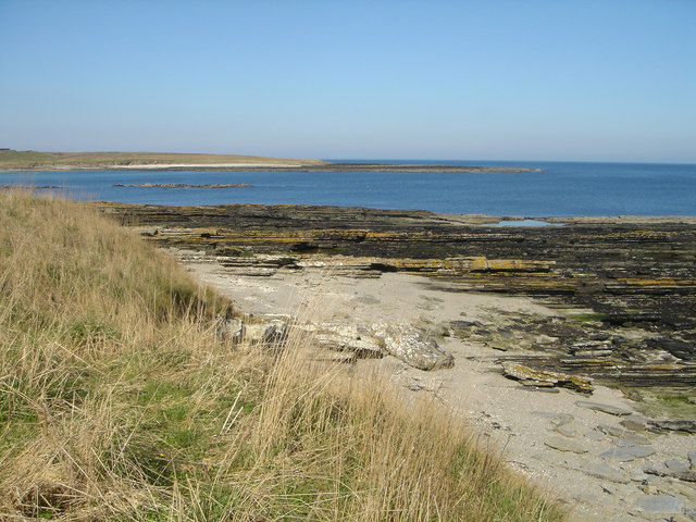
Drags Moss is a scenic peatland located in Caithness, Scotland. Situated amidst the picturesque countryside, this area is a perfect representation of the region's unique landscape. The moss covers an extensive area, encompassing both downs and moorland, and is characterized by its damp, boggy terrain.
The moss is dominated by a diverse range of plant species, including heather, cotton grass, and various types of mosses. These plants thrive in the nutrient-rich, waterlogged conditions, creating a vibrant and colorful display throughout the year. The area is also home to various wildlife species, such as birds, insects, and small mammals, which find shelter and sustenance within the moss's ecosystem.
Visitors to Drags Moss can explore the area through a network of well-maintained footpaths and boardwalks, allowing them to appreciate the unique beauty of this natural habitat while preserving its delicate balance. The moss provides a tranquil setting for nature enthusiasts, hikers, and photographers, who can capture the stunning vistas and capture the essence of the Scottish countryside.
Throughout the seasons, Drags Moss offers different experiences for visitors. In spring and summer, the landscape transforms into a sea of blooming heather and vibrant wildflowers, attracting a myriad of butterflies and bees. Autumn brings a breathtaking palette of red, orange, and gold as the foliage changes, creating a captivating spectacle. Even in winter, the moss retains its charm, with frost-covered grasses and a serene, snow-covered landscape.
Drags Moss is a remarkable natural treasure, showcasing the unique beauty of Caithness's downs and moorland. Its delicate ecosystem, rich flora, and abundant wildlife make it an enchanting destination for nature lovers and a testament to the region's natural heritage.
If you have any feedback on the listing, please let us know in the comments section below.
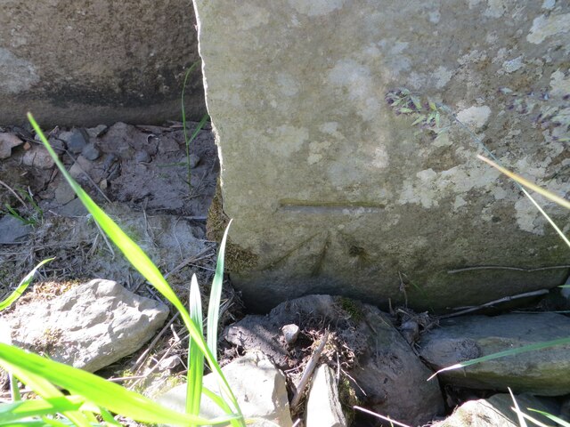
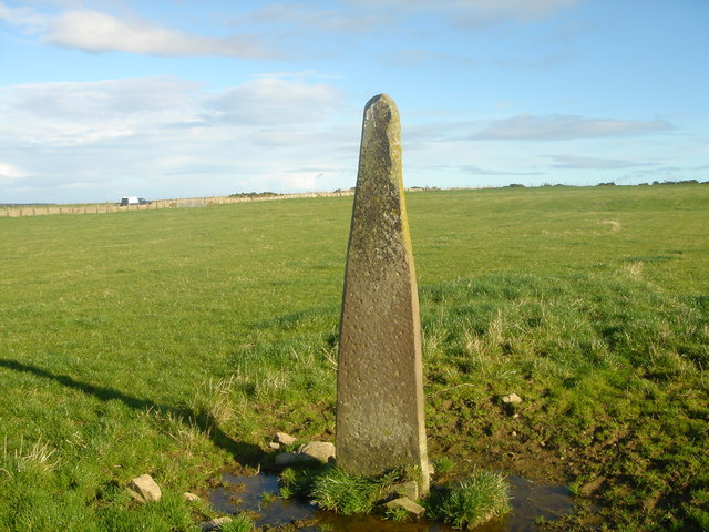
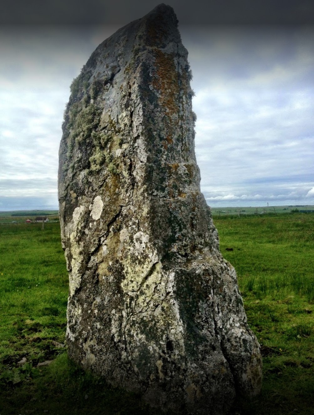
Drags Moss Images
Images are sourced within 2km of 58.572679/-3.3880891 or Grid Reference ND1965. Thanks to Geograph Open Source API. All images are credited.


Drags Moss is located at Grid Ref: ND1965 (Lat: 58.572679, Lng: -3.3880891)
Unitary Authority: Highland
Police Authority: Highlands and Islands
What 3 Words
///signature.smoke.direction. Near Thurso, Highland
Nearby Locations
Related Wikis

Castletown, Highland
Castletown (Scottish Gaelic: Baile a' Chaisteil) is a village on the north coast of the Highland council area of Scotland, situated near Dunnet Bay. It...
Olrig
Olrig is a parish in Caithness, Scotland. The main settlement in the parish is Castletown. Prior to the 19th century, the parish was sub-divided into...

RAF Castletown
Royal Air Force Castletown or more simply RAF Castletown, is a former Royal Air Force station that operated during the Second World War. Built near to...
Murkle
Murkle (Murchill) is a small scattered hamlet, made up of East Murkle and West Murkle located one mile (1.6 km) east of Thurso, in Caithness, Scottish...

Achingills
Achingills (Gaelic: ) is a small hamlet in Halkirk, Caithness within Highland region and is in the Scottish council area of the Highland. Scotland. Achingills...
Stone Lud
The Stone Lud is a standing stone in the parish of Bower in Caithness, in the Highland area of Scotland. It is located and about 7 kilometres (4.3 mi)...

Bower, Highland
Bower (Scottish Gaelic: Bàgair) is a village and civil parish in Highland, Scotland It is 10 miles from Thurso and around 11 miles from Wick. Bower is...
Haimer
Haimer is a small hamlet in Caithness, Scotland. It is located on a road just off the A836 and consists of several small settlements and farming facilities...
Have you been to Drags Moss?
Leave your review of Drags Moss below (or comments, questions and feedback).