Jubilee Garden
Downs, Moorland in Dumfriesshire
Scotland
Jubilee Garden
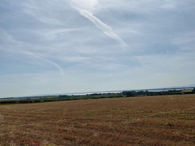
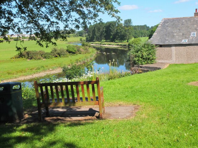
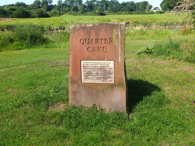
Jubilee Garden is a picturesque natural landscape located in Dumfriesshire, Scotland. Situated in the Downs area, the garden is renowned for its unspoiled moorland and captivating vistas. Spanning over a vast expanse of land, Jubilee Garden offers visitors an opportunity to immerse themselves in the tranquility and beauty of nature.
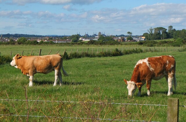
The garden features a diverse range of flora and fauna, showcasing the region's rich biodiversity. Visitors can witness a plethora of wildflowers, including heather, thistles, and foxgloves, painting the landscape with vibrant hues during the summer months. Additionally, the moorland is home to various species of birds, such as curlews, plovers, and lapwings, providing an ideal location for birdwatching enthusiasts.
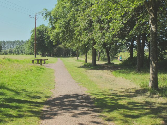
Jubilee Garden offers several walking trails, allowing visitors to explore the stunning scenery at their own pace. The paths wind through the moorland, passing by babbling brooks and ancient stone walls. Along the way, visitors may encounter grazing sheep and Highland cattle, adding to the idyllic rural charm of the garden.
The garden also boasts a picnic area, inviting visitors to enjoy a leisurely lunch amidst the peaceful surroundings. From this vantage point, visitors can admire panoramic views of the rolling hills and distant mountains that dominate the landscape.
Jubilee Garden, Dumfriesshire, is a hidden gem that showcases the natural beauty of the Downs moorland. Whether strolling through the wildflowers, birdwatching, or simply enjoying a picnic, visitors are sure to find solace and tranquility in this captivating natural haven.
If you have any feedback on the listing, please let us know in the comments section below.
Jubilee Garden Images
Images are sourced within 2km of 54.986046/-3.2667601 or Grid Reference NY1966. Thanks to Geograph Open Source API. All images are credited.


Jubilee Garden is located at Grid Ref: NY1966 (Lat: 54.986046, Lng: -3.2667601)
Unitary Authority: Dumfries and Galloway
Police Authority: Dumfries and Galloway
What 3 Words
///lively.expel.baguette. Near Annan, Dumfries & Galloway
Nearby Locations
Related Wikis

Annan Town Hall
Annan Town Hall is a municipal building in the High Street in Annan, Dumfries and Galloway, Scotland. The structure, which accommodates the local library...

Annan Castle
Annan Castle, was a castle that was located on the banks of the River Annan, in Annan, Scotland.A motte and bailey castle was built in the early 12th century...

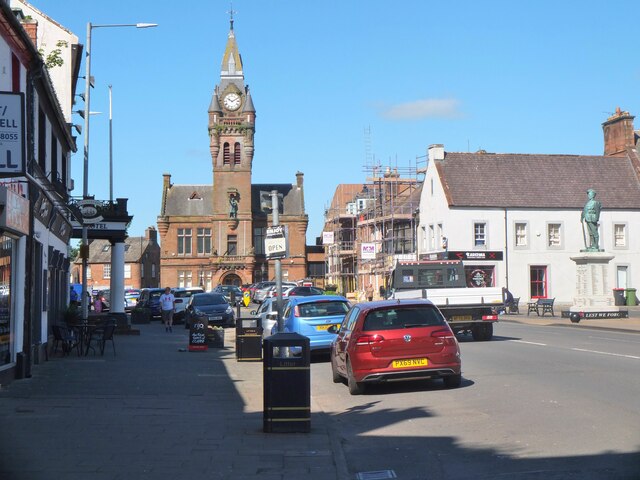
Annan, Dumfries and Galloway
Annan ( AN-ən; Scottish Gaelic: Inbhir Anainn) is a town and former royal burgh in Dumfries and Galloway, south-west Scotland. Historically part of Dumfriesshire...

Annan railway station
Annan is a railway station on the Glasgow South Western Line, which runs between Carlisle and Glasgow Central via Kilmarnock. The station, situated 17...

Newbie Junction Halt railway station
Newbie Junction Halt railway station was a railway station in Dumfries and Galloway, Scotland, located just west of Annan on the old Glasgow and South...

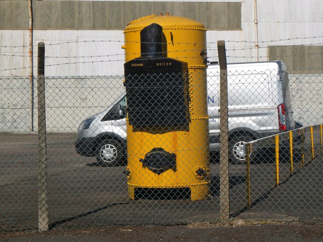
Newbie Branch
The Newbie Branch, Newbie Siding or Cochran & Cos Siding was a freight or mineral branch in Dumfries and Galloway, Scotland, located just west of Annan...
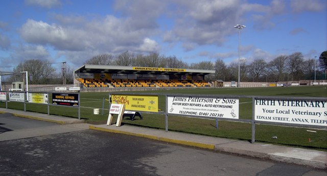
Galabank
Galabank is a football stadium in the town of Annan, Dumfries and Galloway, Scotland. It is the home ground of Scottish Professional Football League club...
Annan Shawhill railway station
Annan Shawhill was a station on the Solway Junction Railway at Annan in Dumfries and Galloway, Scotland. The branch line ran between a junction with the...
Nearby Amenities
Located within 500m of 54.986046,-3.2667601Have you been to Jubilee Garden?
Leave your review of Jubilee Garden below (or comments, questions and feedback).